![]() Buggy friendly walk
Buggy friendly walk
![]() Dog-friendly walk
Dog-friendly walk
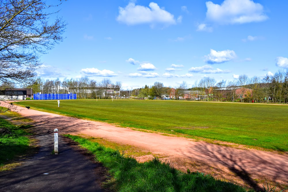
![]() Parking available at Tesco Galston or on-street on Barmill Road. Local bus service stops on Polwarth Street outside the Tesco store.
Parking available at Tesco Galston or on-street on Barmill Road. Local bus service stops on Polwarth Street outside the Tesco store.
View full route description
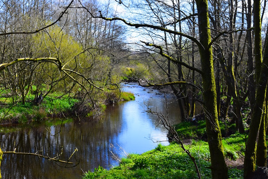
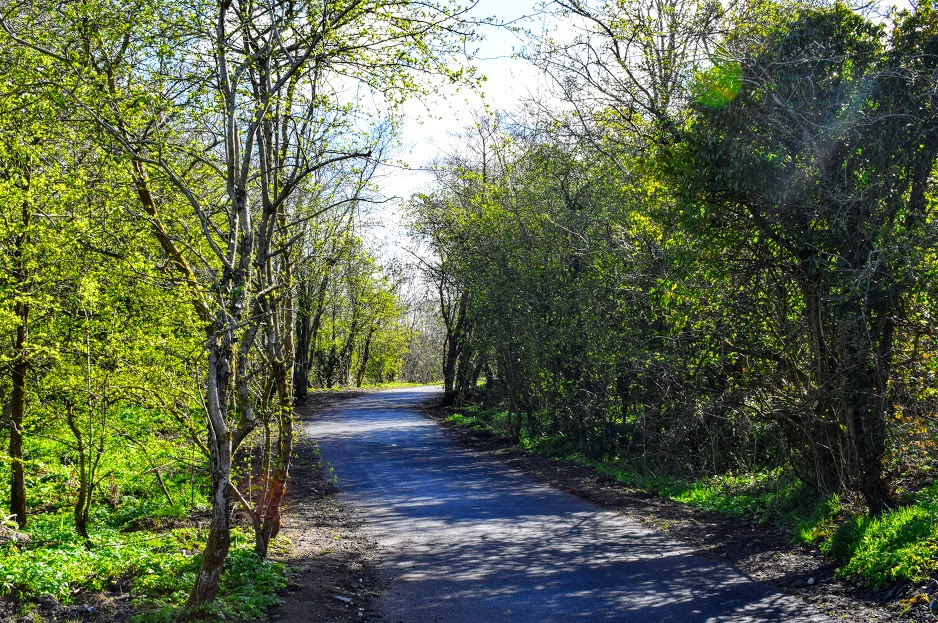
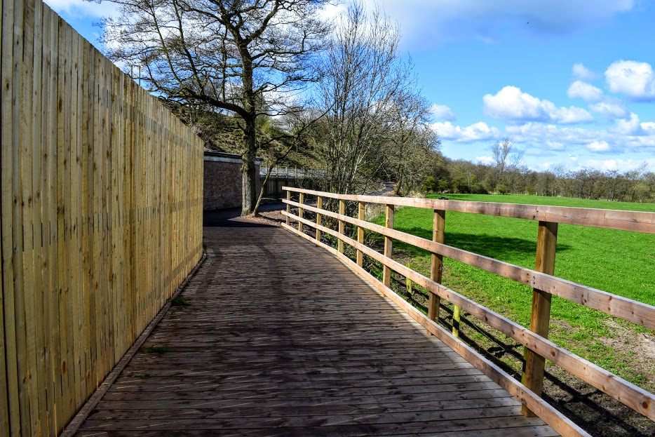
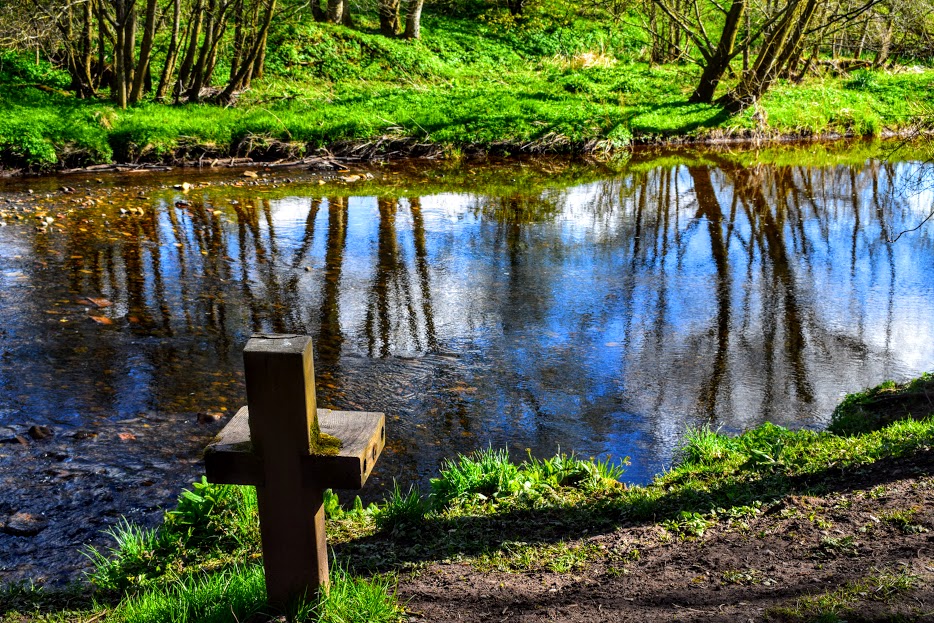
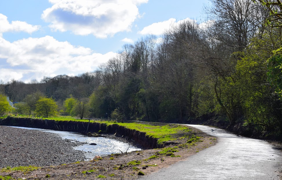
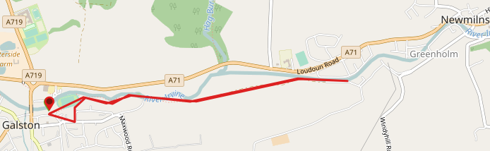
Starting on Barrmill Road, Galston, walk across the running track to a newly surfaced footpath which runs alongside the River Irvine. (To avoid the running track turn left of Barrmill Road onto Maxwood Road and then left again onto Castleview Avenue – this links up to the same footpath). Simply follow this path all the way along, as far into Newmilns as you wish, and return via the same route. We stopped beside a footbridge on the outskirts of Greenholm as you will see on the map and this make it exactly 3 miles there and back.
WALK REPORT: 27th April 2016
My friend Carolyn S invited me to try out this route with her and her little one. I am always on the lookout for good buggy walks so was more than willing! We couldn’t have chosen a better morning in terms of the weather: the sun shone the whole time, even the parasol made an appearance 🙂 And the true test of a good buggy walk: did baby fall asleep? Yes he did!
Not mine, he talked all the way, but as he is fast approaching 3 years old his buggy days are probably coming to an end very soon, sob sob….. He was much better behaved than on the windfarm walk Carolyn and I did together a few weeks ago, but he did still get bored very quickly and kept asking when we were going back to the car. Some snacks kept him occupied for a while but I have to admit to myself that he just doesn’t enjoy being in the buggy nowadays, he needs more stimulation than that. I reckon I’ll need to pack the buggy away soon and let him toddle along with me, sticking to short child friendly routes when he is with me.
What I have come to realise and love about the Irvine Valley is their paths network – you can literally walk all the way from Hurlford to Loudoun Hill and not need to go near a main road at any point. This new route is a very welcome addition to an already fantastic network of paths in the area!