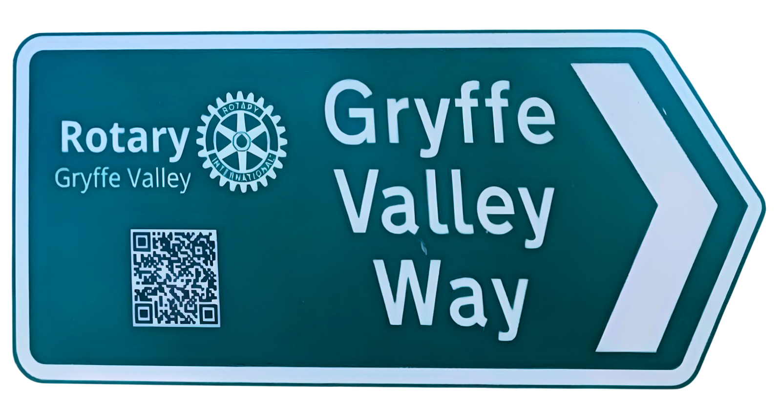
Created by Gryffe Valley Rotary and opened in 2024, the Gryffe ValleyWay invites walkers of all levels to explore a part of west-central Scotland that deserves to be better known. It is a 20-mile waymarked walking route through the Gryffe water valley in Inverclyde and Renfrewshire, within easy reach of both Glasgow and Ayrshire.
This is your guide to exploring the Gryffe ValleyWay west to east, from Loch Thom to Linwood. I have divided the route into 2 sections of approx 10 miles each, also pointing out when you can split the section.
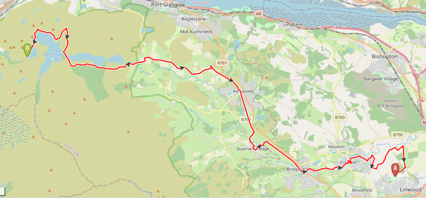
The map below gives an overview of the whole route. Interactive digital maps for each individual section are also available via the route guides below.
Click the links below to discover Gryffe Valley Way route maps, photos and turn-by-turn directions to help you plan your adventure!
Beneath the route cards, you’ll also find a Q&A about the route.
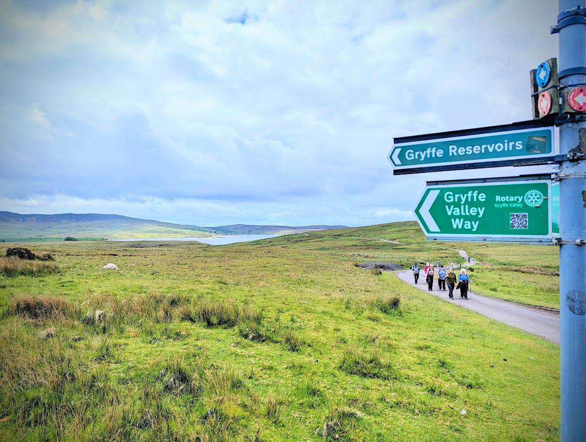
Loch Thom to Kilmacolm
10 miles
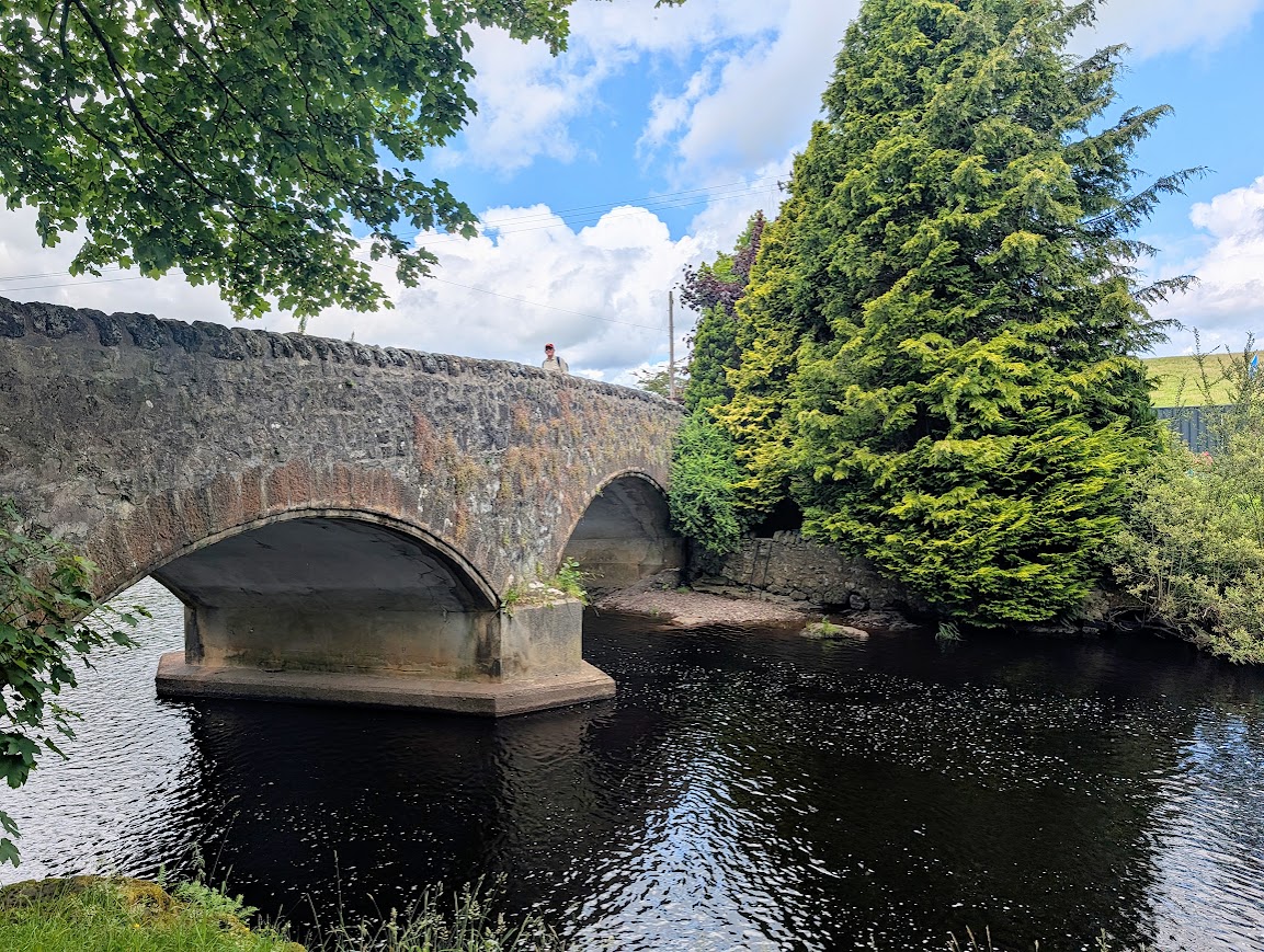
Kilmacolm to Linwood via Quarriers Village
10.5 miles / or split in two
You can also download the official Gryffe Valley Way brochure here.
Q&A
How long does it take to walk the Gryffe Valley Way?
I’d say you can complete it in anything from 1-3 days depending on what distance you want to cover each day. The whole route is 20 miles. The route guides above describe the route completed in 2 stages. Stage one Loch Thom to Kilmacolm cannot really be shortened, however stage two Kilmacolm to Linwood can be split in two by stopping at Crosslee.
What are the highlights of the Gryffe Valley Way?
The highlights of the Gryffe Valley Way lie in its remarkable variety of scenery and the sense of discovering a lesser-known corner of west-central Scotland. The route is extremely varied in terms of terrain, creating a walk that never feels repetitive. Points of interest include the historic Quarriers Village, the Mill Lade Path, the magnificent Craigends Yew tree and the reservoir system within Clyde Muirshiel Regional Park. The former railway line between Kilmacolm and Linwood also adds interest with its public art installations and industrial heritage. Throughout the walk there is a wonderful feeling of peace and space, with abundant wildlife and far-reaching countryside views, yet the trail remains within easy reach of both Glasgow and Ayrshire. More than anything, the Gryffe Valley Way is a route that encourages exploration, introducing walkers to places, landscapes and local history that many people would otherwise never discover.
Is the Gryffe Valley Way well signposted?
The way-marking along the Gryffe Valley Way is very good. I have also plotted each section out for you on a digital map, and all you need to do to access these is click the ‘download/follow’ button within the route guides above. If you aren’t sure how to use this sort of technology to follow a digital route map, have a look at my Introduction to Digital Navigation courses.
Is the Gryffe Valley Way suitable for beginners?
Overall I’d say no due to the distances involved, in particular for stage 1. The terrain varies throughout the route but none of the walk present anything particularly technical. See individual route guides for more detailed information about path surfaces etc.
Can you do the Gryffe Valley Way using public transport?
Yes! Each of my route guides above contain more detailed information about this, specific to that part of the trail.
Do you have gpx files for the Gryffe Valley Way?
Yes, I have made these available via Visorando which is the mapping company I use for all of my routes. Inside each of my route guides (above) you’ll find a button inviting you to ‘Download/follow this route on your mobile‘. If you tap that, it will re-direct you to Visorando, from where you can download the gpx file to your device.
Did you know that I teach Digital Navigation skills? Handy if you aren’t familiar which this technology!
Have other questions? Feel free to get in touch with me and I’ll do my best to help: [email protected]