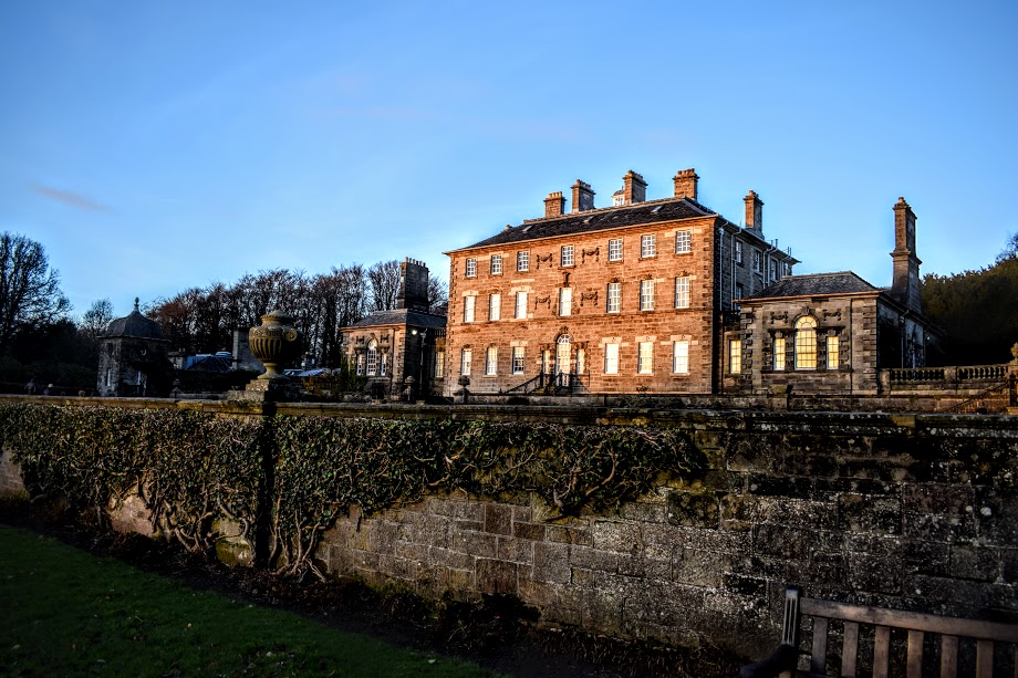
![]() Chargeable car parking at Pollok House (G43 1AT). If using public transport, I suggest joining the route at Pollokshaws Road* (see route info below), as you can reach this very easily from Pollokshaws West train station, where there is also a bus stop.
Chargeable car parking at Pollok House (G43 1AT). If using public transport, I suggest joining the route at Pollokshaws Road* (see route info below), as you can reach this very easily from Pollokshaws West train station, where there is also a bus stop.
View full route description
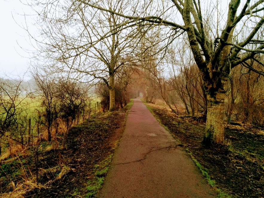
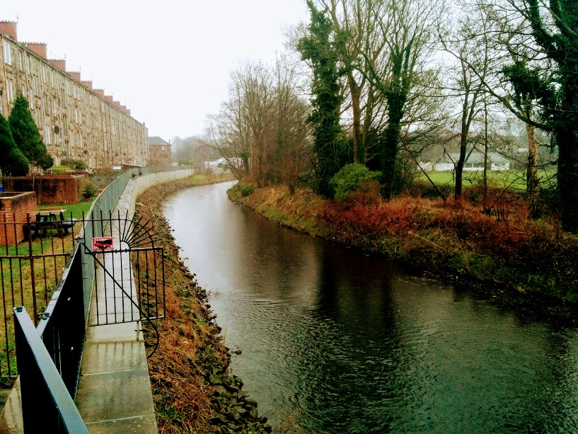
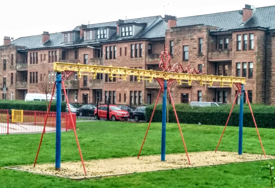
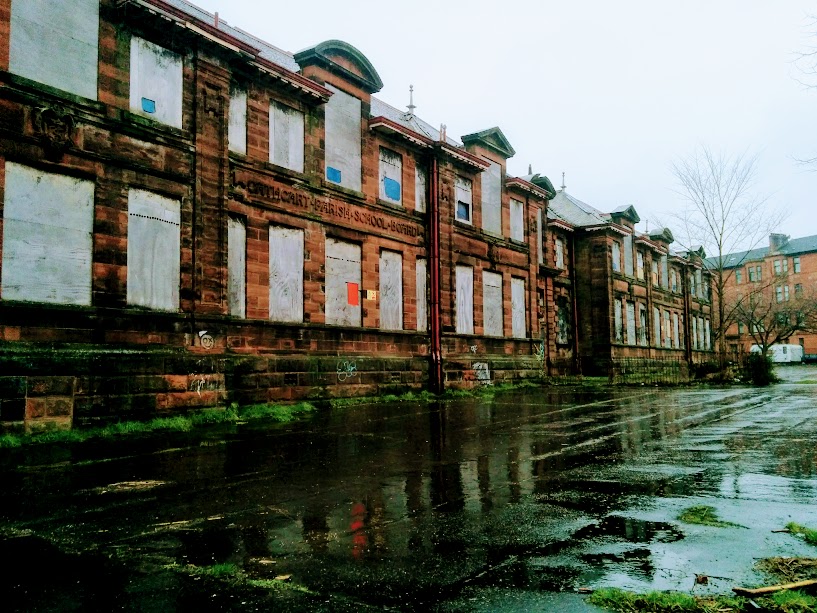
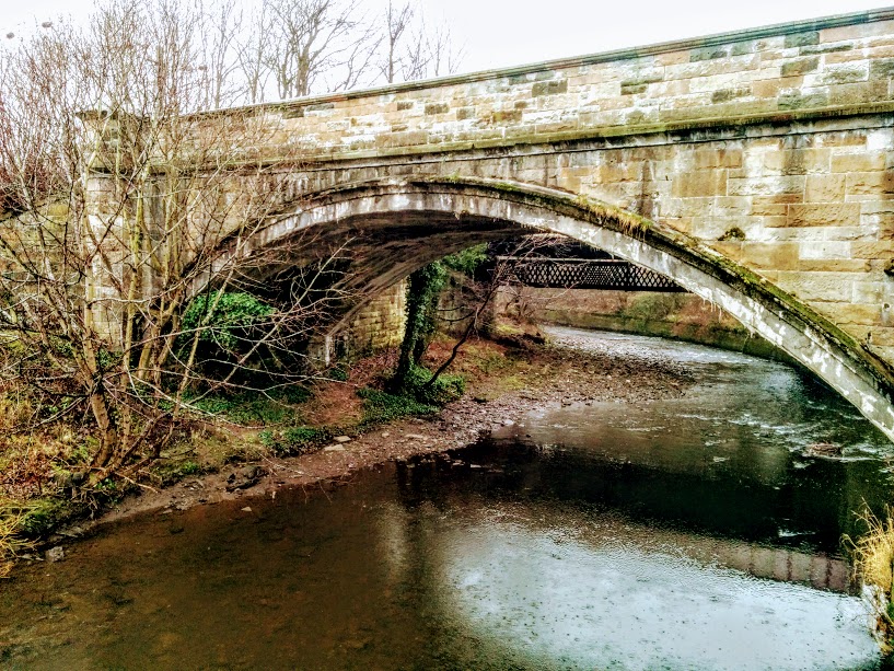
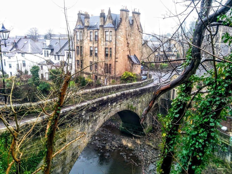
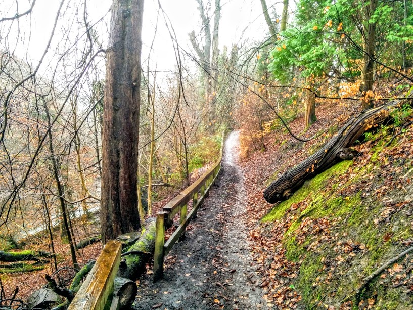
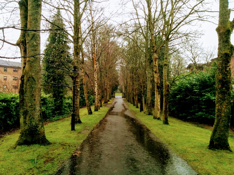
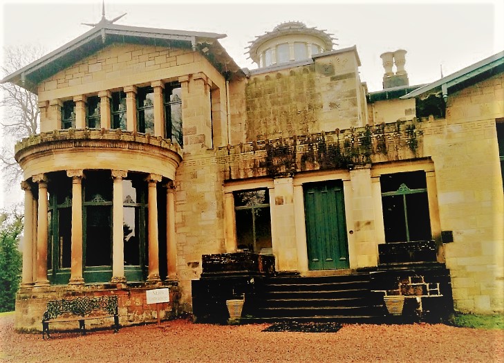
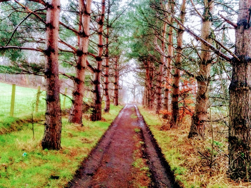
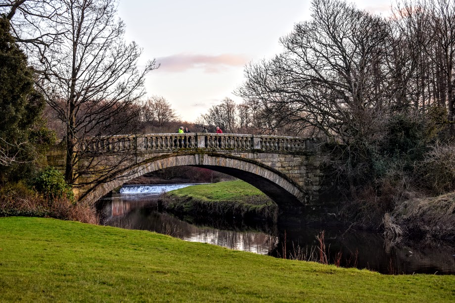
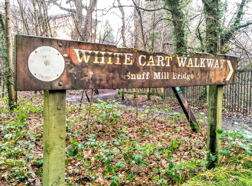
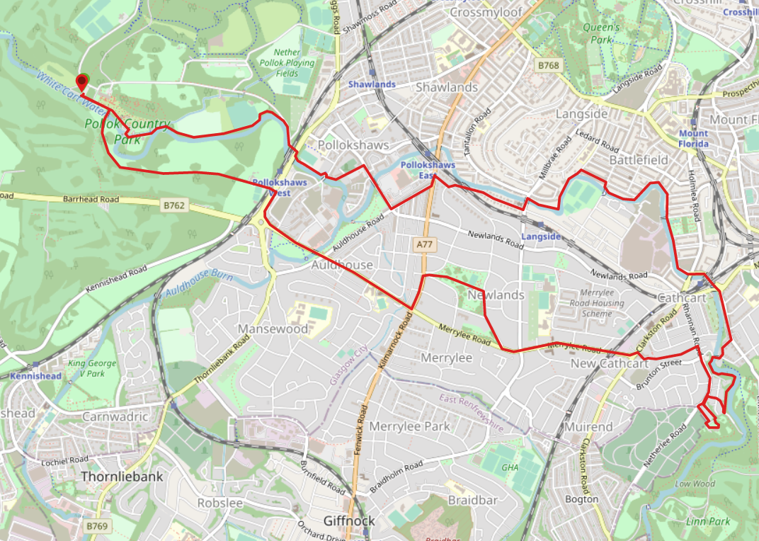
Start from the footpath running along past the front of Pollok House, with the White Cart Water on your right. Continue through the old stable yard and keep right at a fork to follow a tree-lined path along the river. Turn right onto Pollok Avenue and carefully cross Pollokshaws Road*, picking up a path which runs alongside the football pitch. Cross Shawbridge Street onto Riverbank Street and after passing Lidl turn right onto Riverford Road. You will reach a crossroads – turn left onto Auldhouse Road. At the end of the road turn left onto Kilmarnock Road, crossing over where safe, and taking the first right onto Corrour Road. After a short distance turn left onto Riverside Road and after Newlands South Church turn left onto Langside Drive. Cross over and pick up a path on your right which has a red brick wall along its length and follows the course of the river. This path emerges onto Carmichael Place. Take the first right onto Cartside Street, lined with terraced houses, and first right to head towards the river. Ignore the footbridge follow the path behind another set of terraced houses to emerge onto Cartside Quadrant, continuing to follow the bend in the river onto Spean Street. On reaching the former Holmlea Primary School (being converted into flats), cross over onto Old Castle Road. After passing beneath Cathcart Rail Station, you will come to a roundabout where you continue straight ahead to stay on Old Castle Road. After a short distance turn right onto Snuff Mill Road and cross the attractive stone Old Snuff Bridge. Follow the (sometimes muddy) footpath on your left uphill through the trees. You are now on the outskirts of Linn Park. This path follows the course of the White Cart Water. Turn right when you reach Millholm Road then left onto Netherlee Road. On your left you’ll soon come to a tree-lined lane, leading to Holmwood House, and the end of the White Cart Walkway.
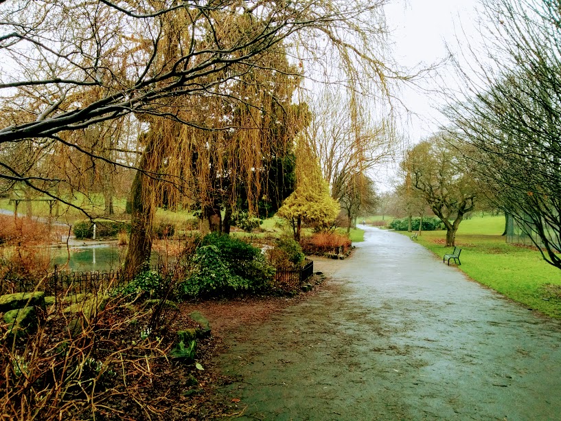
SUGGESTED RETURN ROUTE: Leave the grounds of Holmwood House onto Netherlee Place. At the crossroads turn right onto Netherlee Road and third left onto Craig Road. A the end of Craig Road you will emerge onto B767/Clarkston Road. Cross with care and continue straight ahead onto B762/Merrylee Road. After approximately half a mile turn right onto Lubnaig Road. Continue straight at the fork and then turn left to enter Newlands Park. This footpath cuts directly across the park and out onto A77/Kilmarnock Road at the other side. Turn left onto Kilmarnock Road then right onto Nether Auldhouse Road. Follow this busy residential street just over half a mile along to the roundabout at B769/Pollokshaws Road. Turn right and at the end of Shawhorn Crescent cross Pollokshaws Road and pass through the railway bridge to leave the busy road behind. This (usually muddy) track takes you along the edge of Pollok Golf Course and emerges in front of Pollok House via a stone bridge across the White Cart Water. After crossing the bridge turn left to return to the car park.
WALK REVIEW: 28th January 2017
I only found out about The White Cart Way a few weeks ago whilst writing my walk review for Pollok Country Park. I don’t normally opt for urban walks but as this one follows the White Cart River on part of it’s journey between Eaglesham and The Clyde, I figured it could be worth a bash.
My friend and I met at Pollok House at 9am to avoid the start of the weekly park run. It was a cold and wet morning with heavy rain forecast. Not ideal, but as we had planned the date a few weeks ago we decided to stick with it.
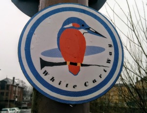
I had walked the first section through Pollok Park before but after that I was very much in unknown territory. I was glad to have uploaded a map of the route to my mobile because despite it being well signposted we still managed to go wrong a few times. For the most part it was possible to simply follow the Kingfisher signs but in some places there were actually too many of them which got confusing. I believe there were two reasons for this: 1) both the outbound and return routes are waymarked which means you sometimes have signs pointing in opposing directions, and 2) there is a choice of routes at one stage and signage for all the options. Either that or I am even more terrible at navigating than I thought and can’t even follow simple signs 😮