![]() Car parking available at Place Camous in L’Escarène (93-95 Allée de Verdun, 06440 Escarène). Local bus service stops on D2204 /Rue du Chateau in L’Escarène close to walk start point which is at the mini roundabout where the D2204 joins with the D21. L’Escarène train station is a 10 minute walk from the start point.
Car parking available at Place Camous in L’Escarène (93-95 Allée de Verdun, 06440 Escarène). Local bus service stops on D2204 /Rue du Chateau in L’Escarène close to walk start point which is at the mini roundabout where the D2204 joins with the D21. L’Escarène train station is a 10 minute walk from the start point.
View full route description
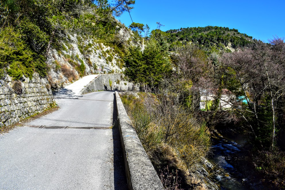
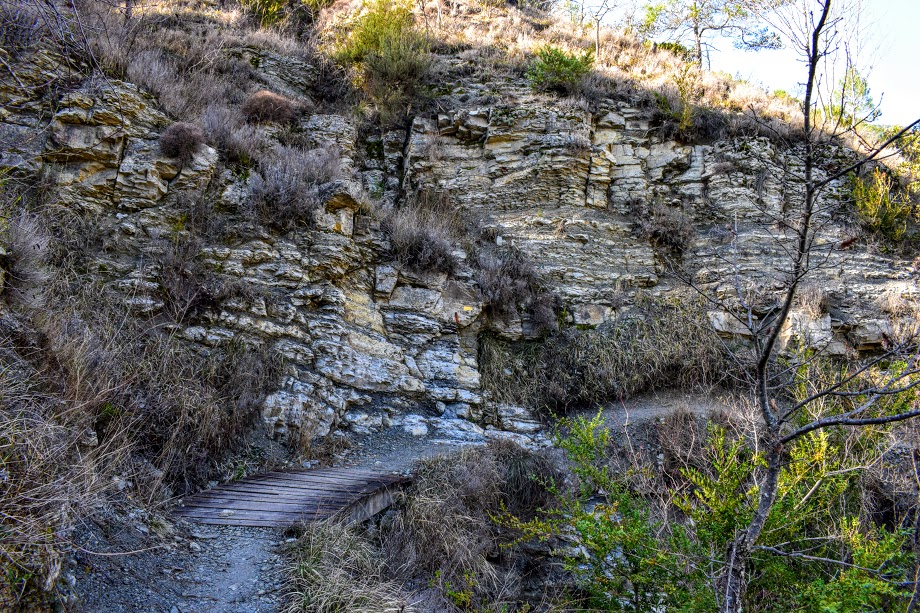
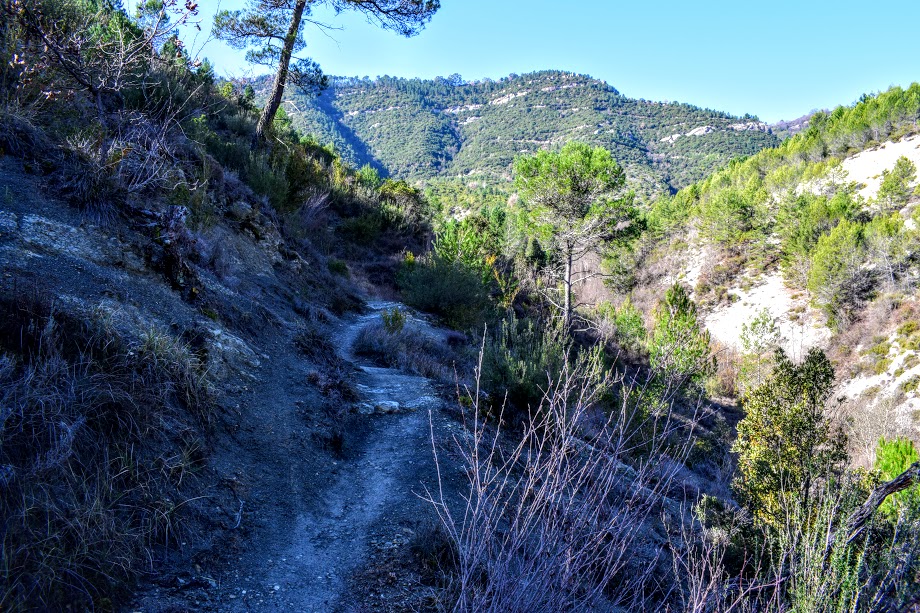
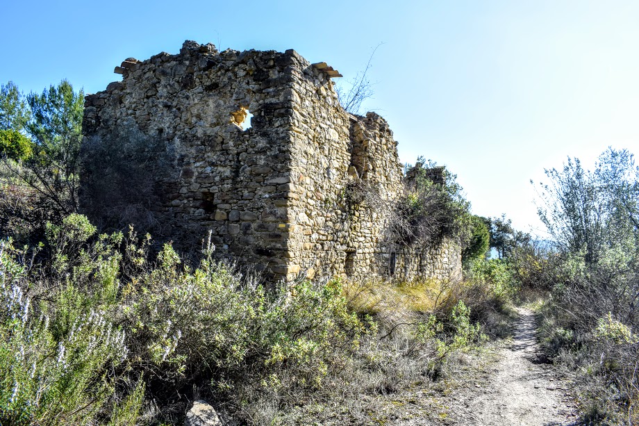
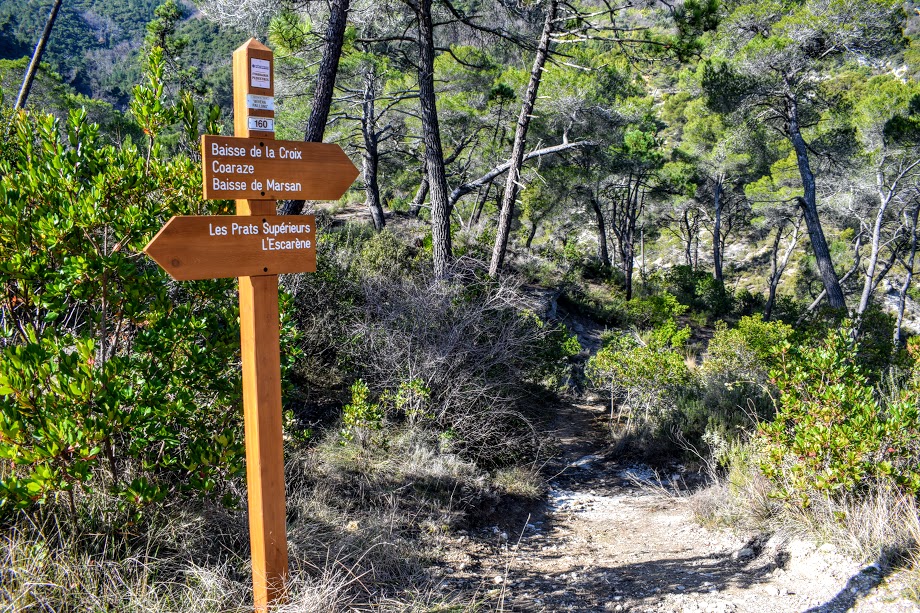
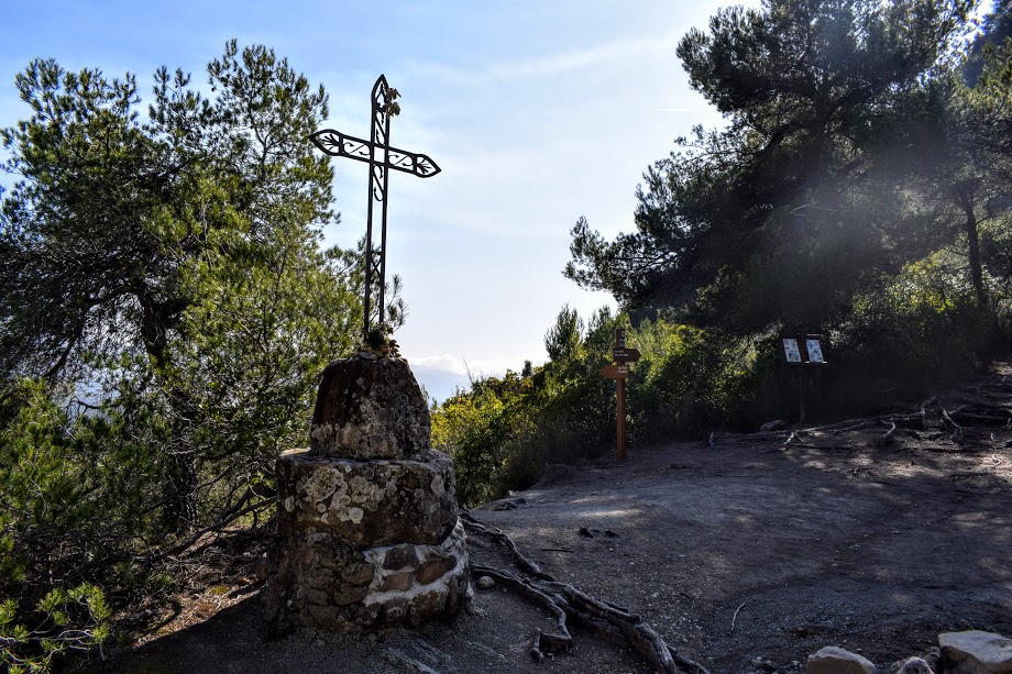
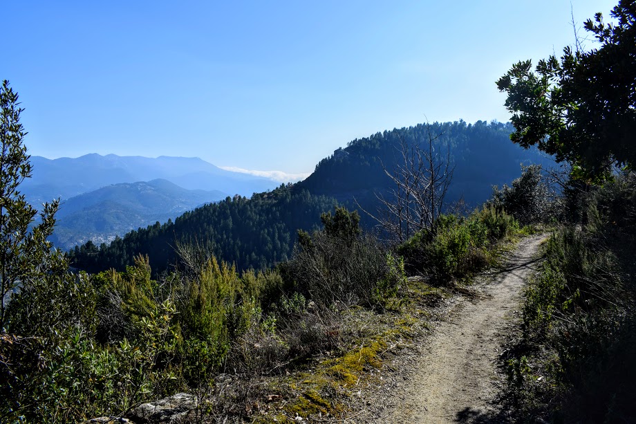
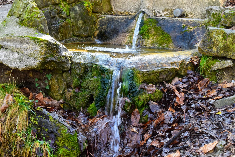
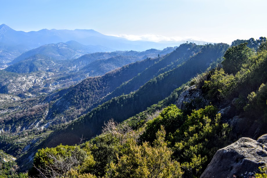
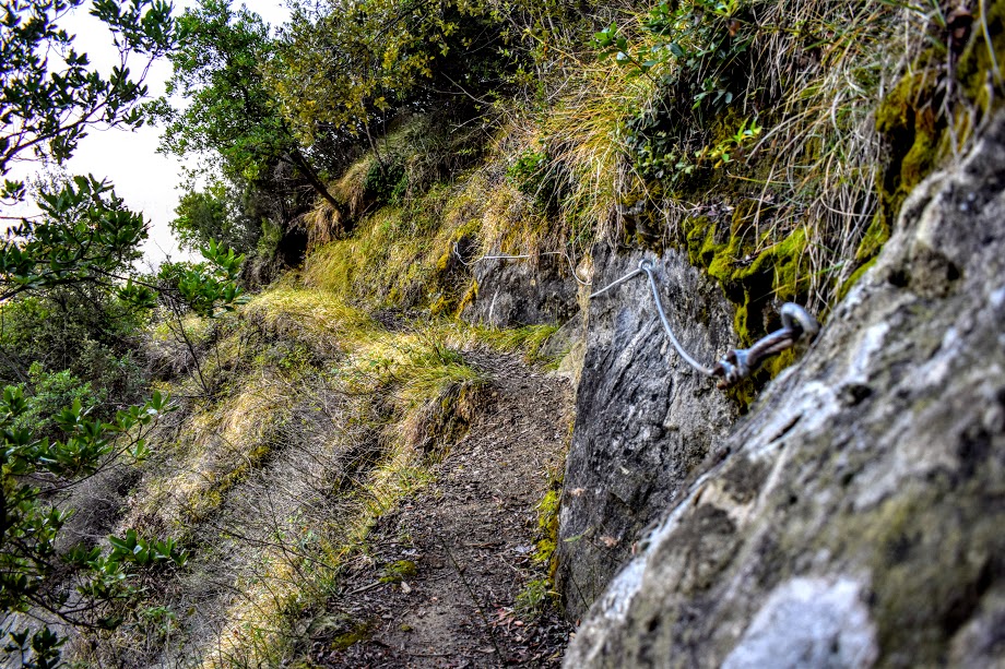
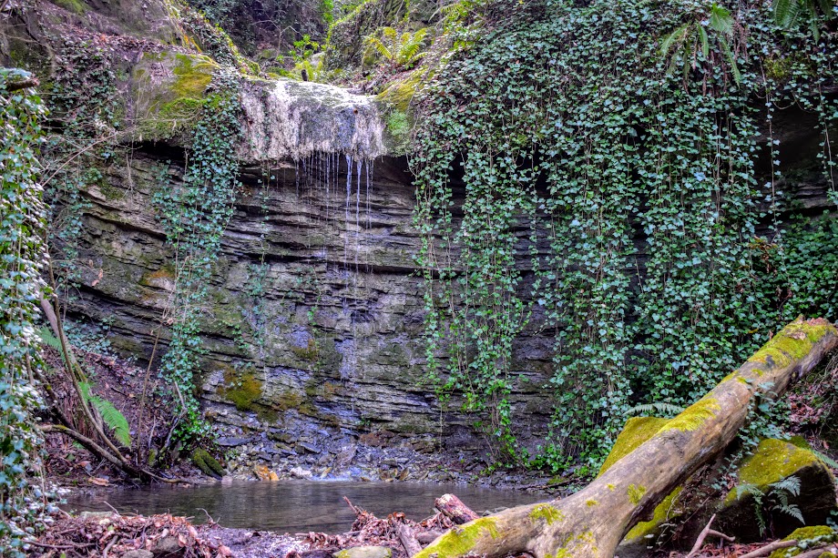
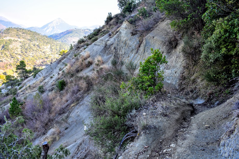
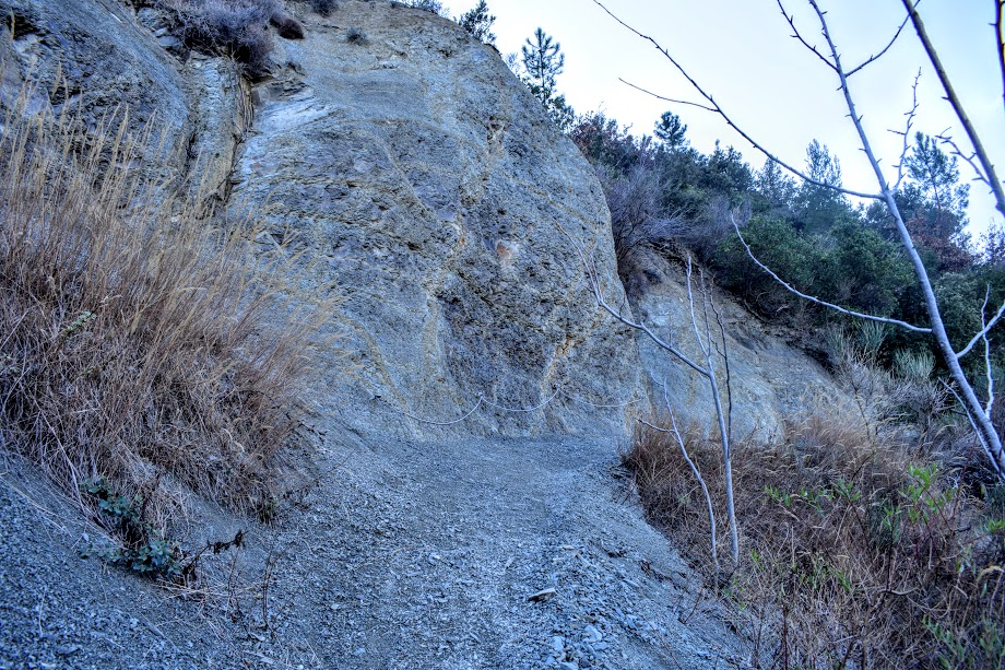
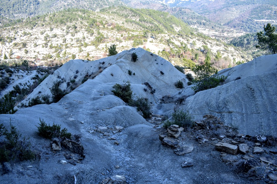
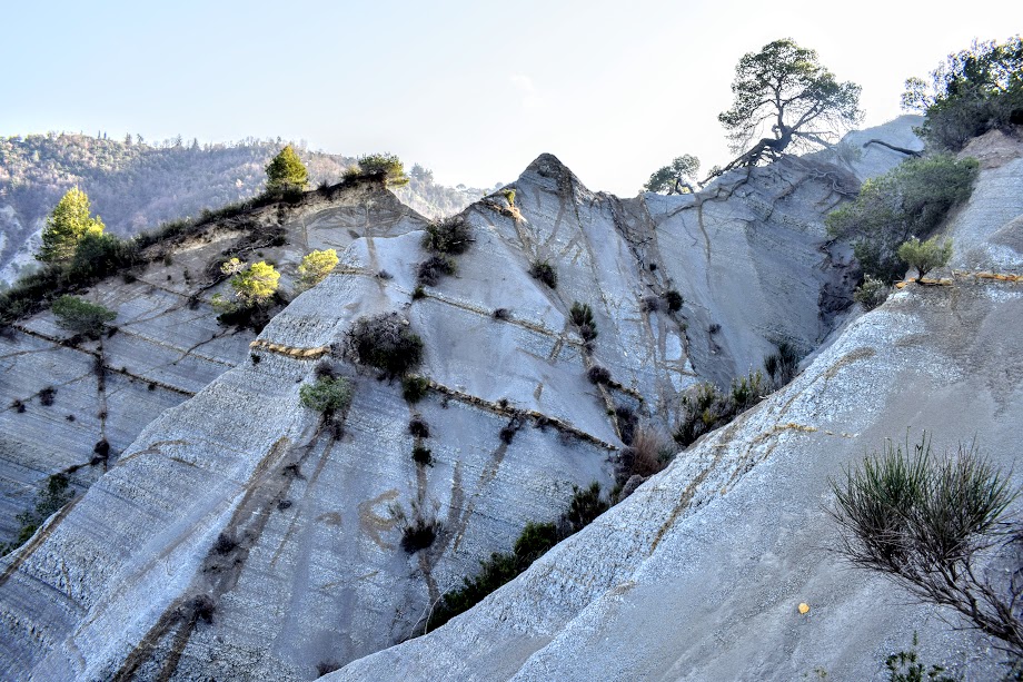
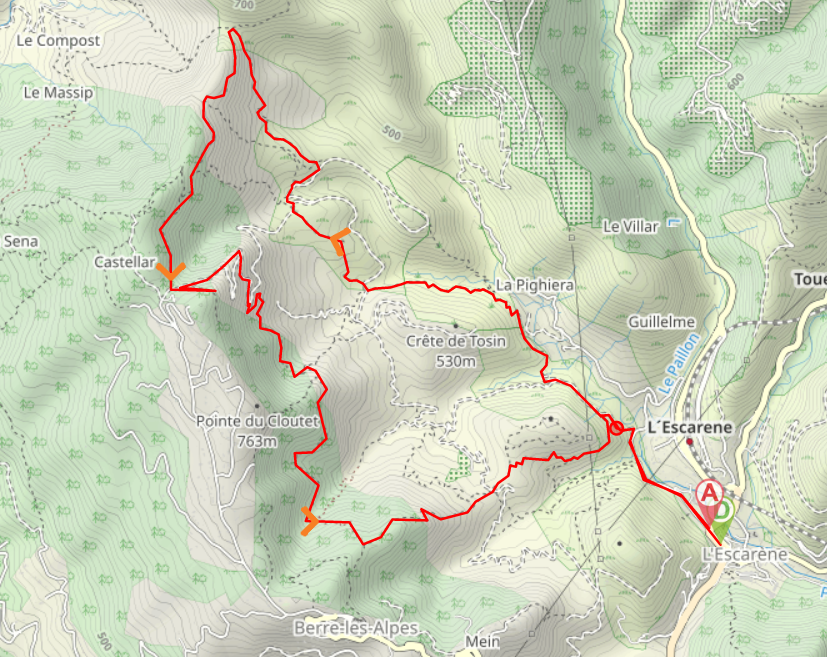
EN FRANÇAIS // From the mini roundabout on D2204/Rue to Chateau, take the exit leading on to Allée de Verdun. This street soon becomes Route de Pighiera. After a short distance come off Route de Pighiera and follow a wide concrete track uphill to the left. The track initially runs parallel to Route de Pighiera before bending to the left. After 250m at the fork take the track leading downhill to the right. You will begin to notice yellow way markers painted onto various surfaces: these will remain with you for the entire walk. Look out for a much narrower footpath on the left at a tall wooden way marker (Baisse de la Crox, Coaraze, Baisse de Marsan) and follow it down to cross a small burn. The path then heads uphill through woodland and open hillside, sometimes with steep drops to the right hand side. At the end of the path turn right onto a gravel road and after only 50m (before the road bends right) look for a narrow footpath straight ahead along the river bed (which might be dry!) Follow the path uphill though the trees, across some smooth rocky ground, and past a ruined building to emerge onto another gravel road. Turn right then immediately left at the tall wooden way marker. After following this footpath a short distance you will emerge back onto the gravel road which you should now follow left uphill. After approx 50m look out for a discreet fork to the left – there is a yellow marker painted on a tree beside it. After passing through some trees you will come to an area of open ground on your left. Come off the track here and cut across towards an information board which you will see in the distance. Turn left at the information board and continue uphill through more forestry and across open hillside on some interesting crumbling rocky ground which drops off at a steep angle to your right. At the top of the hill you will arrive at the Baisse de la Croix – a crossroads. Looking to your right you will see an iron cross built atop a stone cairn, however you will turn left past an information board onto a wide footpath littered with tree roots. The next section of the walk is along high ground with spectacular views. You will pass several enormous boulders along the way. Continue along this path until you reach a small fountain. Turn left here down a concrete footpath. On the right you will soon come to a sign marked ‘Point de Vue‘. This is an optional short de-tour up to a fantastic viewpoint at some picnic benches. From the viewpoint retrace your steps back to the concrete footpath and turn right to continue along it. It soon turns to a wide gravel track which zigzags it’s way down the hillside. There are a couple of points where you can take a short cut down through the trees rather than zigzag your way down however to be honest I found them to be much harder going and not worthwhile considering the small distance they cut off the walk. If you do want to take them look out for the yellow markings on the trees and follow those. Otherwise continue down the gravel track and after the third zigzag take the signposted earth footpath on the right (Capella, Berre-Les-Alpes, L’Escarène). Continue downhill following the yellow painted markings at all forks. You will pass another ruined building and several streams (most of which were dry during my visit). Eventually the path leads to a crossroads. Turn left following the sign for Les Prats Supérieurs/L’Escarène. The next section requires care – the path begins to descend steeply down some crumbling grey rocks (marl) which I can only compare to the scree sometimes found on the Scottish hills. At the bottom you will emerge onto a track which you cross straight over, following the way marker in the direction of Les Prats Supérieurs/L’Escarène. Keep right at a fork to follow the hillside trail which leads you down onto the wide gravel track which you walked along at the start. Turn right here and retrace your steps into the village of L’Escarène.
WALK REVIEW: 16th February 2017
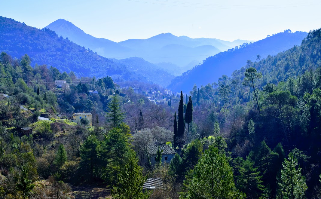
It is very rare that I get the chance to go a whole day hiking with my husband but whilst holidaying with family in the south of France we had the opportunity to do so and what a brilliant day we had! Generally when we visit Nice we don’t venture much further than the old town and the promenade and so it was really refreshing to gain an insight into life in one of the small surrounding villages and to explore the hills in the area.
The 40 minute coach journey (complete with music!) from Nice to L’Escarène cost only 1.50 Euro which I continue to be amazed by! Public transport is so affordable that it makes driving seem senseless. I had found the route beforehand on the French site Visorando and had prepared a map on my own mobile mapping app so that we wouldn’t get lost. After a few days of overcast we were fortunate to fall on a lovely sunny day and perfect hiking temperatures of around 12°C.
