![]() Car parking available at Greenock Cut Visitor Centre (PA16 9LX). No public transport to start point.
Car parking available at Greenock Cut Visitor Centre (PA16 9LX). No public transport to start point.
View full route description
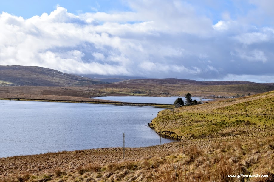
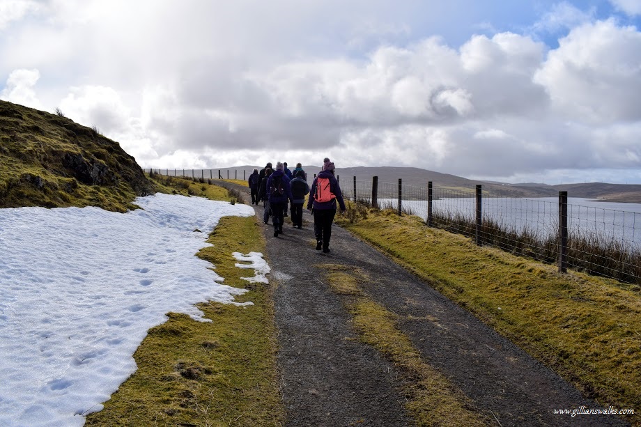
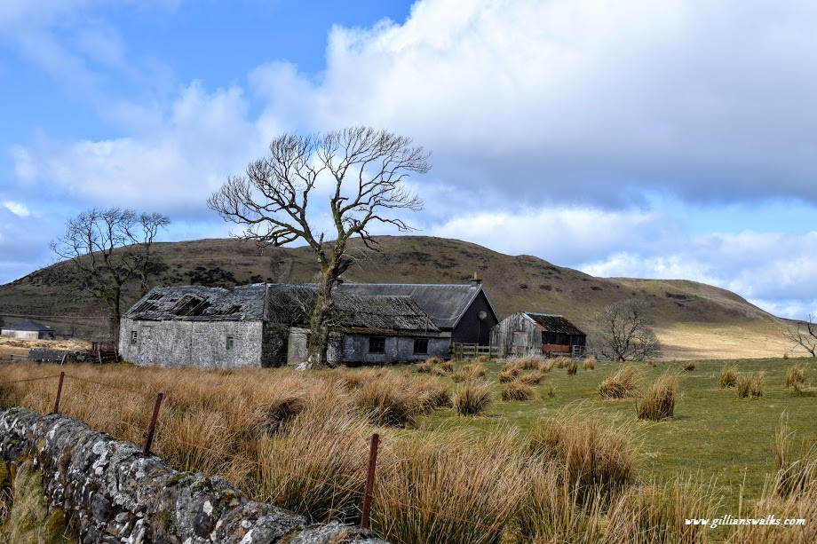
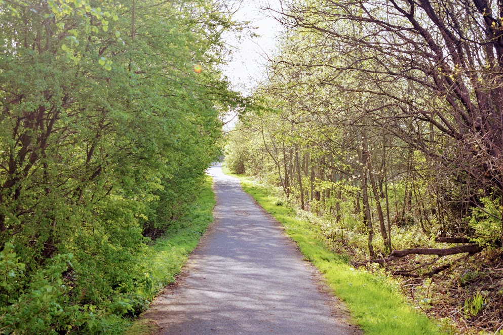
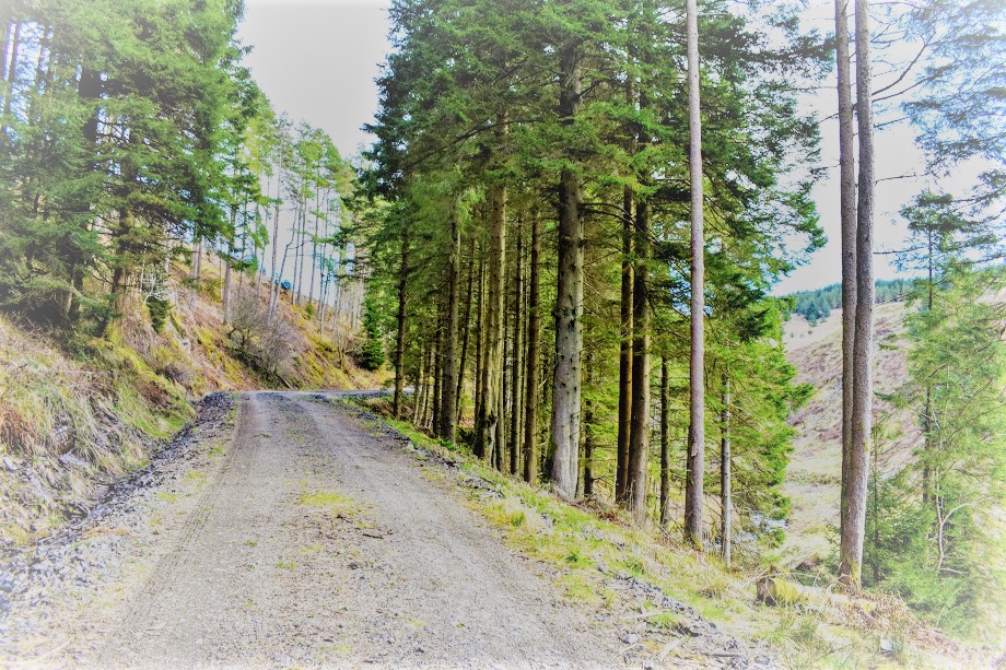
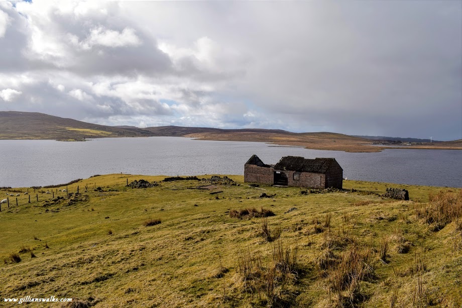
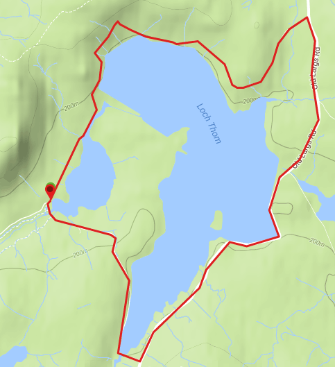
From the Greenock Cut Visitor Centre head NE to pass the cafe and follow the road alongside the Compensation Reservoir then uphill to the head of Loch Thom. Just when the road starts to leave the loch behind, look out for a gravel footpath on your right (signposted Old Largs Road) which heads downhill to the lochside. After passing through a gate you will emerge onto a minor road, briefly heading away from Loch Thom to meet up with Old Largs Road. Turn right and follow this road all the way down the eastern side of the loch. Shortly after passing the ruins of Garvock Farm (NB this was used as a film set in the TV series ‘Shetland’!) turn right to cross the bridge and continue along the road to reach the Visitor Centre.
WALK REPORT: 25TH MARCH 2018
Despite being Scotland’s largest Regional Park, Clyde Muirshiel is little-known and underrated in my opinion. With endless walking opportunities on offer, I am glad that the Rangers are trying to promote the area through these monthly events. Be sure to check when the next led walks are and sign up, they are free of charge and I have always found the Rangers to be extremely knowledgeable about the area, passionate about what he does and eager to share this with everyone who will listen 🙂
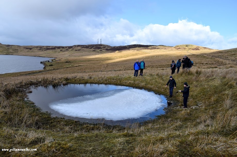
This route turned out to be pretty easy going, with most of the walk being on paved surfaces. We made a short de-tour to search for a WWII bomb crater, visible on satellite images of the area. This involved leaving the safety and security of our road to head uphill over soggy moorland and across a fence! Despite the de-tour being optional, everyone in the group got involved. With use of GPS we found it in no time and wow, was it big! There were some kids in the group who were making me nervous being so close to the edge of the waterlogged bottomless pit. The centre of it was still frozen as a result of the recent ‘Beast From the East’ but around the edges, although appearing stable enough, was saturated moss which my feet immediately sank right into. I’d love to see what it looks like empty! Although at the same time I dread to think what lies beneath the water, especially considering the sheep carcass we found shortly after!