![]() Dog-friendly walk
Dog-friendly walk
![]() The route starts from Fyrish Jubilee Car Park , just off the B9176 Struie Road. No public transport to walk start point. Closest train station is in Alness, 4.8 km away.
The route starts from Fyrish Jubilee Car Park , just off the B9176 Struie Road. No public transport to walk start point. Closest train station is in Alness, 4.8 km away.
View Full Route Description
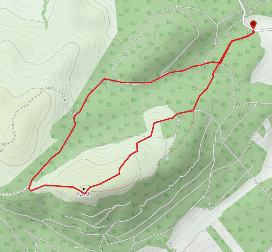
From Fyrish Jubilee Car Park, follow the Fyrish Jubilee Path – signposted from the South East corner of the parking area. Continue ahead (South West) at a crossroads 550m along. After a further 150m cross a small burn. 500m further along, at another crossroads, turn right (West) to come off the Jubilee Path. Ignore a path on the left after 240m. Continue South West. Soon the trail leaves the forest behind and emerges onto open hillside, gradually winding uphill to reveal Fyrish Monument. From the monument the descent path heads North West. It is a wide loose gravel trail and quite hard going at times. On arriving at an area of forestry the path forks. Turn right (North) onto a much narrower and boggier trail through the trees. Continue on this path for 3km to a crossroads, keeping right at 4 forks along the way. At the crossroads turn left (North) – you are now back on the Jubilee Path. The Fyrish Jubilee Car Park is only 550m down the track.
WALK REPORT: 31ST JULY 2020
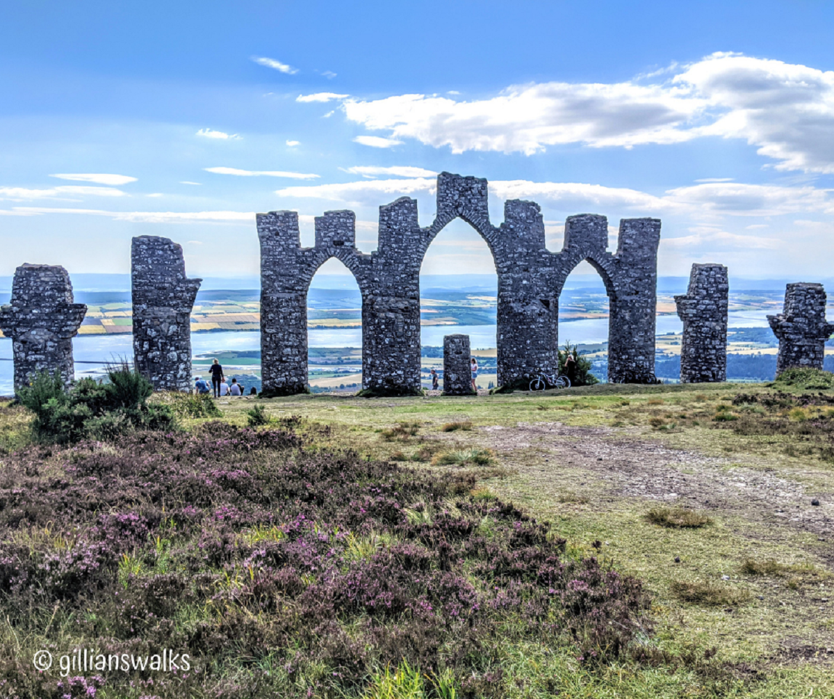
It was that in-between bit of lockdown when everything started to open up again, including travel, and we thought we were on the home straight. Not so, but I for one was innocently naive at that point and trotted off to visit friends in the north east of Scotland. The walk up to Fyrish monument came recommended, and when visiting an unfamiliar area, there is no better way to choose your days out than asking the locals! My friends explained that the gated archway was built by local men during the period of the Highland Clearances. The work had been commissioned by Sir Hector Munro who wanted to build a replica of the Gates of Negapatam in India. It provided work at a time of high unemployment and the story goes that Sir Hector was known to roll stone back down the hill so that the men would have to carry it back up again, extending the amount of work available. You can read more about the Fyrish Monument here.
The hottest day of the year so far meant I was not alone in the car park and as I negotiated my way into a space people around me were slathering on their factor 50 lotions. I tend to prefer walks which aren’t tourist attractions so had been slightly nervous this one might turn out to be busy. As a precaution I had mapped out a route which came off the Jubilee Path early on and would take me to the summit via a track running almost parallel to the main tourist one but a little higher on the ridge. It then looped down the other side forming a circular. With no idea what that would turn out to be like, I set off.
Everything went exactly as I’d hoped and I was soon enjoying my own company amongst the purple heather…. Apart from the couple who had decided to try pushing a pram up! The trails were bone dry thanks to the recent spell of warm weather and I was snap-happy enjoying the scenery.
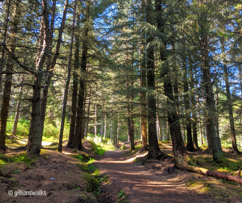
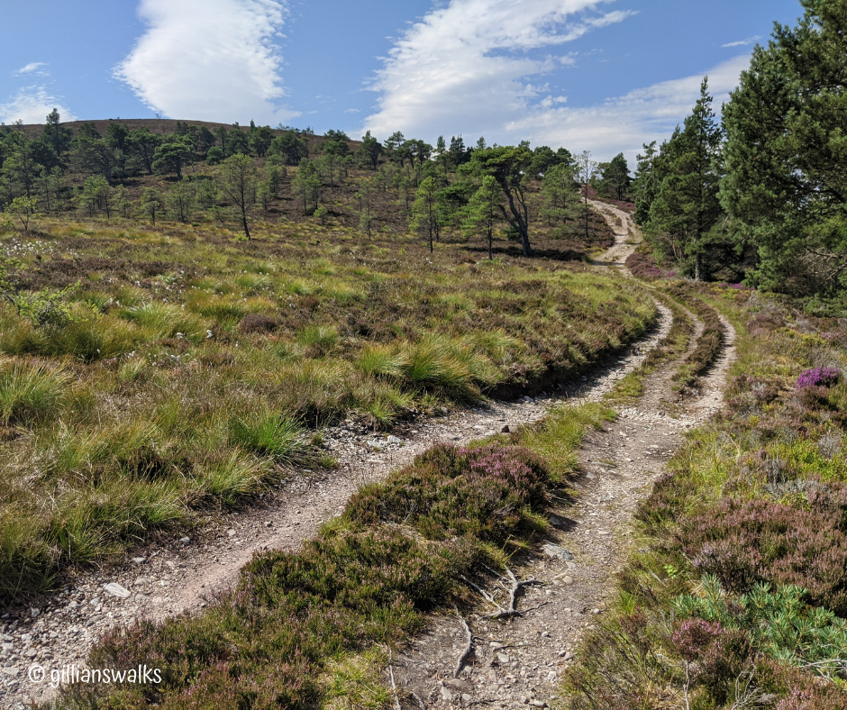
The monument itself seemed to appear out of nowhere arriving from this angle and it was already busy with people picnicking at its base. I could see that someone had even cycled up! Rather them than me. Although it would make the trip back down a lot faster! Everyone seemed to be sitting in front of the monument, as though using it to rest their backs on. Clearly they were admiring the view as they dined, but I was here to see the monument itself as much as the view so found a quiet spot further back so that I could see both at the same time. I didn’t hang about for long, but long enough to ponder the story of how it came to be here and the lives of the men who built it.
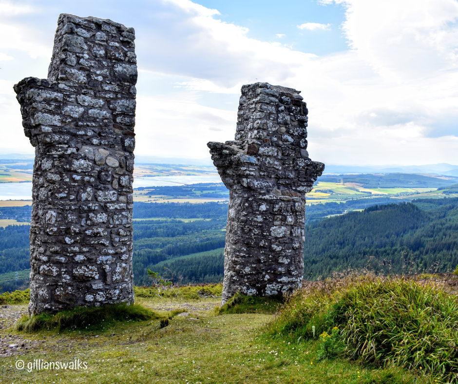
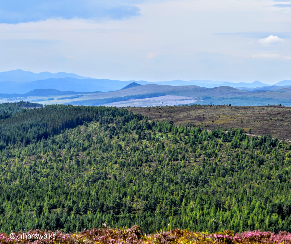
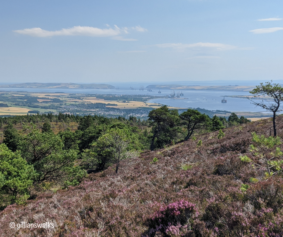
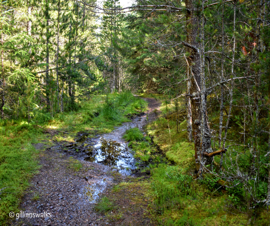
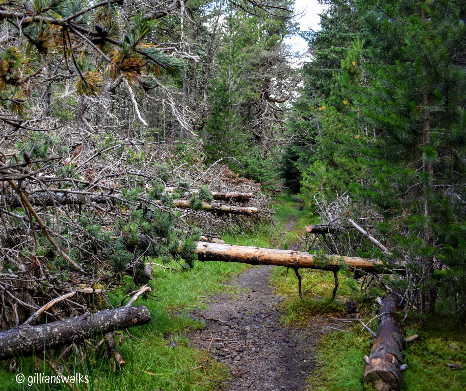
Pausing to watch as a lizard scurried out from beside a stone at my feet, I took the path heading west from the monument. The view across to the mountains was superb and I used my Peak Finder app to learn what I was looking at. Being the highest mountain in the area, the isolated Munro Ben Wyvis (meaning Hill of Terror!) looked mighty and despite the sweltering temperature today, there was still a patch of snow visible on it’s face. With perfect visibility, I could see my path clearly ahead: downhill and then to the right into an area of forestry. The path through the trees was much boggier than I’d been used to so far on this trail, so there was some concentration needed. There were also quite a few fallen trees to keep things interesting. It was a pleasant route and I had it to myself – just as hoped 🙂
You can of course easily climb to the Fyrish monument and back to the car park via the Jubilee Path and if you choose to do that your walk would be approx 4 miles in total. There are also loads of trails in the trees which could be explored if you wanted a bit of an adventure on foot or mountain bike.

