The Trails are best experienced using the fantastic Ayr Through the Ages app, in fact I would go as far as to recommend not doing them without it! The app not only loads up an interactive map which allows you to follow the correct route, but along the way you can also click on any of the 31 pinned locations to reveal fascinating historical information relevant to that point on the map, as well as hear excerpts from the Tam o’ Shanter poem being recited.
 Route Options:
(I have intentionally not included turn-by-turn directions for all of these, because that is included on the Ayr Through The Ages App)
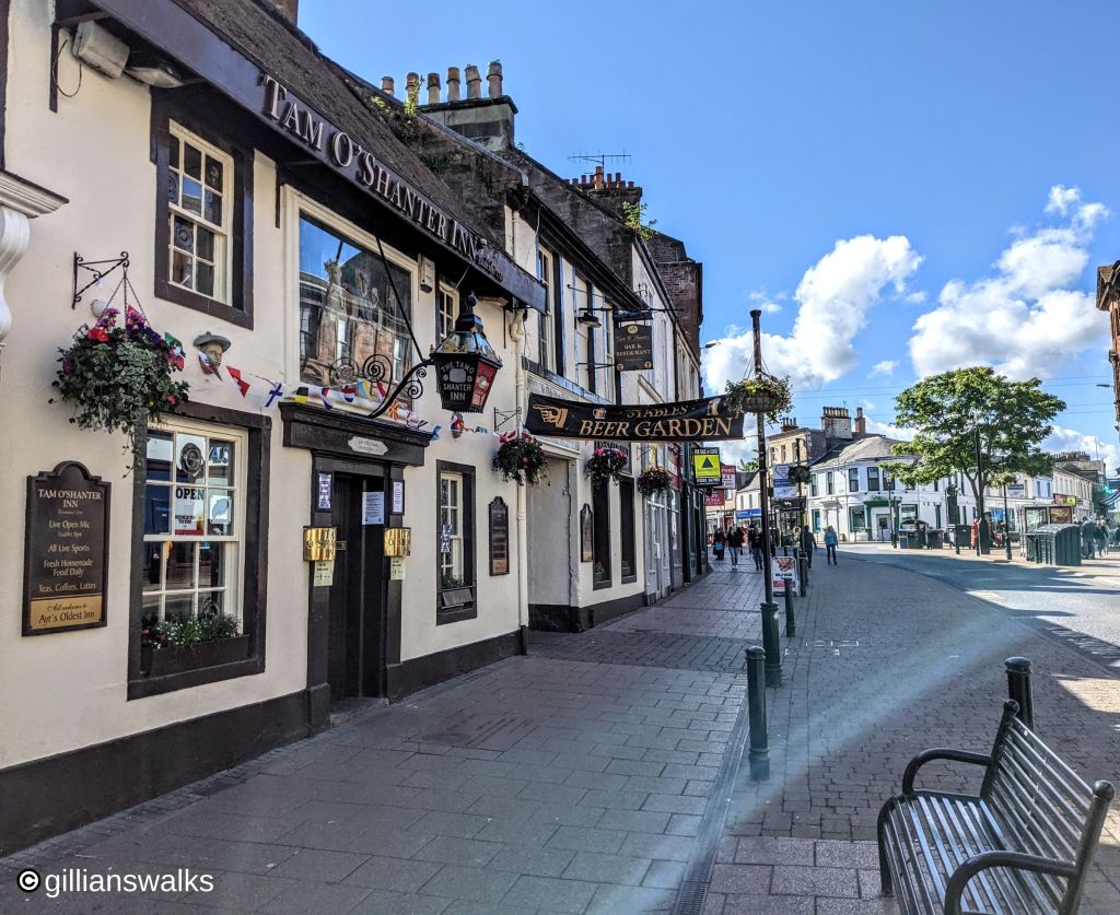
Tam’s Trail – 3 miles – starts at Tam o’ Shanter Inn, Ayr High Street and ends at Brig o’ Doon, Alloway.
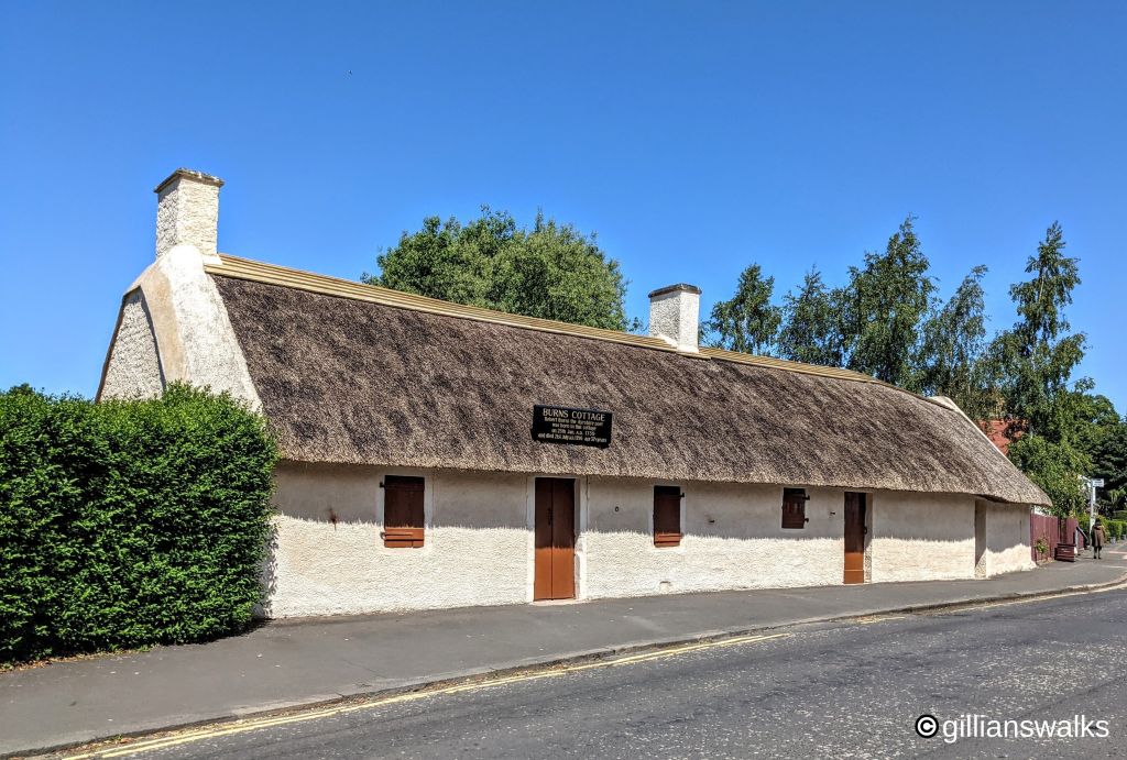
Alloway Trail – 1.5 miles – starts at Robert Burns Birthplace Museum, Alloway and ends at Belleisle golf course.
Blue Bonnet Trails – Combine the above to find all of the Blue Bonnets – 4.5 miles
Create a loop – Completing the blue bonnet trails does not quite form a loop back to Ayr, and there are various ways to do this depending on your energy levels. One option is of course to use public transport. If you would like to walk then I can suggest the following, the last of these being the route I chose when I did it and the one I have provided a map for:
- Straight back to Ayr along the main road: at location 31 on the app, walk back out to location 30 at Monument Road and turn left to return to Ayr (6.3 miles). You could equally miss out location 31 and head right along Monument Road once you come out of Rozelle (6 miles).
- More scenic but slightly longer route back to Ayr via Belleisle, the Old Racecourse and Seafield: at location 31 on the app, turn right to pass the cafe and clubhouse and continue across Belleisle golf course to pick up the trail from location 8. Retrace your steps from here back to Ayr Town Centre (6.5 miles).
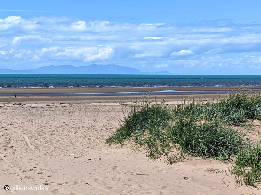
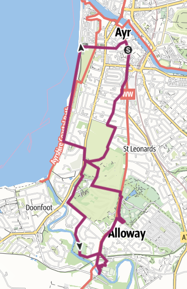
- Return via Ayr Beach promenade (longest option – see map below and download link above): at location 31 on the app, turn right to pass the cafe and clubhouse and continue across Belleisle golf course to return to locations 8 then 9 and head out onto A719/Doonfoot Road. Cross over then turn right and walk along the pavement a short distance. Take any of the roads on your left to reach Ayr promenade. At the Low Green turn right towards the town centre on Pavilion Road, cross at the traffic lights towards the Mercure Hotel. Turn left in front of the hotel, onto Carrick Street. Continuing straight along this street takes you onto to Ayr High Street (7 miles).
WALK REVIEW – JUNE 2021
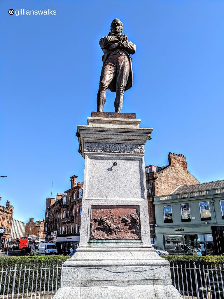
I have to come clean and admit that I read the Burns poem Tam o’ Shanter for the first time just minutes before getting out the car in Ayr and prior to that I didn’t really have much of an idea what it was about. And when I say I read the poem, I mean that I read the translation of the poem. A very handy side-by-side translation can be found here for anyone else who might reading this and thinking that they too should perhaps give it a read. In fact I consider that a little bit of familiarisation with the poem should be a pre-requisite for walking any of these trails; having some insight added an incredible amount to my enjoyment of the experience.
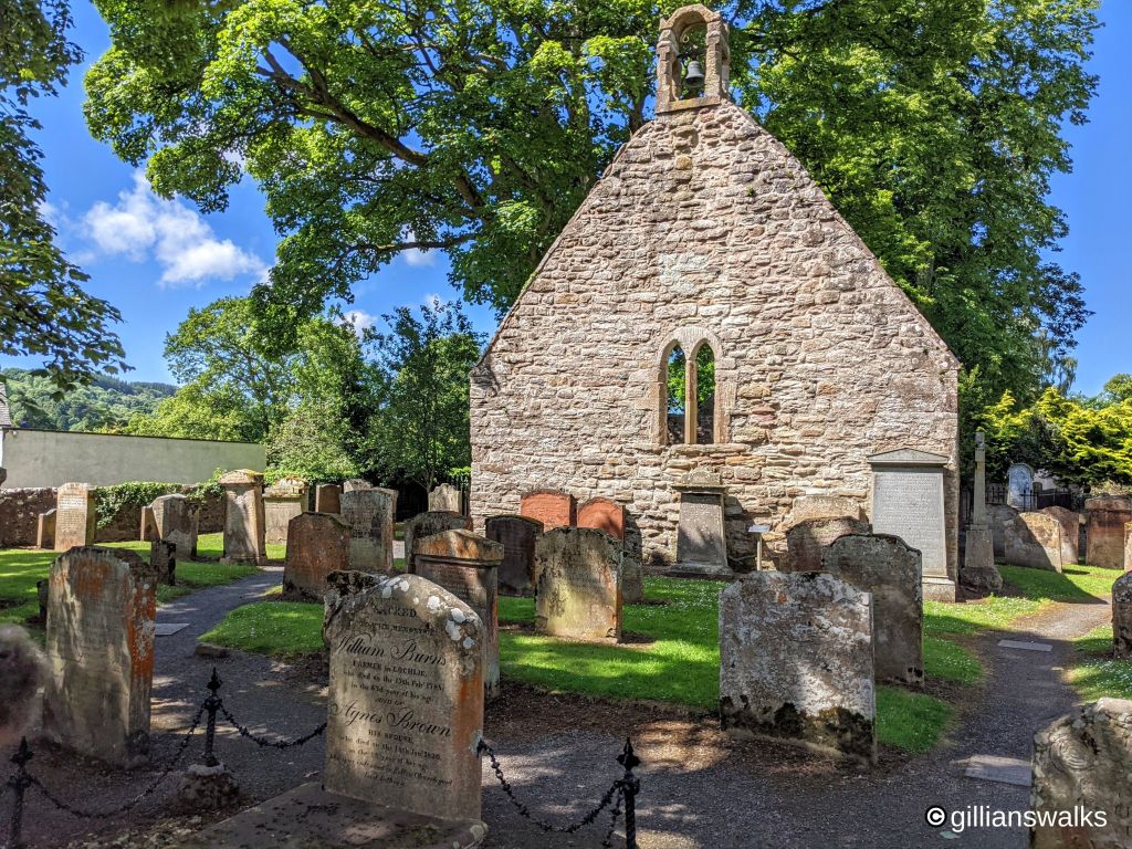
Another thing that added to the experience was using the Ayr Through the Ages app! I was really impressed with how easy it was to follow the route on the interactive map and especially liked that it synced with my phone’s GPS signal to show my location as a blue dot on the map all the way round. Getting lost was not an option! As I progressed along the trail, I could click on any of the 31 pins on the map and open up additional content: for example sometimes it told me some historical information about the building I was standing in front of, what part of the Tam o’ Shanter poem was relevant there, and/or what to look out for next on the trail. Very educational! I am terrible for going on a walk, seeing some points of interest and only researching them once home. This allowed me to really easily find out everything I would have wanted to know about where I was at that exact moment. Well done South Ayrshire Council for developing such a good resource.
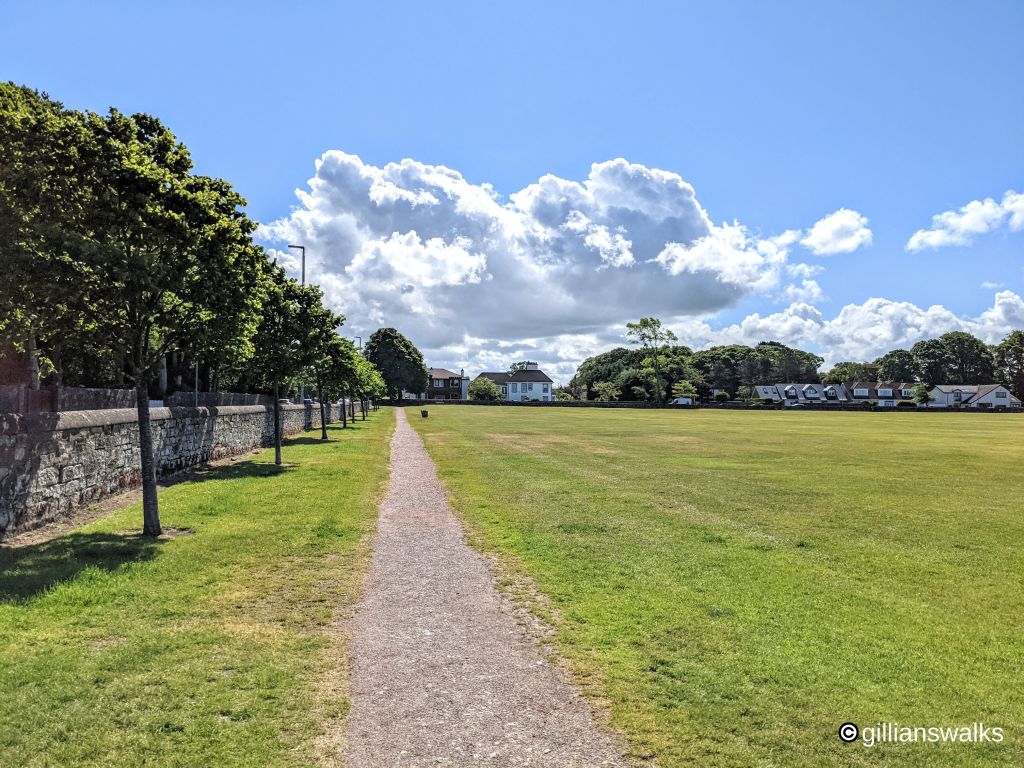
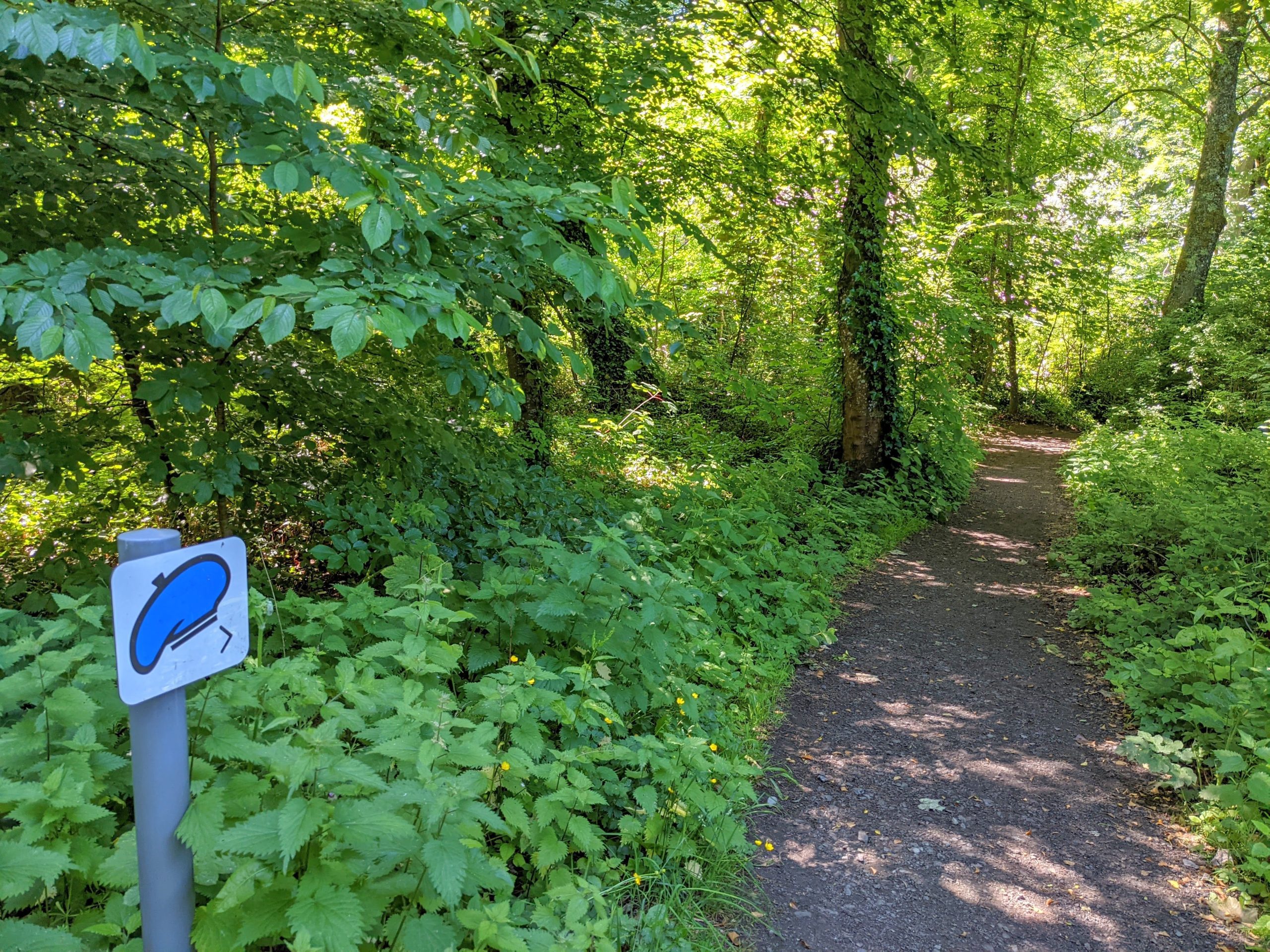
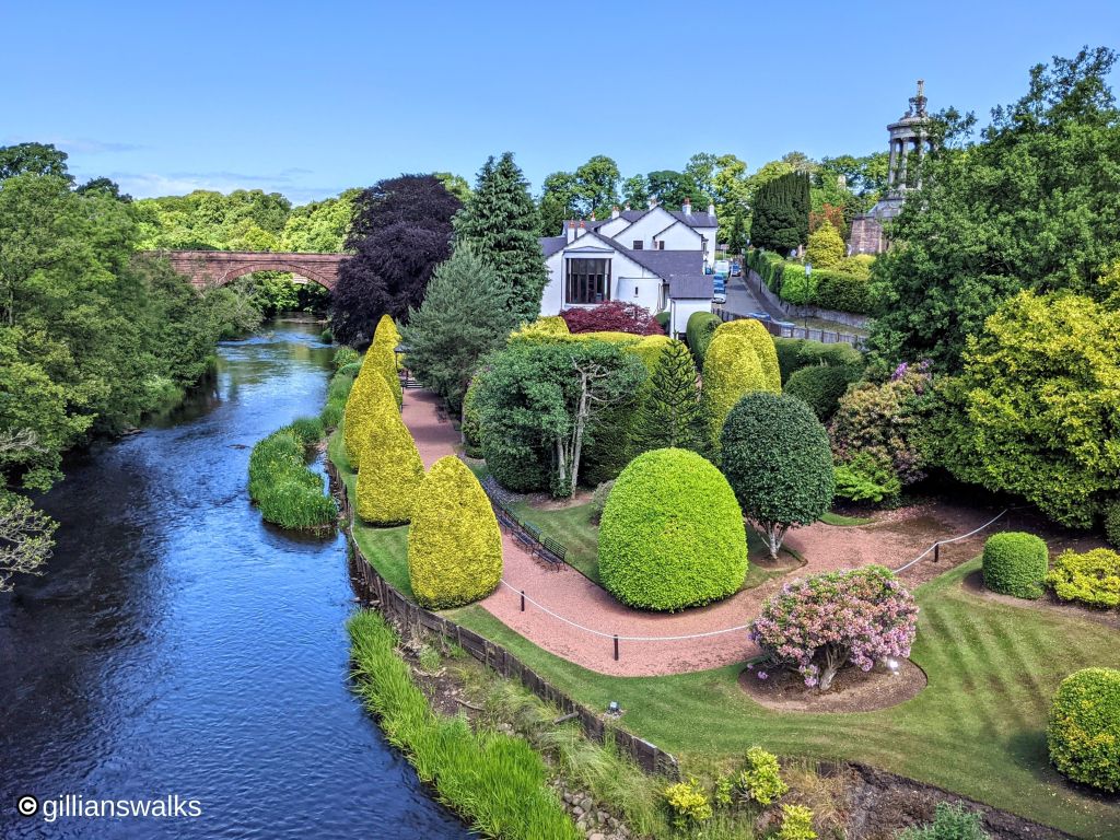
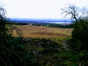
The route I took was 7 miles in total and incorporated both Tam’s Trail and the Alloway Trail, with the addition of a loop back into Ayr via the beautiful promenade. I found myself in parts of Ayr and Alloway, and on footpaths, that I had no idea existed.
Enjoy this one, and let me know in the comments below how you get on!