 Start point: New Cumnock Train Station, KA18 4DF
 End point: New Cumnock Train Station, KA18 4DF
TERRAIN: Graded moderate. A mixture of surfaced pavements, gravel trails and woodland paths, some of which are uneven and close to the water’s edge, requiring care. Some of the surfaces can be muddy after wet weather or overgrown in summer months, although they are maintained by a local volunteer group. Boardwalk, some steps, and a number of kissing gates along the way.
 Dog-friendly route (note that livestock is possible along the river paths and on the section between the Knockshinnoch Disaster Memorial and Knockshinnoch Farm. This route also involves some road walking)
 Walk starts at New Cumnock Train Station making it easily accessible by train from Glasgow, Kilmarnock, Dumfries and Carlisle, and local bus services also service the area. There is free parking at the train station and just off the main street at the Key Stores
 There are toilet facilities at New Cumnock Town Hall
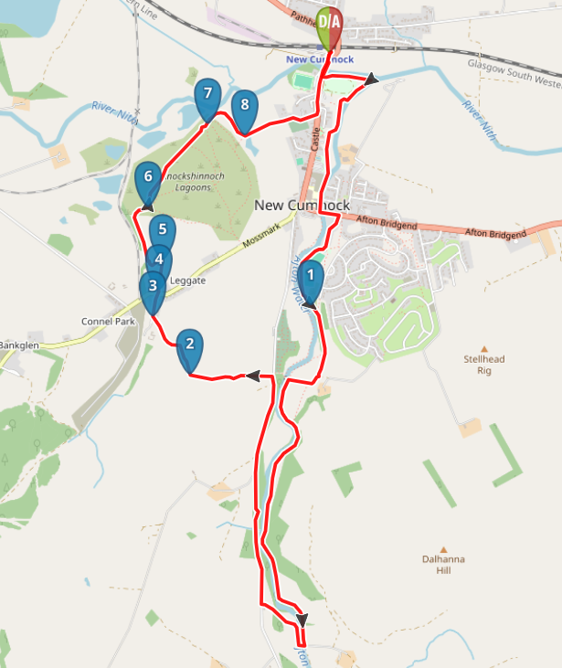
View full route description
Begin your walk at New Cumnock Train Station. Exit the car park and turn right along the main street/A76, crossing the pedestrian bridge over the River Nith.
Cross the road to pick up a footpath on the left which takes you around the edge of a large grassy area. Keep the rivers on your left, following a good path until you reach a small car park and memorial garden. Here turn left to follow a pavement alongside a white brick wall, emerging at the A76.
Cross carefully and turn left to cross the bridge over the Afton (signposted “Greenhead Park and Danny’s Bridge”), then take the first right onto Mason Avenue.
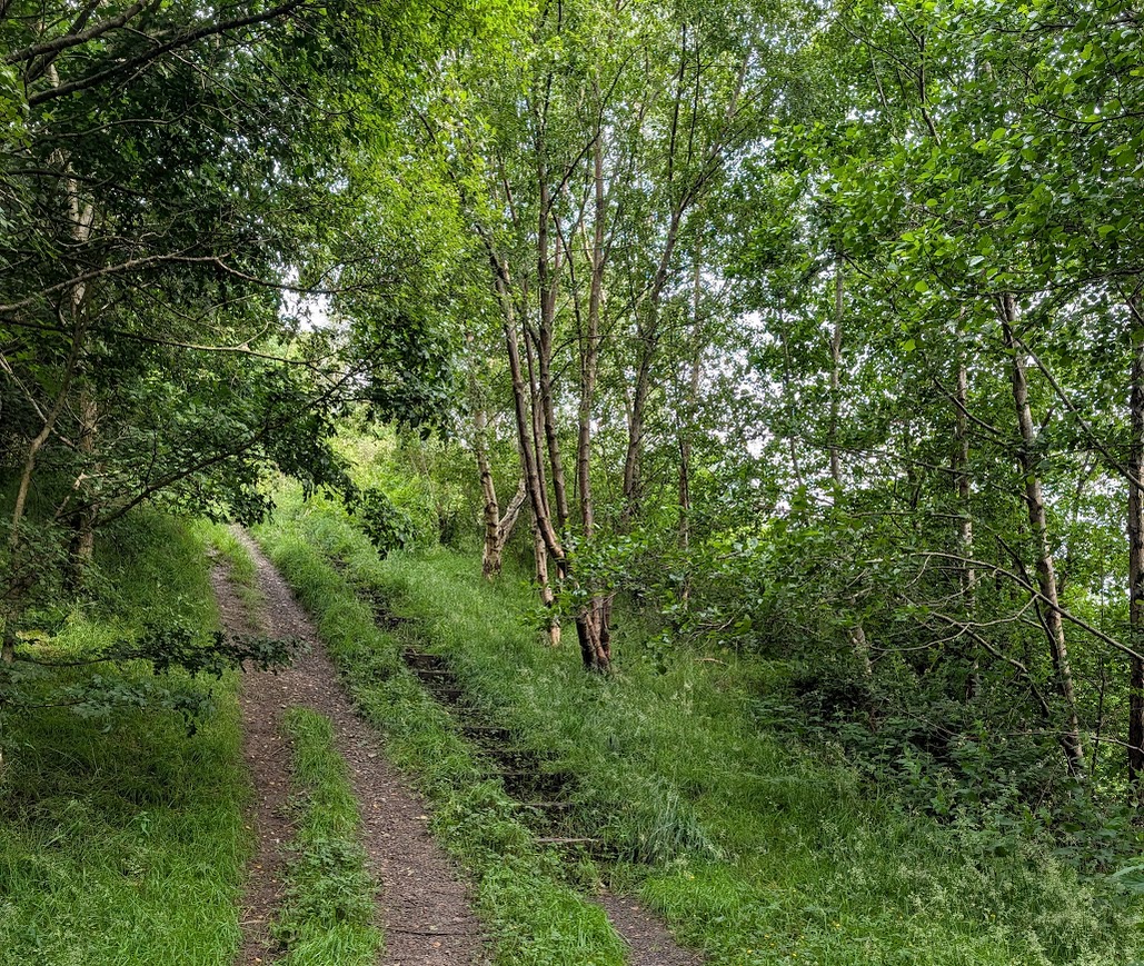
Keep right to go around the outside of the sports pitches, and through a kissing gate onto a riverside trail. There are sometimes cows on this section, although they tend to be quite docile. Keep close to the river, and the path will lead you up some steep steps and through woodland onto higher ground, where the views open up into Glen Afton.
At a fork in the path turn right (signposted “Danny’s Bridge and Knockshinnoch”) to go downhill and across a large field to a footbridge (Danny’s Bridge). Go through the kissing gate but do not cross the bridge. Instead, turn left (signposted “Glen Afton Route”) to walk along the field-edge, between the fence and the river.
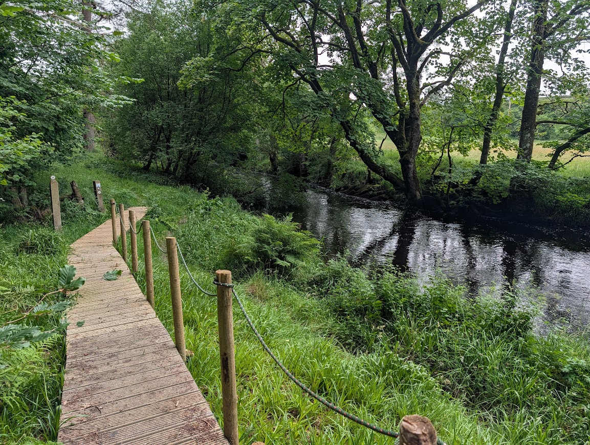
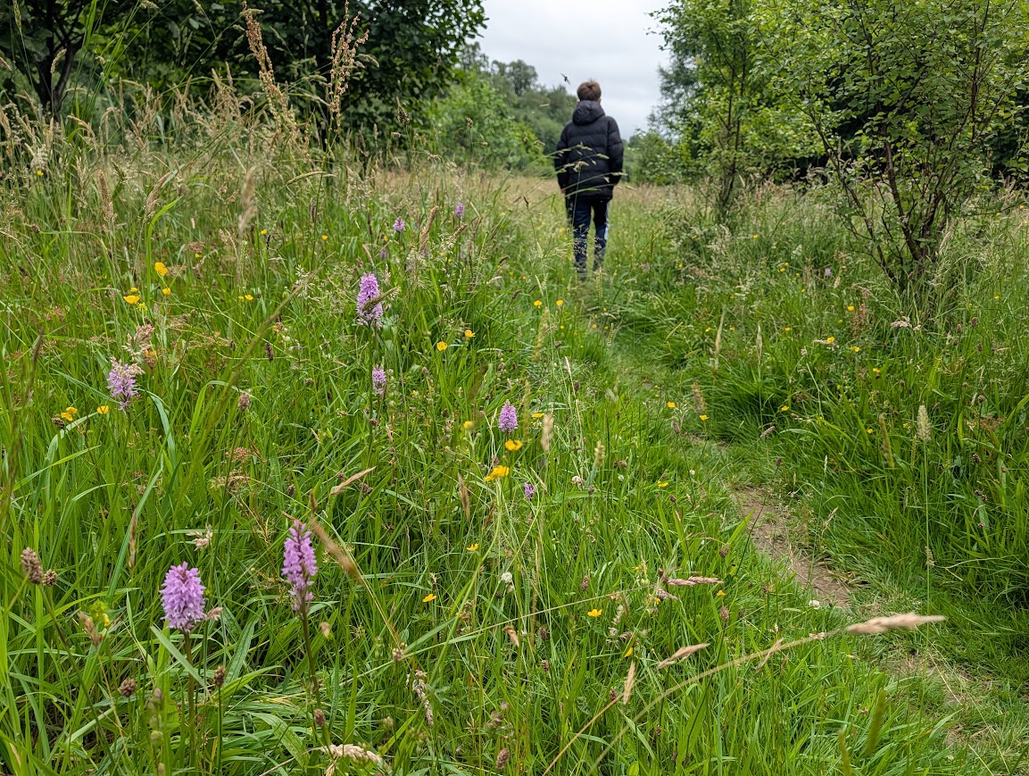
For the next mile follow the trail close to the water’s edge, across some boardwalk sections, small bridges and steps installed by the New Cumnock Walkways volunteers. You will also cross a meadow (particularly beautiful when the summer wildflowers are in bloom) and then skirt the edge of a field (with a fence to your left) and go through two metal gates, emerging onto a minor road near Dalhanna Farm.
Turn right to cross the bridge, and follow the road out onto the main Glen Afton Road. Turn right again and enjoy this easy walk through the Glen, although stay alert for traffic. Be sure to stop off at the Burns Memorial garden along the way.
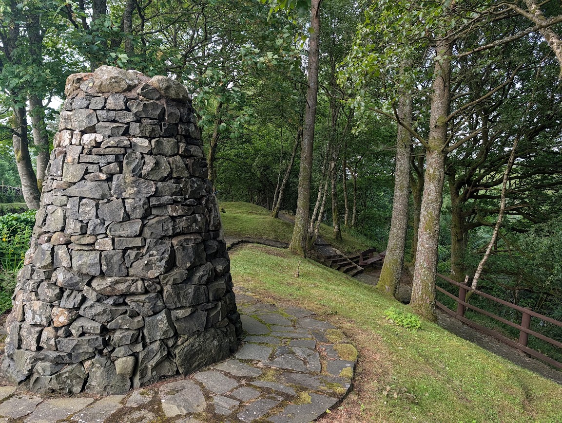
Just before reaching New Cumnock Cemetery, turn left along a surfaced walkway (signposted Knockshinnoch Memorial Cairn and Lagoons). You’ll soon reach the Memorial Cairn – have a look around then continue along the walkway, now gravel, to reach a metal gate leading onto a field. Go through the gate and turn right uphill on a faint grassy trail leading towards Knockshinnoch Farm. Go through the gate beside the farm and turn left on the road.
Turn right along Knockshinnoch Road – a short residential street. Cross the B741 and continue ahead onto what looks like someone’s driveway, towards a metal gate. Go through the gate and follow tracks across a field. At a fork keep left to enter Knockshinnoch Lagoons Wildlife Reserve.
Keep left when you come to a fork and bench. Further along there is another fork at two benches – keep left again. You will pass a Scottish Wildlife Trust information board, after which keep left again to reach the reserve exit route.
Walk along past the old Kirkyard and out onto the A76. Turn left and the train station is just along the road where this walk ends.
Walk Report: 6th July 2026
I included this walk as part of my ‘Hidden Gems of East Ayrshire’ programme in the summer of 2026, commissioned and funded through The Outdoor Partnership Ayrshire. It was a route unfamiliar to me until this year, when I made contact with the New Cumnock Walkways volunteers. I’d been following the excellent work of the ‘Auld Boys’ via their Facebook page for some time, and I felt that this, and the walks in that area, deserved to be highlighted. Bobby was quick to reply and kindly offered a phonecall to suggest a route that I might be interested in. It turned out to be this fantastic 6 miler, full of variety and with lots of local heritage stories to be told and remembered.
The route described here is slightly different to the one which Bobby told me about. My recce took place one sunny evening around a week prior to the guided walk and I took my teenage boys along seeing as it was during the holidays. We reached a stile and noted hand-written signage advising of cows in the field. The field in question was to our right, and looked to be empty, either that or the cows must be round the corner out of sight. To our left (and with open access to/from the field) was the riverside path we intended to follow. Over the stile we went, and started along the river on quite a muddy trail. We didn’t get far when I looked up and stopped dead – a cow was standing on the path ahead of us, looking at us. Not one to take risks where cows are concerned, I didn’t much fancy continuing along and having to squeeze past the beast, so I suggested we backtrack to the stile, hop back over where we’d be safe, and wait for the cow to come past and into its field. That we did…. and that she did…. followed by another, and then another, and then – oh a bull… In total about a dozen cows traipsed past in single file, in absolutely no rush whatsoever and stopping to have a good gawk at us over the fence.
This was a problem for me, because I could not risk bringing my group this way next week knowing that there might be a herd of cows somewhere along the path… A quick look at my digital map showed me that there was another route along the opposite bank of the river which would get us back on track eventually, albeit we’d miss out crossing Danny’s Brig, which I’d been keen to do because I’d seen it featured on many of the Auld Boys’ Facebook posts. I also had no idea what this other route would be like, but we set off to discover it anyway, hoping for the best.
I was more than happy with what I found, and decided that it might even be better than the originally-planned route, since it avoided the stile and took us up to higher ground where the views into the Glen were beautiful.
About an hour later, we were still out on the walk, when my phone buzzed. A message from New Cumnock Walkways. It was Bobby, “Hi Gillian there are cows in the field before you come to Danny’s Brig you will be ok as I have passed them about 10 times and not bothered“. What a coincidence! Our last messages had been a whole month prior!
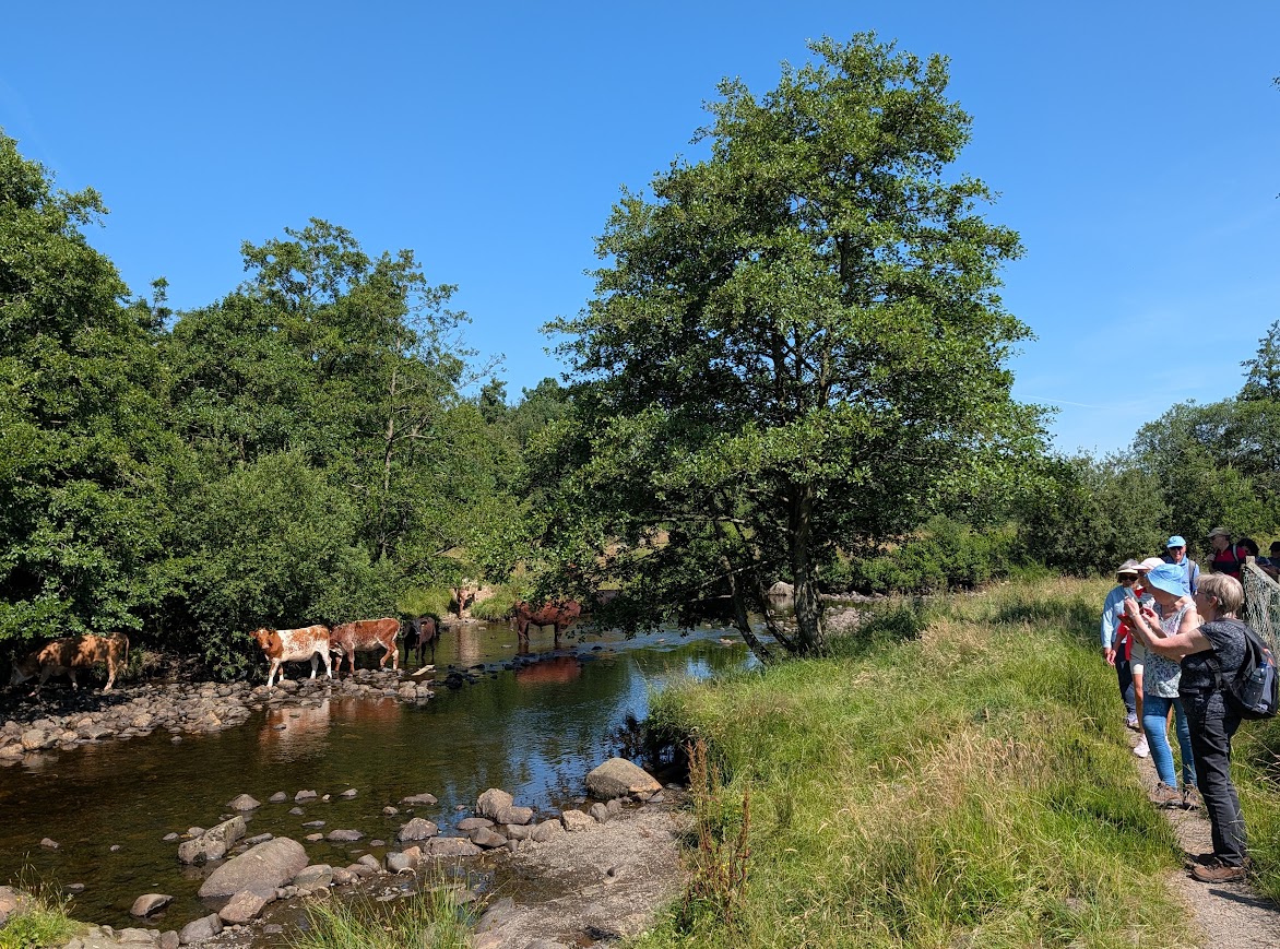
Fast forward a week and I meet up with the group, all buzzing for an adventure on a particularly warm and sunny morning. We walked along to the meeting point of the Nith and the Afton, then onwards to the mine workers memorial, across the road bridge and along past the sports pitches to the riverside trail on the opposite bank of the river from where I’d met the cows last time. So far so good. We didn’t make it far along the trail when out of nowhere appeared the same herd, actually beside us IN the river this time, munching from the adjacent low-hanging tree branches! Usually I’d have been extremely nervous about taking my group past cows, but I remembered Bobby’s words that they hadn’t bothered with him and that reassured me enough to carry on. Indeed after glancing up at us briefly, they got back to the far more interesting task of cooling off under the shade of the trees and in what little water was left in the Afton. Phew, panic over!
We continued on through the woods, reaching a steep set of steps. I knew they wouldn’t be popular, but of course if you want a nice view you usually need to go up at some point. It would be worth it, I promised. So up we plodded, puffing and panting, pausing at the top to admire the surrounding hills. Such a beautiful part of the country – and so peaceful.
Crossing the field, which I am sure will sometimes have cows in it (but not today), we reached Danny’s Brig. I believe this is a historic crossing point over the Afton Water – originally a (sometimes treacherous) ford, which provided a shortcut for the mineworkers heading to and from Knockshinnoch coal pits. It was replaced by a bridge which was washed away. That bridge was later replaced by a suspension bridge, which it was thought would be safer and more reliable due to the lack of a central pillar, meaning it would be able to withstand heavy spates: the idea of local councillor Daniel Robertson (aka Danny).
Tempting as it was to cross the bridge, it would have cut our walk in half, so that shall remain something to be done another time!
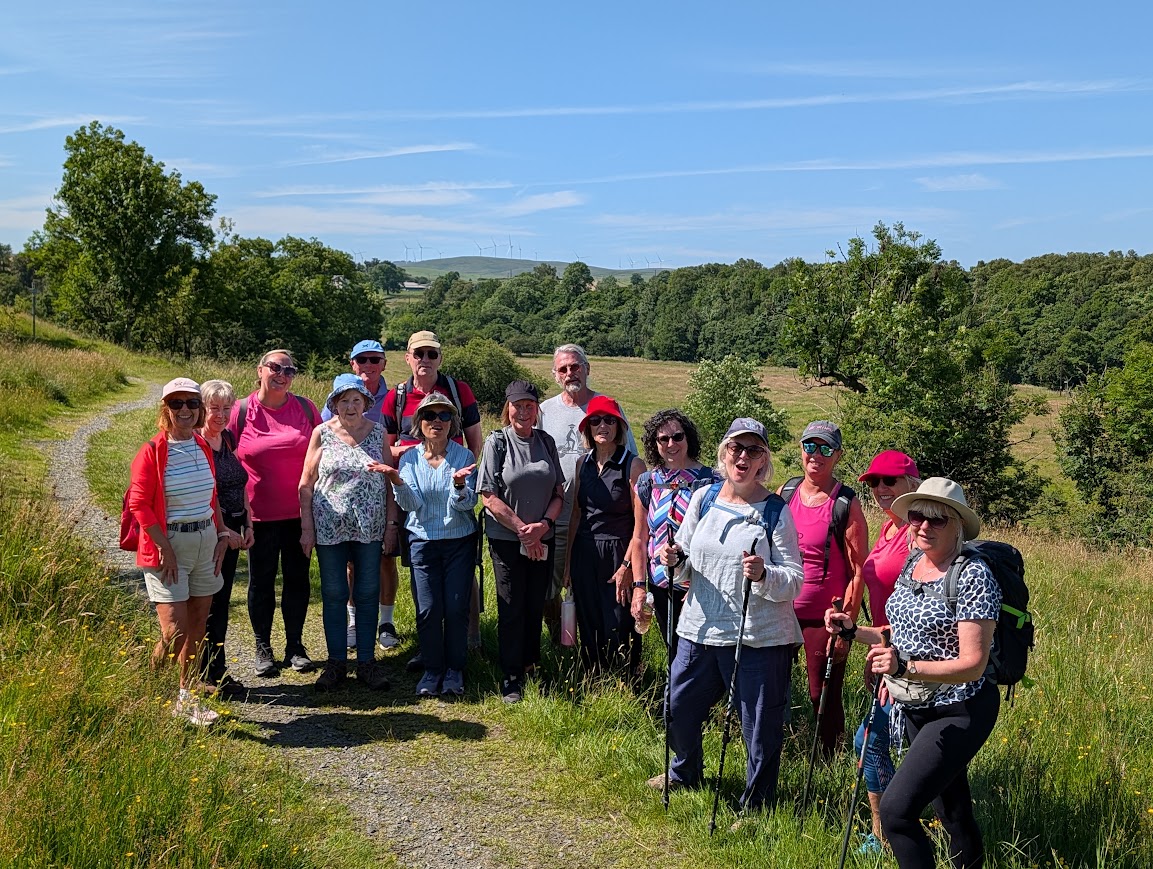
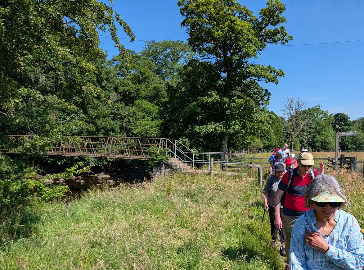
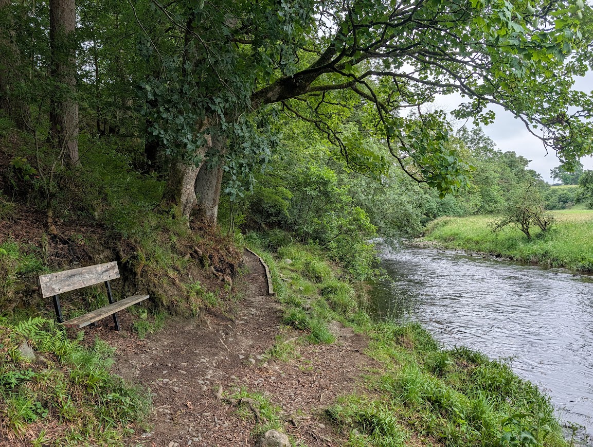
We were soon on the part of the walk which is Facebook-famous! Boardwalks, quirky handrails, paving slabs, footbridges, benches…. all there thanks to the hard graft of skilled volunteers. It is one of my favourite parts of the walk: right beside the river on a narrow winding trail which zigzags around the tree trunks and over their roots, following the lay of the land along the riverbank. Certainly it is clear that were it not for the Auld Boys, much of this path would have washed away by now or be completely inaccessible. Which would be an utter shame.
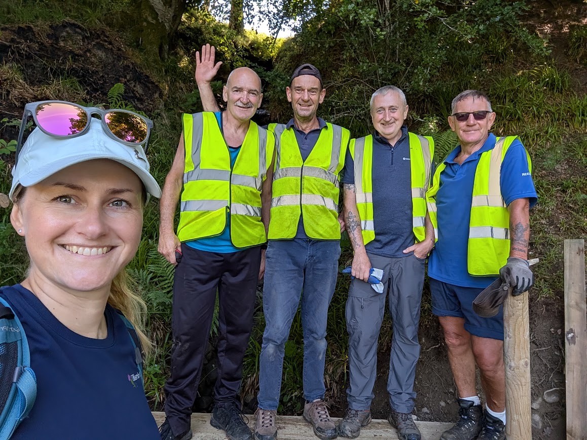
And so imagine my delight when we turned a corner to find the boys themselves hard at work! I couldn’t resist asking them for a selfie 😉
Beyond this point we crossed a meadow full of wildflowers, and then a grassy field-edge which led us to a road.
The grassy field-edge presented a bit of a problem during the recce, when we had quite a hard time with nettles. I looked for options such as entering the field and walking at the other side of the fence which looked much more appealing, however there was no way over said fence, and even if there had been, I’d have struggled to justify bringing a group along and asking them to climb a fence – also not responsible behaviour for a walk Guide. And there was no way we could turn back at this late stage in the walk: we were soooo close to the road and without this short link there would be no New Cumnock Hidden Gem. So I set about blazing a trail through the nettles, pushing the long stems to the ground with my foot, one slow step at a time, opening up a ‘path’ wide enough for a person. I thought I had the hard job – it’s a long stretch, and it was a strenuous task in the late evening heat. But behind me, my two boys had no option but to wait as I made progress at a snails pace. Every time I pushed a load of nettles to the ground, a puff of pollen would fill the air, surrounding us as we moved along the narrow passageway. My youngest, I found out that day, is very allergic to pollen! The poor soul was right in the firing line with no escape, and by the time we got to the other side about half an hour later, he was sneezing constantly and his eyes were on fire. Whoops, bad mum.
If I felt relieved that we had managed to make a way through, and that I could bring the group along knowing that worst case scenario I could do that again, imagine how absolutely delighted I was when I found out that ‘Auld Boy’ Bobby went out and strimmed it all the day prior to my guided walk! Wow, thank you thank you thank you! Use the slider on the image two-below to see the difference!


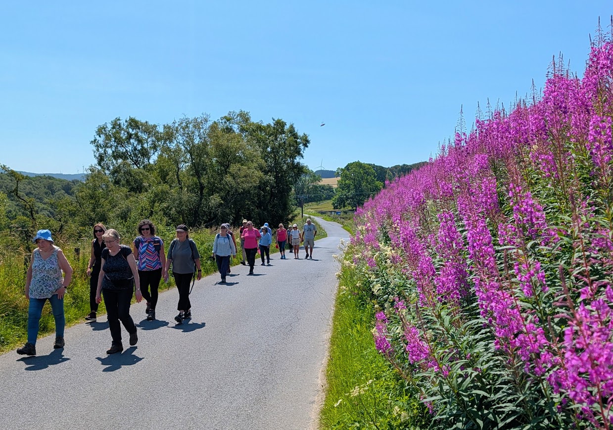
Easy road walking was now much appreciated by everyone for a while, especially with the splash of pink provided by the Fireweed. Look at that sky!
We soon reached Robert Burns’ Cairn and gardens, a lovely quiet spot created by the New Cumnock Burns Club in 1973 to celebrate the 50th anniversary of the club. You may have heard of the Burns song “Sweet Afton”? He wrote this as a tribute to the gentle flowing water of the river which accompanies the majority of this walk. He would have spent a lot of time in this area while travelling between Mauchline and his farm at Ellisland. He was also a close friend of John Logan, who lived at Laight Farm just across the road from the memorial cairn and gardens.
Since there are lots of benches around this area we enjoyed a peaceful lunch stop beneath the shade of the trees. Look how well it is cared for!
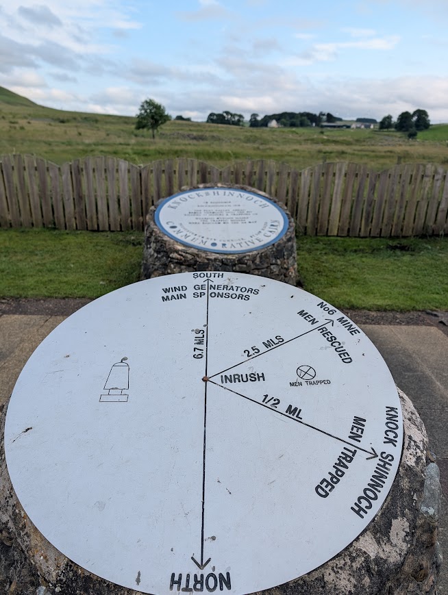
From the Glen Afton Road you could simply continue back into New Cumnock and finish your walk. That’s what my boys were keen to do! But that wasn’t the plan. The plan was to veer left along to the Knockshinnoch Mining Disaster Memorial site. It’s a well-constructed all-abilities path with lovely views of the surrounding farmland in every direction.
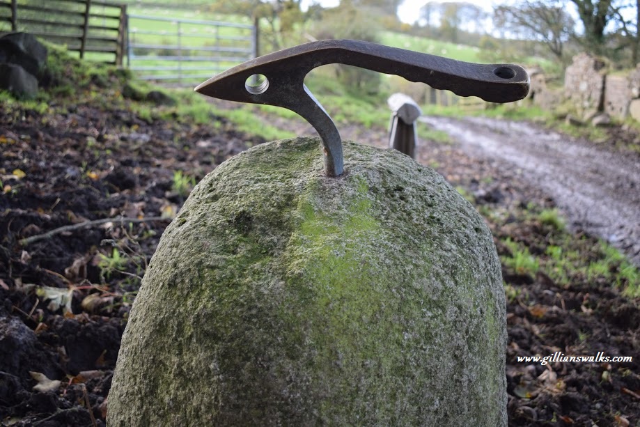
However things were not so peaceful on 7th September 1950 at around 7.30pm when an inrush of liquid peat suddenly broke through from the surface, flooding the Knockshinnoch Castle Colliery, cutting off the two escape routes, and trapping 129 men underground. 116 were saved over the next three days – they had all managed to get to a place that had not been affected by the inrush. Very sadly, 13 men died – they had all been working near where the inrush began and could not be rescued. Their bodies were recovered but some of them not until the following July. The walled enclosure of the Memorial site is designed in the shape of a miner’s shovel. There are slabs on the ground around the memorial: 116 white, and 13 red.
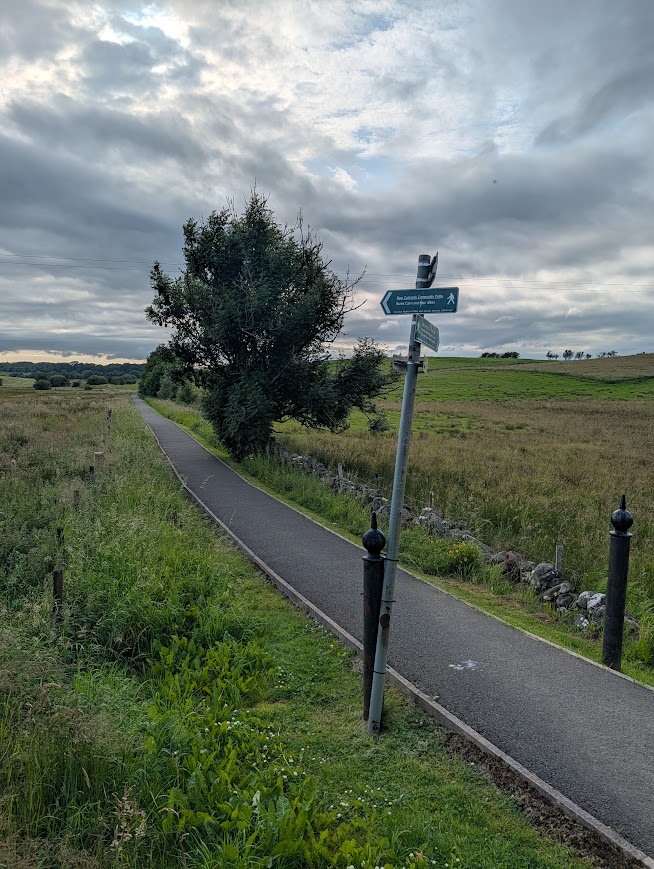
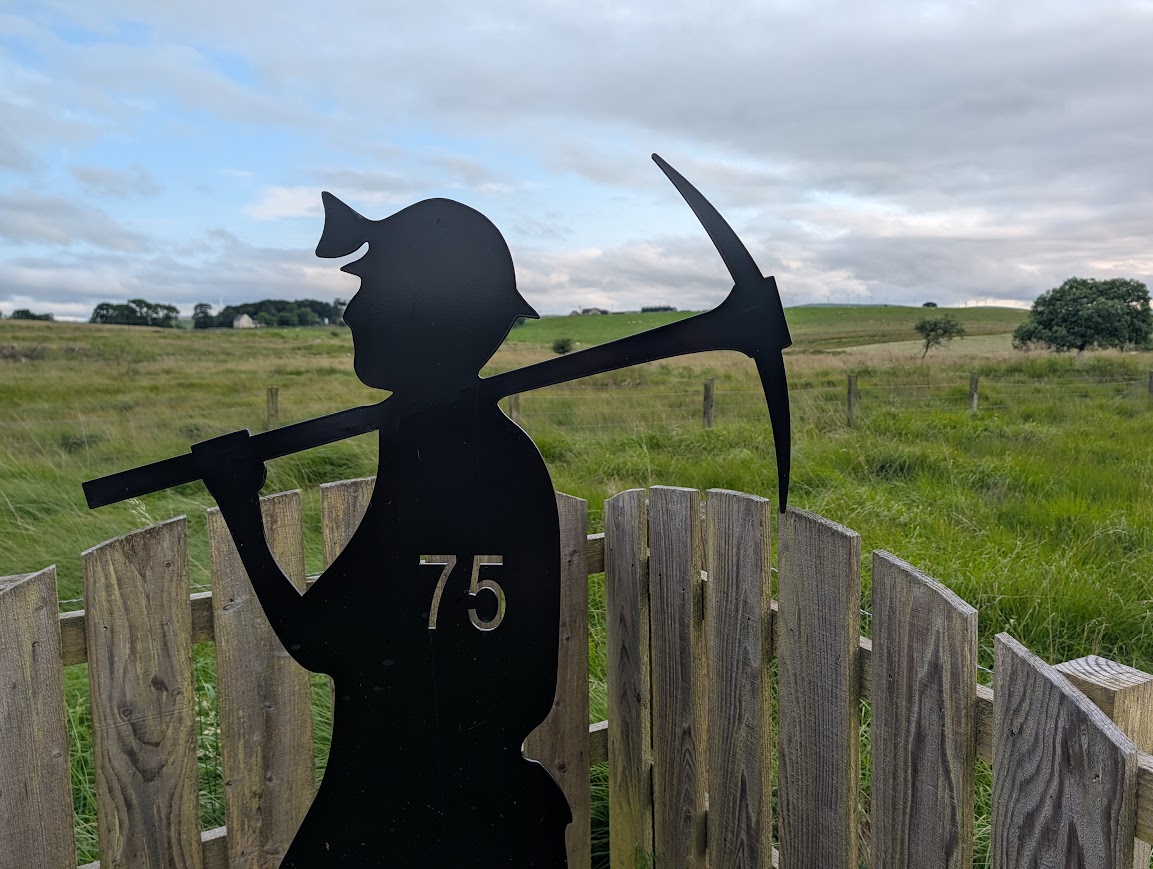
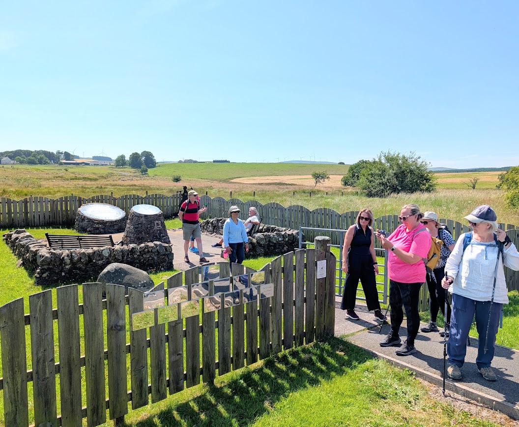
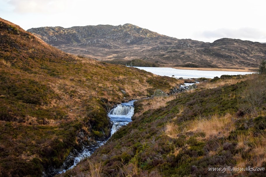
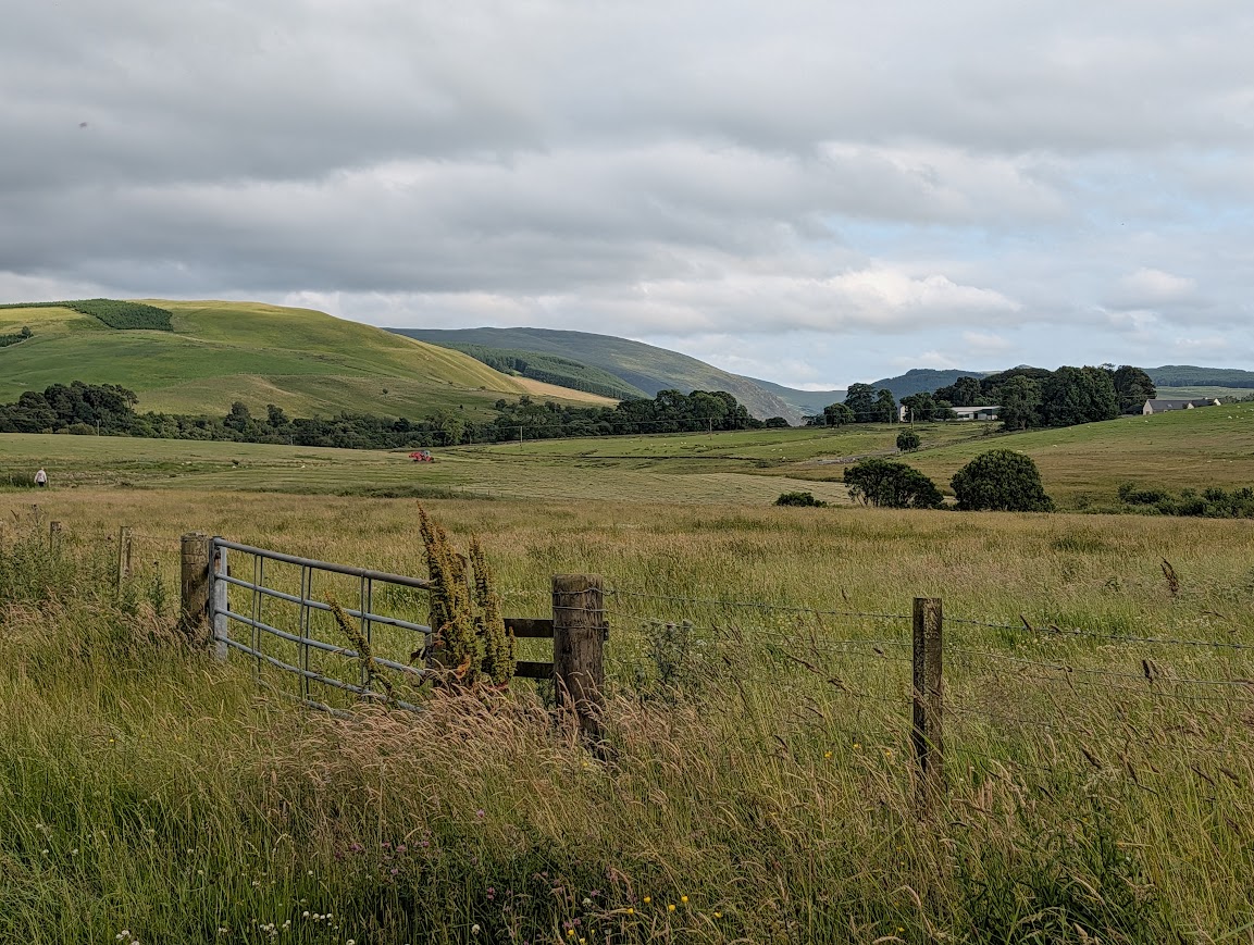
Having taken some time to reflect at the Memorial, we continued on our way. The views from here down the Glen were just beautiful, and looking back towards Blackcraig Hill, I couldn’t resist a photo of what can only be described as postcard-perfect. Rural East Ayrshire at its very best.
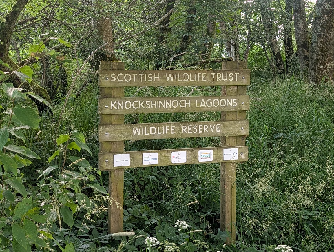
Soon we arrived at the entrance to Knockshinnoch Lagoons Wildlife Reserve. Formerly the floodplain for the River Nith, this area was drained for grazing about 150 years ago. The landscape was then transformed by the coal mines, creating numerous ponds and mudflats, attracting migratory birds en route between the Clyde and Solway estuaries. Once the mines closed the water started to dry up creating grasslands instead of ponds and mudflats, and native trees and wildflowers began appearing. Excavation of the ponds later took place to reintroduce some of the water and attempt to attract bird life back. There’s a bird hide on the site, and a network of woodland trails with plenty of benches to rest at.
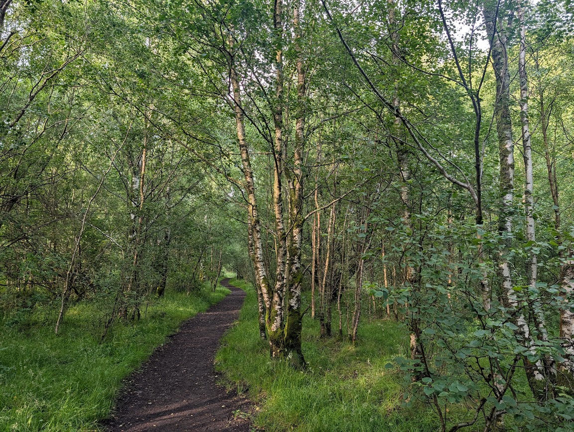
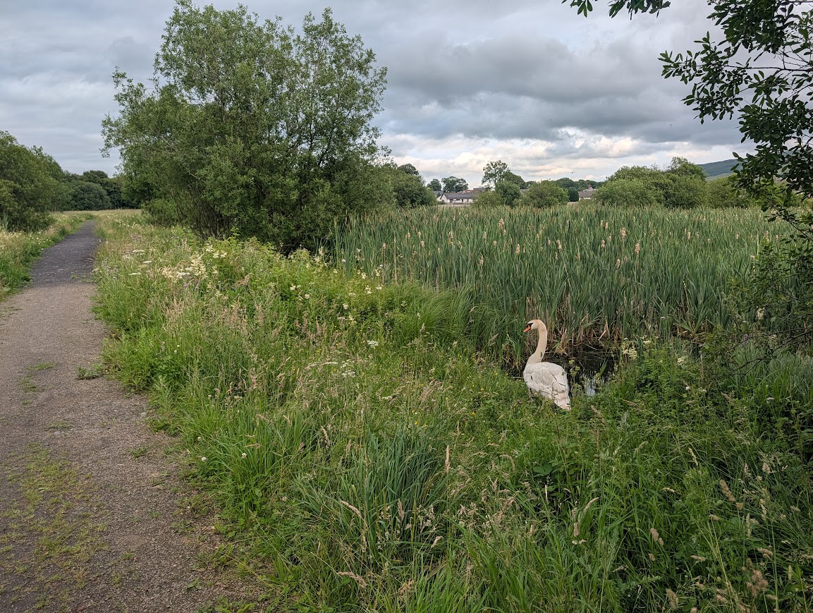
From the Lagoons, a short walk past New Cumnock Auld Kirk & Cemetery led us back out onto the main road, just a hop, skip and a jump from the train station where our adventure had begun some hours ago!
A true hidden gem of a walk, I hope you’ll agree!
If you’re interested in more detailed information about the historic features along this route, I recommend visiting the New Cumnock Heritage website.