![]() Bus service to Arrochar from Glasgow. Chargeable car parking available at Succoth Car Park just off A83 in Arrochar (G83 8EG)
Bus service to Arrochar from Glasgow. Chargeable car parking available at Succoth Car Park just off A83 in Arrochar (G83 8EG)
View full route description
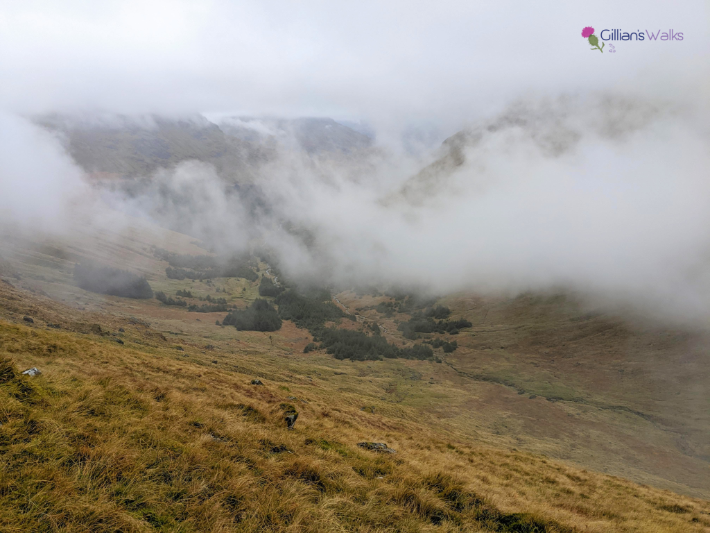
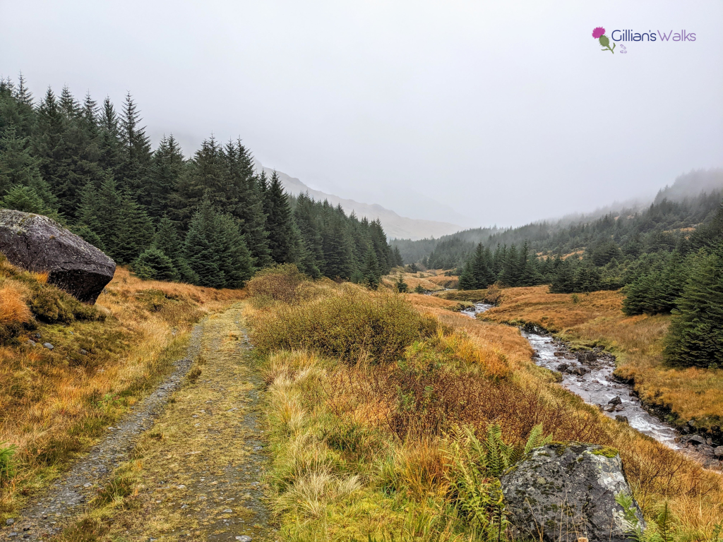
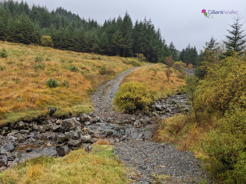
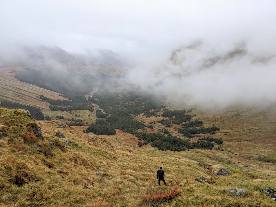
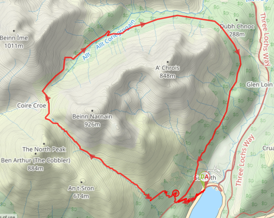
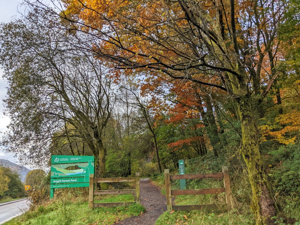
From Succoth car park head out the main entrance to reach the A83. Cross the A83 picking up a track at the other side, signposted “Argyll Forest Park”. Follow the path as it zig zags uphill. At 100m elevation you’ll reach a forestry track at a bench. Turn left (SW) then almost immediately right (NW) onto another footpath zig zagging uphill. At 300m elevation the path emerges out the forest beside the Allt a Bhalachain burn. Continue in a general NW direction for approx 3km with the burn on your left-hand side, passing the Narnain Boulders at 480m elevation. On a clear day you’ll have a good view of Ben Arthur (The Cobbler) ahead to your left and Beinn Narnain to your right. At the top of the burn you reach Bealach a’ Mhaim where the terrain levels out. At a path junction at 630m elevation, turn right (N/NE), heading away from The Cobbler, traversing the bealach. After passing through a gate at 637m elevation, the path begins to ascend towards the summit of Beinn Ime. Ascend the path for approx 20m, then come off the path and descend the hillside to your right in a general NE direction. Note that the terrain here is extremely steep and challenging (tussocky grass with lots of small water courses to be careful of). Make sure you stay to the left of the Allt Coriegrogain burn as you descend. You are aiming for a fenceline at 450m elevation on the edge of a conifer plantation. Climb over the fence (no barbed wire) and follow it roughly N, turning right (E) after 100m or so, into a clearing in the trees to reach the start of a forestry track. The track follows the course of the burn for approx 1km where it passes a small dam. Take the next track on your right (SE). This leads to a ford across the burn [may be impassable if the burn is in spate, in which case a 0.5 miles/800m longer alternative route can be taken by returning to the forestry track, turning right (NE) and following it further along the burn to a path junction at the Inveruglas Water, then following the Three Lochs Way south through Glen Loin and into Arrochar]. After crossing, turn left (E) signposted Glen Loin Loop Arrochar. Continue on this track for 6.5km to a path junction at 90m elevation where you turn right (SW), ignoring the sign post for the car parks. After 600m you’ll arrive back at the bench from earlier. Turn left (SE) to zig zag back down the final section of the hillside to the A83, with Succoth car park just over the other side.
WALK REPORT: 21st February 2016 & 22nd October 2022
I did this walk both times with my former colleague and now friend Gleb. The first outing in 2016 was on a rainy day in February. It was only our second walk together and quite a step up from our first which was a flat walk along the Kelvin Walkway a few months prior! It was also to be my first hill walk in years so I was slightly nervous about my fitness levels and how I would fare.
I was absolutely buzzing at all points before, during and after! It had been so long since I had been in the hills I was super excited to jump in the car and drive along Loch Lomond to Arrochar. Even a weather forecast for heavy rain all day could not dampen my spirits! I have such a respect for the Scottish hills, I know their dangers and appreciate their beauty. When I am up there I feel free and alive!
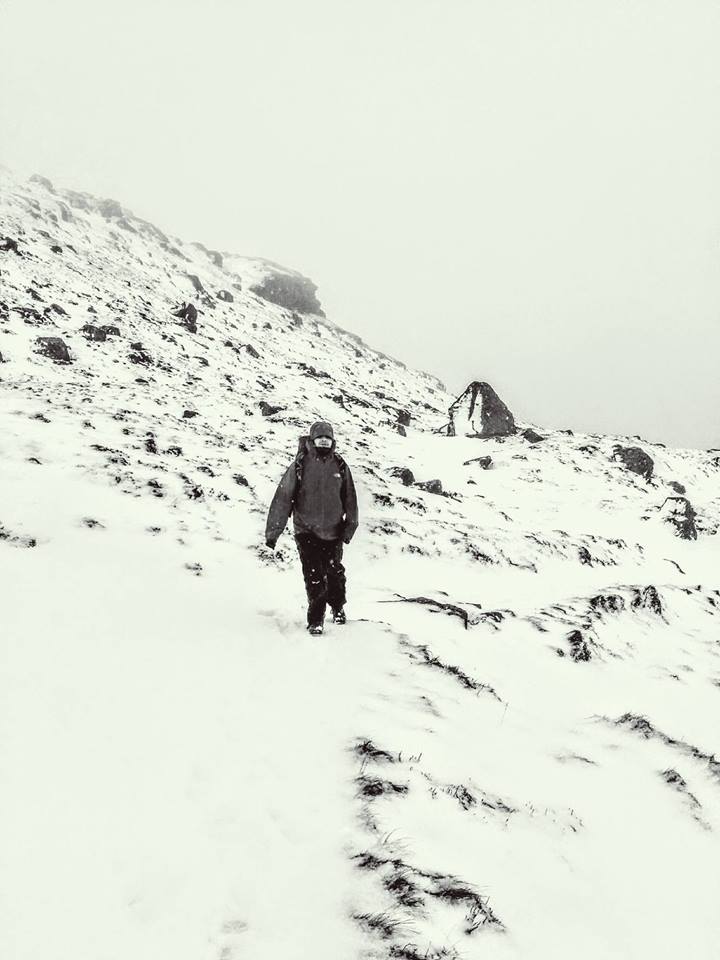
As well as the rain falling (ALL day!), there was a lot of water underfoot on the lower paths. The further up we hiked, the rain turned to snow with significant snow lying on the ground (at some points my feet were going in knee deep). Despite being prepared with full waterproofs we were both soaked by the end of the day. I went through 2 pairs of gloves – my ski gloves kept my hands cosy until the point they were soaked through and then they were no use. Do you get such a thing as waterproof gloves???
It is not a walk I would have attempted alone back in Feb 2016 because I didn’t have good enough navigation skills. I knew Gleb had lots of experience and knew this area well, having completed the same route a few weeks earlier so I trusted him to get us back safe. Fear of being unable to safely get myself off a mountain was something I recognised as holding me back from getting into the hills more often. I wanted to take my family with me one day: how could I do that if I couldn’t navigate?! Simple: I couldn’t.
As the day progressed it got me thinking about how being out in conditions like this really shows you a person’s true nature. Gleb is such a selfless and caring walking partner: he knew that my fitness levels were not the same as his own and that I didn’t have any recent hiking experience in the hills so he let me set the pace, asked regularly if I wanted to stop for a break, and he even went without gaiters to let me use his (I had left mine in the car!) and offered me his crampons on a steep downhill section. I respect him so much for all of those things! He also helped me out a few times later on in the day when my fingers seized up due to the cold making it impossible for me to do/undo zips on my jacket and rucksack, get my gloves on and off, open a protein bar etc. I felt I was probably a bit of burden at times but Gleb didn’t make me feel that way at all.
“You know you are pretty stubborn” is how I was described after refusing every opportunity given to me that day to take a break. Mainly this was because it was just far too cold, wet and windy to stop for any length of time but it was probably also me wanting to prove something to myself about my abilities. Well on the way down my body responded by giving me cramp in my right thigh; it’s way of telling me I hadn’t hydrated or eaten enough over the last 6 hours. I was grateful for my childhood hiking days teaching me that I needed water and salt so the cramp was gone a few minutes later.
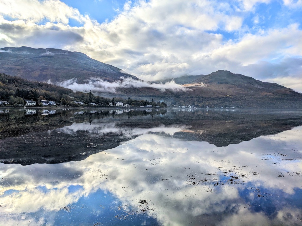
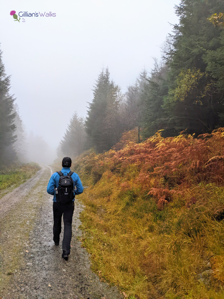
Roll on 6 years to October 2022 and I’m happy to report that as I update this post, I am a fully qualified lowland walk leader and a confident navigator. Second time around I was treated to more favourable weather conditions, for the first couple of hours at least. Despite being close to the end of October and autumn in full swing, temperatures made it into double figures. Walking in a t-shirt would have been very much acceptable as we climbed up the first section, The Cobbler playing hide-and-seek with us as low cloud whisped around it’s summit.
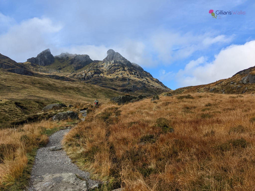
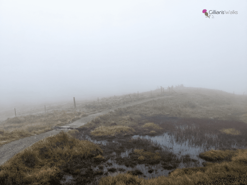
As we reached Bealach a’ Mhaim the mist descended and visibility became very poor. Damp air turned to drizzle which turned to rain. We finished the walk soaking wet. A reminder of how quickly conditions can change on the Scottish hills. I’ve yet to hike in the Arrochar area and stay dry to be honest! We hoped the girl we’d seen climbing The Cobbler in Converse trainers earlier on had made it back before the rain!
Walking the route again prompted me to make some changes to the route description above and also to put more emphasis on how challenging this route is compared to most others on my website, in particular the pathless section down into Glen Loin. By being very clear about the type of terrain involved people can then make their own minds up whether it is a route they feel is within their personal capabilities or not. Hopefully my updated photos will also help to inform that decision!
