Skip to content
Community
Walking Routes
Events Calendar
Hidden Gems of East Ayrshire
Ballantrae Smugglers Festival
Ayrshire Coastal Path 2026
Intro to Digital Navigation
Nordic Walking
Hire me as your Private Walk Guide
Ayrshire Groups & Clubs
Blog
Shop
Menu
Community
Walking Routes
Events Calendar
Hidden Gems of East Ayrshire
Ballantrae Smugglers Festival
Ayrshire Coastal Path 2026
Intro to Digital Navigation
Nordic Walking
Hire me as your Private Walk Guide
Ayrshire Groups & Clubs
Blog
Shop
Category: Z – My 100 Walk Challenge
*BUGGY Friendly Walks*
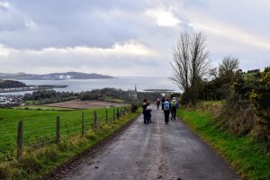
Walk 100 -Millport Inner Circuit, Isle of Cumbrae – 7 miles
Read More »
All Walking Routes
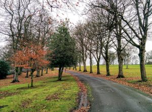
Walk 99 – Kay Park, Kilmarnock – 0.6 miles
Read More »
*BUGGY Friendly Walks*
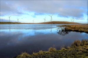
Walk 98 – Lochgoin Circuit, Whitelee Windfarm – 7 miles
Read More »
*The Scottish hills*
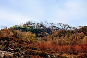
Walk 97 – Ben Venue from Loch Achray – 8.4 miles
Read More »
*BUGGY Friendly Walks*
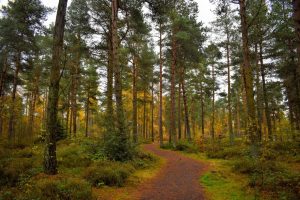
Walk 96 – Red Squirrel Trail, Devilla Forest, Fife – 1.7 miles
Read More »
All Walking Routes
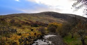
Walk 95 – Blackcraig Hill, East Ayrshire – 5.4 miles
Read More »
9+ miles
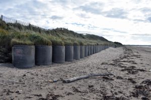
Walk 94 – Irvine Beach & Shewalton Woods – 9.3 miles
Read More »
*BUGGY Friendly Walks*
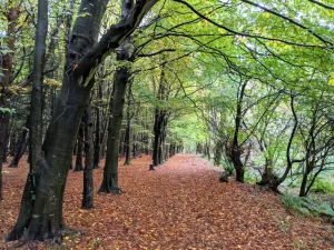
Walk 93 – Eglinton Countryside Walk – 2.7 miles
Read More »
All Walking Routes
Walk 92 – Dumfries House Estate, Cumnock – 1.6 miles
Read More »
*BUGGY Friendly Walks*
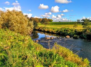
Walk 91 – River Irvine Walk, Crookedholm – 2 miles
Read More »
*DOG Friendly Walks*
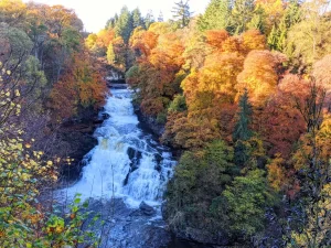
Walk 90 – The Falls of Clyde, New Lanark – 3.7 miles
Read More »
*The Scottish hills*
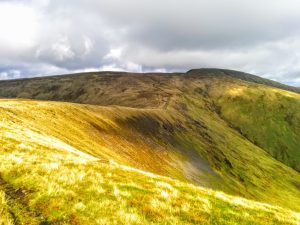
Walk 89 – The Merrick, Dumfries & Galloway – 8.4 miles
Read More »
Page
1
Page
2
Page
3
Page
4
Page
5