![]() A few parking spots around about the Oswald’s Bridge area Auchincruive, no formal car park just small lay-bys.
A few parking spots around about the Oswald’s Bridge area Auchincruive, no formal car park just small lay-bys.
View full route description
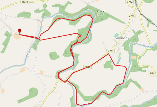
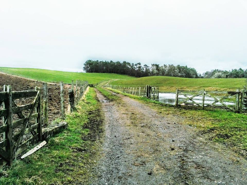
The walk starts on the left hand side of the road after crossing Oswald’s Bridge. It is clearly marked. After crossing some farmland you soon find yourself on a well defined track through dense woodland. The River Ayr will begin to emerge to your left and the path starts to head steeply uphill. At the top you will come to a fork in the path where you continue straight on over a style, however take some time to visit the viewpoint to your left first! The track continues to follow the curves of the river taking you through more woodland and passing some open farmland. After being in what feels like the middle of nowhere for a good while now (in a good way!), you will come out onto B744 at Tarholm Bridge. Cross the bridge and look out for the way markers leading you to a gate on the right. At Annbank you follow the B744 back down to Tarholm Bridge. From Tarholm Bridge you follow your footsteps back through the woodland to the view point where you take the left fork along through some farmland, bringing you back down to Oswald’s Bridge where you started.
WALK REPORT: 24th March 2016
I thoroughly enjoyed every minute of this walk and will be back for sure as there are people I’d love to show it to! I may be wise to avoid the closed section of the path next time though!
I was child-free today so wanted to tackle a longer route, and one that I knew wouldn’t be suitable for a buggy. I had been at Auchincruive only a week ago when I completed a short walk with my mum & youngest son, and when we were ready to leave I spotted the start of the next section of River Ayr Way leading off through a gate. I really liked the area and plan to walk the entire trail so it made sense to come right back.
A friend had called off due to a poor weather forecast so it was me, myself and I. The weather must have put others off too because I didn’t meet a soul until the final 20 mins of my walk. Much to my delight I didn’t experience rain at all despite being in full waterproofs ‘just in case’. Better safe than sorry I guess! Underfoot was a different story – mud galore for a lot of the way. Definitely a walk for the gaiters to make an appearance.
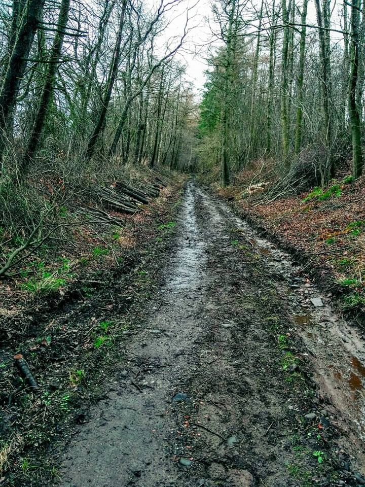
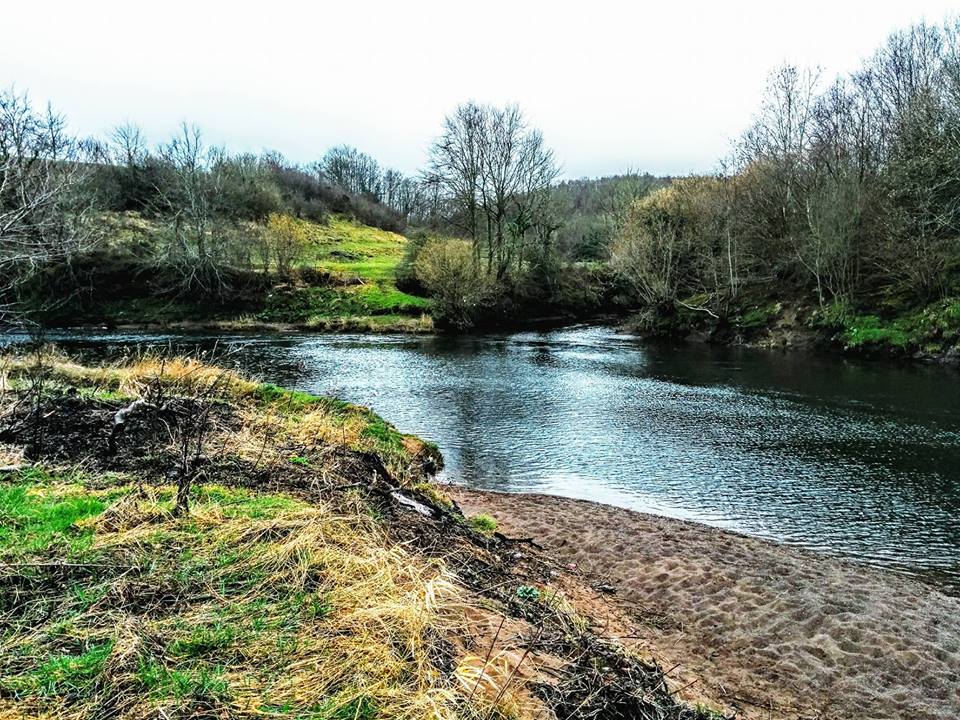
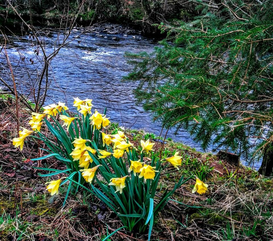
One thing that I particularly enjoyed about this part of the walk was the variety of plant life on display – I am a sucker for ivy and moss and you have it in abundance here… At one stage you will come across a somewhat off-putting sign advising that you are in an area known for Giant Hogweed and warning of the dangers of it! On a lighter note I also saw a variety of wildlife including lambs, ducks and a pair grey herons which have beautiful long necks and black tips on their wings. Couldn’t get a decent photo of them!
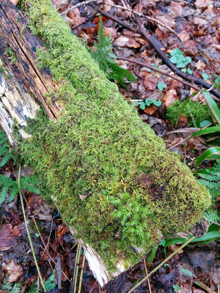
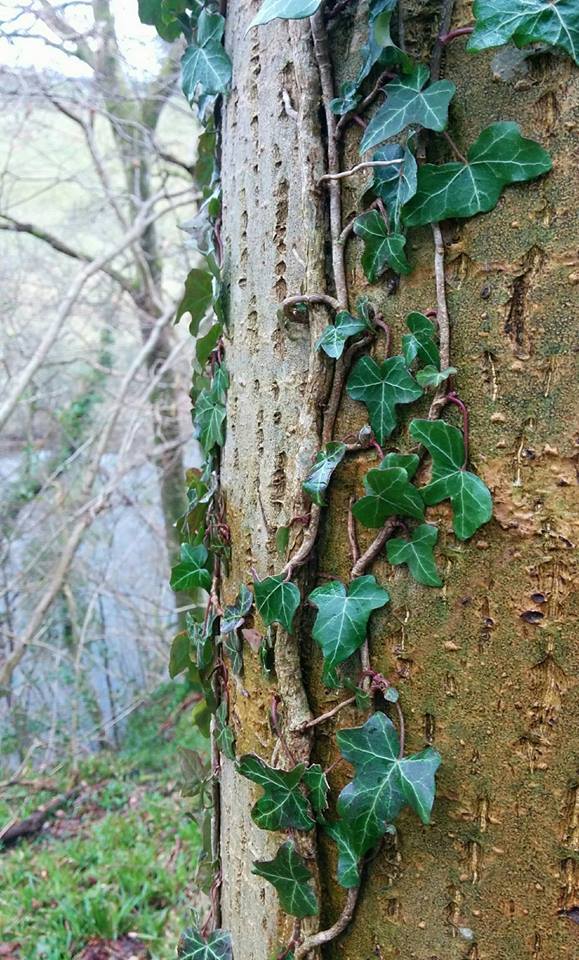
When I did this walk there was a notice on the gate at Tarholm Bridge advising that this section of the Way was currently closed due to a landslide at the Black Rocks. I was immediately curious! What’s the worst that could happen if I came to a part that was impassable…? Deep down I hoped that I wouldn’t need to turn back and that maybe the council had fixed the issue and had just forgotten to take the sign down 🙂 I am glad I went because this section was to hold some of the nicest scenery I had come across all day and was so tranquil.
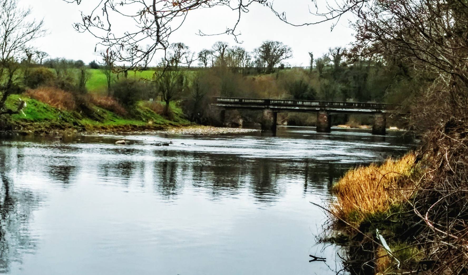
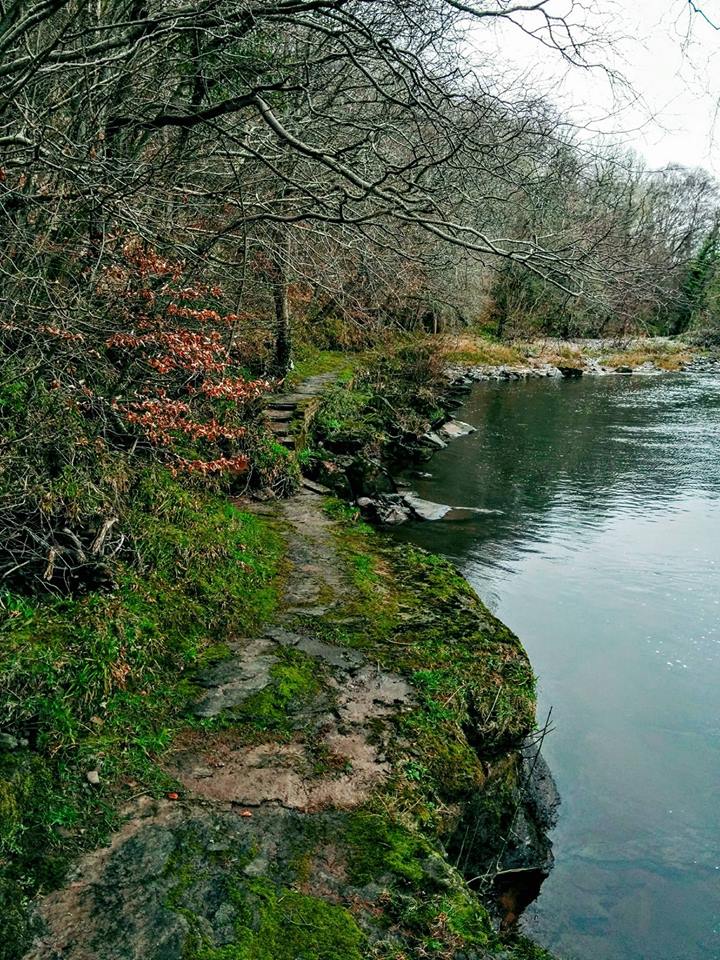
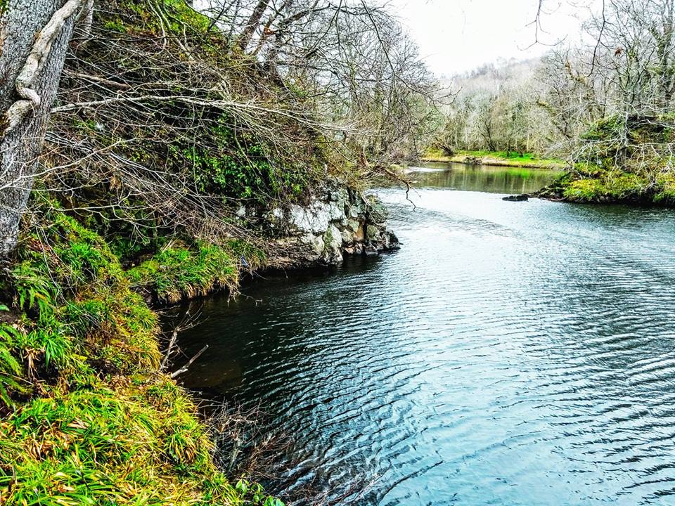
I was nervous though – what would I find?! Well… a whole section of the path has been covered by rocks and trees which have slid down the steep embankment towards the river! It is such a short section though and I could see footprints making their way up the debris and down the other side so I decided to follow them and see if I could get across. I paused a few times to take some photos but my heart was racing and I did realise that I was putting myself in danger by passing this way. Looking up at it I could see that it was probably unstable and I was aware of having no power over what would happen if I were to dislodge another part of it whilst standing on it. The rocks I was walking on were pretty slippery too so it was slow going.
Nothing happened though, I got across safely and despite feeling silly for having ignored the notice on the gate I felt a little smug too that I had done something ‘naughty’ and gotten away with it! I could see that work has started on creating a de-tour around the back of this section on higher ground – I passed the steps up to it at either side. If you are to attempt this section then I would suggest trying that route instead.
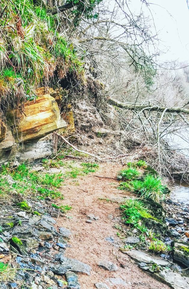
Phew! I feel a little stressed now just writing about it and remembering how I felt at the time! I definitely wouldn’t have gone that way if I had been with anyone else. I will await the telling-off when my parents and husband read this 🙂
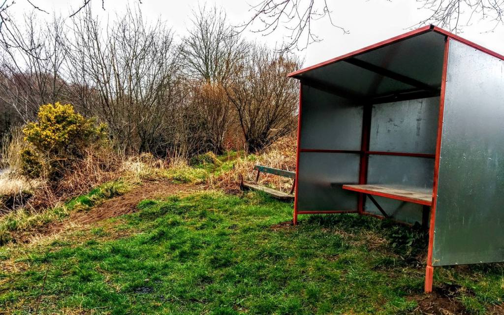
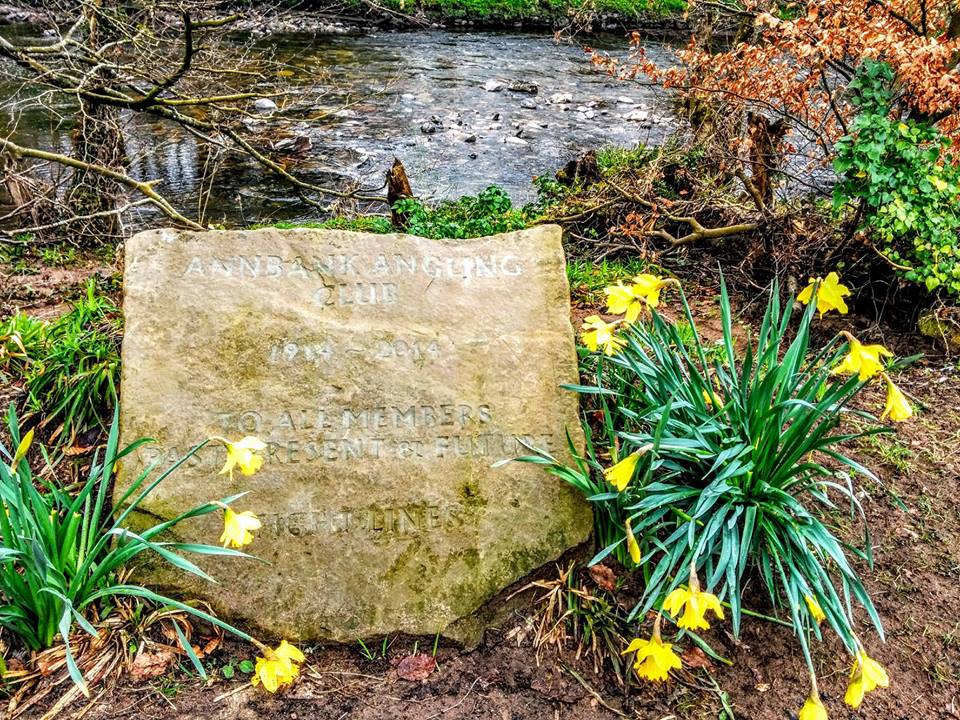
A large part of this walk is shared by Annbank Angling Club as you will see from the numerous little shelters dotted along the river. There is also a plaque just before you come into Annbank marking 100 years of the Club’s existence.
I have to give credit to my mapping app for this walk: Before leaving home I used it to work out exactly what route I wanted to take and how many miles that would be. Once onsite all I had to do was open the app on my phone and ‘follow’ my planned route. Walking alone, one fear I have is getting lost but these apps eliminate that possibility. I also use it to notify a few people of my planned route so that someone is aware of where I am should anything happen. I can highly recommend using one either to map out your own walks in advance, or to download my routes and then have the ability to ‘follow’ them turn by turn. It uses GPS to track your whereabouts so the only thing you need to activate is your location services. The site I currently use and recommend is Visorando, available on both Apple and Android.
To read my other River Ayr Way walk reports click HERE

