![]() Car parking available in Tinto Hill Car Park, just off A73 (ML12 6HU). No public transport to start point.
Car parking available in Tinto Hill Car Park, just off A73 (ML12 6HU). No public transport to start point.
View full route description
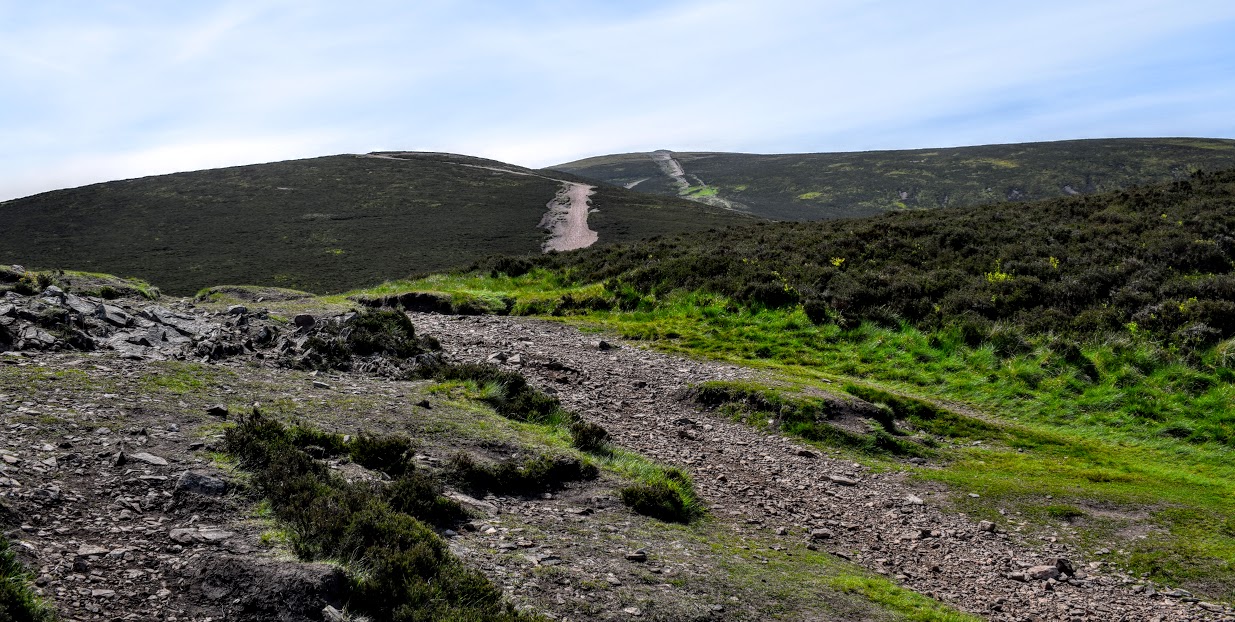
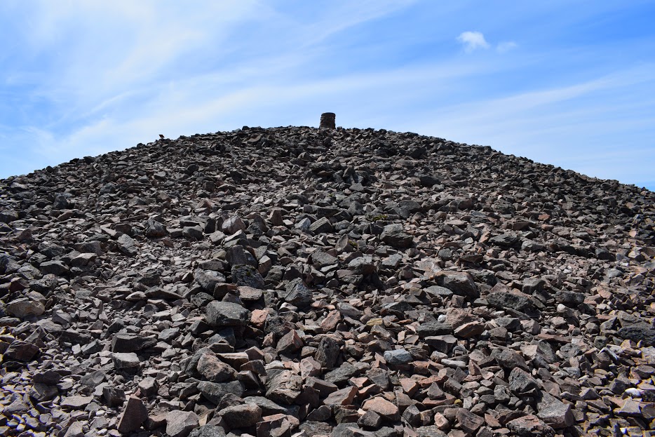
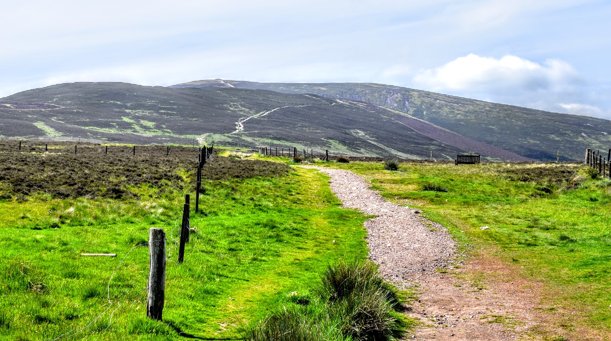
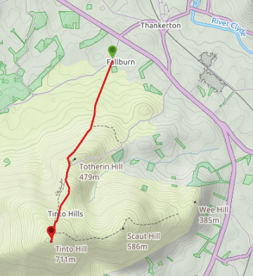
From Tinto Hill Car Park there is a very obvious path heading South from the information board. This continues all the way to the summit, making navigation very easy on a clear day. 1.2km along ignore a smaller track off to the left, instead keeping to the main route (South). You will pass a cairn 800m further along, where the ground will flatten out. Just beyond that there is a fork in the path- keep right (South) to start heading uphill once again. Another fork awaits you 270m up the hill – You can go either way as the paths later meet up again however I suggest keeping left (South East) to avoid the hill’s craggy side. The track meets a fenceline which you should follow South to the summit (711m). Return via the same route to arrive back at Tinto Hill Car Park.
WALK REPORT: 3rd June 2016
Tinto Hill is one of the peaks on my Trail 7 Summits challenge for 2016. Organised by Trail Magazine, this basically involves choosing 7 summits you want to attempt during the year and then start ticking them off. My mum tells me I did this one when I was little but with no memory of it, off I set once again at the age of 34.
There were already a few cars in the car park when I arrived and after taking some time to read the information board at the start, through the gate I went to start the ascent. Immediately I was stung ion the leg by a huge nettle growing beside the gate. I pondered for a moment whether everyone who attempts Tinto is stung by the same nettle due to it’s annoying position right where you would place your foot after opening the gate, and no way of seeing it beforehand….
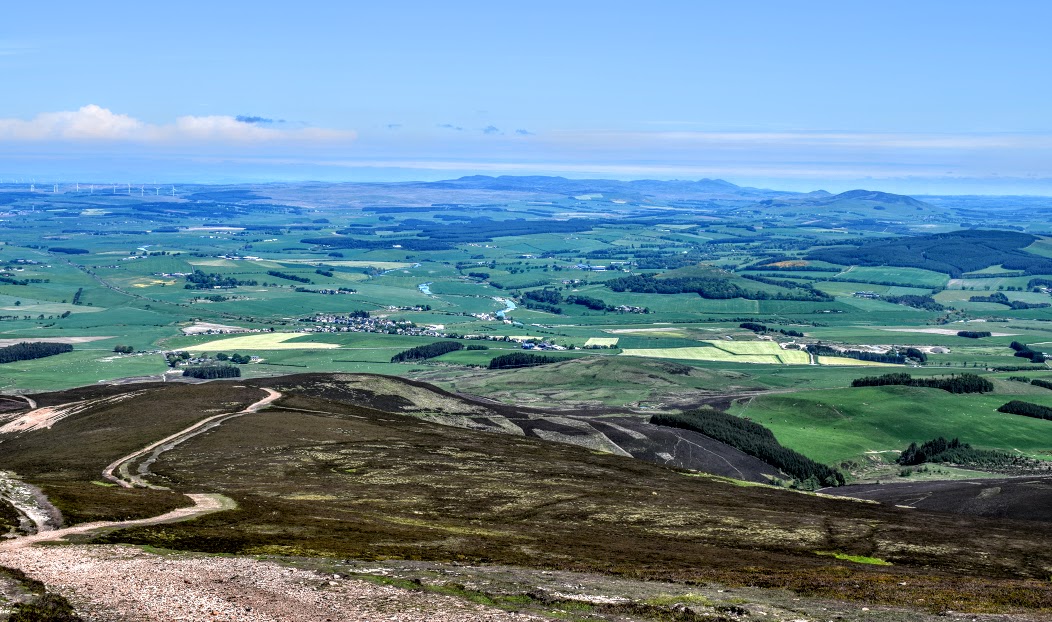
It was a gorgeous sunny day and I was able to ascend in t-shirt all the way to the top. Admittedly it became much chillier up there with quite a breeze blowing, so I didn’t spend much time there. I was passed by a few other people on the hill today but all in all it was pretty quiet which I liked. I also enjoyed the safety aspect of the path being super obvious, mega wide and straight to the top, meaning that I felt confident in terms of navigation. Having said that, as a result it wasn’t the most exciting climb I have ever done but I supposed you can’t have it all ways! Also from start to end the path is made up of loose broken stones which on the steeper sections makes the going pretty tough. In some areas small earth footpaths have started to form to the side of the main track, probably as a result of people attempting to make the going a little easier. Certainly on the way down I opted for that solution to avoid slipping on loose scree and falling on my rear end!
One thing struck me as I approached the summit and was beaten to the top by a runner (Tinto is well-known for the Tinto Hill race and therefore many people run up it throughout the year). From my position down below I could see him pause at the top just long enough to get his phone out and take a few selfies then start heading back down 🙂 I had a giggle while I reflected on my childhood weekends in the hills when one relied upon asking someone else to take your photo before winding the camera on and taking the spool into Boots to be developed the next day in order to see whether it had turned out or not. In those days the notion of taking a selfie was non existent: Technology has come a long way!
