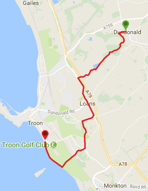
![]() Car parking available at Dundonald Castle Visitor Centre (KA2 9HD). We also left a car in Troon South Beach Esplanade car park (KA10 7LE) which was waiting for us at the end of the walk. If using public transport there are local bus services between Troon and Dundonald.
Car parking available at Dundonald Castle Visitor Centre (KA2 9HD). We also left a car in Troon South Beach Esplanade car park (KA10 7LE) which was waiting for us at the end of the walk. If using public transport there are local bus services between Troon and Dundonald.
View full route description
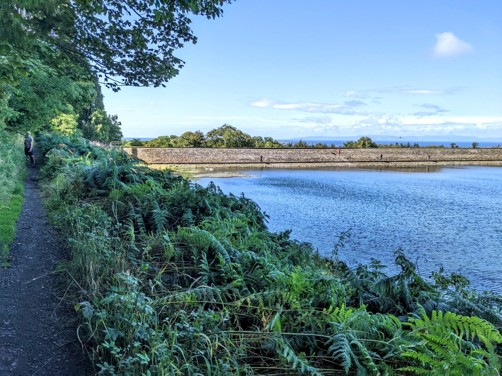
From Dundonald Castle Visitor Centre follow the footpath which goes West from the information board, passing a kids play park on your right-hand side. Ignore paths on your right leading into a residential area 250m along. Once in the woods you will cross a footbridge and arrive at a 3-way crossroads. Take the path on your left (South East). Note the short wooden marker posts with green arrow discs on them – follow these to stay on the Smuggler’s Trail. When you reach an obvious fork 700m along, turn left (South East). Almost immediately turn right (South West) as indicated by a marker post. A further 300m along ignore a path on your left, instead continuing South West for a further 600m to the edge of a reservoir. Continuing ahead with the reservoir on your right-hand side, the path turns to the right (North West) when you reach the far end of the reservoir and follows the line of a wall for a short distance before you turn left (South West) to pick up a track passing a disused quarry. Keep left (South West) at a fork, to walk along a minor road which passes a cluster of houses and farms, before leading you over A78/Troon bypass via a footbridge and onto A759. Turn left (South East) and use the roadside pavement to reach the village of Loans. At a roundabout continue ahead (South East) onto B746 / Main Street. This section lasts for 1.8km. Turn right (South West) down a farm track (there is a Smuggler’s Trail way marker). After only 160m when you reach a gate turn right to walk along a narrow path alongside a field. The Darley Burn will be on your left-hand side and after 360m you will reach a footbridge on your left. Cross the bridge and turn right (West) as indicated by the way marker. You will reach a surfaced road where you turn left (South). This tree-lined tarmac road continues South for approx 860m through Fullarton Woods, past the toilet block and car park and Rugby Club. The surfaced road turns into a gravel track which you should follow, still South, for 420m. Turn right (West) to pass the entrance to Crosbie Cemetery. The path disappears here. Cut across the grass and take care crossing Monktonhill Road to pick up a track clearly visible heading into the trees at the other side. This section can be very muddy. After 420m you will come to a gate and the B749/Southwood Road. Cross the road carefully and again the onward route is clearly visible straight ahead. You will emerge onto the Prestwick-Troon cycle track – turn left (South) then use the ramp to access the footbridge over the railway line and on to Royal Troon Golf Course. The right of way across the golf course lasts for 600m in a South West direction. Continue ahead to go over the top of the sand dues to arrive onto Troon Beach. Turn right (North West) on the beach and walk along the coastline. After approx 1.4km use the wooden steps to leave the beach and reach Troon South Beach Esplanade car park just off the promenade.
WALK REPORT: 31st Aug 2016 AND 25th Aug 2022
My mum asked me about doing the Smugglers Trail in March of 2016 shortly after I completed the Prestwick to Troon coastal walk. I had seen way markers for the trail that day and had wondered what it was so it was good timing on my mum’s part!
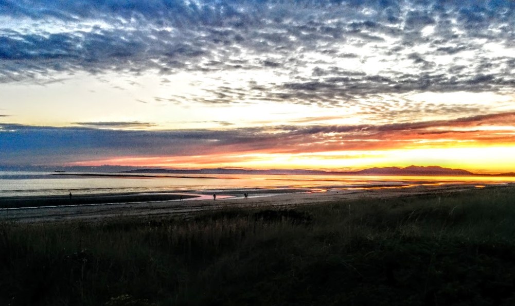
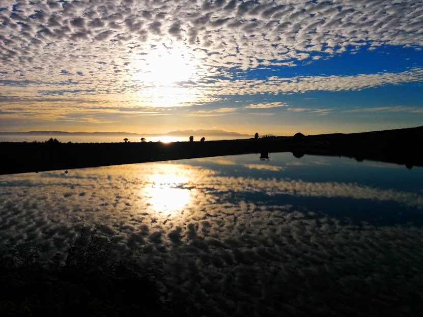
I went on to do one half of the Smugglers Trail (Dundonald to Loans) with a friend in May and finally in August, 5 months after it was originally suggested, got around to walking the full route with my mum. We got a brilliant night for it weather-wise, one of the things I had been waiting for: the sunset behind Arran was just magnificent.
I then walked the route many times over the course of the next 6 years, most recently in August 2022 with my friend and former colleage Pernille. The aim that time was to take some updated photos of the trail for this post.
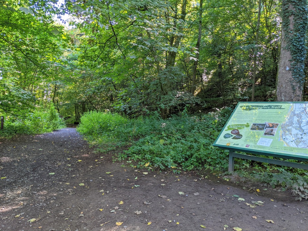
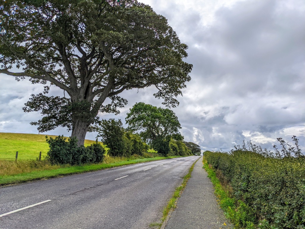
The first part of the walk is through the beautiful ancient woodland beneath Dundonald Castle. In fact it is a Site of Special Scientific Interest (SSSI).
In the springtime your senses will be treated to the scent of wild garlic and a carpet of bluebells. In the summer the woods come alive with wild flowers and in the autumn keep a look out for fungi.
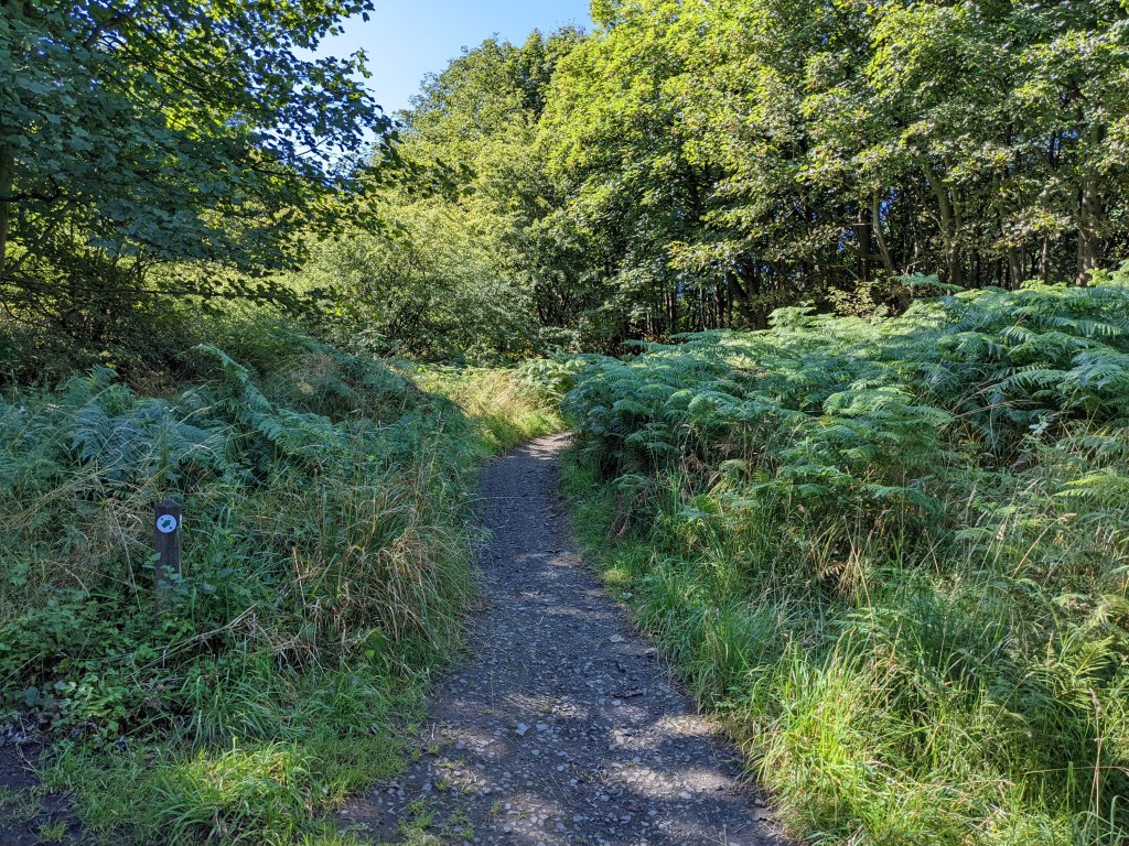
This section can be very muddy at times and although there are marker posts for the Smuggler’s Trail – installed by local not-for-profit group South Ayrshire Paths Initiative (SAPI) – they can become hidden behind the vegetation in summer months. So my advice is to download the map and use the route description provided above to stay on track.
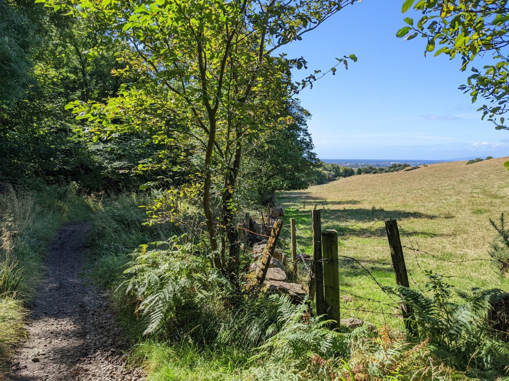
There are also some fairly steep uphill sections in the woods…. it may be a low level walk but it is definitely not a flat one, not this first half anyway!
We came across some interesting features along the way including wild mushrooms and a quarry. You can also catch a glimpse of Dundonald Castle off to the left if you are paying attention…. the last time you will see it on the walk (the first being right at the start).

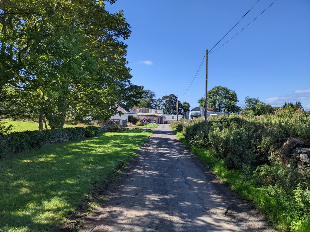
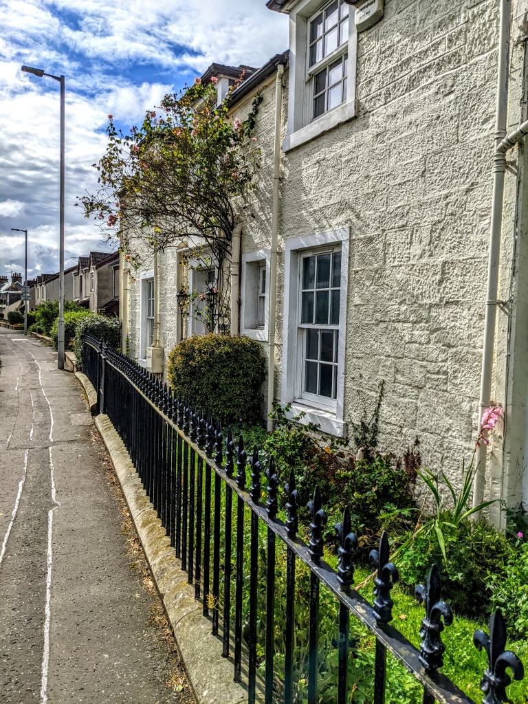
On emerging from the woods we walked through a small hamlet and across the A78 (don’t worry there is a bridge!). There was then a long-ish section along the A759 into and through the village of Loans. I will admit that I didn’t much enjoy the walk along the A759: traffic was moving past at speed and in the summertime the hedge can sometimes be overgrown, narrowing the pavement and forcing you to walk close to the road. The village of Loans itself is very pretty and when I walked the route again in 2022 with my friend we stopped in at the Old Loans Inn for coffees – highly recommended!
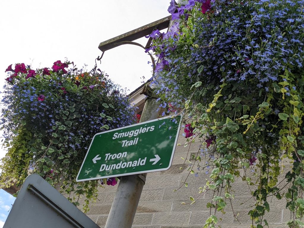
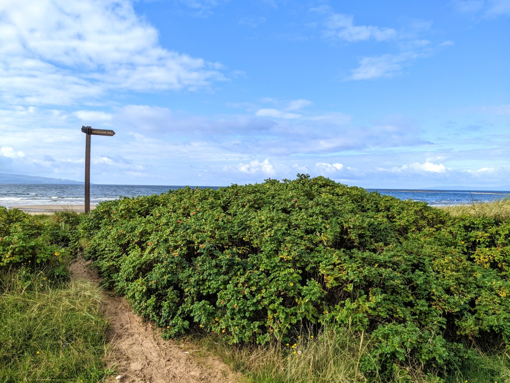
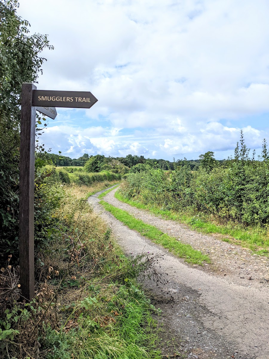
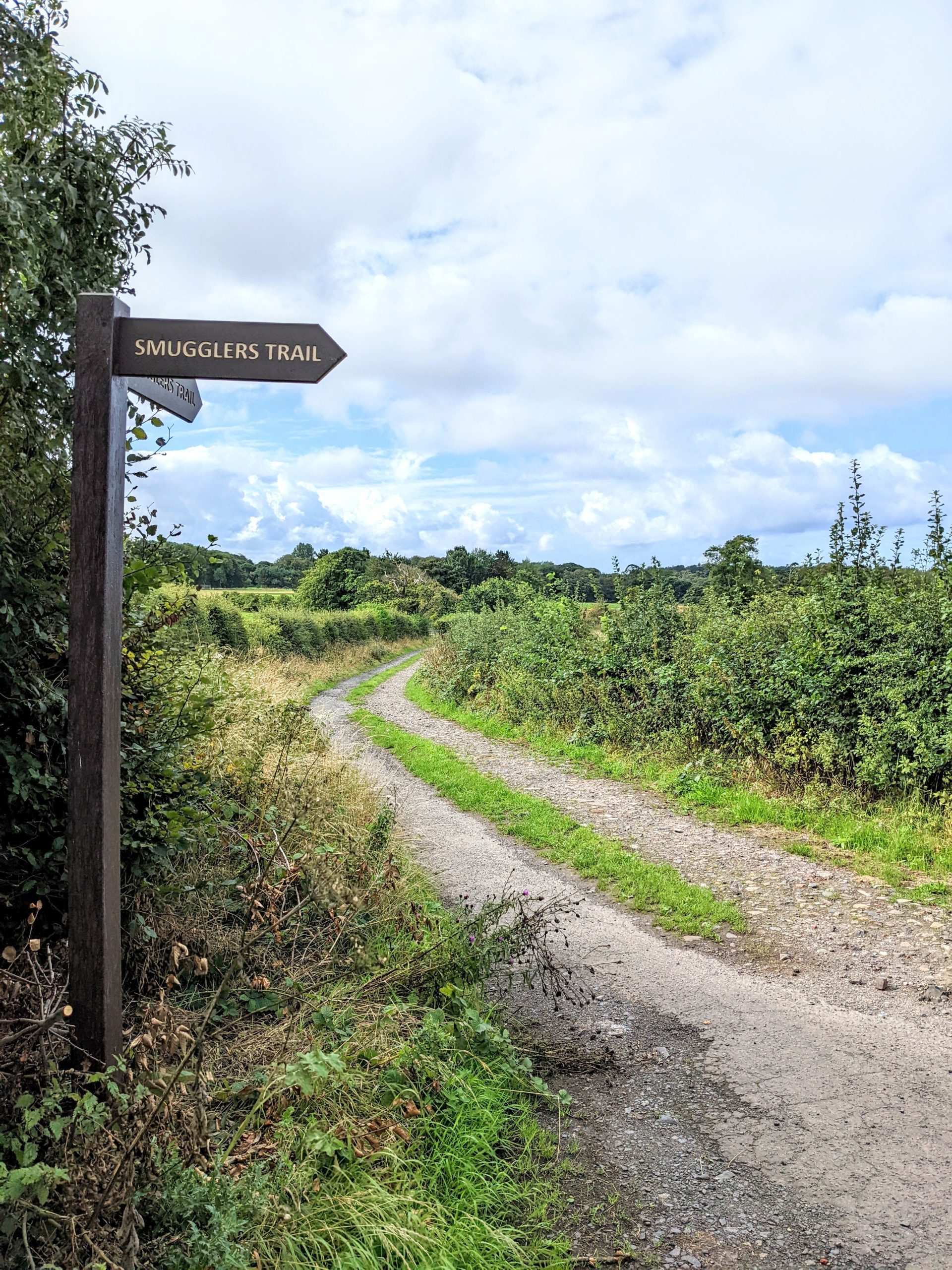
The first time I walked this route I was a little anxious about finding where the right turn off the main road would be: on my map the road didn’t exist but the websites I had used for research assured me that there was one! I did find it quite easily, although there was no marker post so I wasn’t 100% sure until I went along it whether it was the right way or not. Since then SAPI have installed wonderful new can’t-miss-them finger posts as you can see below.
The signage for the Smugglers Trail becomes much better from here on in. I am not sure why, it’s almost as though there are different organisations responsible for each half and those in charge at the Troon side have done a better job at marking the route than their friends in Dundonald. Or maybe these large finger posts would spoil the woodland section hence the short wooden posts used there instead…
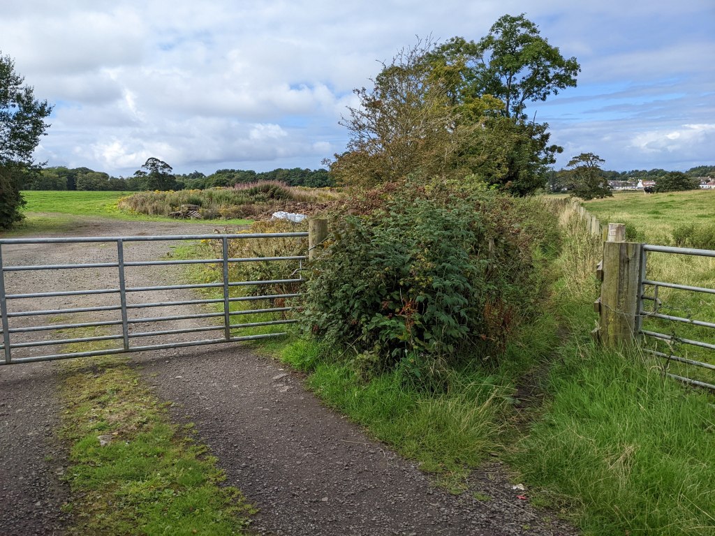
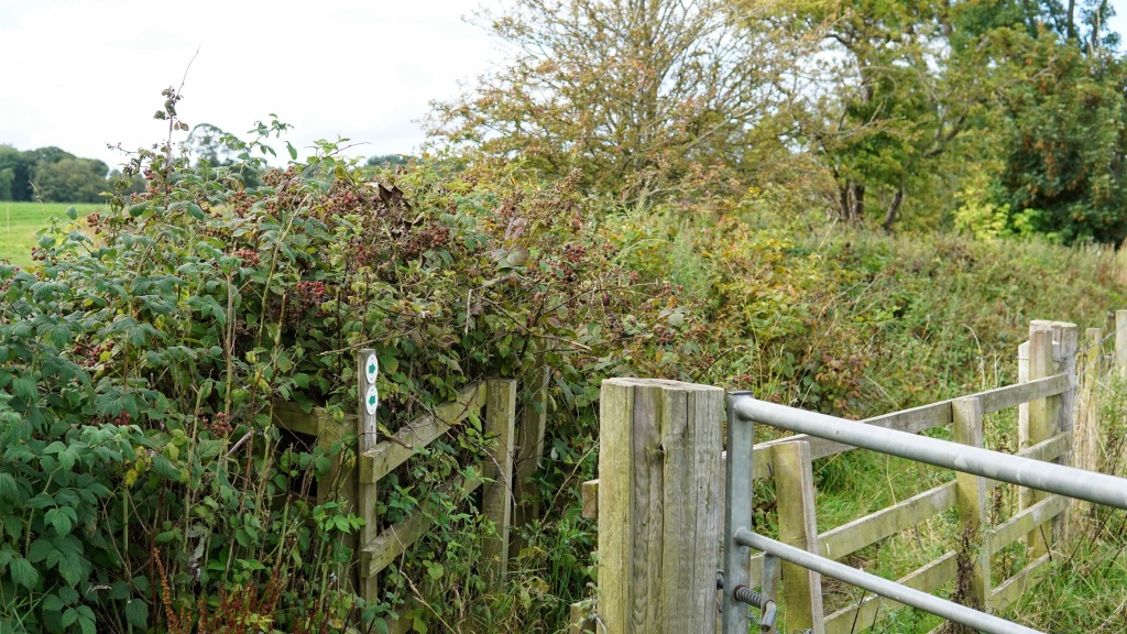
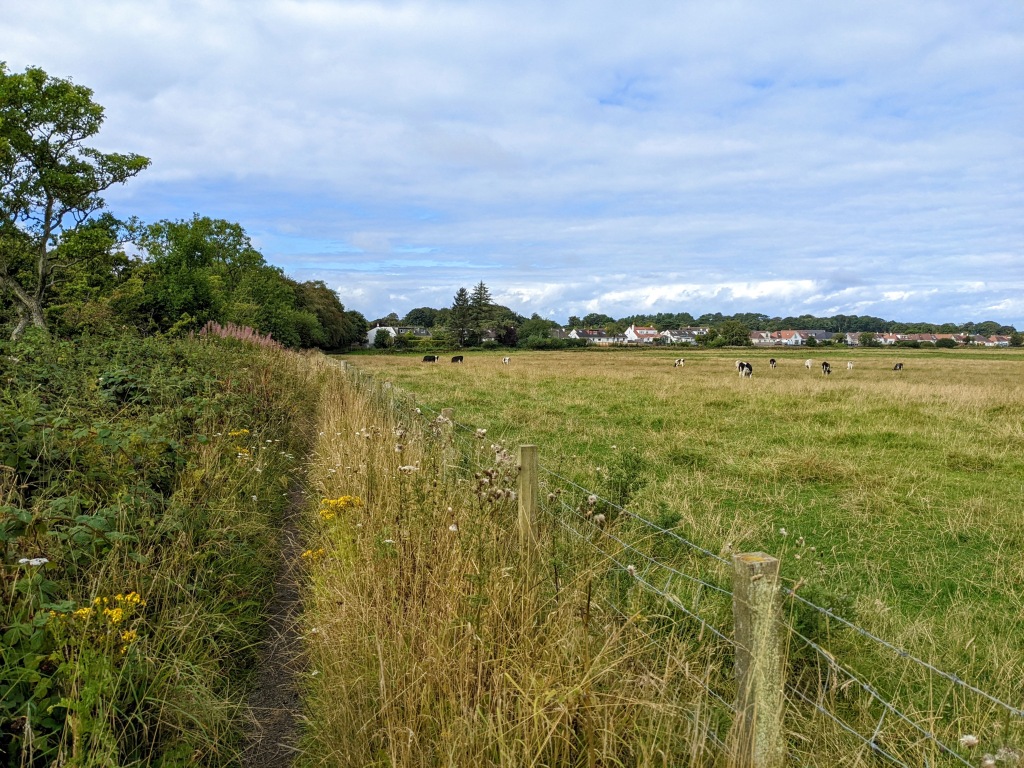
The track led us down to a gate where we turned right along a field edge. This narrow track can become a little overgrown in the summer. It is a lovely escape from the hustle and bustle of the A759 though and we were treated to beautiful views across the fields full of cattle.
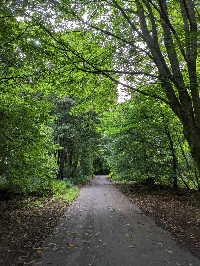
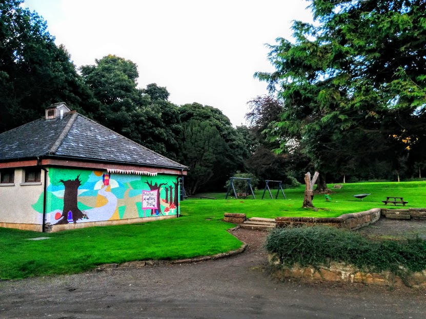
Crossing a footbridge took us into Fullarton Woods. I had been to this area before to visit the Fairy Trail with the kids, but had never walked in from this side. We were delighted to find the loos at the play park still open and duly made use of them before continuing 🙂
There were a couple of busier roads to cross after this section, each road joined by a gravel track.
It was starting to get dark by now the night we did the walk and going through the trees it was particularly hard to see. I even had to use the torch on my mobile at one point which seems to be becoming a bit of a habit when out with my mother (last used to go through a dark smelly tunnel on a recent Kilmarnock walk!)
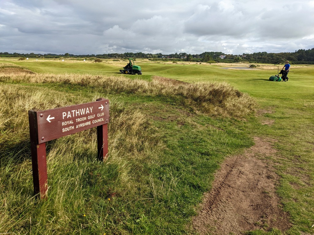
Once through this short section the countryside opened up before us and from the high vantage point of the railway bridge we were rewarded with stunning views across Royal Troon Golf Course and onwards to the Isle of Arran.
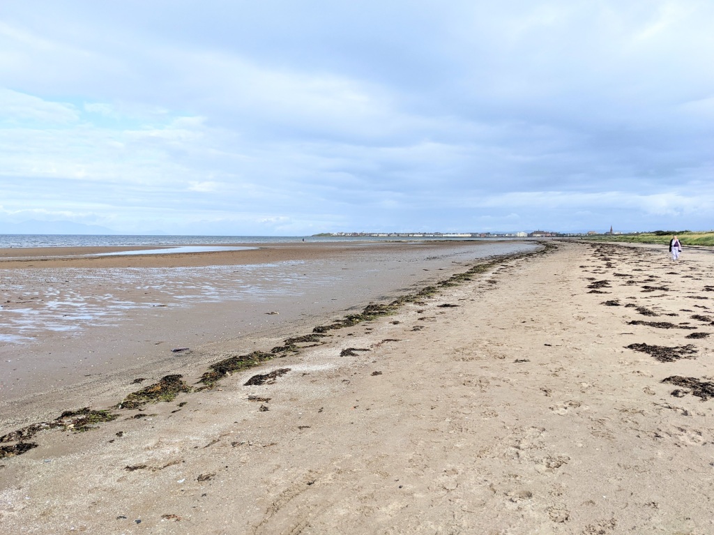
The right of way took us straight across the extremely well-maintained golf course towards the beach.
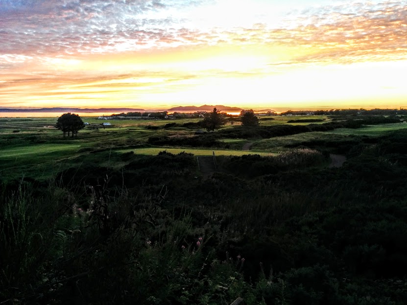

As we approached the beach we could see marker posts pointing to the right behind the sand dunes. It was very overgrown and looked like it would be hard going so we decided to walk along the beach instead. It turned out to be the right choice because the sunset was stunning and we’d have missed it down behind the dunes!
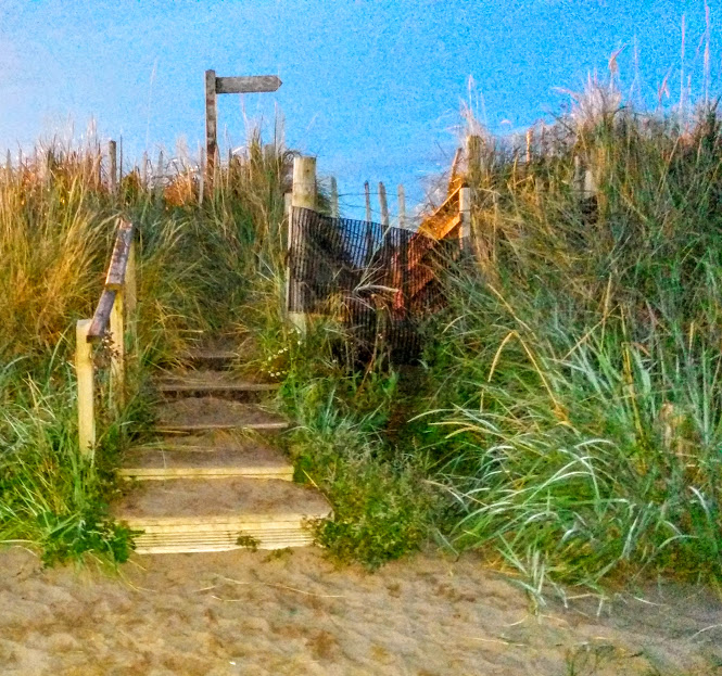
As you approach Troon, look out for a set of wooden steps up over the sea wall which take you off the beach and onto the promenade to Toon South Beach Esplanade car park. You will find another Smuggler’s Trail information board in the car park. If you have a car parked here, that’s you done. If you’re heading for the train, continue along the esplanade – the station is well signposted.