![]() Dog-friendly walk
Dog-friendly walk
![]() Car park off Randoldcoup Road, Darvel (KA17 0JU). Bus services from Kilmarnock stop on A71/East Main Street, a couple of minutes walk from the start point.
Car park off Randoldcoup Road, Darvel (KA17 0JU). Bus services from Kilmarnock stop on A71/East Main Street, a couple of minutes walk from the start point.
View full route description
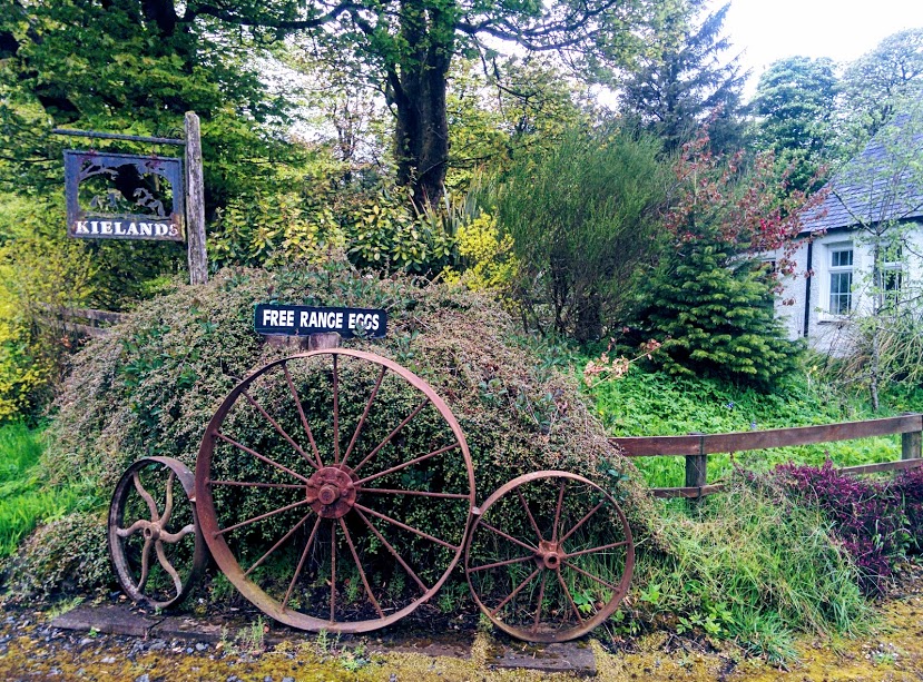
From the car park head onto Randoldcoup Road and turn left. After crossing the River Irvine take the road on your left (singposted ‘Priestland‘). Follow this road – known locally as ‘The Bankers’ – as it heads steadily uphill then out onto open hillside. After crossing the bridge over Logan’s Burn turn right onto an earth track which runs alongside the burn to emerge at a minor road. Turn right and continue uphill on this road for 2 miles until you reach a crossroads at Kielands Farm. (Optional detour to the Darvel Mast: turn left here then return to this point – adds 1.5 miles to total route distance) Turn right to pass the front door of Kielands farmhouse and onto a gravel track. Follow this as it zig zags downhill for just over a mile. At the road-end turn left then immediately right to enter the Lanfine Estate. Follow signs for “Lanfine Deliveries”, which will take you through the Estate and down to an impressive stone bridge over Newlands Burn. Continue along this road to reach a set of gates leading to the Randoldcoup Bridge. Be sure to keep an eye out for the wild boar family en route! Continue straight onto Randoldcoup Road. The parking area is a short walk along on the right.
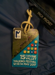
WALK REPORT: 13th May 2017
This was the second route I had chosen to walk with the Irvine Valley Walking Festival this year. During other walks in the area I had often seen the Darvel transmitter mast and was aware that you could walk to it, something that had been on my to-do list for a while now. I couldn’t wait to find out how to get there and what the views would be like!
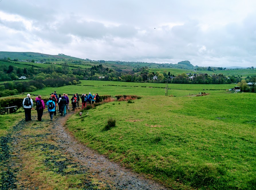
It was a slightly damp morning when we set off, a group of some 30 walkers. Another brilliant turn out for the festival: I was impressed, especially knowing that there were another five walks taking place at the same time. There was a good range of ages and despite being the youngest I quickly found myself being overtaken! In my experience the pace generally tends to be slower when out with a group and that is what I had expected today but I seemed to have found myself with quite a fit bunch and even the uphill stretches couldn’t slow them down! I am certainly not complaining; I am known to walk quickly myself. The problem was more that I kept stopping to take photos and while my regular walking companions are used to it and wait for me, I could not expect a whole group of strangers to do the same.
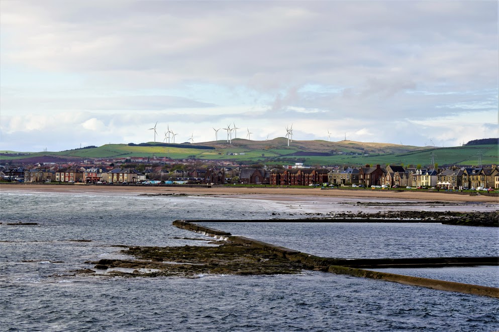
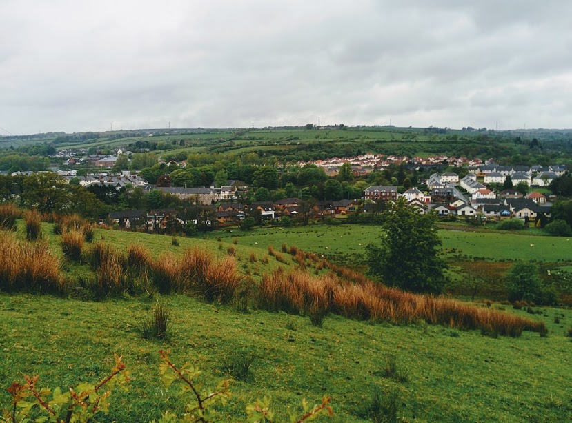
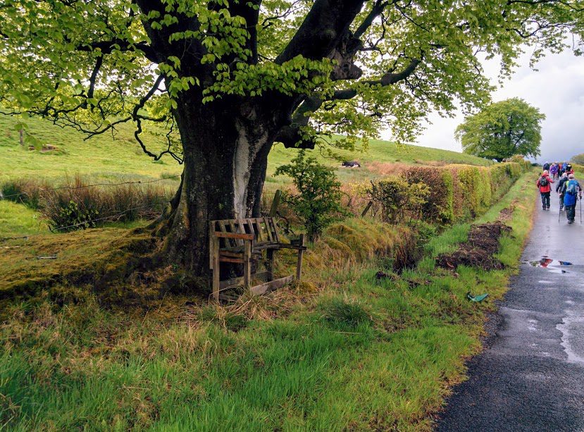
The first section of this route was very enjoyable and pretty much straight away I decided that I would be back another time to do it again. The views across Darvel and Priestland made the steady climb worthwhile and I loved being out in the open discovering a new place.
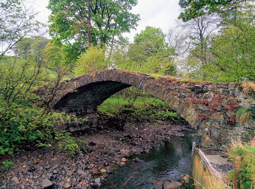
Depending what map I look at, this piece of water goes by the name of Logan’s Burn or the Gower Water. Perhaps it is both! In any case I simply LOVED the bridge across it. The stonework was beautiful but more interesting was the steep hump it formed on the road! Sadly it was washed away during flooding in 2019 and has been replaced by a *much* less-pretty alternative.
After passing through a small woodland alongside the burn (with midges making an appearance thanks to the warm damp weather), the next section of the walk was along quiet back roads which wound their way steadily up the hillside. Again we were rewarded with fine views down towards Darvel.
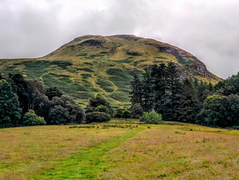
Now, I mentioned earlier that I had chosen this walk specifically due to my eagerness to see the mast and the view therefrom. Imagine my disappointment therefore when we reached Kielands Farm and turned off in the opposite direction 😮 What?! Surely ‘roon the mast’ means we walk to the actual mast, right? Not today folks! We didn’t so much as see the mast at all. A fellow walker pointed out what road I should follow should I wish to walk to it and so I made a mental note to return another day to do exactly that. To avoid you experiencing the same disappointment I have been careful to include an optional detour in my route description and downloadable map above. You’re welcome 😉 Do note that there is no real view to speak of from the mast itself, since the base of it sits in a bit of a dip in the land, however there are nice views as you walk down to it and it is still definitely worth a nosey. It only adds a mile and a half on to your day.
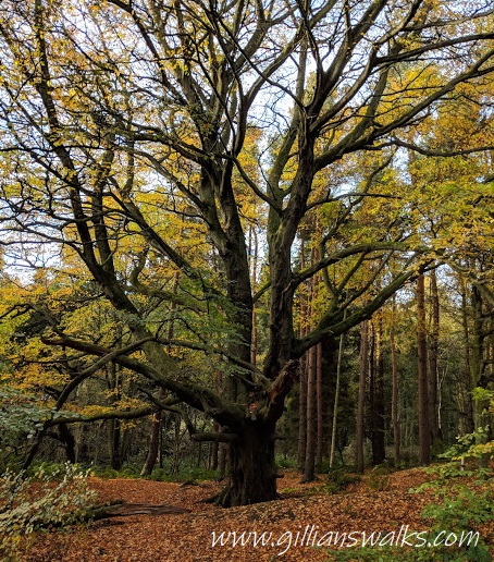
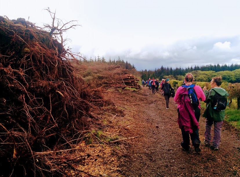
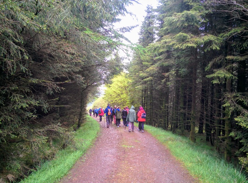
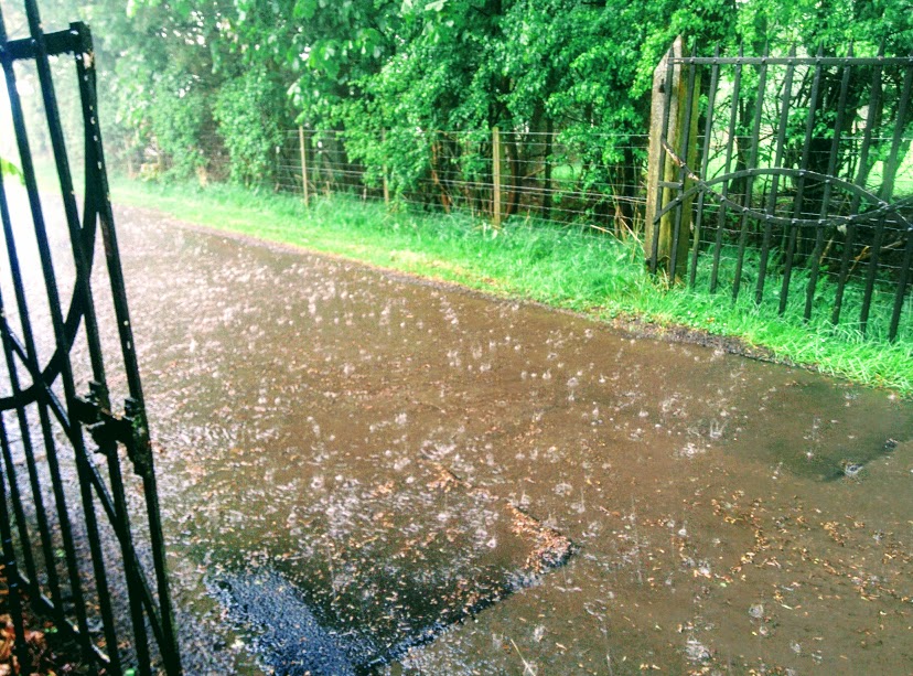
We found a nice spot to stop for lunch just at the entrance to an area of forestry. Fortunately the rain waited until we were ready to press on before it started, because it ended up being the heaviest rain I have ever walked in. A true downpour!! Drops were literally pelting off my hood and within minutes everyone was completely soaked through despite being in full waterproofs. On entering Lanfine Estate from where there were several route options, a decision was taken to cut the walk down from 8 miles to 6 since there seemed to be no sign of the torrent lessening. It was a shame that I was unable to take any photos inside Lanfine due to the rain, it really is a stunning area of woodland. Take a peek at my Lanfine walk report if you’d like to see some photos.
I will certainly be returning to this walk in the future and will take a detour out to the mast when I do. I met some great people today and left feeling so fortunate to have the Irvine Valley Path Network on my doorstep. If you live locally and have never been along to this annual walking festival then I can highly recommend it. It is always very well organised with around 14 different walks to choose from over 3 days. I will be back next year for sure (and may even be leading one of the walks 😉 …. watch this space )
If you enjoyed this you may also like my other Irvine Valley Routes