![]() Suggested parking area: Central Car Park, Heads Road, Keswick (CA12 5DN)
Suggested parking area: Central Car Park, Heads Road, Keswick (CA12 5DN)
View full route description
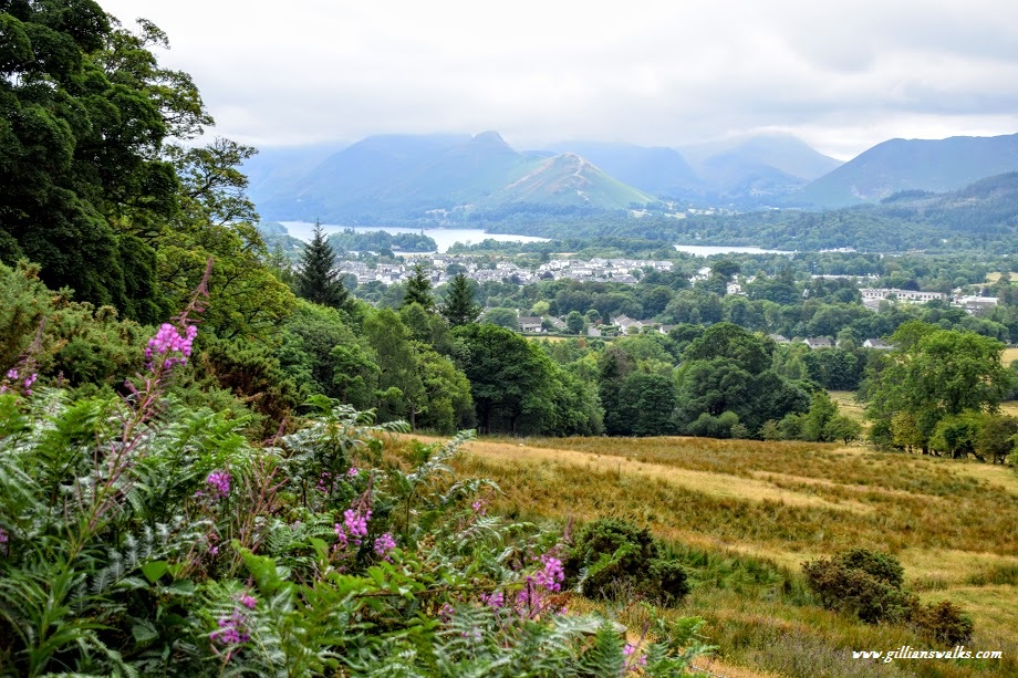
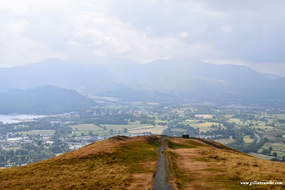
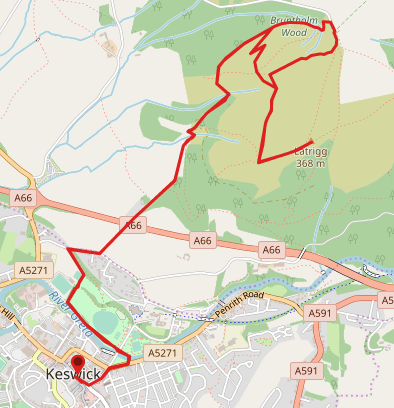
From Keswick Tourist Information Office, head South East along St John’s Street, turning first left (North East) onto Station Street. At the end of Station Street turn right (East) onto Penrith Road/A5271. You will see a bridge over the river ahead to the left. Cross the road carefully and walk across the footbridge into Fitz Park. Turn left (West) and follow the riverside path. The river should be on your left-hand side. 500m along, look out for a sign for the BMX track. Turn right (North) here. After passing the football clubhouse and BMX track turn left (North West) to reach Brundholme Road. Turn right (East) and walk along the road, turning first left (North East) onto Spoonygreen Lane, signposted ‘Public Bridleway, Skiddaw 4 miles‘. The track follows the Cumbria Way uphill into Lattrig Woods followed by Bruntholm Woods and around the side of the hill. Ignore any footpaths to the right, including one with a marker post indicating the route to Lattrig summit at 265m elevation (you will come back down that way). After walking on the Cumbria Way for 2km you will arrive at a minor road. Turn right (South East) and walk through a small parking area. At the far end of the parking area go through a gate on your right signposted ‘Limited Mobility Path, Lattrig Viewpoint‘. The footpath contours the hillside, ascending gently to a bench at a fine viewpoint. The summit is 300m further along the path at 368m elevation, however is unmarked. To return, retrace your steps to the bench and for another 400m to a fork. Look out for a finger post pointing left which says ‘Public Footpath‘. Turn left (North West) and follow the path downhill. At a crossroads continue ahead (North West). The path zig zags down to re-join your uphill route at the Lattrig summit marker post which you passed earlier. Turn left (South West) and retrace your steps back to Keswick Tourist Information Office.
WALK REPORT: 13TH JULY 2018
