TERRAIN: Walk graded moderate. Sandy beach, roadside pavements, country roads and farm tracks which are sometimes boggy. This is a fairly undulating route. Several gate – all can be opened.
![]() Parking at North Shore, Ardrossan. If travelling by public transport, Ardrossan Town Train Station is approx 1.4 miles from Montfode Roundabout, so I suggest starting the walk from there. Local bus service stops near the Waterside Hotel, just over a mile from the walk start point.
Parking at North Shore, Ardrossan. If travelling by public transport, Ardrossan Town Train Station is approx 1.4 miles from Montfode Roundabout, so I suggest starting the walk from there. Local bus service stops near the Waterside Hotel, just over a mile from the walk start point.
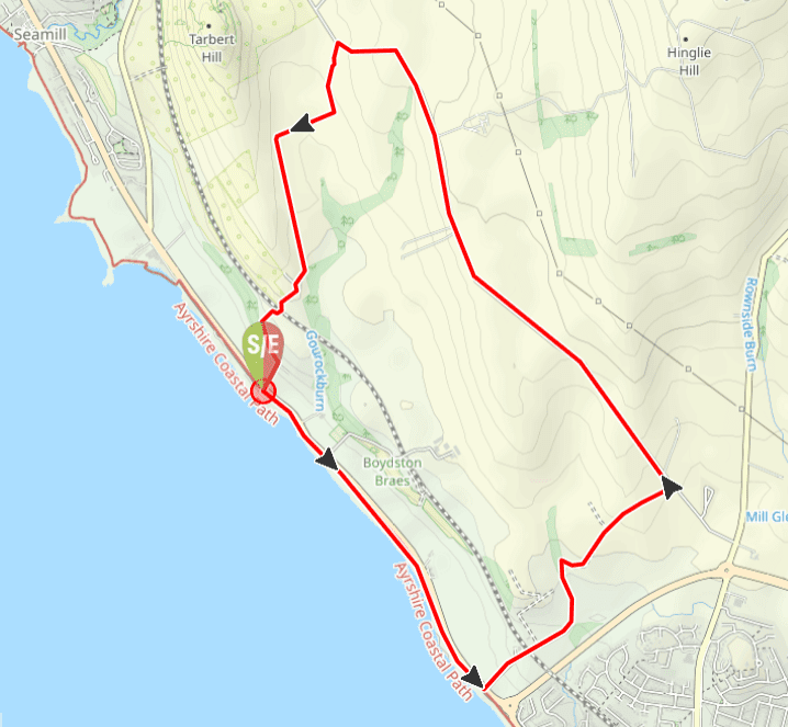
View Full Route Description
From the car park go down onto the beach and turn left (SE) to walk along the sand until you are almost in line with the Montfode roundabout on the main road. [Note if there is a very high tide use the cycle path on A78 instead of the beach].
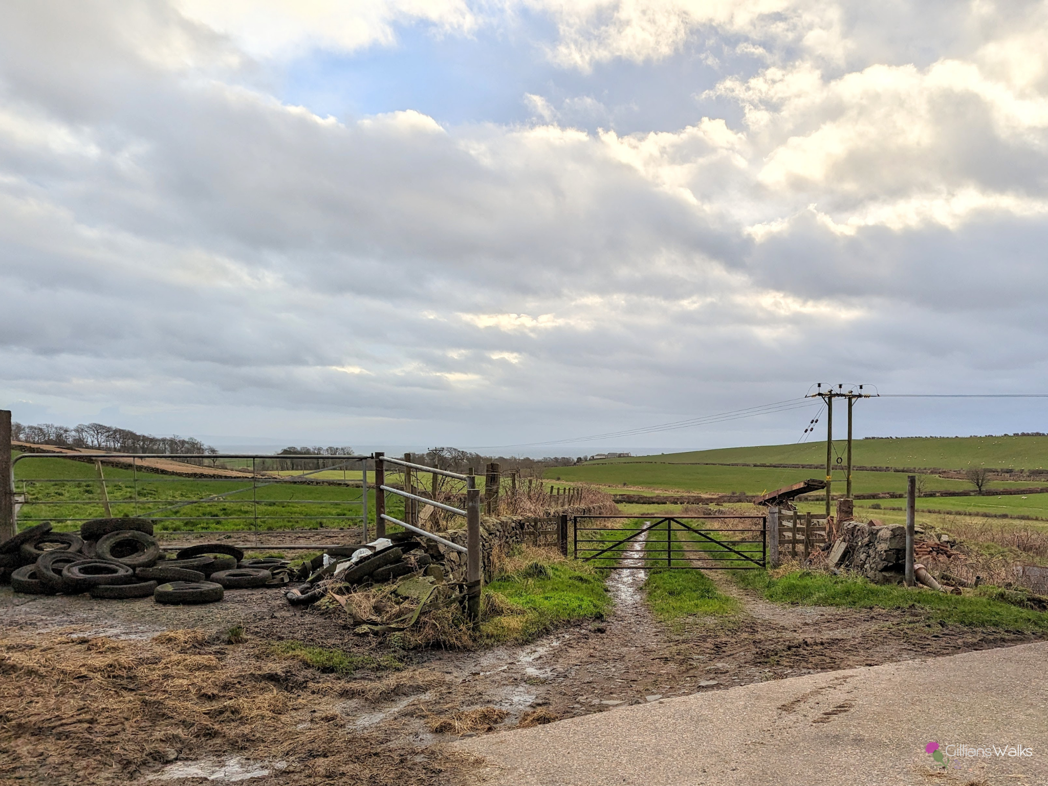
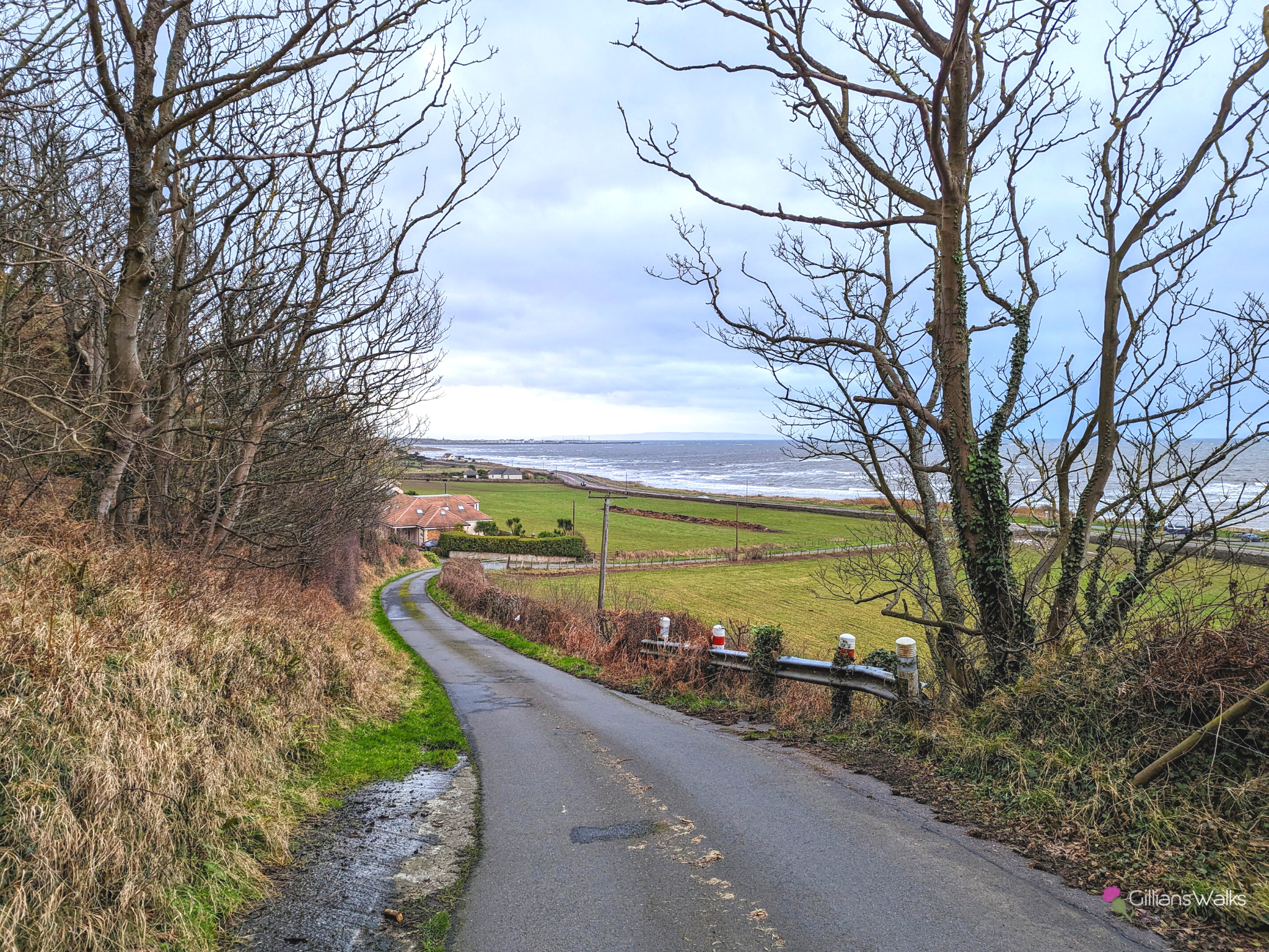
Just north of the Montfode Roundabout, carefully cross the A78 onto a single track road leading uphill between two fields. Continue to Montfode Farm and walk through the farmyard.
As you are leaving the farmyard, there are two roads ahead, one with a gate and one with a barrier – take the one on the right with the barrier. This pleasant track soon takes a sharp bend to the right before beginning to head uphill.
At the ruins of Townhead Farmstead continue straight ahead (NE). This leads on to Ardrossan High Road. Turn left and walk along Ardrossan High Road for 1.7 miles.
When you reach Meadowhead farm turn left. Walk straight through the farmyard towards a high wall, then through the gate on the right, leading onto farm tracks.
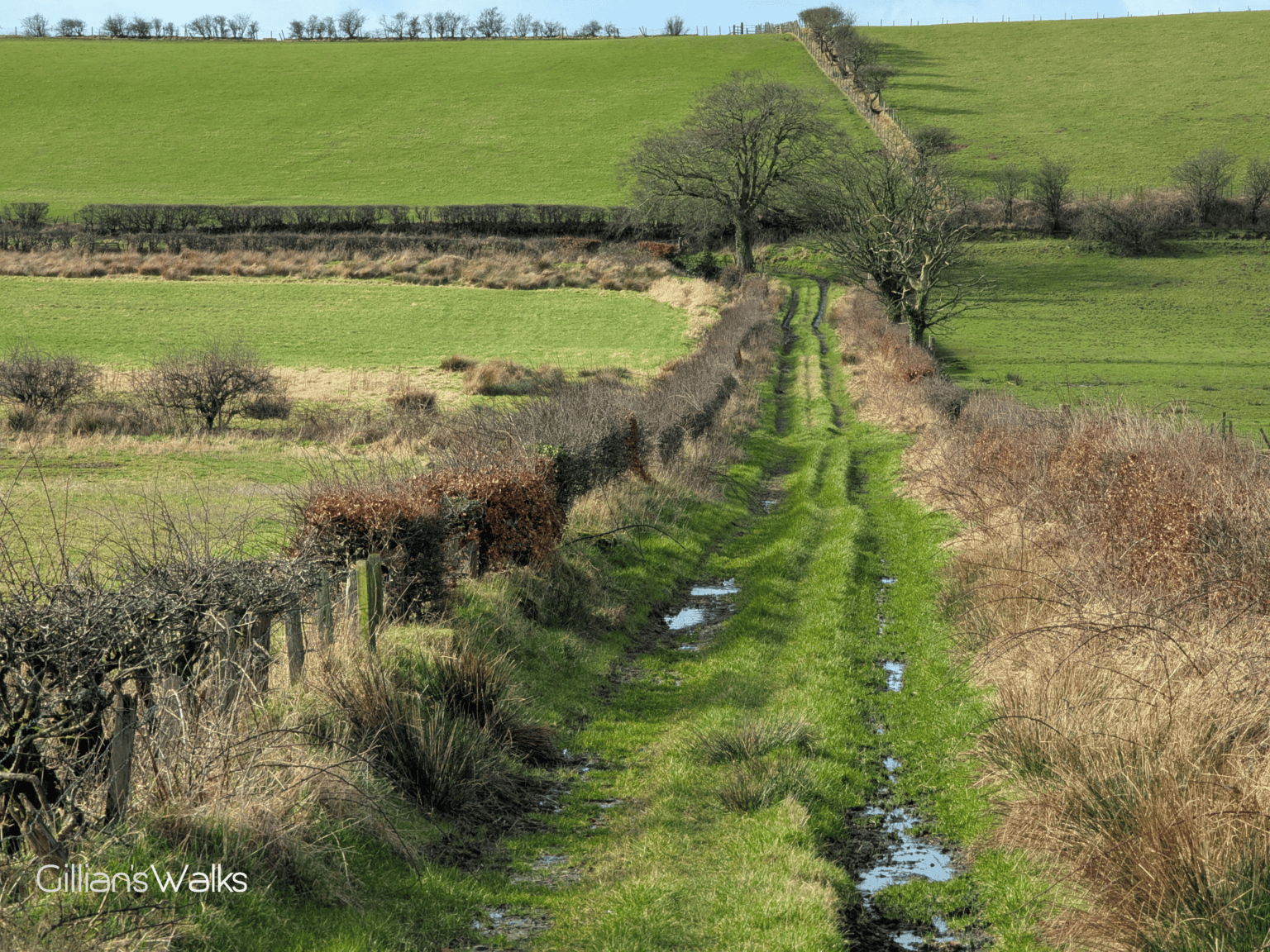
Follow the farm tracks, initially between two dry stone walls, then zig zagging right then left, emerging onto a surfaced road at Glenhead.
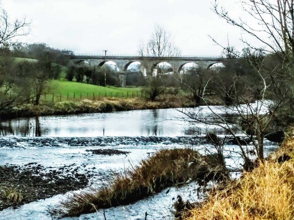
Follow the road over the railway bridge and down past Glenelg to a steep brae leading back to the A78. The car park is just across the road – take care crossing.
WALK REVIEW: 8th January 2023 and 3rd March 2025
Friends who live in Ardrossan suggested taking me along a route I’d never tried before, which of course I was well up for. I want to add more Ayrshire walks to my website this year and that area is as yet undiscovered by me with the exception of the beaches.
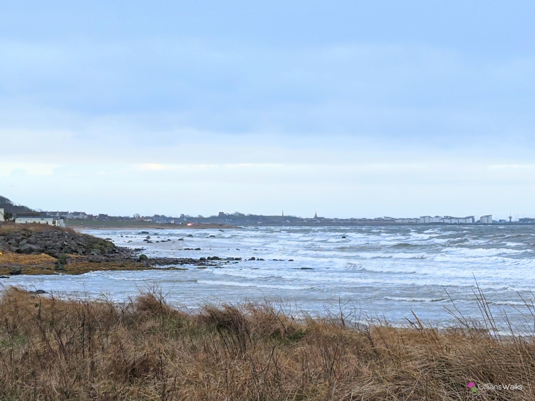
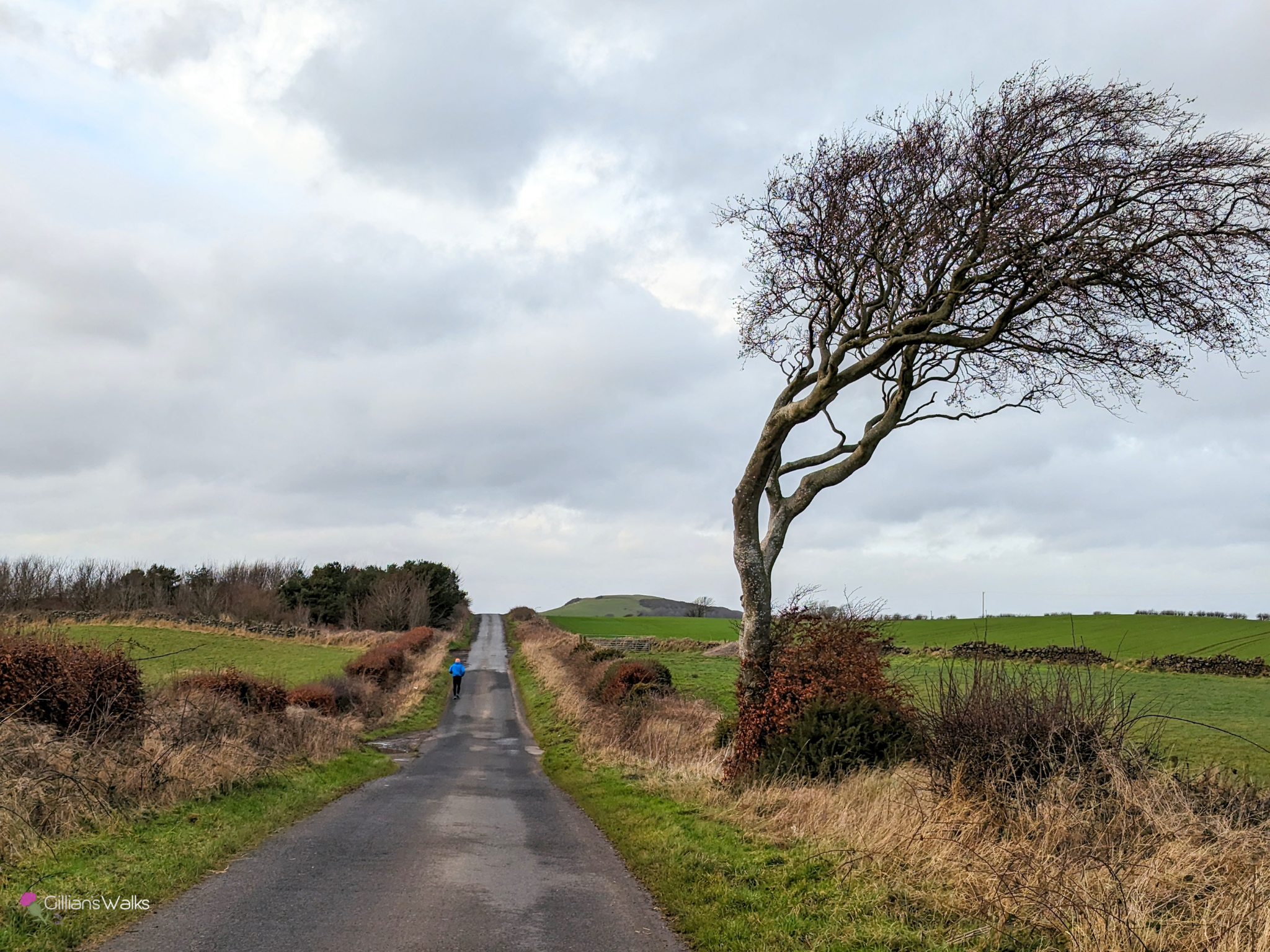
There was an exceptionally high tide on the day we walked this route which meant that we couldn’t walk on the beach. Instead we used the recently widened pavement/cycle path along the A78. The wind was strong and was blowing spray from the water onto our faces which was…. refreshing….. The route is very exposed on a wild day, both down here on the coast and also on the Ardrossan High Road.
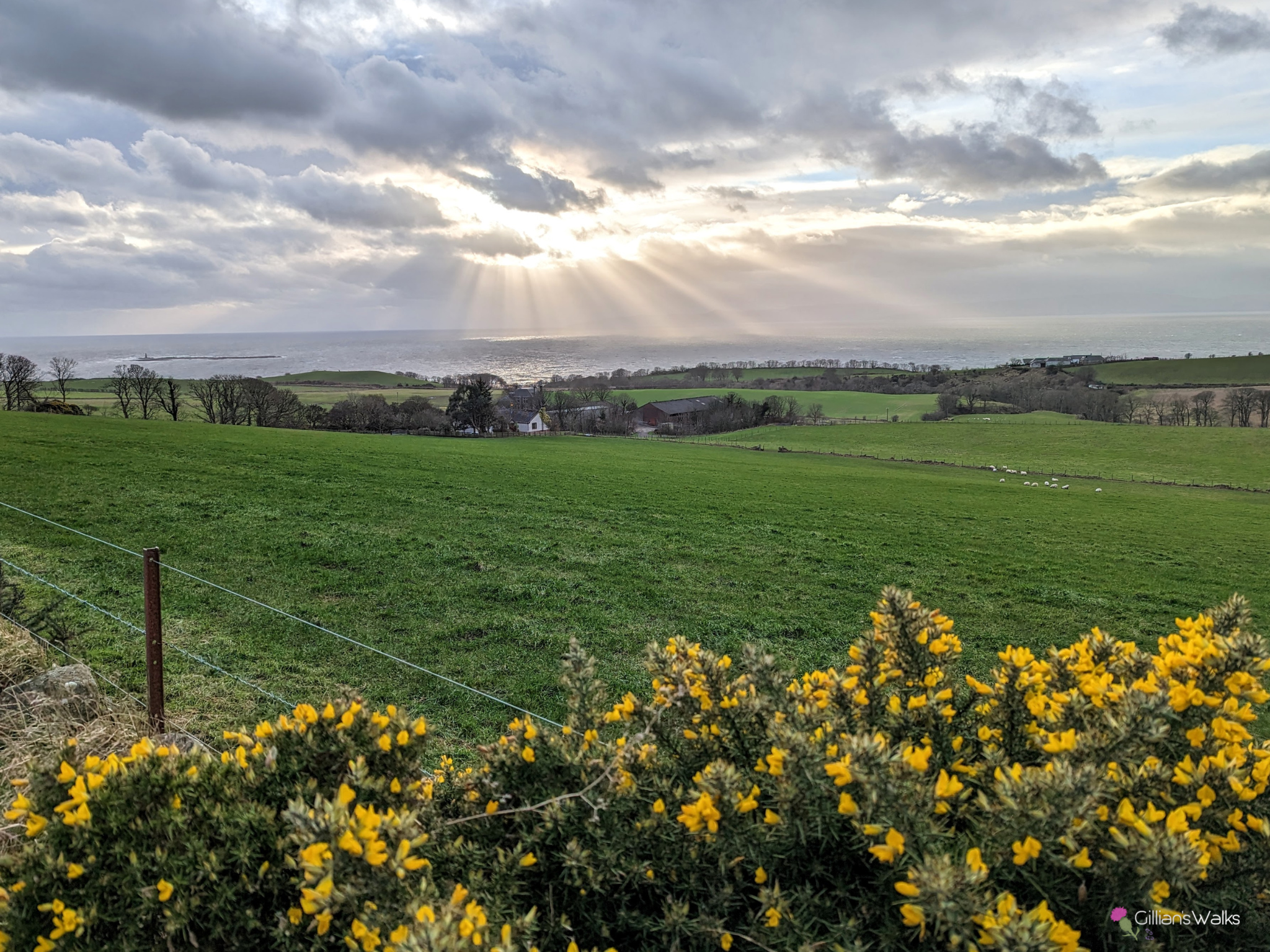
Heading up off the shore onto the Boydston Braes, the views soon started to open up as we climbed. There were so many horses in the fields up there!
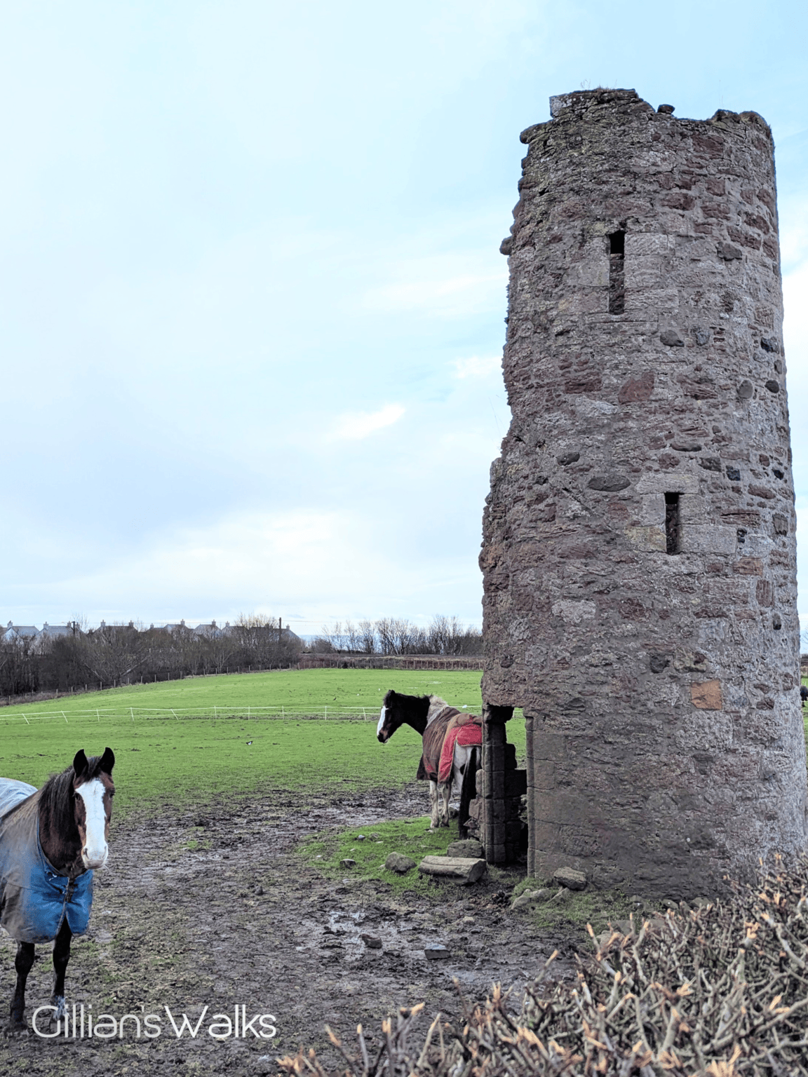
There were also some interesting features close to Montfode Farm: the ruins of a castle, well what’s left of it anyway – at one time Montfode, or Boydston Castle. The Montfodes were Normans who once held the land here. The story goes that a Boyd was killed by a Montfode, and as compensation the Boyds were given land at Montfode. This explains the dual-names up there: Boydston Shore, Boydston Braes, Boydston Farm, but also Montfode Farm, Montfode Roundabout, etc.
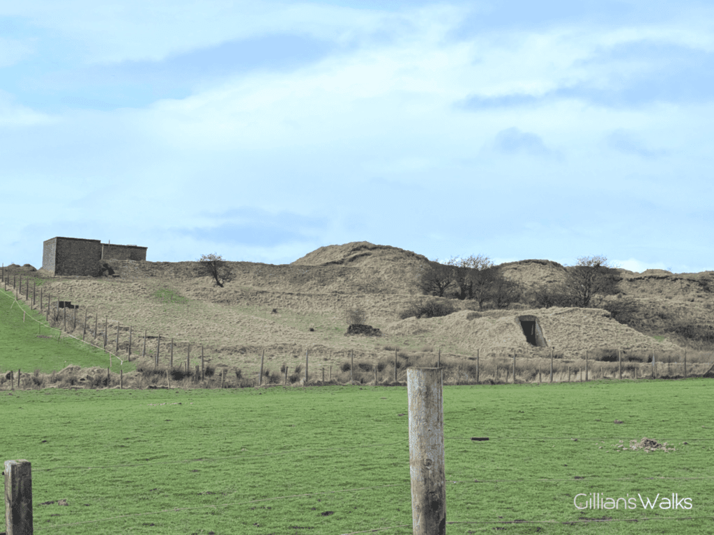
Then a little further along, the land to the left looked unusual. Unnatural. It looked like some sort of earthworks with tunnels and brick buildings dotted around… Researching once home I found out that that whole hillside was once a WWII fuel storage site! There was a refinery at Ardrossan Harbour, where aviation fuel was produced and used by the RAF. Moving some of the fuel to be stored in huge partially buried circular tanks up on the hillside was an effort to ensure continued supply in the event that the refinery was compromised. The tanks have been removed now, but if you have a look at aerial images of the hillside it is pretty impressive to see!
As you might expect with starting at sea level and walking along a “High Road”, there are a fair few hills on this route. Having done barely any exercise over the festive season it was a shock to the system when my friends set off at an astounding pace of 3 miles per hour – about double what had become my normal pace wandering around the local woods with my kids. They had a good solution for making the uphill sections feel less of a struggle: playing name games. One example was saying any girls names you could think of which are also the name of a tree/plant. It did work to be fair…. However I suggested that another solution would be to walk slower when going uphill 😀
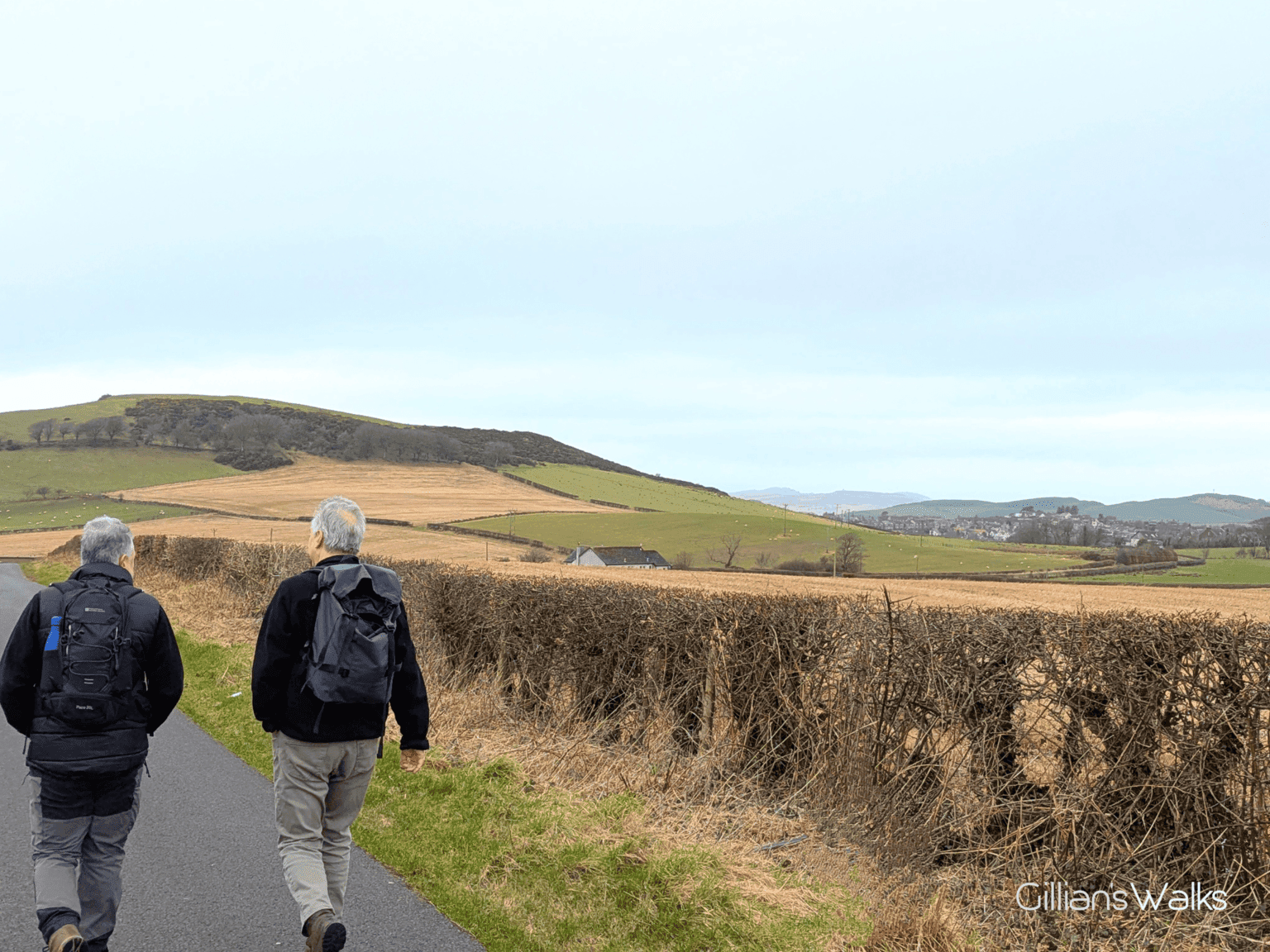
On reaching the farmland section at Meadowhead we had a conversation about how varied this walk is. As you start to tire of walking along the beach you are whisked off up the brae on quiet roads, passing some ruins, going through a farmyard and then out into open countryside. When your enthusiasm for that is beginning to wane you find yourself on a quiet country road (although admittedly when I was there most recently on a Monday morning this quiet road was busy with trucks, presumably coming and going from the D.W. Parker skip hire depot up there!) And just as you are wondering how much longer that goes on, hey presto you are zig zagging across grassy farm tracks. Ideal really!