 Start point: Cafe and Visitor Centre Courtyard, Eglinton Country Park, KA12 8TA
 End point: Cafe and Visitor Centre Courtyard, Eglinton Country Park, KA12 8TA
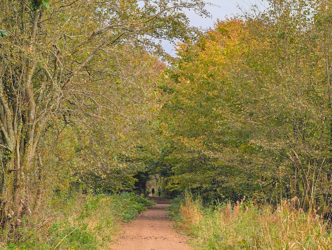
TERRAIN: Graded easy. A mixture of surfaced and natural (compacted whinstone or natural earth) paths. Two bridge crossings, both of which have wooden boardwalk-style surfaces. Many of the woodland trails can be muddy in places if it has rained recently and some have protruding tree routes and larger stones. The whole trail is level to gently undulating. No steps, gates or stiles.
 Dog-friendly route (note that there are usually sheep, cows or horses in the fields beside the route and Eglinton Country Park in general is popular for horse riding – please be a responsible dog owner)
 Buggy-friendly route (assuming your’s can cope with the terrain described)
 The easiest way to travel to Eglinton Country Park is by car. There are two free car parks on site. If using public transport the closest train station is in Kilwinning, 2 miles away. From there it is possible to cycle (approx 10 mins) or walk (approx 40 mins) or take a bus to Irvine Road/A737. From the bus stop the start point is approx half a mile /15 minutes away on foot. Eglinton Country Park is accessible by bike with good cycle parking onsite. It is located close to the National Cycle Network routes 7 and 73.
 There are toilet facilities at the Tournament Cafe and Visitor Centre during opening times.
View full route description
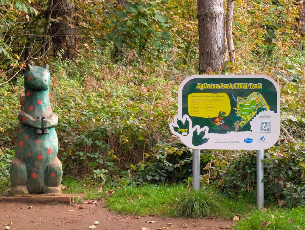
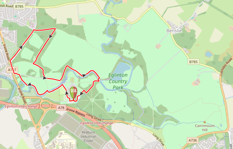
From the information/map board located just outside the cafe courtyard, walk through the wooden pergola towards the park’s main access road facing car park 1. Turn right along the roadside pavement and then turn right along the first path, heading past some picnic benches and a play park.
Continue ahead (signposted ‘Community Garden’) until you reach a path junction – turn left, signposted ‘Community Garden’. The Lugton Water is on your right. There are several benches along this stretch.
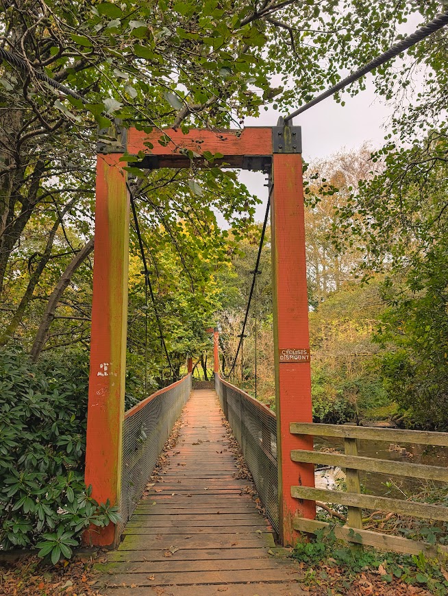
When you reach the suspension bridge turn right to cross over. Turn left along a natural earth path – this section can be muddy. A gentle uphill slope leads you to a road junction. You’ll find a map board here showing where you are on the walk.
Turn left along the roadside pavement, signposted ‘Kilwinning’. Take the second left along a lane which brings you back onto the road shortly after. Cross the minor road and continue along a wide surfaced pavement with the busy A737/Irvine Road to your left. Cross Bannoch Road (take care as visibility on the left is poor) – and then turn right just before the bus stop, re-entering Eglinton Country Park. This wide footpath continues for approx 600m to Weirston Road.
Turn right to pick up the footpath at the other side of the road (take care crossing). You’ll find another map board here updating you on your location. The path leads you through the woods and past Corsehill Early Years Outdoor Area. After approx 30m, at a crossroads, turn right. This section can be muddy.
When you reach a minor road turn left along a narrower path. The path becomes more uneven than previous, with some tree roots and larger stones to take care around, as well as some muddy patches.
When you reach a minor road turn left and walk along the roadside. When you reach a small parking area (before the bridge) turn left. This woodland trail soon emerges out of the trees into open countryside. You will pass the iconic Tournament Bridge.
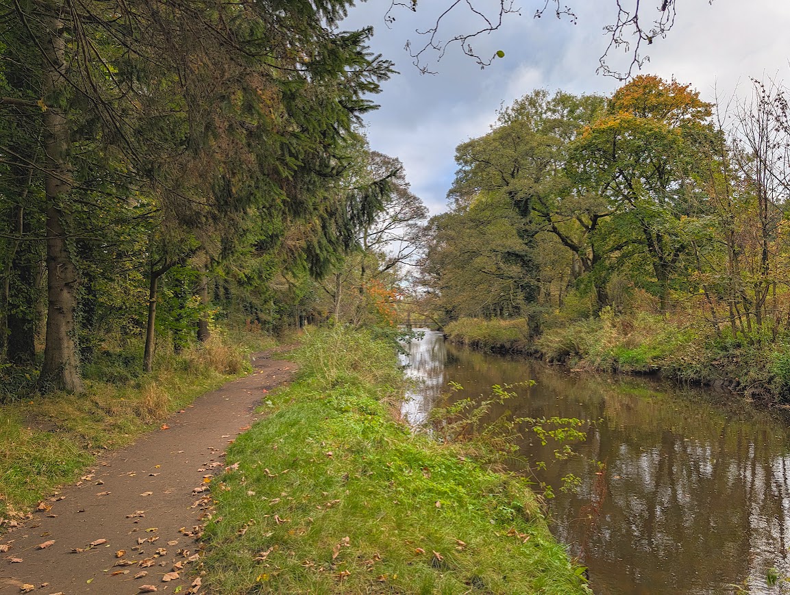
Do not cross the bridge, instead continue ahead, keeping the Lugton Water on your right-hand-side. There are some uneven surfaces to be aware of on this stretch as well as some muddy patches. Keep an eye out for willow sculptures and wildlife activity boards along the way.
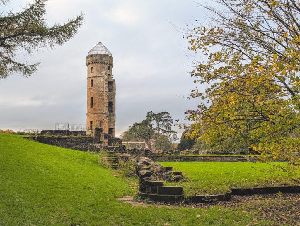
You will soon reach ‘Castle Bridge (Laundry Bridge)’. Turn right to cross its wooden platform. Enjoy the views to Eglinton Castle’s remains before turning left along the riverside for a few metres, turning right when you are in line with the old ford.
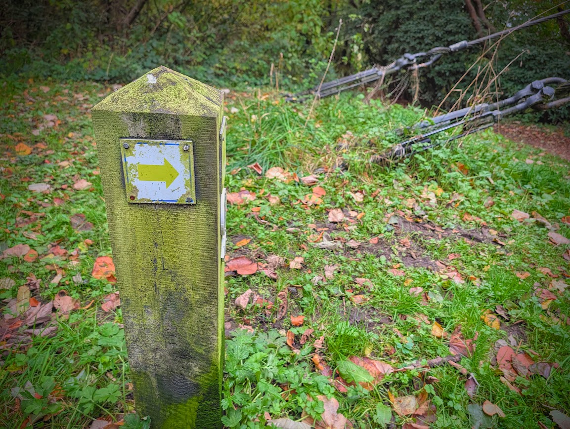
The path starts with an uphill slope before levelling out. There are two benches along the way. At the second bench turn right (look for the yellow arrow) and head downhill to a path junction. Turn left to reach car park 2. The cafe/courtyard can be reached by crossing the road and continuing ahead, or when that area is closed, turn left through the car park and out onto the main access road, turning right at the pergola to return to the information/map board where the walk began.
Walk Report: 19th October 2026
Whilst surveying this route I was amazed to walk along several paths in the park that I’d never discovered before! That’s what happens when you stick to the same routes all the time…. I’d been here hundreds of times walking with various groups and with family, as well as delivering Digital Navigation workshops, so it was definitely a nice surprise to realise I didn’t know Eglinton Country Park as well as I might have thought.
The other thought I had was that this would make an excellent Nordic walking route, thanks to the (mostly) wide paths and trails. So watch this space for a wee ‘Nordic Fridays‘ away day perhaps….
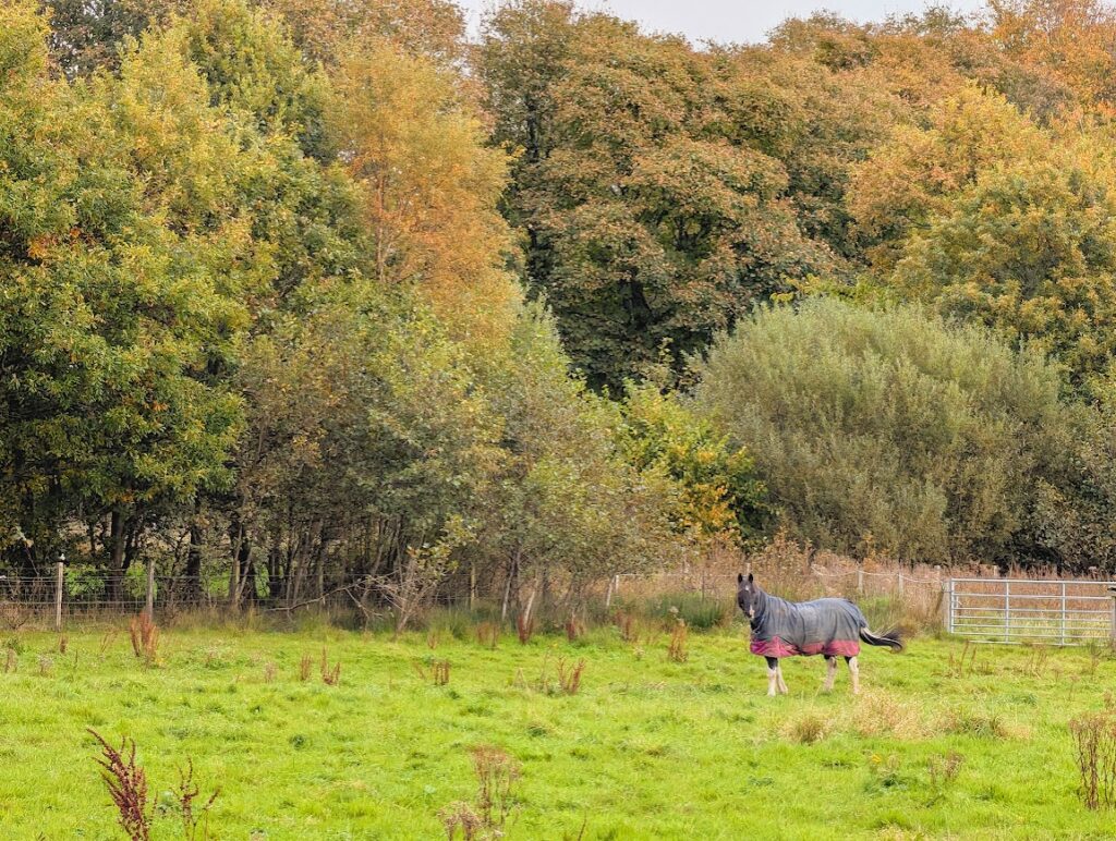
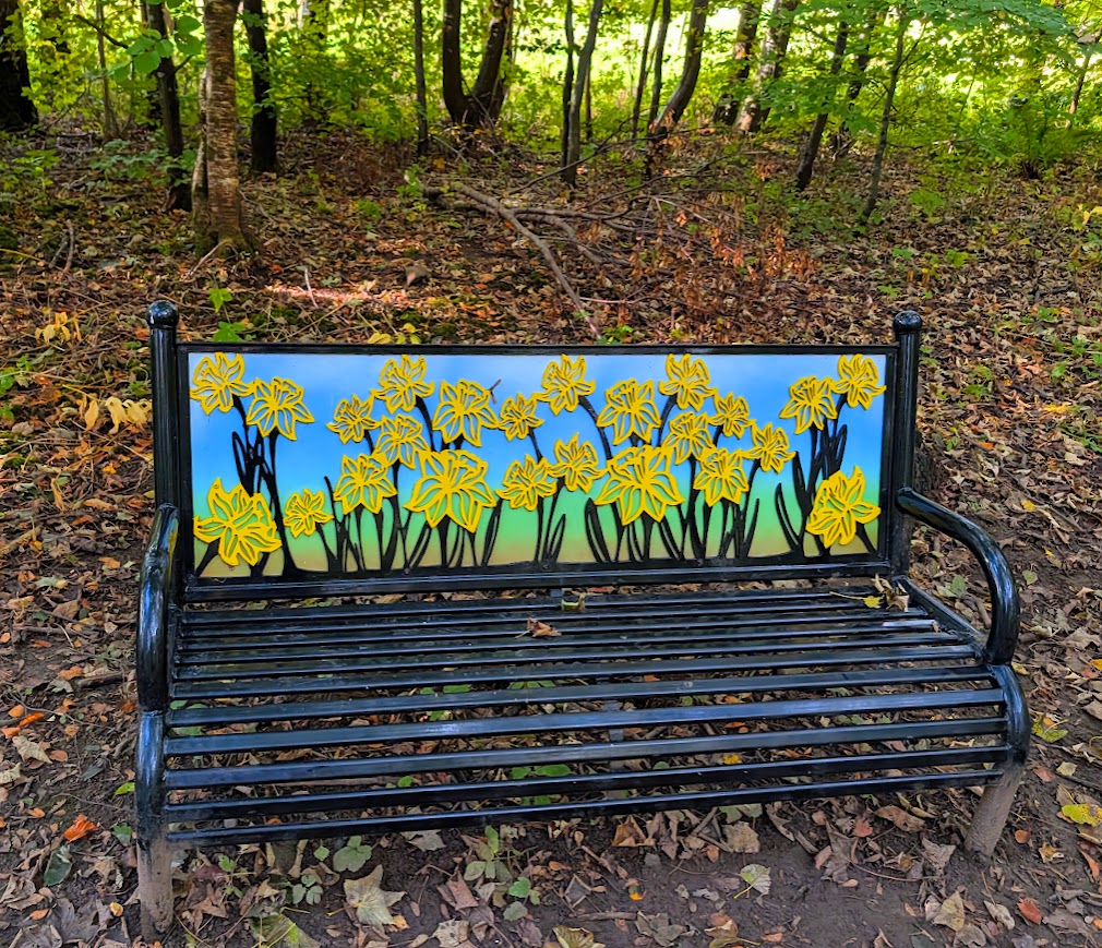
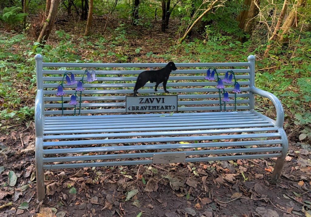
Highlights for me were crossing the suspension bridge, the horses grazing in the neighbouring fields, the flyover we were treated to by a pair of Chinook military helicopters (good timing!), some particularly lovely benches, a glimpse of the gothic-style white Tournament Bridge, Eglinton Castle ruins standing proud through the trees, as well as the artwork and activity boards dotted along the last part of the route.
The park is also particularly stunning in Autumn when the woodland really puts on a colourful show!