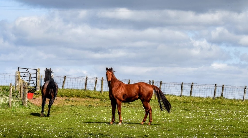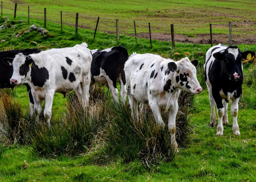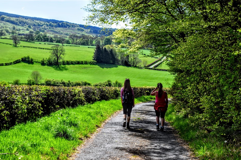
![]() Dog-friendly walk (Note: there can be lots of livestock at times)
Dog-friendly walk (Note: there can be lots of livestock at times)
![]() Small parking area at Glengavel Reservoir as well as a lay-by on the B743 near the entrance to the reservoir. Public car park on Randoldcoup Road in Darvel close to end of walk. No public transport to start point. It is recommended to have a car at each end.
Small parking area at Glengavel Reservoir as well as a lay-by on the B743 near the entrance to the reservoir. Public car park on Randoldcoup Road in Darvel close to end of walk. No public transport to start point. It is recommended to have a car at each end.
View full route description
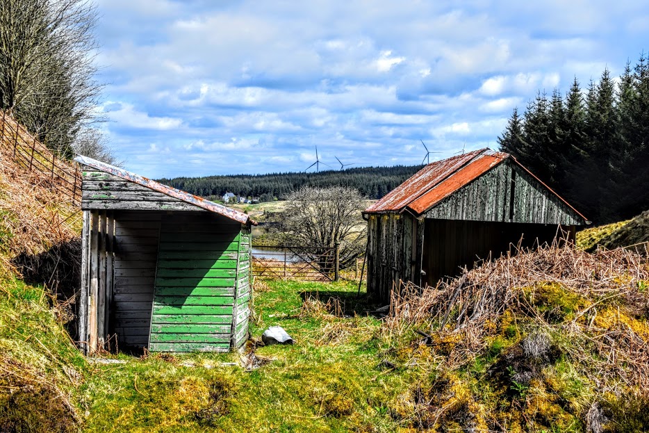
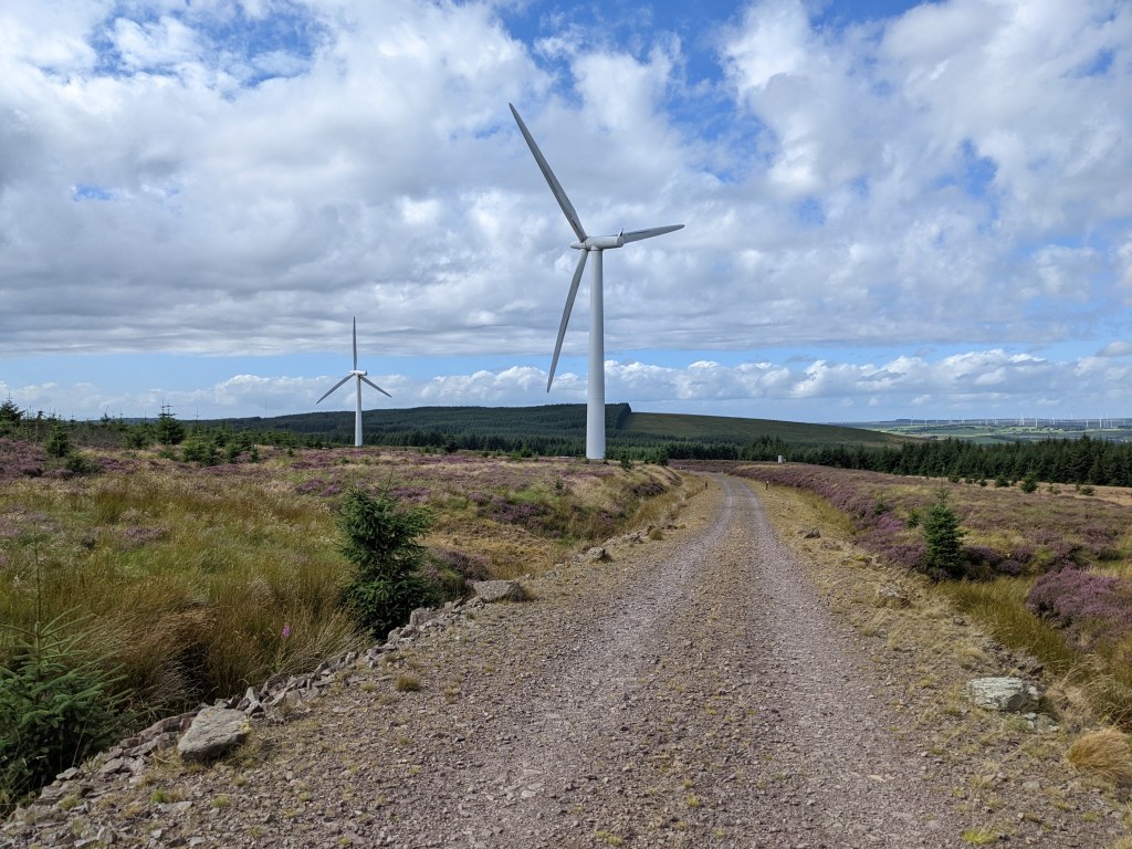
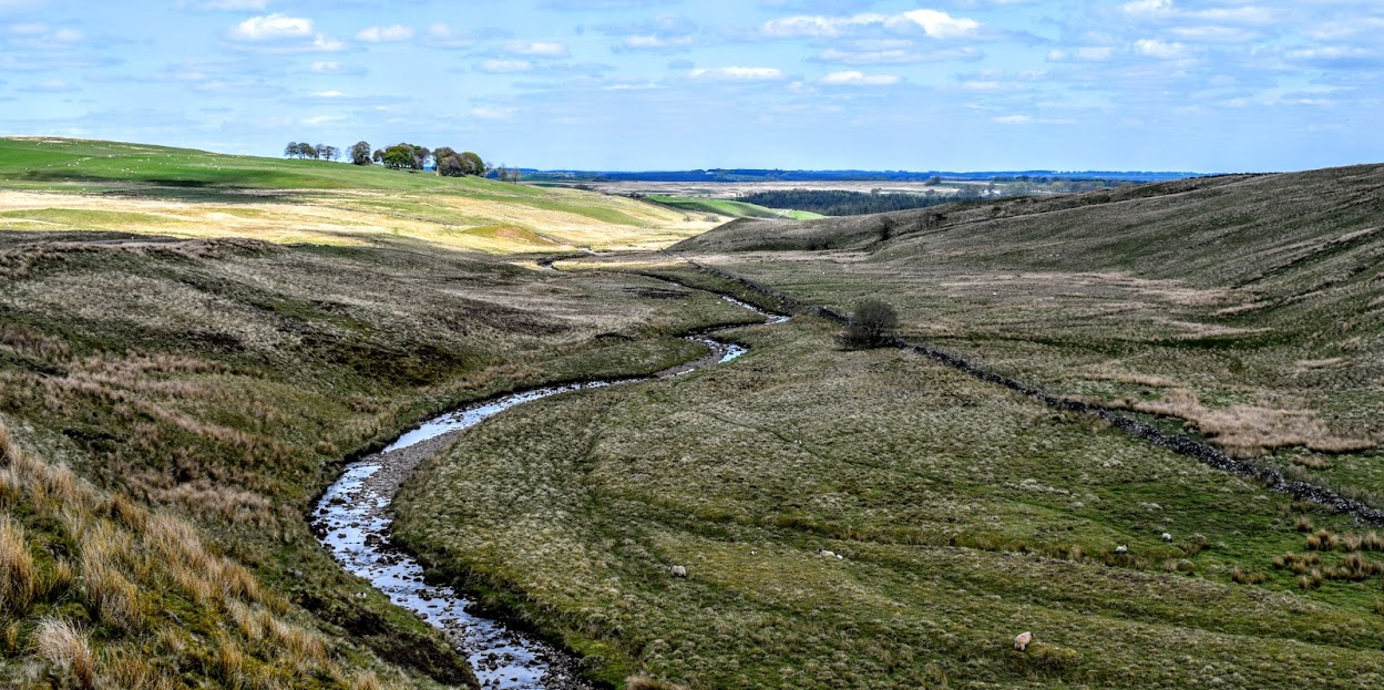
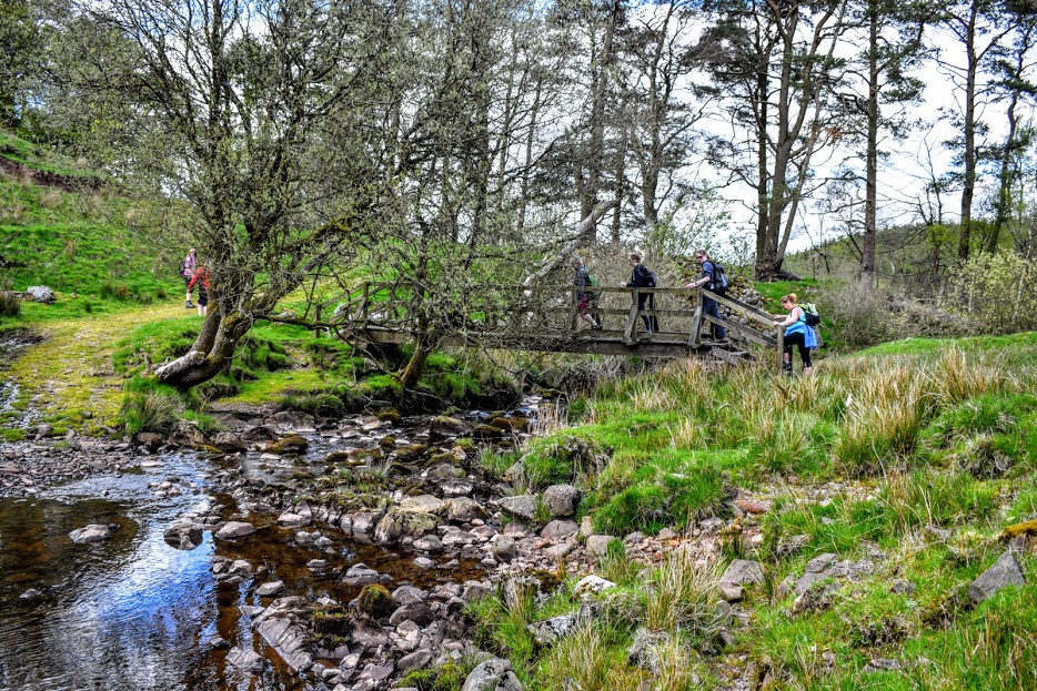
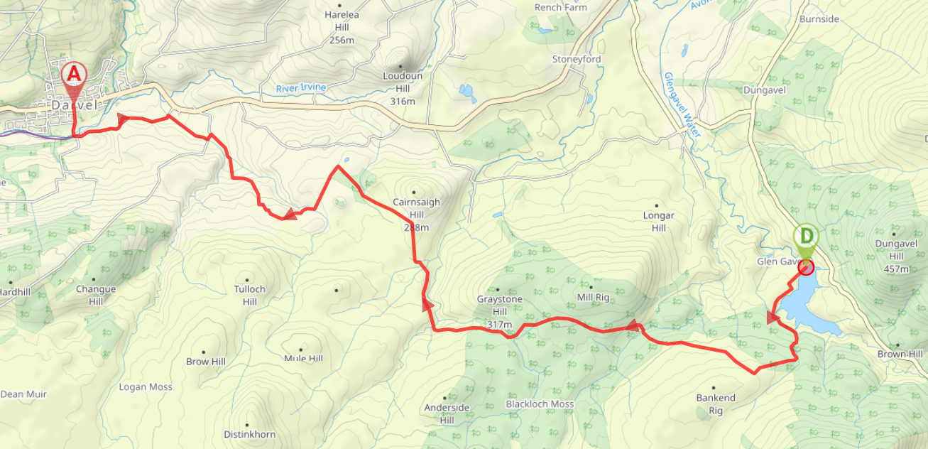
From the parking area at Glengavel Reservoir, walk along the road with the water on your left-hand side. When you reach the fence-line turn left (SE) towards the boathouse and go through a gate in the fence down by the water’s edge. Follow a grassy footpath along the edge of the reservoir. The path all of a sudden ends at a steep hill and at this point if you head uphill to your right you’ll pick up a good track leading to a large metal gate. Go through the gate and walk along the track next to a dry stone wall. On reaching the edge of the forest, veer left to go through another large metal gate and follow the tree-line SE for 400m to reach a clearing in the trees. Turn right (S) across some boardwalk and follow a grassy path uphill to the remains of two wooden huts. Just before the huts, look out for a footpath heading steeply uphill on your right (can be overgrown with fern in summer months). Once up the initial steep section, follow a faint trail through the heather. You’ll soon reach a point where it is difficult to get past the trees on your right, and you’ll find it easier to go into the forest and turn left along one of the rows of trees. When you come out the trees carry on straight ahead (S) for approx 200m to a clearing. Turn right (W) and walk through the clearing for almost 1km, heading for the wide turbine directly ahead. There is no path here so take care on the tussocky heather. You are now in Bankend Rig Windfarm. With the turbine to your left, follow the track right (NW). The track heads downhill towards a quarry. Turn left (W) when you reach the quarry, keeping right at a fork a little further along. Approx 2km along this track you will reach a small pond on your right-hand side (makes a good lunch stop!) Ignore a path off to the left here, keeping right (W) to emerge out of the forest onto open moorland. Continue along this track for 2km, passing a sheep fold, to reach a fork. Turn left (NW) and pass through the farmyard at Burnhead Cottage. Follow the track beyond the house for 700m to a fork. Turn left (SW) – signposted “Long Cairn Walk”, passing between two properties at Saughall. Follow the grassy track along the field edge to a gate. Pass through the gate and continue ahead (SW), downhill towards the Tulloch burn. There is a ford here and a footbridge to the right. Cross the bridge then follow the track uphill, enjoying fine views of the Long Cairn at the top. Continue along the farm track for approx 1km, passing Loanhead and Loanfoot farms en route. At the road-end turn right (N) downhill to Bransfield Farm. At a crossroads next to the farm, turn left (SW) towards Bransfield Bridge. Just before you reach the bridge, look out for a wooden gate off the road to your right, leading into some woodland. Go through this gate and follow the path alongside the Gower Water/Logans Burn (depending on what map layer you are looking at!). When you reach the road, turn left (SW) to cross the bridge. Follow the road downhill for 1.4km, passing High Greenbank Farm along the way. At a crossroads turn right (N) to cross Randoldcoup Bridge. Walk along Randoldcoup Road for 400m to reach West Main Street, Darvel.
WALK REPORT: 15th May 2016 & 20th August 2022
I did this walk with my sister as part of the Irvine Valley Walking Festival 2016 (now renamed to Valley Walkfest). I purposely chose this one because it was one of the longer and more strenuous walks on the calendar and I was also keen to explore this part of the Irvine Valley, having only walked as far as Loudoun Hill to date.
We were a group of around 12 people of mixed ages and abilities with several walk guides showing us the way. They were very informative about the local area and what to expect on the walk, as well as being able to suggest other walks for me to do in the Irvine Valley. I thoroughly enjoyed this walk although found the section through the windfarm a little less interesting than the rest. That said, I loved the variety of different terrains and landscapes and would definitely return to any of the other sections of the walk to explore more. I look forward to attending more of these annual Walking Festivals in the years to come and I would definitely recommend it to anyone interested in walks in the Irvine Valley.
I returned in August 2022 with a friend, following a report from someone who follows my blog that there had been some tree felling on the route. The section in question was at the top of the clearing in the forest near Glengavel Reservoir. Luckily that is at the start of the walk so I knew I wouldn’t need to go far to check it out.
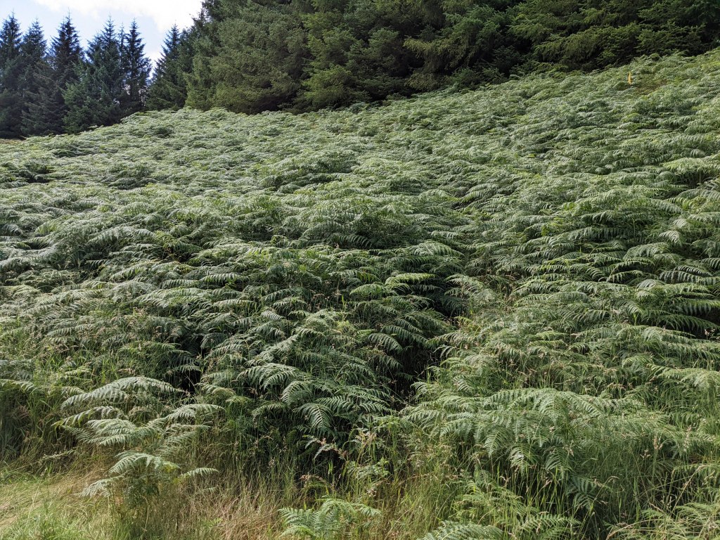
It turns out that the vegetation growth between May and August is quite significant and we had some trouble finding the path from the wooden huts! It was hidden among head-high fern. I then couldn’t remember the exact route we’d taken 6 years previous to reach the turbine. It was a pathless section but not too strenuous, until we reached the top of the clearing and tried to get across to the turbine. Trees had indeed been felled and by now the ground was a mass of tussocky grass, heather and hidden tree stumps with some spiky branches blocking the way in places for good measure. We took our time and made it across, relieved to see the windfarm tracks for our onwards journey.
So some tweaks would therefore be needed to my route description. There is another clearing in the forest a short way up from the huts which misses out the area of felled trees. On checking that out, it is definitely the preferred option. Not easy mind you – there is no path through the tussocky heather – but definitely simpler to describe the route and avoids anyone having to cross the burn or fight their way through felled trees. It also shortens the route by about half a mile, since it cuts out a corner.
We saw loads of buzzards this time around, and made a pitt stop at the pond inside the windfarm where we watched dragonflies as we munched on our sandwiches. I hadn’t remembered passing through so many farmyards last time so that was a bit of a surprise, although all of the farmers we met were very friendly.
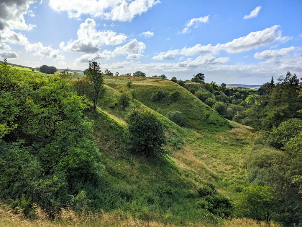
A highlight of the walk has to be the viewpoint across the Long Cairn – it appears out of nowhere amongst the farmland!
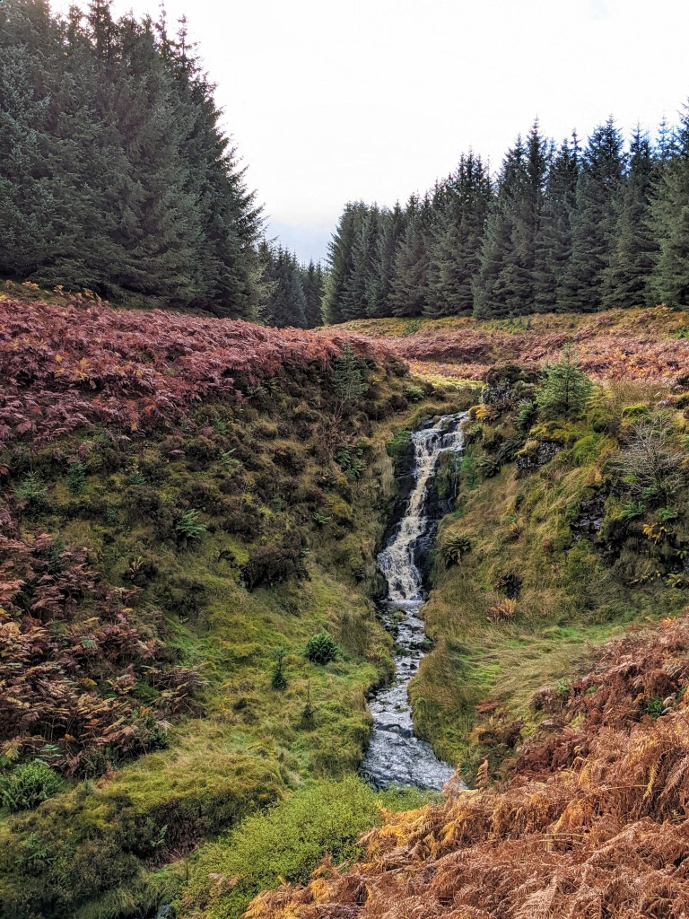
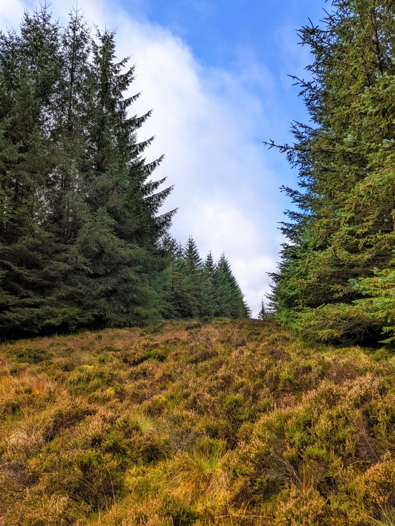
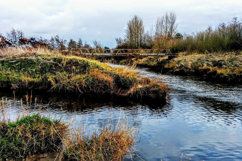
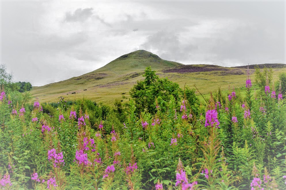
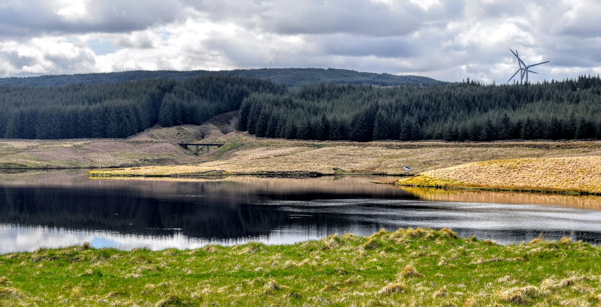
Enjoy the photos….