TERRAIN: a mix of surfaced roads and steep, grassy mountain paths which can be boggy. Two stiles. Exposed in places with craggy areas.
![]() Car parking available in lay-by off A81 immediately after passing Glengoyne Distillery. Bus stop on A81 outside Glengoyne Distillery.
Car parking available in lay-by off A81 immediately after passing Glengoyne Distillery. Bus stop on A81 outside Glengoyne Distillery.
View full route description
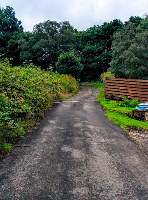
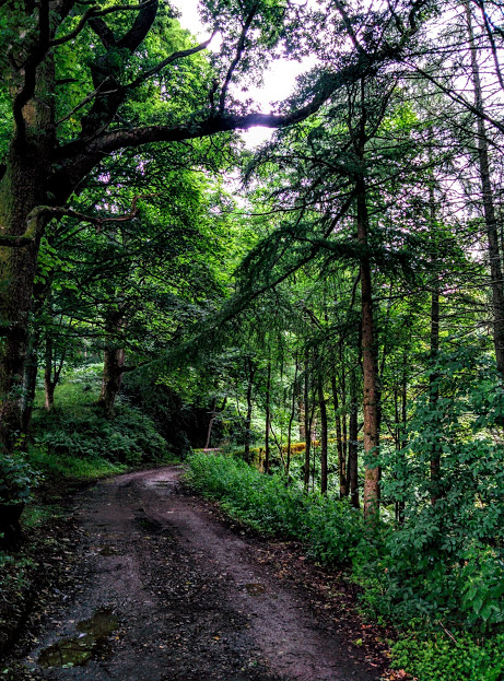
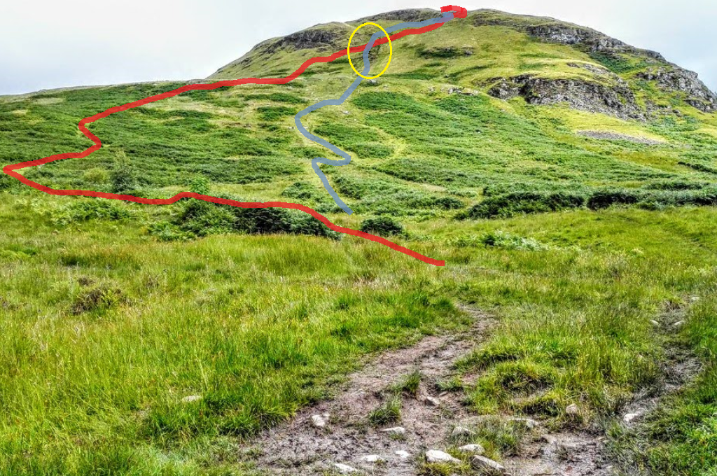
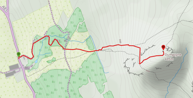
From the north end of the lay-by, cross the A81 onto a single track road at the other side, passing some houses on your right. Continue gently uphill for approx 800m. Along the way you’ll pass a house on your left, cross a bridge over a burn and then pass a third house. Just beyond the third house you will reach a wide track which you cross straight over (East) onto an open grassy area. Follow a grassy path leading towards some trees at the foot of the mountain and after crossing over two stiles you are ready to start your ascent at a particularly boggy area! [Take care at this point: there are two possible routes up. The most tempting one is to make a beeline for the summit on an obvious track heading east. It is however extremely steep so my suggested route is detailed below.] Follow the footpath which bears left (North East) from just beyond the stiles. Note that it is very easy to miss (see image below for an illustration). Walk uphill for a distance of 400m then keep right (South East) at a fork at 280m elevation. At 310m elevation the path swings round to the right (South) just below some crags. Traverse the hillside for 80m then turn left (North East) at a fork to start climbing to Dumgoyne summit. From the summit, retrace your steps back to the lay-by.
WALK REVIEW: 22nd July 2016
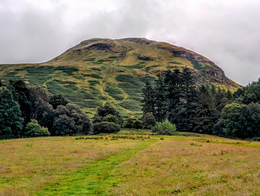
I first heard the name Dumgoyne several years ago when I was walking the West Highland Way. It is one of those really distinctive hills which can be seen jutting out of the horizon from the south: every time I drive along the M77 towards Glasgow there it is in the distance.
On this particular day my actual goal was to climb Earl’s Seat. Recommended by a friend for my Trail 7 Summits Challenge list, Earl’s Seat is the highest of the Campsies. When I started to research how to climb it, my Google search results suggested that doing Dumgoyne on the same day was logical. Once at the top of Dumgoyne however, we decided not to go on to Earl’s Seat due to time restrictions. I knew we had only completed just over a mile of the route and the whole thing taking in Earl’s Seat too would have been around 6.5 miles including the return leg. I knew I would be back soon to do it though and coming today allowed me to calculate my route, work out parking etc!
I had chosen, as I often do, to follow the route info described on the Walkhighlands website for this climb. However on this occasion there were a couple of problems which came up: the Walkhighlands review talked about the ability to take a shortcut at the beginning to miss out a section of the road to the new build house. At the time of our visit the path was so overgrown that it was hard to see and having tried it out I was left wondering why it exists because following the road is actually much simpler and taking the ‘shortcut’ really doesn’t cut that much distance off. The second issue I had with the Walkhighlands review was that the route took us straight up the steepest part of the mountain when there was actually an easier way. We found the easier one by accident on the way back down and that is the one I have described above and on the map. There is also an illustrated photo below which clearly shows the different options.
About halfway up we saw a man coming up behind us who seemed to me a little odd. He was older (in his 60s), dressed in brown corduroy trousers and a long sleeved white shirt, and had absolutely no provisions with him not even a bottle of water! He caught up with us towards the summit and we got chatting. He claimed to have walked all the way from Milngavie along an aqueduct and then up to Dumgoyne (some 20 miles there & back)… I couldn’t decide if he was crazy in the adventurous sense or in the irresponsible sense: it was a hot sunny day, who ventures out on a walk like that with no provisions?! I really hope he got home safely.
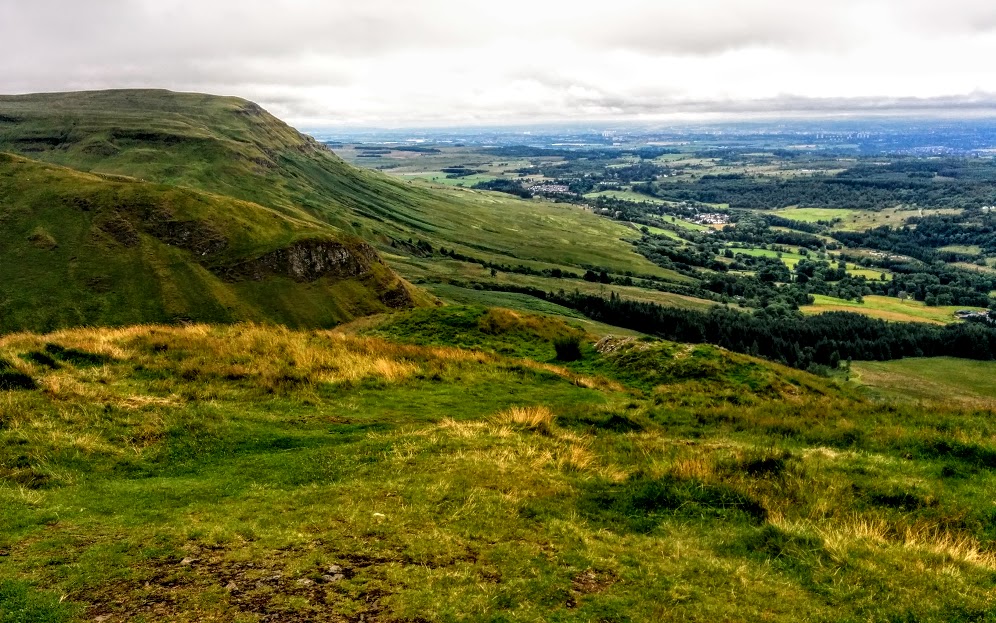
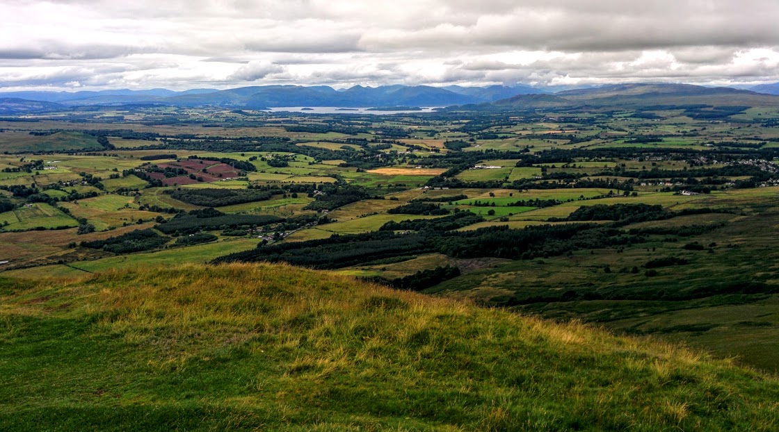
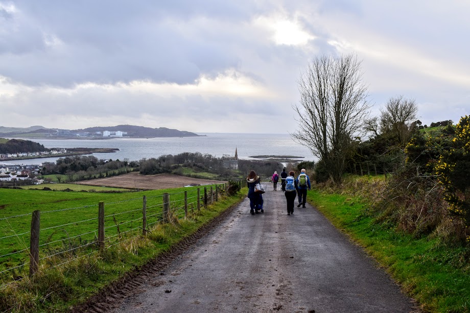
Enjoy the photo tour!