![]() Dog-friendly walk
Dog-friendly walk
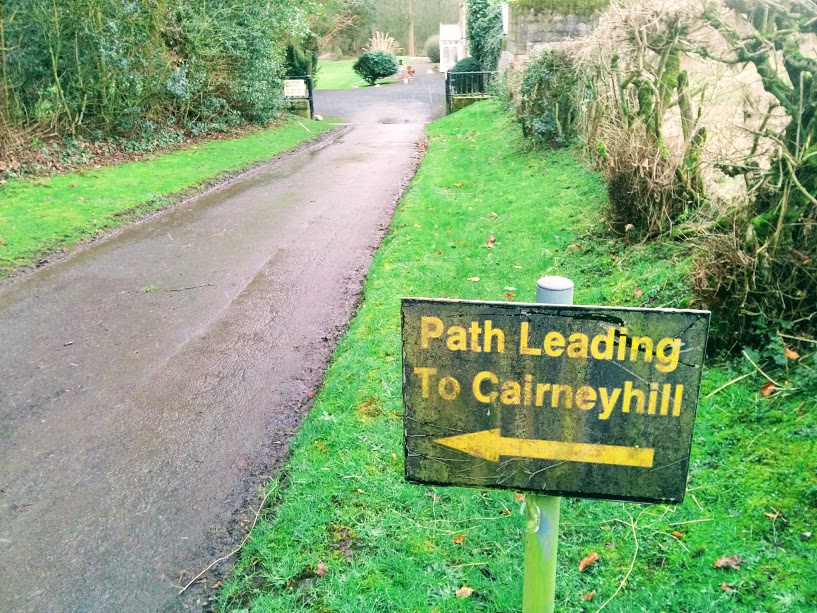
![]() Parking area at the Scout Hall, Cairneyhill ( KY12 8RN). If travelling by bus I suggest getting off on Main Street, Cairneyhill (war memorial) and picking up the route on Pitdinnie Road* (see route description below).
Parking area at the Scout Hall, Cairneyhill ( KY12 8RN). If travelling by bus I suggest getting off on Main Street, Cairneyhill (war memorial) and picking up the route on Pitdinnie Road* (see route description below).
View full route description
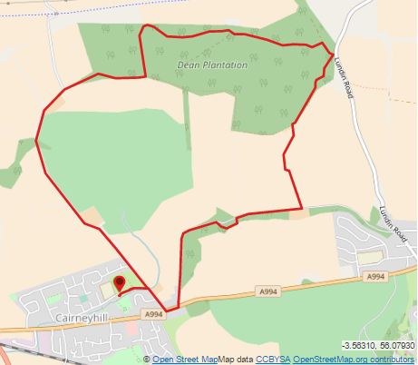
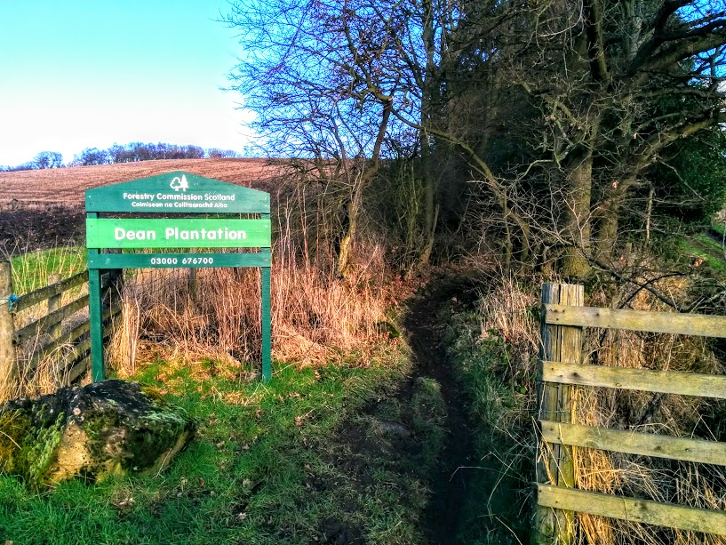
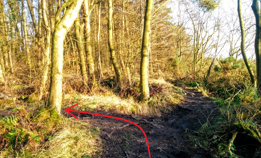
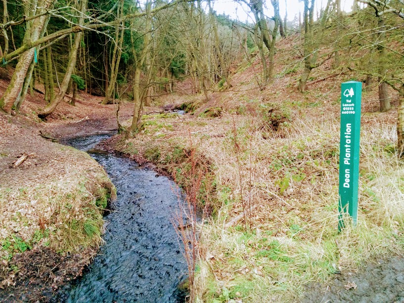
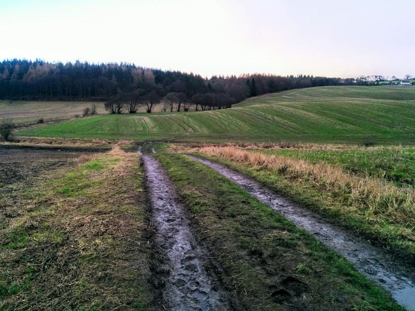
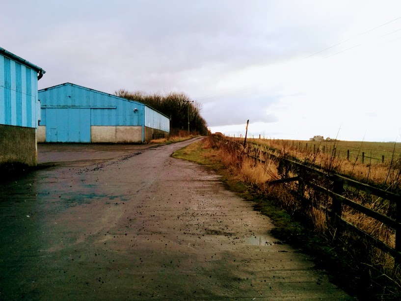
From the parking area head across the open grassland and turn left onto Pitdinnie Road*. Follow the road gently uphill past the Forrester Park Golf Club. Shortly after the road bends right you will see a green Forestry Commission notice board for the Dean Plantation. Turn right here, following the narrow earth track into the trees. After approximately 0.3 miles look out for a fork in the path where you turn left. Initially this path heads uphill then down before bending right and widening onto flatter ground. You will emerge onto a gravel road. Turn left onto the road to continue walking in the same direction as before. At the end of the road turn right and at a green barrier next to Lundin Road take the narrow footpath on your right. There are a few splits in the path during this section. Keep to the higher ground when you have the option, along the edge of the woodland. After a downhill stretch, you will emerge next to a burn. Turn left here to follow the Crossford Burn across the farmland towards two large blue buildings belonging to Pitconnochie Farm. On reaching a minor road turn right. Just before Hilton House there is a way marker which sends you left into some trees and around the outskirts of the property. At the other side you will emerge onto a wide farm track. Keep right at the fork. At the end of the road turn right onto A994/Main Street and then take the first right onto Pitdinnie Road. After crossing Torry Burn turn left to enter an open grassy area. The parking area is straight ahead.
WALK REVIEW: 10th February 2017
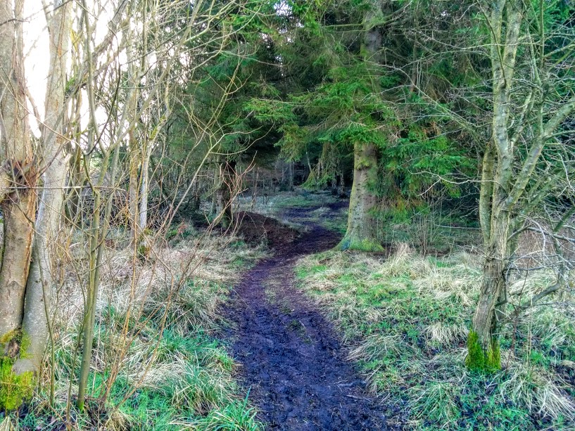
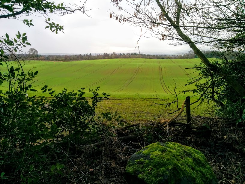
Having a country park in my hometown called ‘the Dean‘, when I found out that my friend had a ‘Dean’ close to her in Fife too, I was intrigued to pay it a visit! Apparently the plantation’s name comes from Pitfirrane Dean – a deep gorge which runs through it’s Eastern side.
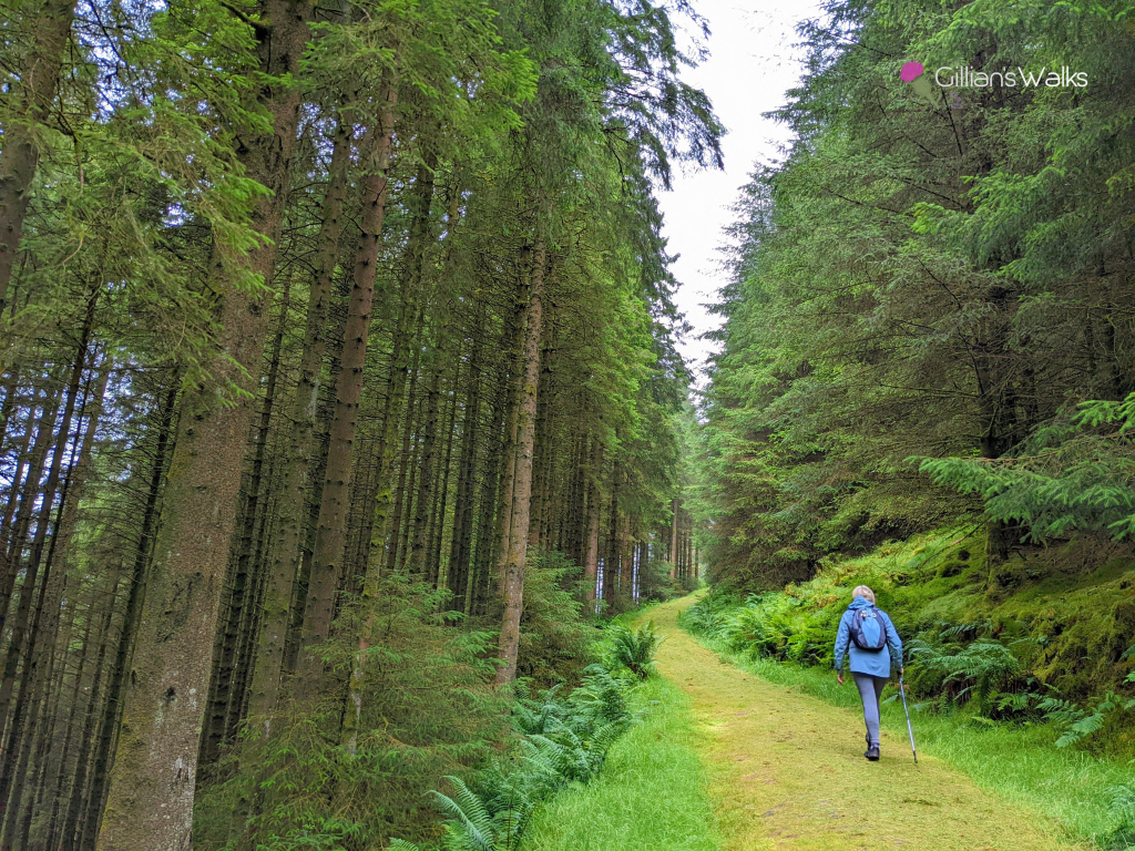
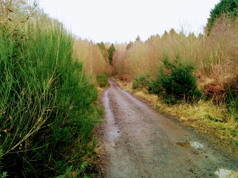
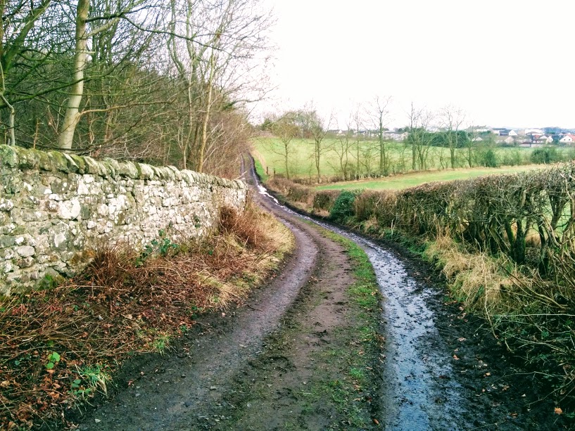
We began with a stroll along Pitdinnie Road (pictured above), a quiet rural road with farmland on one side and the golf course on the other. If you were to continue along it until the end you would come to a dismantled railway which stretches across the area all the way from Alloa to Dunfermline, forming the part of the West Fife Cycle Way (NCN route 764). A walk for another day!
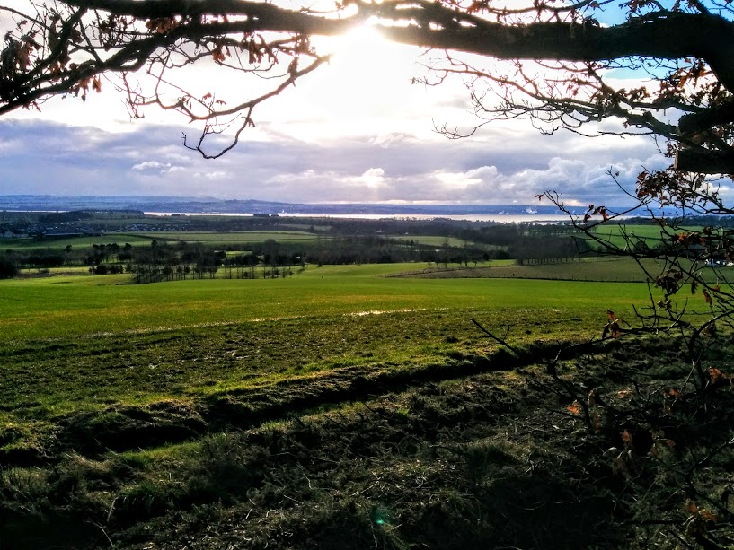
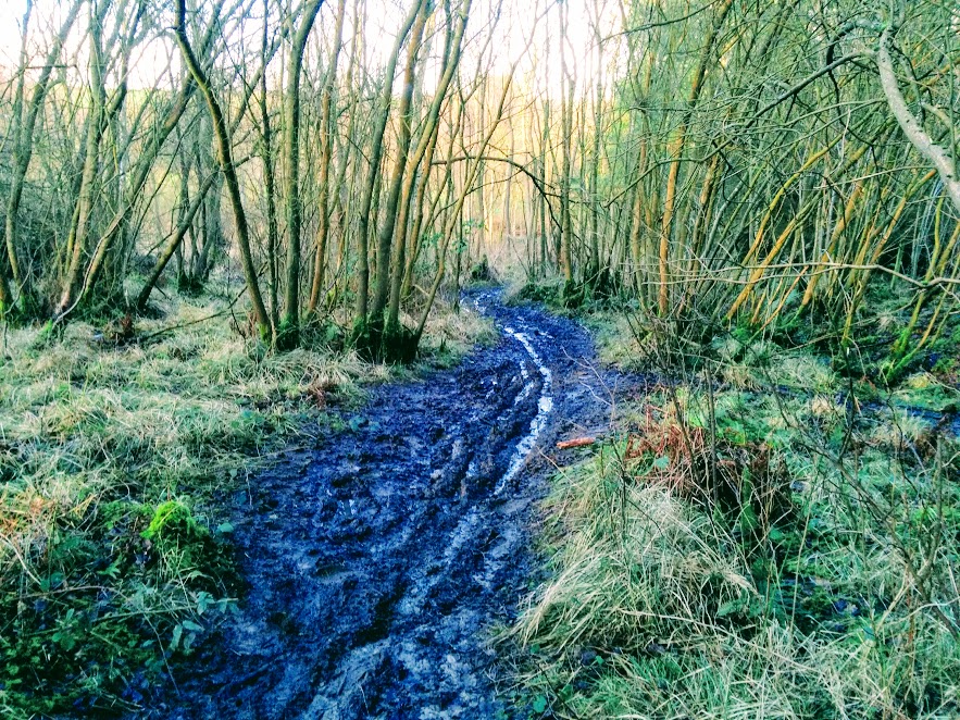
So that’s that! Despite the mud I would definitely do this circuit again. In fact I even commented to my friend that we should return in summer to find out whether it dries up or if it is just a year-round mud bath…. I have also read that it’s Eastern side, along the gorge, comes alive with bluebells during the month of May which I would love to witness! It certainly looked to be a well-used woodland with mountain bike tracks and footprints the whole way round. Do let me know how you find it during your visit!