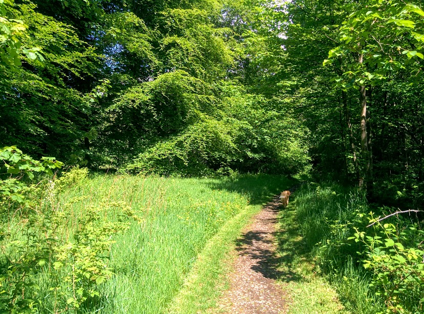
![]() Dog-friendly walk (short section through some farmland where lead is required and one stile – most dogs will be able to fit under it – see photo below)
Dog-friendly walk (short section through some farmland where lead is required and one stile – most dogs will be able to fit under it – see photo below)
![]() Main car park of Blairadam Forest is just off B914 at Kelty. Well signposted from the road (KY4 0JW). No public transport to start point.
Main car park of Blairadam Forest is just off B914 at Kelty. Well signposted from the road (KY4 0JW). No public transport to start point.
View full route description
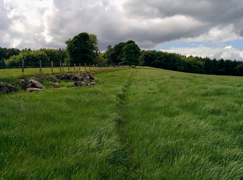
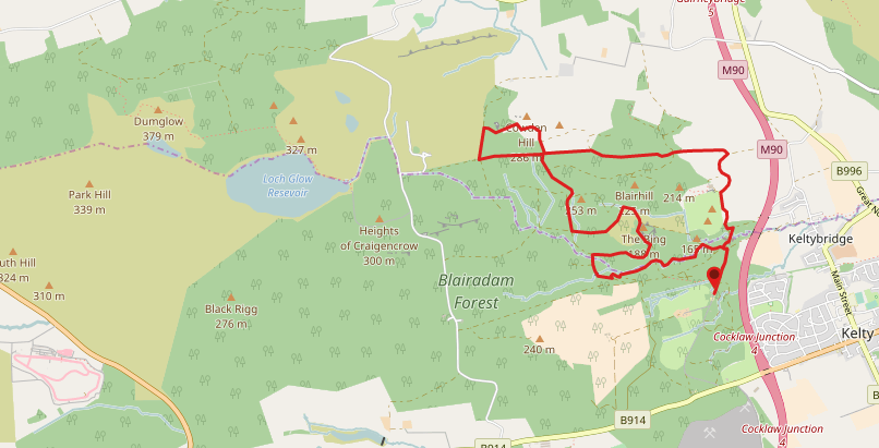
Pass through the gate at the end of the main car park and continue along this wide gravel path, passing both the totem pole and inscribed brick wall as you walk. You will reach a crossroads which has a grassy island in the centre of it. Take the track ahead, and immediately after passing through the green gate turn right onto a narrower, grassy footpath. This leads you to a pine forest and the path becomes less visible for a short time. Cross two wooden footbridges then bear left on a faint path uphill (see photo below). You will emerge onto a wide gravel track at the top of the hill. Turn left towards a cottage. Turn right at the cottage to follow a road past some fields towards Blair Adam House. Follow the road as it bends to the right (road on the left is marked private). Pass through the two sets of kissing gates onto an area of open grass. Follow the farm track left to another kissing gate. The track now bends to the right towards the walled garden. Ignore the gate here, instead continuing on the track as it bends left towards North Blair House. Next to the house pass through another kissing gate onto a grassy field. There is little in the way of a path here so stick to the field boundary and continue straight ahead towards the trees where you will find yet another gate, this time with a stile across the fence. On reaching a crossroads with a tall waymarker take the option ahead towards ‘Nivingston Road‘. Follow this track for 0.8 miles to a crossroads. The next part is the Cowden Hill loop which can be very muddy. To miss it out turn left at the crossroads instead of right. Otherwise turn right, heading gently uphill and when you reach a stone ruin turn left to follow this gravel track along to meet up with the same crossroads you turned off earlier – turn right. Continue straight ahead at a fork as the path begins to head gently downhill to another crossroads. Turn left here and enjoy some easy downhill walking with views across the trees towards Loch Leven. Keep right at a fork to follow the yellow way marker past a rocky mound. The path bends to the right and comes to a fork where you keep left. Cross over Pieries Burn followed by Kelty Burn. Turn left at two splits in the path to find yourself on a red gravel track running alongside the burn. Turn right at the end of this track and at the next fork keep left. At the crossroads follow the path signposted for ‘The Butterchurn and Kelty via M90 Footbridge’ which will lead you back to the car park.
WALK REVIEW: 2ND JUNE 2017
Generally speaking when it comes to forest walks I can manage 4 miles or so before I start to become bored of the same old. However this particular route through Blairadam was extremely varied and each time I showed any sign of losing interest we turned a corner and experienced something different; a new type of terrain, a feature of interest, open areas, pine forest, woodland, an unexpected view…..
Originally I had planned a route round 7 miles which zigzagged through the forest however due to time limitations we decided to cut it short. Modifying the route mid-walk turned out to be trickier than I would have expected and a couple of times I found that we were wandering in the completely wrong direction. I was so grateful for my mapping app on my mobile which showed my location using GPS and I was tracking my route so I knew when we were off-course. Without it I feel confident we might still wandering around looking for the car park. You see, Blairadam Forest is somewhat of a maze once inside!! Which explains the loooonnnng route description above… sorry: there are a lot of crossroads and forks to navigate!
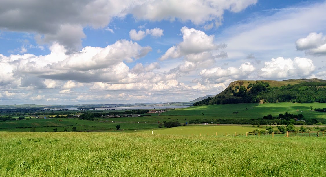
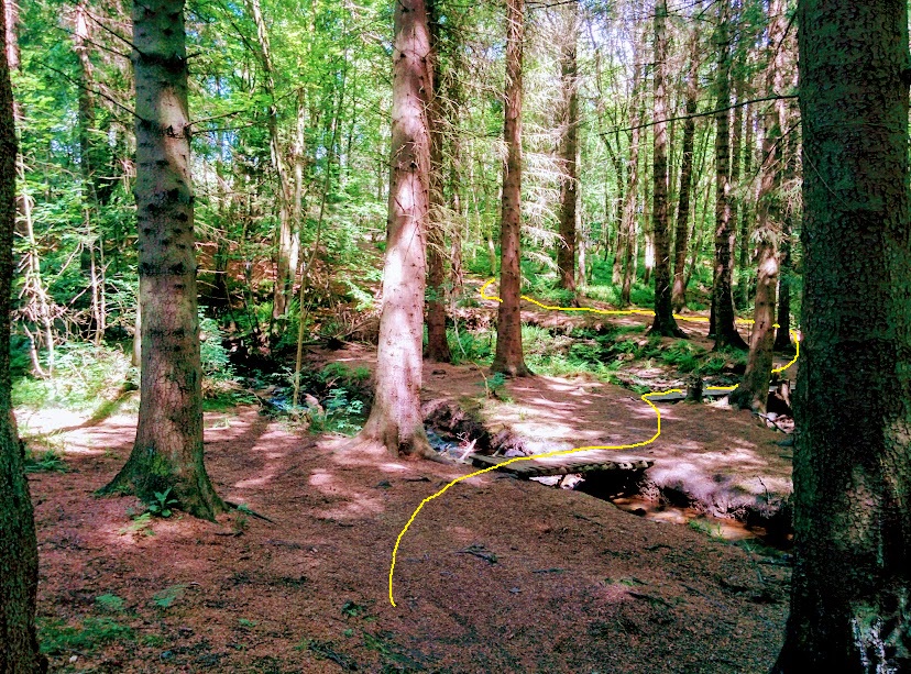
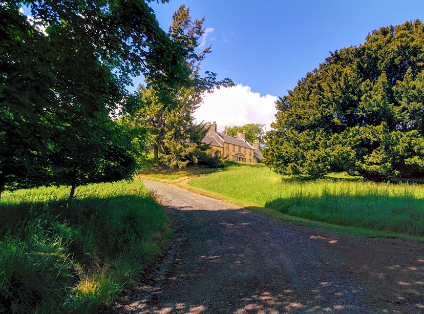
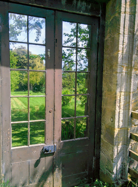
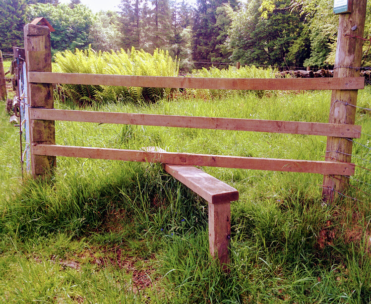
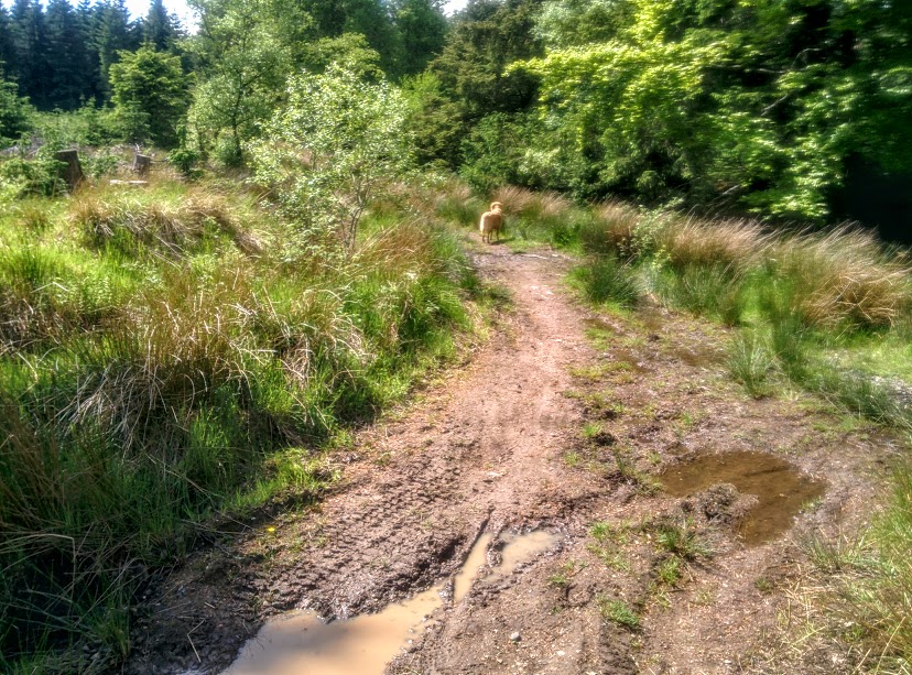
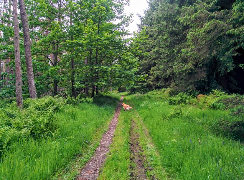
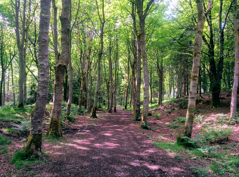
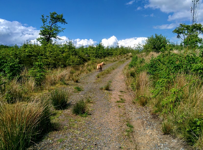
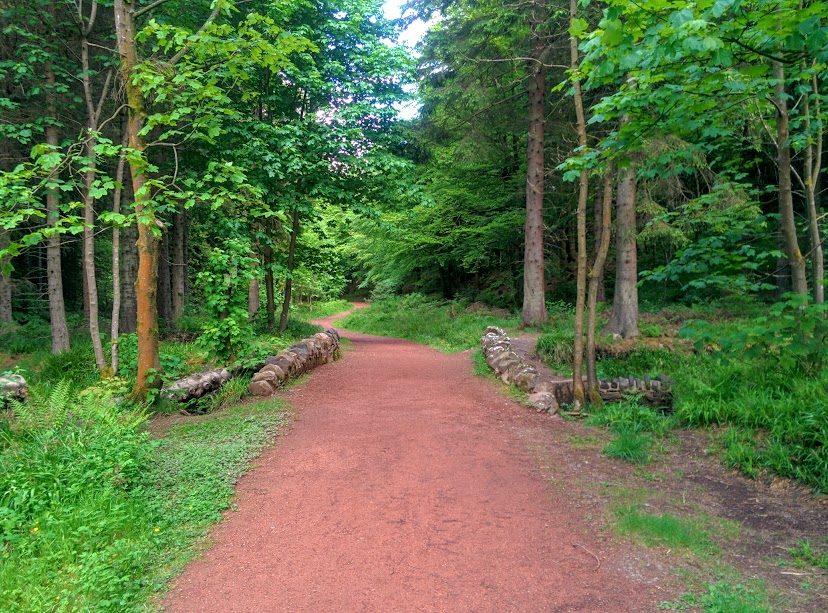
The photos below give an insight into the different types of terrain you can look forward to on the walk…..
