![]() Dog-friendly walk
Dog-friendly walk
![]() Forestry Commission car park (chargeable) off C1126/Cairngorm Road or on roadside verge. Closest train station is in Aviemore, approx 6 miles away. From there it is possible to take a bus to Glenmore Visitor Centre then walk approx 0.3 miles along the roadside pavement to Loch Morlich.
Forestry Commission car park (chargeable) off C1126/Cairngorm Road or on roadside verge. Closest train station is in Aviemore, approx 6 miles away. From there it is possible to take a bus to Glenmore Visitor Centre then walk approx 0.3 miles along the roadside pavement to Loch Morlich.
View full route description
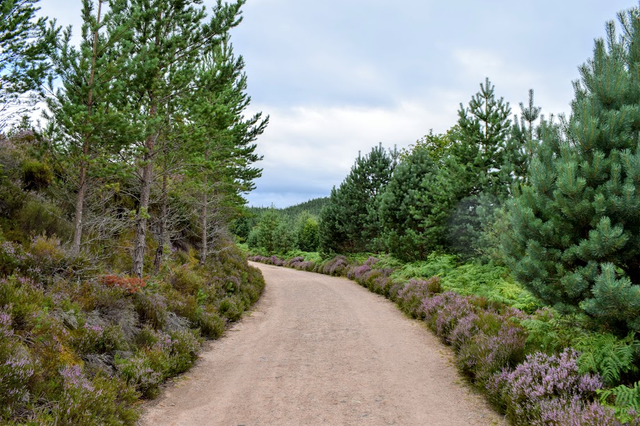
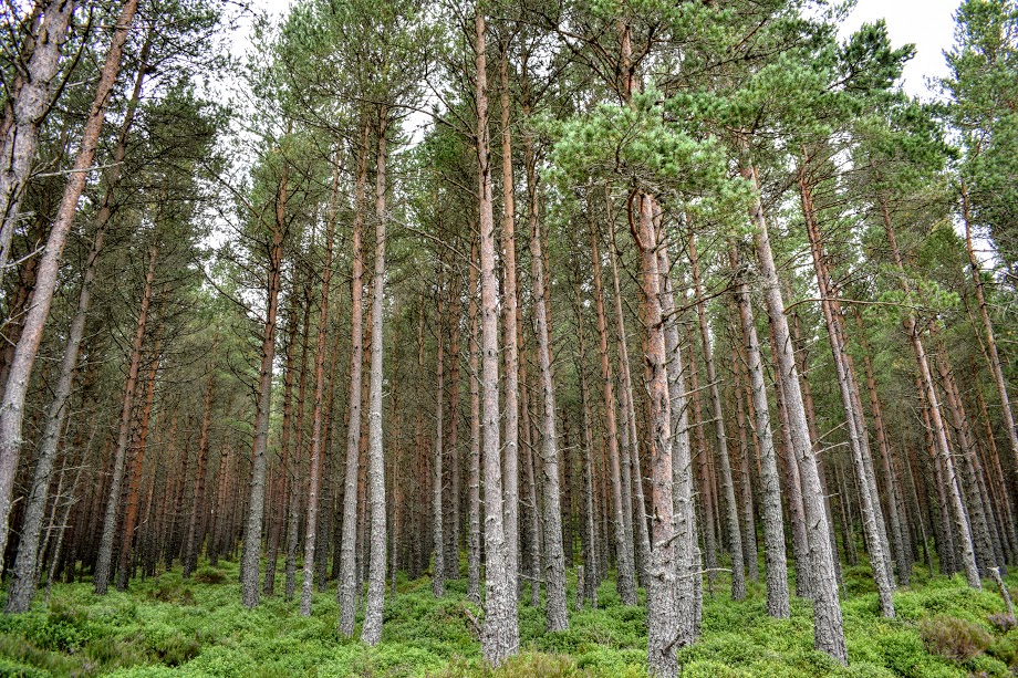
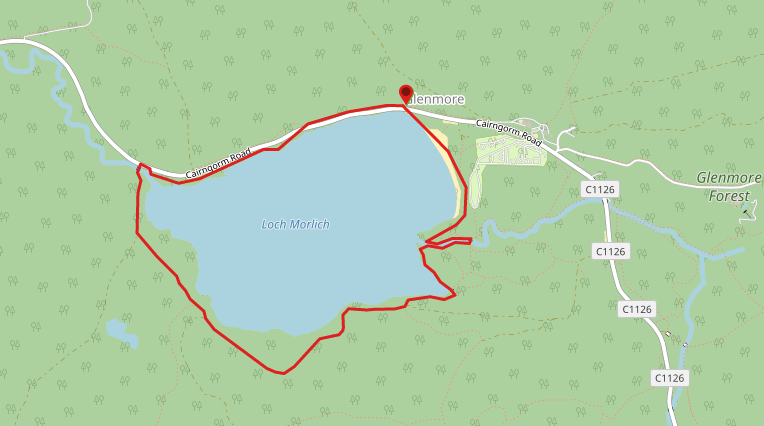
From the parking area head down onto Loch Morlich Beach and turn left to walk along it. At your chosen point before the sand runs out, pick up the footpath running through the pine trees. Keep right at any forks to stay as close to the water’s edge as the path allows. On reaching a burn turn left to follow it along as far as a bridge. Cross the bridge and turn right to follow the path along the opposite bank of the burn. Continue around the edge of the loch, eventually turning right to join up with a wide forestry track. After 1.4 miles you will emerge onto C1126/Cairngorm Road. Turn right to follow the roadside verge along a short distance before picking up a small off-road footpath on your right through several parking areas. Where the footpath emerges onto the road again, cross over and pick up a trail (Old Logging Way) on the other side. At the end of this trail turn right to reach the main road and right again to return to the car park.
WALK REPORT: 13th August 2017
When my husband suggested a night in Aviemore to celebrate our wedding anniversary I didn’t anticipate him also seeking out a walk for us to do the following day <3 Loch Morlich… I will admit I had never heard of it before but I do love to explore new places so it was a massive thumbs up from me!
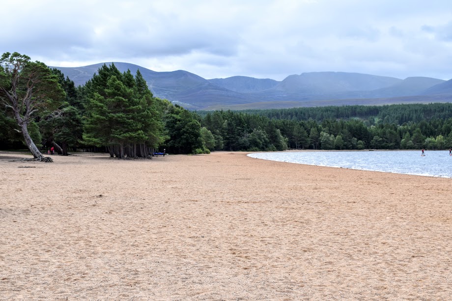
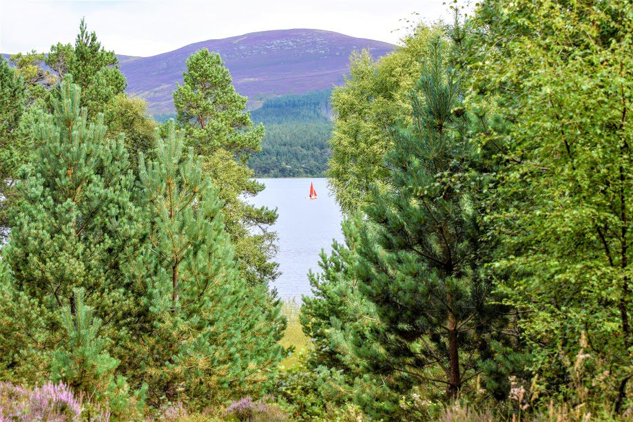
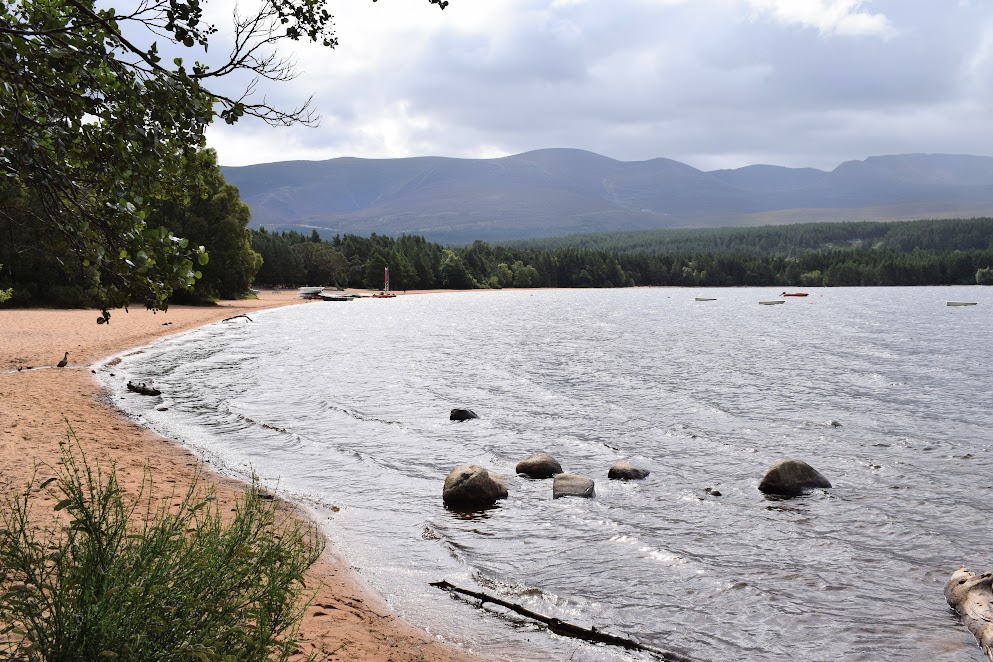
It was easy to find and first impressions were very good with a gorgeous beach welcoming us. The sand was amazing – a true ‘sand’ colour, if you know what I mean?! I have since learned that Loch Morlich is the highest beach in Britain and has won a Rural Beach Award! We passed a group of more adventurous sorts heading out on canoes. Great to see the loch being used for water sports. Plenty of families were also out making use of the fantastic network of cycle paths around the area.
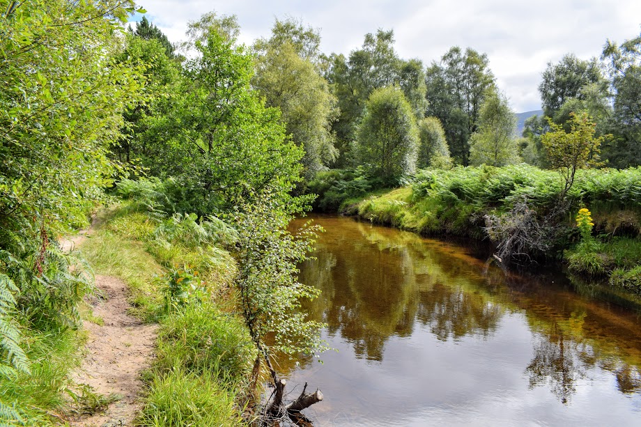
Further along, we watched as some of the canoeists attempted in vain to paddle up the (somewhat too shallow) burn. One has to ask why, with all that loch to explore!
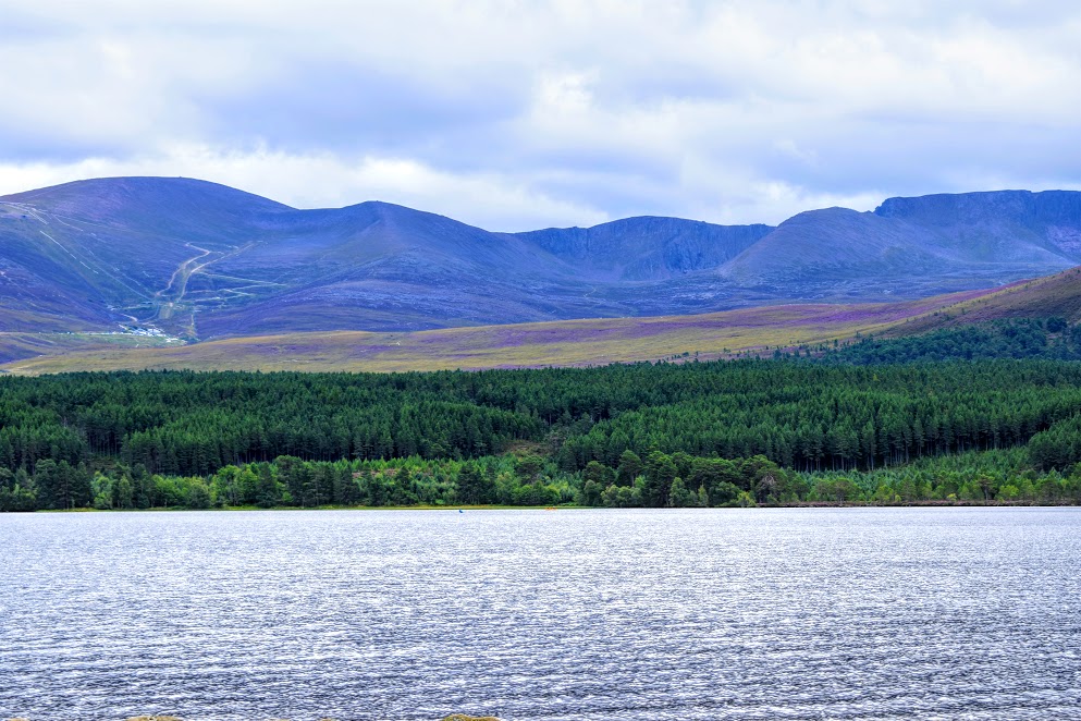
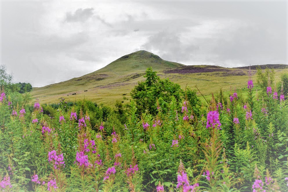
The forestry road was at a surprising elevation of just over 1000 ft. Purple heather was a huge feature at the time of our visit, both along the path itself as well as on the Cairngorm mountains. A beautiful sight. We spent some time playing around with my Peakfinder and Viewranger apps to ID the hills. The Cairngorm ski area was clearly visible including the chairlift towers: a tad unsightly in my opinion but I realise it is necessary. On the plus side, what a brilliant walk this would be in the snowy season when the mountainside comes alive with skiers and snowboarders!