![]() Dog-friendly walk
Dog-friendly walk
![]() Walk starts from The Links Place car park, Burntisland where there is ample parking (KY3 9DY). Burntisland train station is a short 0.3 miles from the start point and local bus services stop on A921/Kinghorn Rd next to The Links.
Walk starts from The Links Place car park, Burntisland where there is ample parking (KY3 9DY). Burntisland train station is a short 0.3 miles from the start point and local bus services stop on A921/Kinghorn Rd next to The Links.
View full route description
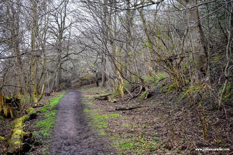
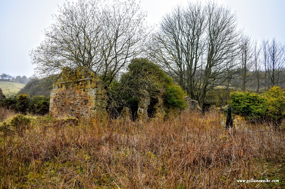
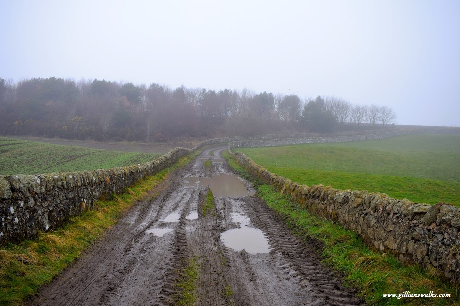
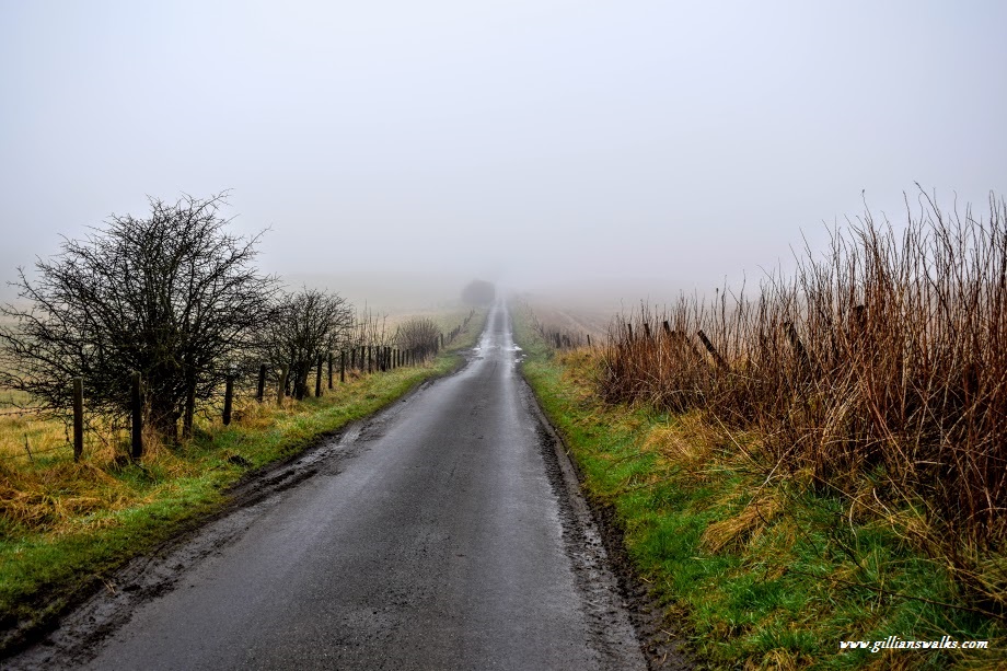
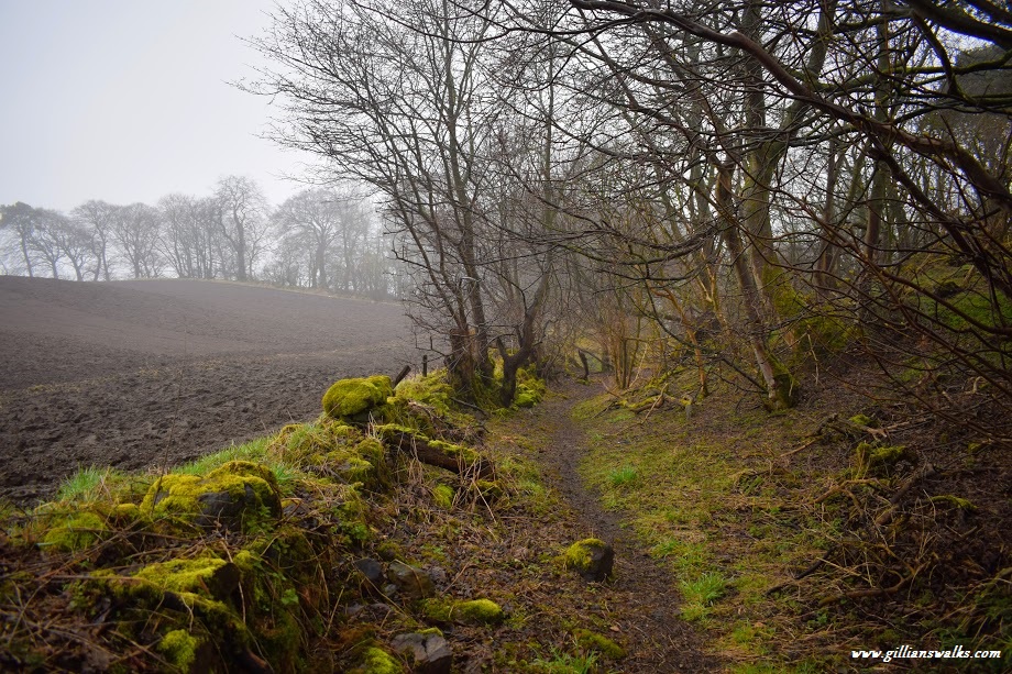
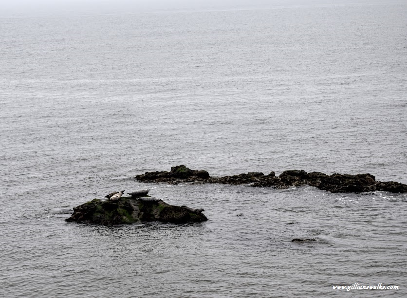
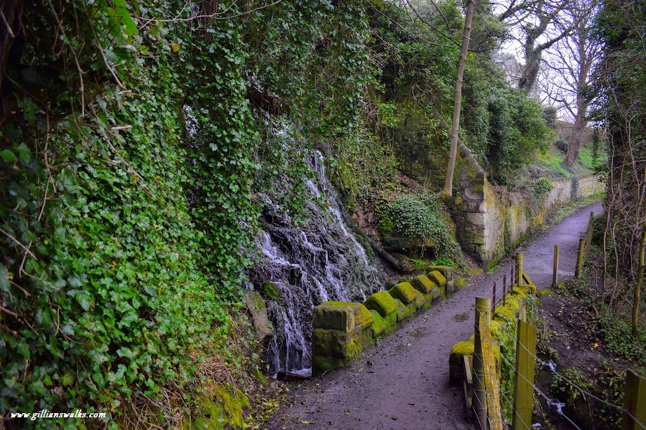
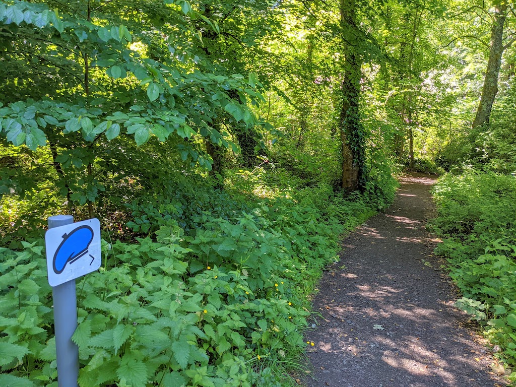
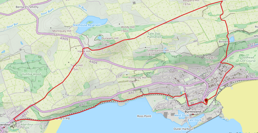
From the car park cross The Links (large open grassy area) to emerge onto A921/Kinghorn Road beside the church. Cross the road and turn right onto Kirkbank Road. At the very end of this residential street turn left onto a woodland path passing in front of the last house. This pleasant footpath emerges onto the B923/Kirkcaldy Road. Turn right and shortly after passing the Burntisland Golf Club turn left onto a woodland path. This track leads you uphill to the site of the abandoned Binnend village. Continue straight at the crossroads and the path will eventually come out of the woods into open countryside. The next section is along farm tracks which can be boggy and become flooded after heavy rainfall. You will emerge onto Standing Stanes Road. Turn left and continue on Standing Stanes Road for approx 2 miles until it meets with the A909. Cross carefully and pick up the track at the other side of the road, signposted ‘Aberdour’. At a junction keep right to walk towards Longgates Cottage. The route skirts the front of the property and continues ahead down a narrow footpath known as Kemal’s Cut. Please note that this path can be muddy at times and may become overgrown in summer months. The path will join up with a wider track, turn left here to reach the A921, turning right to head down Main Street into Aberdour. Take the second street on your left – Hawkcraig Road – and immediately after crossing the railway bridge turn left, signposted ‘Path to Silver Sands’. This track leads you along the edge of the railway line and onto the Fife Coastal Path for approx 2 miles. On reaching Kirkton Road turn right. At the junction continue straight onto Lothian Street then left onto High Street. At the end of the street turn right onto Links Place. The car park is visible ahead.
WALK REPORT: 13TH APRIL 2018