![]() Dog-friendly walk [Note: several stiles on the route]
Dog-friendly walk [Note: several stiles on the route]
![]() Car parking available at Glen Sherup Car Park just off A823, west of the village of Glendevon. No public transport to start point.
Car parking available at Glen Sherup Car Park just off A823, west of the village of Glendevon. No public transport to start point.
View Full Route Description
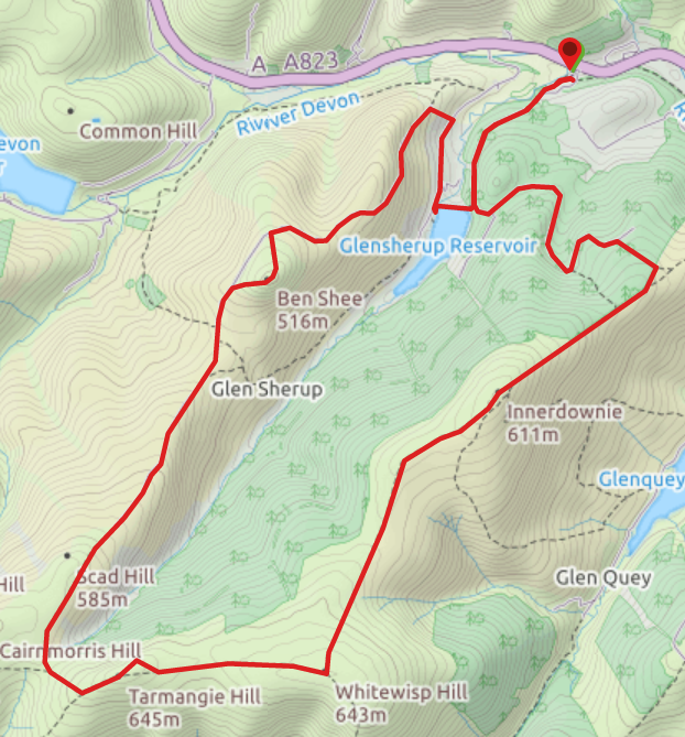
From the information boards at Glen Sherup car park, follow the trail SW alongside the Glensherup Burn. After 300m turn right (SW) onto a forestry track. Another 850m along keep left (S) at a fork, ignoring signs for the Reservoirs Trail (you will come back that way). Another 150m along, turn left (N) at a path junction. Continue along this track for 1.5km as it zig zags gently uphill. At 415m elevation, look out for a narrow gap in the trees on your right (there is a short wooden way marker on the left and a pile of stones at the path-end that are both easily missed) – turn right (SE). This footpath leads you into the trees and up a short but steep incline, emerging at a gate in a deer fence. Go through the gate and turn right (SW) to follow the dry stone wall uphill on a grassy path to a bench. From the bench continue to follow the line of the wall uphill to reach the summit cairn of Innerdownie. Continue in the same direction (SW) from the summit, keeping the wall and then later a fence to your right. When you reach a stile, cross over onto a wide flat plateau. Continue straight ahead (S) to reach the cairn of Whitewisp Hill. The route from here heads W on a grassy footpath, meeting up with a dry stone wall and fence. Keeping these on your right, follow them uphill still heading W. When you arrive at a gate in the fence pass through it and continue to follow the fence uphill to the summit of Tarmangie Hill. This is the highest point on the route. Keeping the fence and wall to your left, follow the path SW then NW downhill. Pass through a gate in a deer fence then turn right (N) to head uphill on a grassy trail. The trail begins to head NE with a steep drop to your right. The path continues to head NE down the ridge towards the distinctive summit of Ben Shee. On reaching the base of Ben Shee, you can either follow the path around its base or up over the summit. There are wooden way markers indicating which path to take. The views are well worth the short climb if you still have some energy! Heading N downhill from the summit, you will join back up with the path skirting the base of Ben Shee and onto a pleasant track. Continue downhill on this track for 1.5km. When you reach a deer fence, go over the stile and turn right (SE) to follow the fenceline downhill. You will emerge onto a minor road next to a cattle grid. Turn right (SW) and walk along the road. When you reach Glensherup Reservoir, turn left (E) to cross the dam wall. At the other side of the reservoir go through a gate. There is then a short steep uphill section after which you will find yourself back at the forestry track beside the Reservoirs Trail marker post. Turn left (N) and follow the track downhill for 850m, looking out for a fork where you go left off the main track to head back to Glen Sherup car park.
WALK REVIEW: 8TH AUGUST 2020
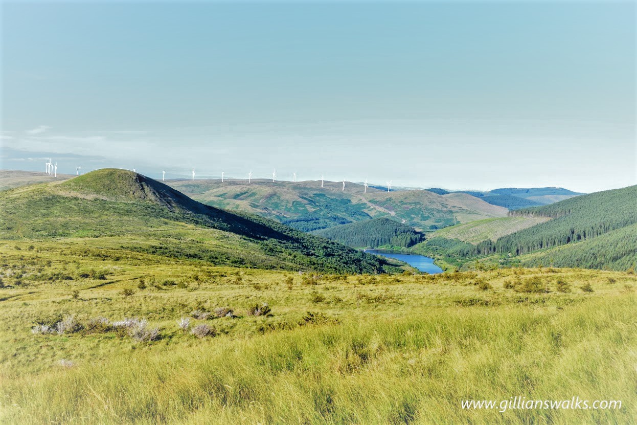
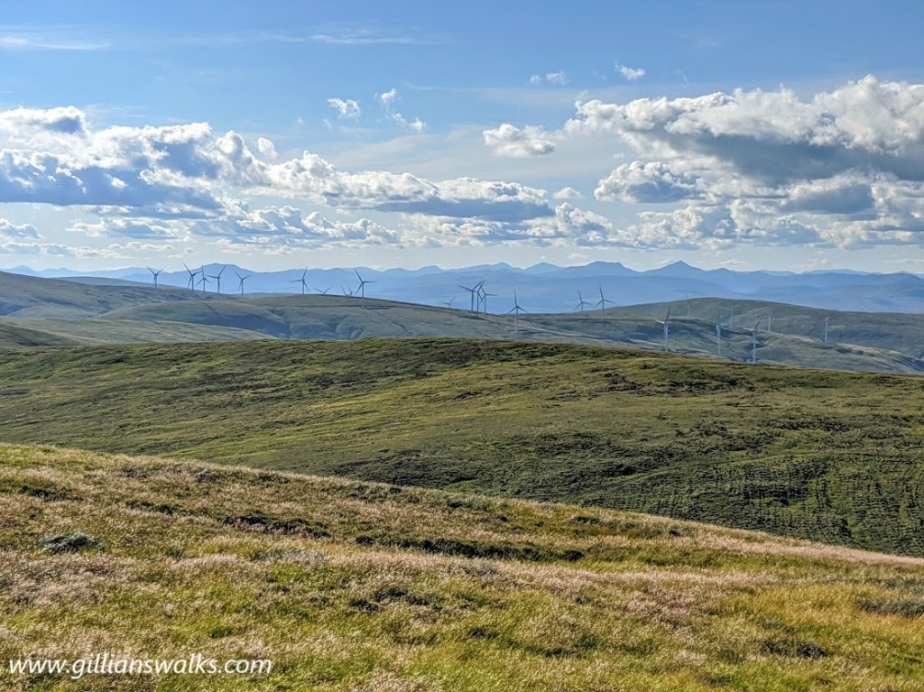
What an amazing day my sister and I had walking the Glen Sherup Horseshoe! We were blessed with warm, dry weather and pin sharp views extending east to the Lomond Hills and west to the southern Munros. We set off quite late in the day, at around 3pm…. with the promise of a long summer evening, why not?
This walk gave us a real sense of how extensive the Ochils are. Once up onto Whitewisp Hill we became aware of footpaths leading off in all directions and got very excited planning potential future hikes. Kings Seat Hill looked especially fabulous from this angle. It was all very well for us on a glorious day with full visibility, but I was also aware of how difficult navigation might be in low cloud when any one of these extra footpaths could easily be mistaken for your own if you weren’t paying attention. In particular the summit of Whitewisp Hill was featureless aside from the cairn and if someone was to spin you around a few times in thick cloud you’d be hard pushed to determine what direction you had arrived from. Featureless, wide and open, no boulders or trees around for miles, and pin sharp views, remember? Not the ideal spot then for my sister to decide she needed a wee….
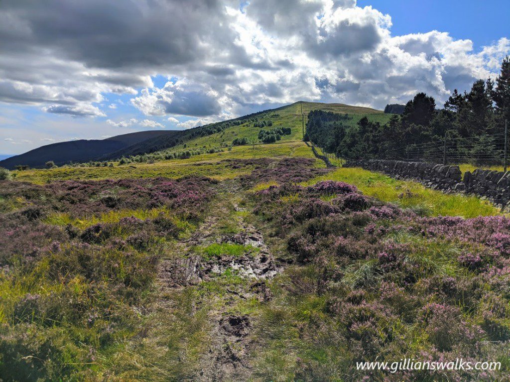
We hardly met a soul for the entire (almost 10) miles despite the car park being very busy when we arrived: a couple with a dog as we came up onto the open hillside, a solo female walker as we approached the top of Whitewisp Hill, a man and his young son setting up camp for the night at the summit of Tarmangie Hill (what a sunset they would have witnessed!), and a family walking their dog in the forest just before we arrived back at the car. That last one is particularly memorable for all the wrong reasons – their dog had left a (what we assume must have been massive since the dog was massive) doo doo at the side of the path which they had stopped to bag, and it was STINKING! We could smell it from way back, yeuch! The things that stick in your memory eh.
Leaving Tarmangie Hill – the highest point on this walk at 645 m/2116 ft- behind and knowing that the best of the views would soon fade as we descended, we decided to have a snack stop. Able to see that there was nobody around for miles, we plonked ourselves down right on the footpath and made short work of most of a packet of triple chocolate chip cookies. If it had been up to me we would have finished the lot but my sister was determined we should keep two each for lower down. She was right, as usual.
Ben Shee was quite a sight and looked intimidating for the end of a long hike! Fortunately by the time we reached it we were fairly high already and it was only a short hop skip and a jump to the top where the views more than made up for any effort put into getting there!
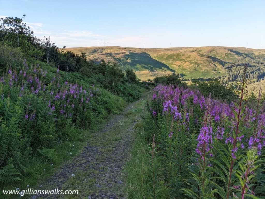
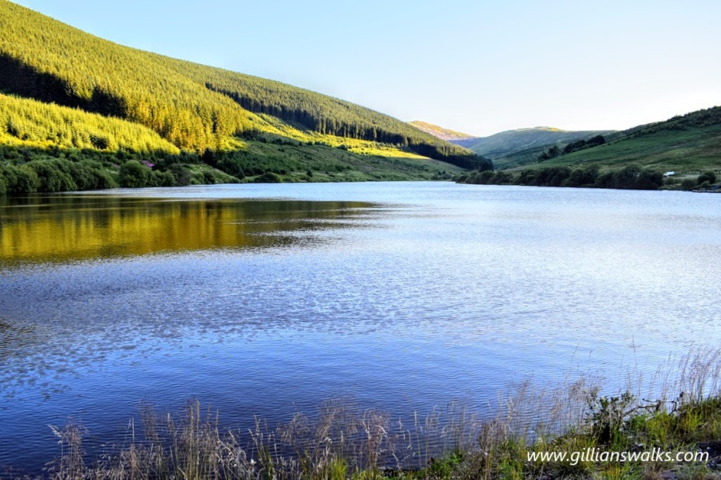
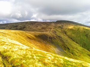
From there the track down to the reservoir was very pleasant and lined with rosebay willowherb at this time of year. It occurred to me that it must be little-used because there were wild flowers growing on the path itself too! As you can see from my photo below (middle), approaching 7.30pm by this point the evening sunlight was casting a beautiful light onto the Ochils, forming shadows in all the right places.
Now that we were down off the hillside I was given permission to eat my final two chocolate chip cookies and it felt good to rest my weary legs with a gentle stroll along tarmac for a short distance. Ending the route with a reservoir crossing was something a bit different and exciting and it definitely made me want to come back one day to check out the 8 mile Glen Sherup Reservoirs Trail.
