![]() Dog-friendly walk
Dog-friendly walk
![]() No public transport to start point. There are also very limited car parking options near the start of this walk. We found a place next to the Strathconon Estate sign on the north side of Inverchoran Bridge. This is approx 9 miles south-west along the single-track Achonochie Road from Meig Dam. Close to Contin and Muir of Ord.
No public transport to start point. There are also very limited car parking options near the start of this walk. We found a place next to the Strathconon Estate sign on the north side of Inverchoran Bridge. This is approx 9 miles south-west along the single-track Achonochie Road from Meig Dam. Close to Contin and Muir of Ord.
View Full Route Description
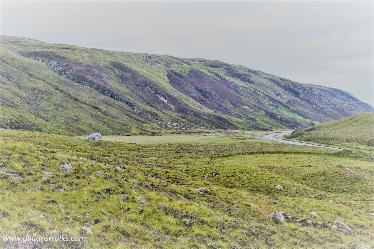
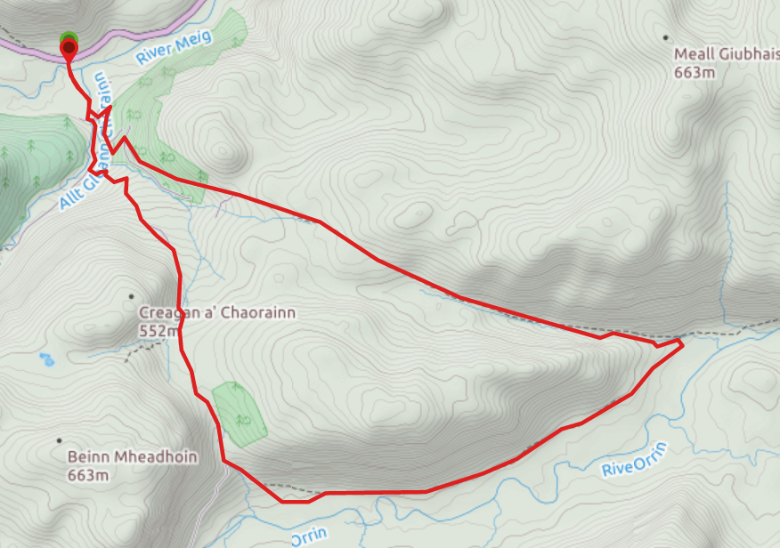
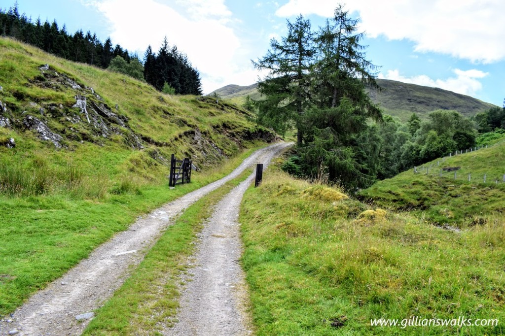
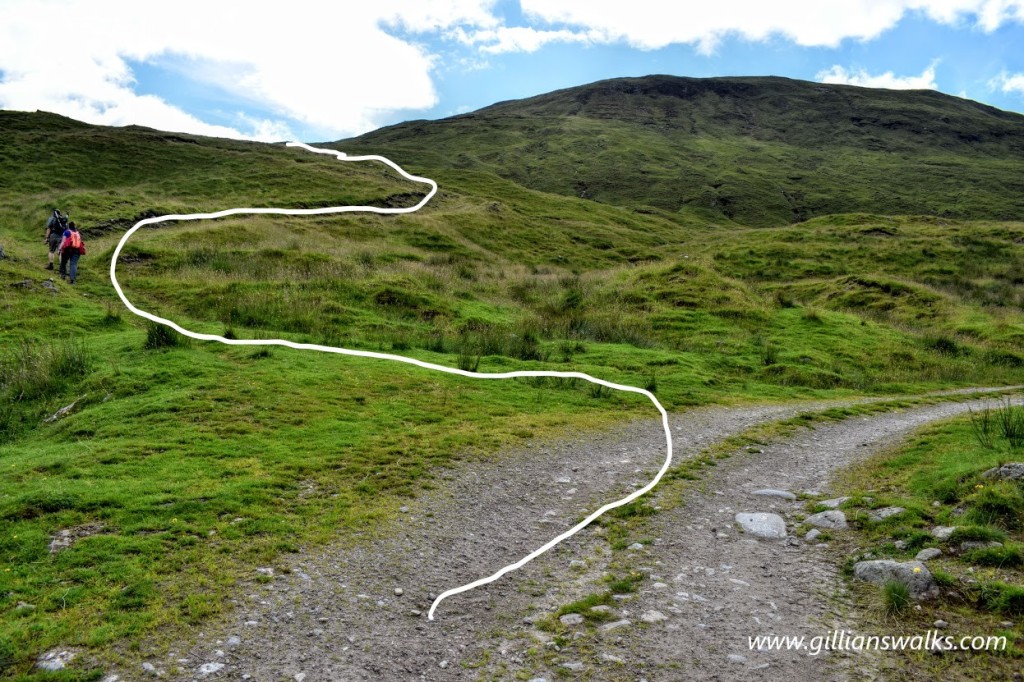
Starting at Inverchoran Bridge head south across the River Meig towards a small cluster of buildings which make up the remote hamlet of Inverchoran. On reaching the immediate vicinity of Inverchoran, keep left (South East) at a fork and then turn right (West) to cross a ford, therefore by-passing the main building. After the ford keep left (South) to follow the Allt Gleann Chorainn along a good track. The burn should be on your right-hand side. Look out for a less distinct, grassier path 400m along, winding its way uphill to your left (South East) – see photo below. Walk up this track for 2.3km and 245m ascent. When you reach 430m elevation the track begins to go gently downhill, arriving at an obvious fork 600m along. Take the left fork (South East). At the time of writing, just beyond this section the path was re-routed away from the one on the map for a short distance due to a regeneration project taking place to protect it from deer. If this is still the case you will soon pass through a gate in a deer fence into the protected area. The path becomes less distinct and boggier for a short time as you pass through this area cordoned off by deer fences. You will re-join the “main” path approx 1km along. Continue to head East and then North-East along a narrow footpath with the River Orrin to your right all the way along the glen. Luipmaldrig Bothy will come into sight approx 3km along Glen Orrin. The continuation of the route goes past the left (west) side of the bothy, up an embankment. It then follows the course of the Allt Gleannan Mall-luirge. The burn should initially be on your right-hand side with a steep drop down to it. Keep the burn on your right-hand side for approx 1km then cross a ford. The burn will now be on your left-hand side as you continue North-West along it’s edge. The path climbs gently to reach Loch Airigh Lochain over to your left where the land flattens out. Approx 3km from the ford, you will enter a forest where the path widens and descends steeply through the trees. You will reach a crossroads 800m down with a track to the right and two tracks on your left. Take the second left (South West) to continue downhill. A short 140m further down turn right (North West). This leads you downhill and brings you out next to Inverchoran. Re-cross the ford from earlier and retrace your steps to Inverchoran Bridge.
WALK REPORT: 1ST AUGUST 2020
I did this walk with my friends Eve and David who I’d been staying with on the Black Isle for a few days. I’d been mostly walking solo so far, exploring an area unfamiliar to me, and had therefore been sticking to coastal walks, way-marked trails, and so on. It was so nice to have company (and some local knowledge) and to get into the mountains of the Highlands!
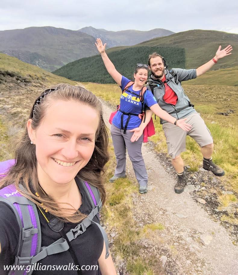
I made the classic mistake of mapping out the route on my mobile mapping app before leaving the house but forgetting to make it available offline…. There was zero mobile signal throughout the entire walk. These apps do work with GPS, but it needs a bit of 3G to load up the map detail. Oh well. Thankfully David was more organised and had his mobile GPS and paper map/compass with him. He was more organised in other ways too as it turned out: after driving for an hour, on arrival he parked up the car, got out, threw his rucksack on and he was ready to go! Meanwhile Eve and I needed the usual 10 minutes of faffing around changing shoes, putting things in bags etc etc. How good it would be, I thought, to be like David!
A few steps into the walk we overcame our first challenge – the cattle grid on Inverchoran Bridge!
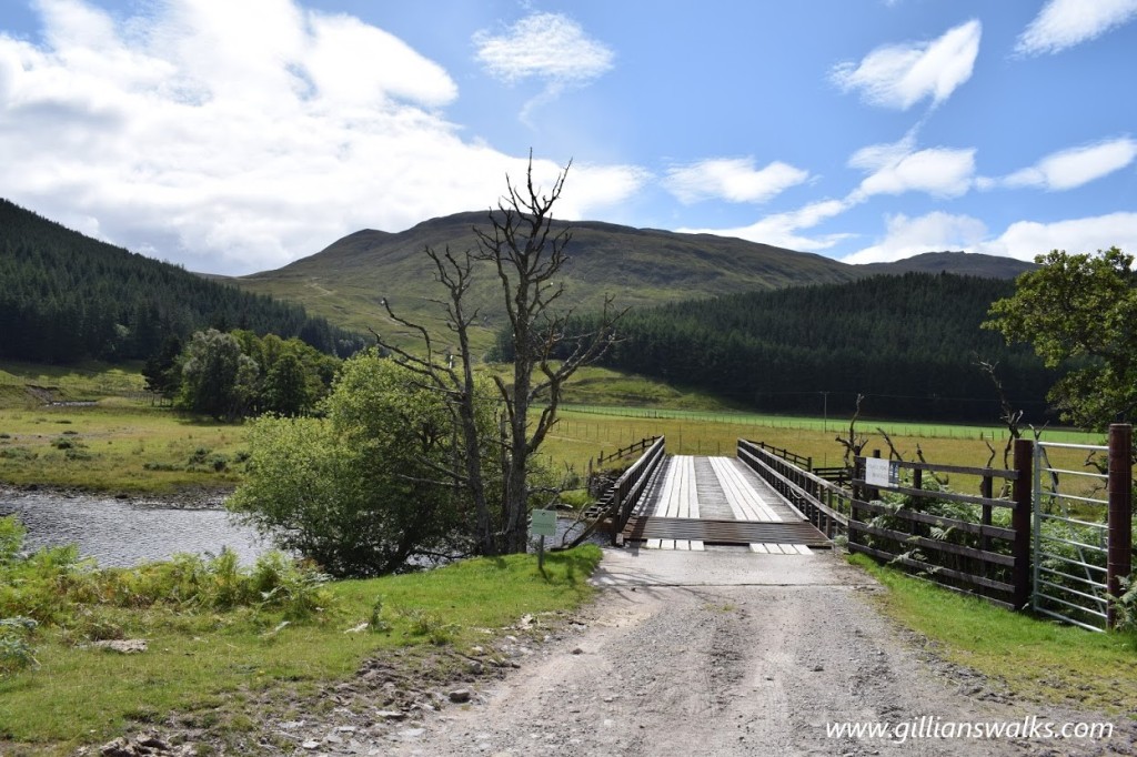
The next challenge was finding a way through Inverchoran: there was some signage at the entrance suggesting that we should not walk directly past the buildings but instead use the route on their map. The map was faded or water damaged though so we could not tell where they wanted us to walk. We set off to our left and after a bit more excitement in the form of a ford crossing we were on a good track and on our way into the hills!
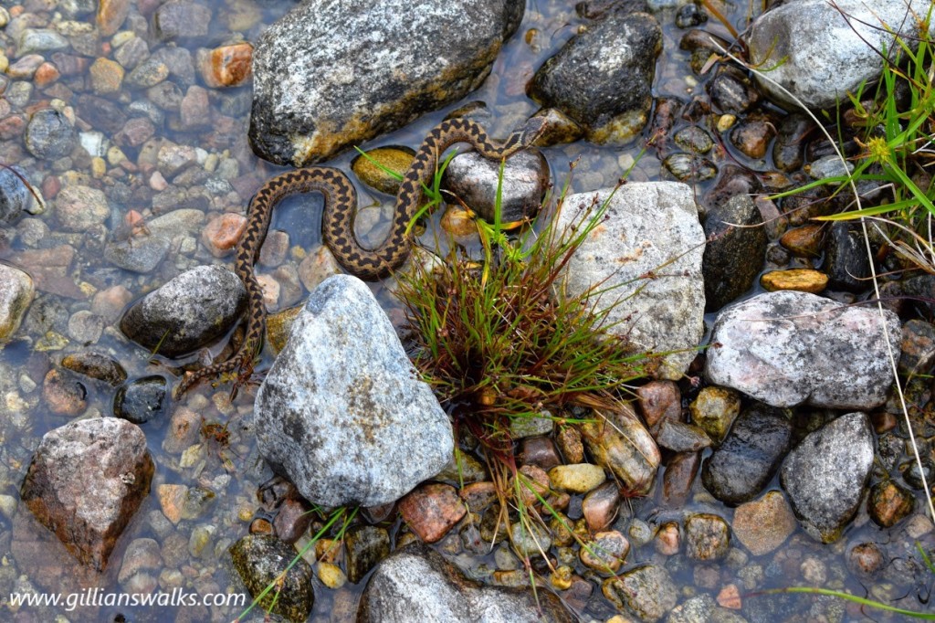
After a while of uphill walking, we started to descend towards Glen Orrin. There is a fork in the path and you can either walk east or west along the glen. When we left the house we thought we would make that decision once we got to that point so now here, we sat down to deliberate over some lunch. We took a while to reach our decision, each person more polite than the one before and happy to leave the choice up to one of the others! Finally we settled on the left turn which would take us along to Luipmaldrig bothy. What a fantastic choice it turned out to be! Almost immediately we went through a gate in a deer fence into a protected area and we all noticed a sudden change in the variety of flora and fauna around us. On one side of the gate, and for the duration of the walk so far, we had been surrounded by peaty moorland, just the odd piece of bog cotton to break it up. It had felt completely normal to me and I hadn’t given it a second thought. Beyond the gate it was as though I had gone through the wardrobe into Narnia: a carpet of vibrant colour and different plant species. It was wonderful. It was also in this area that we spotted an adder! It was so surreal because in the car on the way here we had a conversation about how rare it is to see an adder and that only one of us had ever seen one despite many days spent in the hills. And then we almost stood on one! We were delighted 😀
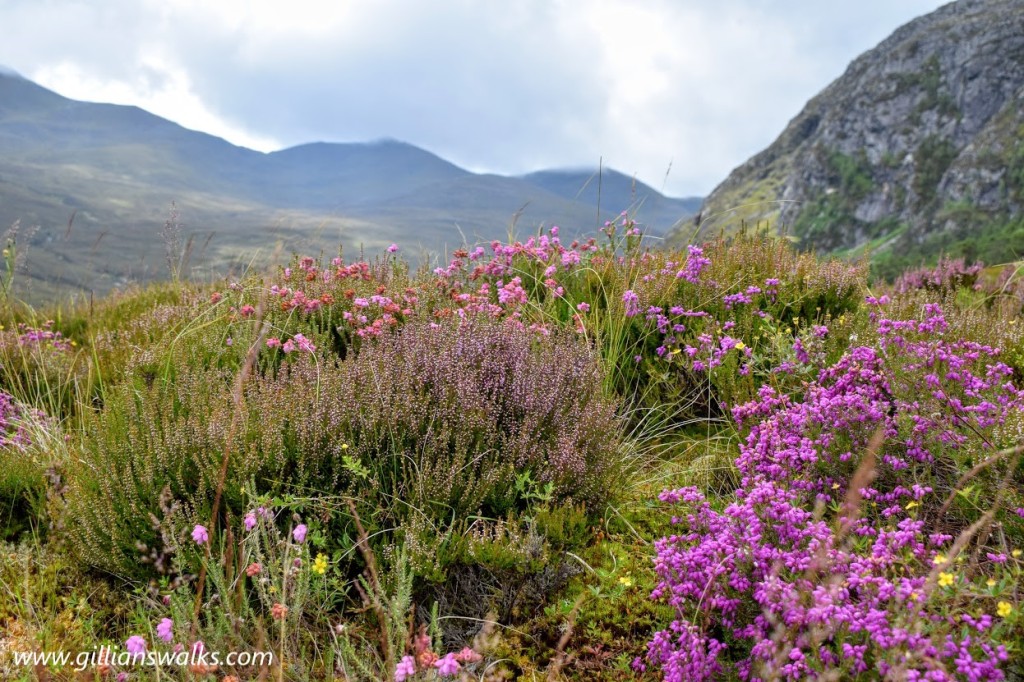
The walk through the glen to the bothy was delightful and I couldn’t stop taking photos of the surrounding mountains. So remote – I was definitely in my happy place!
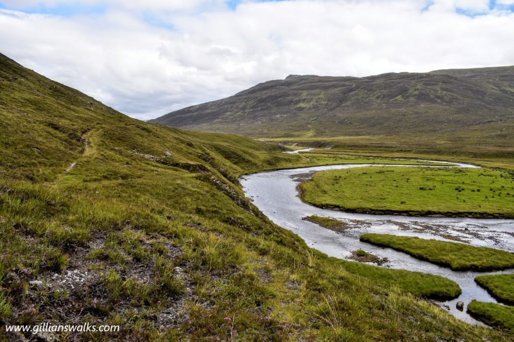
We found the bothy to be locked so we didn’t attempt to go inside. From what we could see it looked to be in excellent condition. We sat outside and enjoyed a hot drink whilst admiring the views and taking in the sense of solitude we felt as a result of having walked for several hours and not met a single other person in this great wilderness.
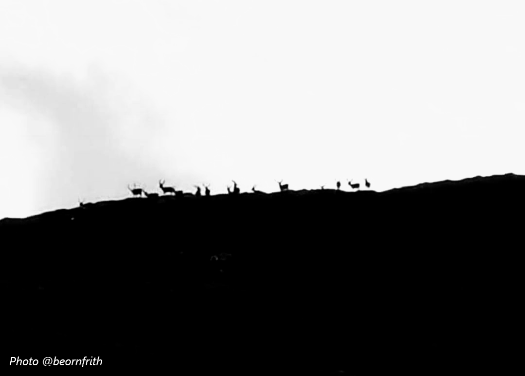
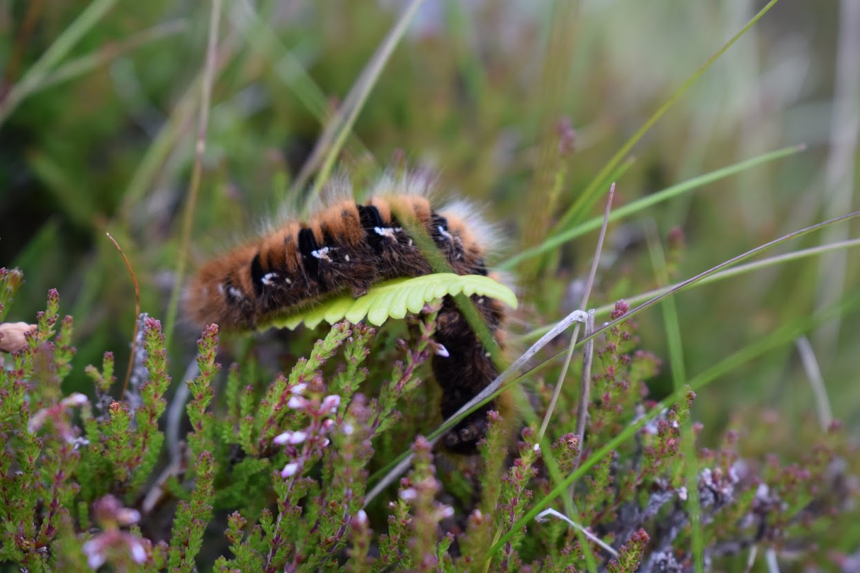
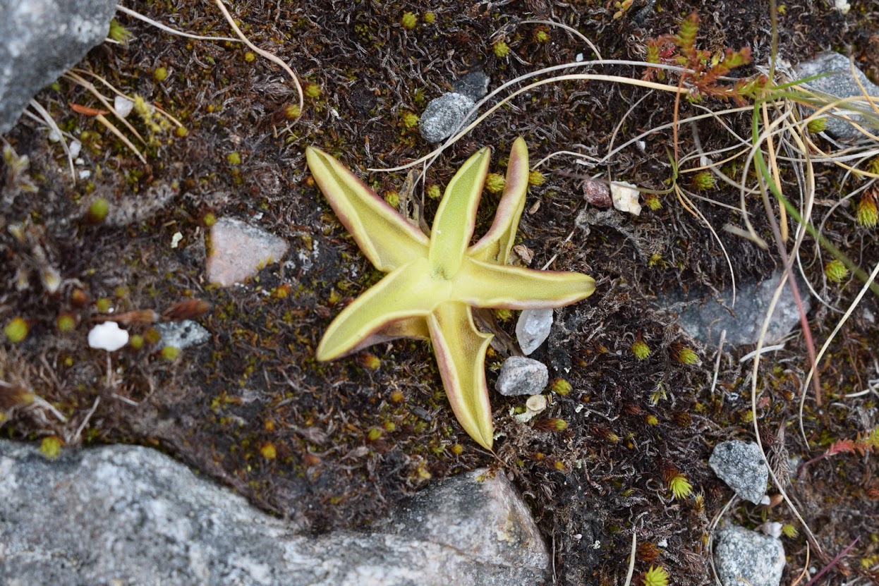
The next part of the walk was just as beautiful as the rest had been and had its fair share of exciting elements: another ford, a steep drop to our right (not great for Eve who suffers from vertigo but I loved it!) looking down onto several small waterfalls on Allt Gleannan Mall-lurige, funny star-shaped plants, a hairy caterpillar, and last but not least a herd of some 15 or so stags! I had been keeping an eye out for deer the whole day so I was over the moon to spot a couple of antler silhouttes on the ridgeline above us. As we stood and watched them, more and more appeared as though they were coming to have a look down at us. It wasn’t until David took a photo and we zoomed in that we could see just how many there were. A little later we saw another herd (possibly the same one) grazing on the hillside. It was such a treat to see so many of them in their natural environment. Spotting deer always reminds me of hillwalking days with my family when I was little, and especially my dad who always looked out for them. I couldn’t wait to tell him what I had seen today! Magical. Though what it did was make me a become bit greedy: an adder, a whole herd of stags…. what would just round it all off would be to see a golden eagle! Haha this was another creature that my dad loved to see in the mountains but of course it is so rare to have that privilege. We didn’t see one today either, although very close to the end we did spot several Red Kites circling the hillside around Inverchoran.
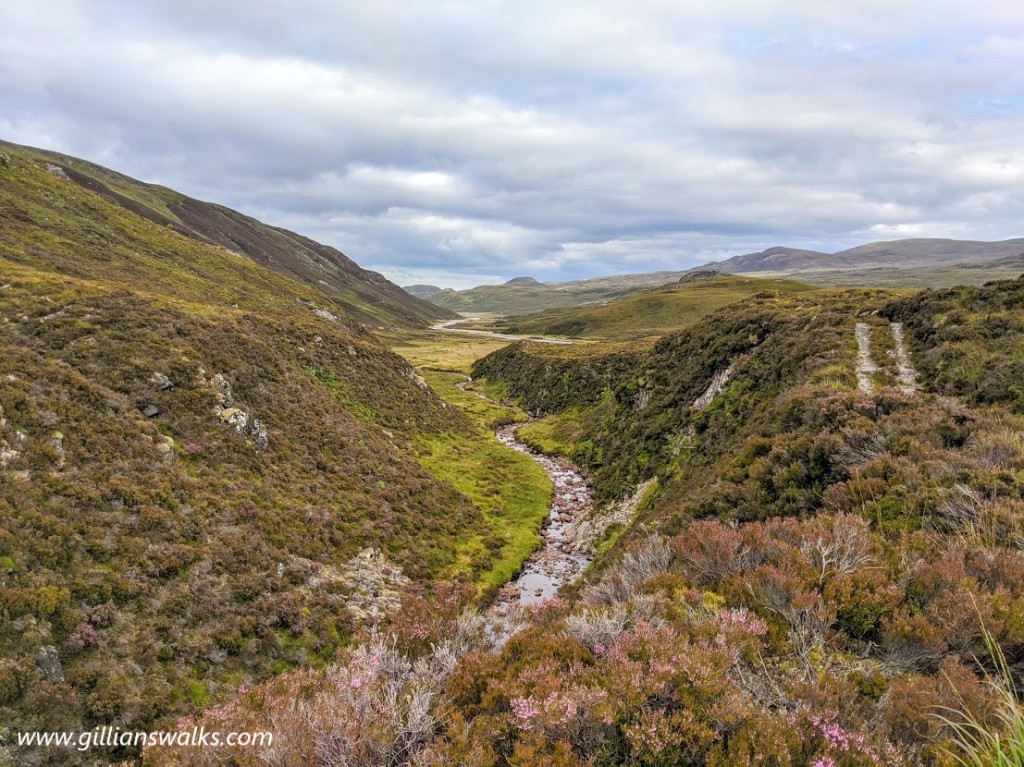
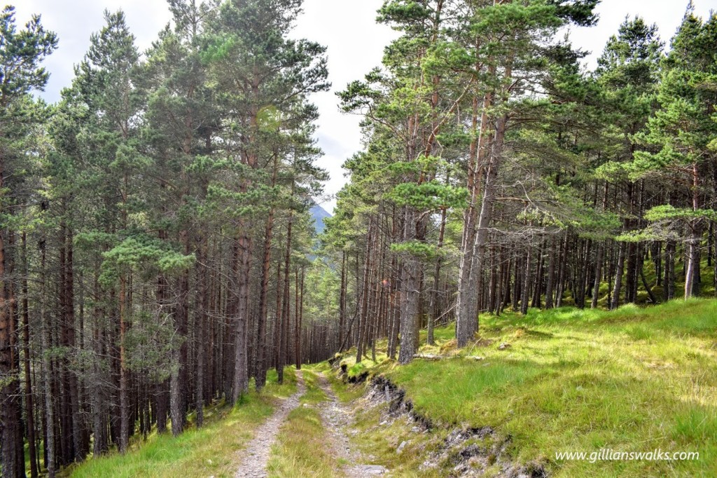
The final section though forestry came as a bit of a surprise and was a welcome change of scenery for a short while. As we trotted down through it our minds started to wander to dinner and a well-deserved and pre-planned chinese takeaway! All in all a fantastic day out and I would go back to this area in a heartbeat. I would love to try the circular walk starting off the same way but heading west into Glen Orrin where the path forks. From the map it looks like the path on that side of the glen passes alongside several lochs before turning uphill and into Gleann Chorainn where it follows the Allt Gleann Chorainn all the way back to Inverchoran. Next time for sure!
