TERRAIN: a mix of surfaced minor roads with no pavements, cycle path, earth and gravel tracks. Walk is mainly level for the first half with the exception of a short section up a steep embankment to access the cycle path from the road below. Gentle uphill section on the way back.
![]() Small parking area next to the play park on Kilmaurs Rd, Knockentiber and on-street parking on the surrounding residential streets. Closest train station is in Kilmarnock, 2 miles outside of Knockentiber. Local bus services to Knockentiber stop on Kilmaurs Rd at the start of the walk. Knockentiber also sits on the NCN73 cycle route so can be reached easily by bike from Kilmarnock or Irvine, although there are no formal bike parking facilities in the village.
Small parking area next to the play park on Kilmaurs Rd, Knockentiber and on-street parking on the surrounding residential streets. Closest train station is in Kilmarnock, 2 miles outside of Knockentiber. Local bus services to Knockentiber stop on Kilmaurs Rd at the start of the walk. Knockentiber also sits on the NCN73 cycle route so can be reached easily by bike from Kilmarnock or Irvine, although there are no formal bike parking facilities in the village.
View Full Route Description
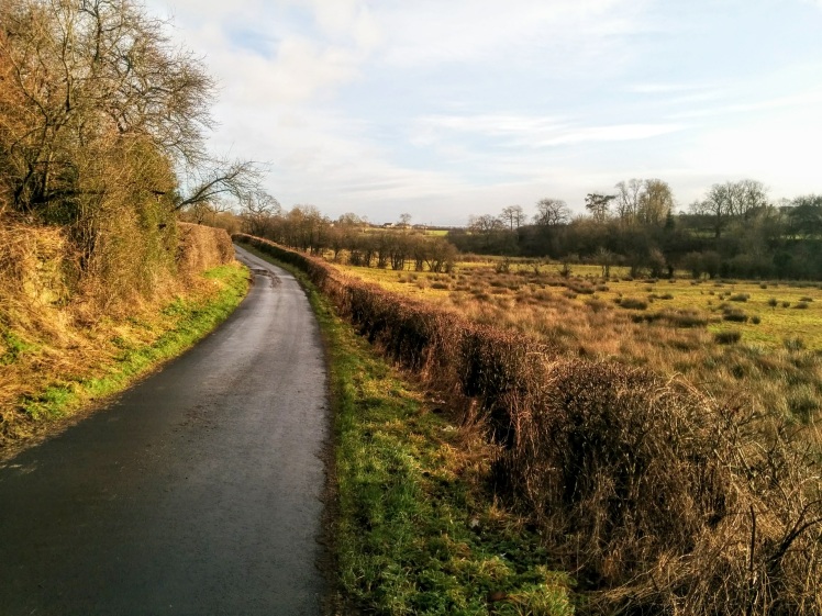
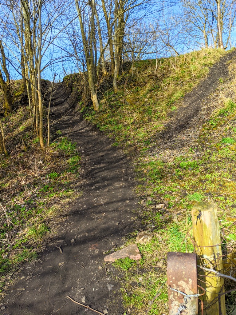
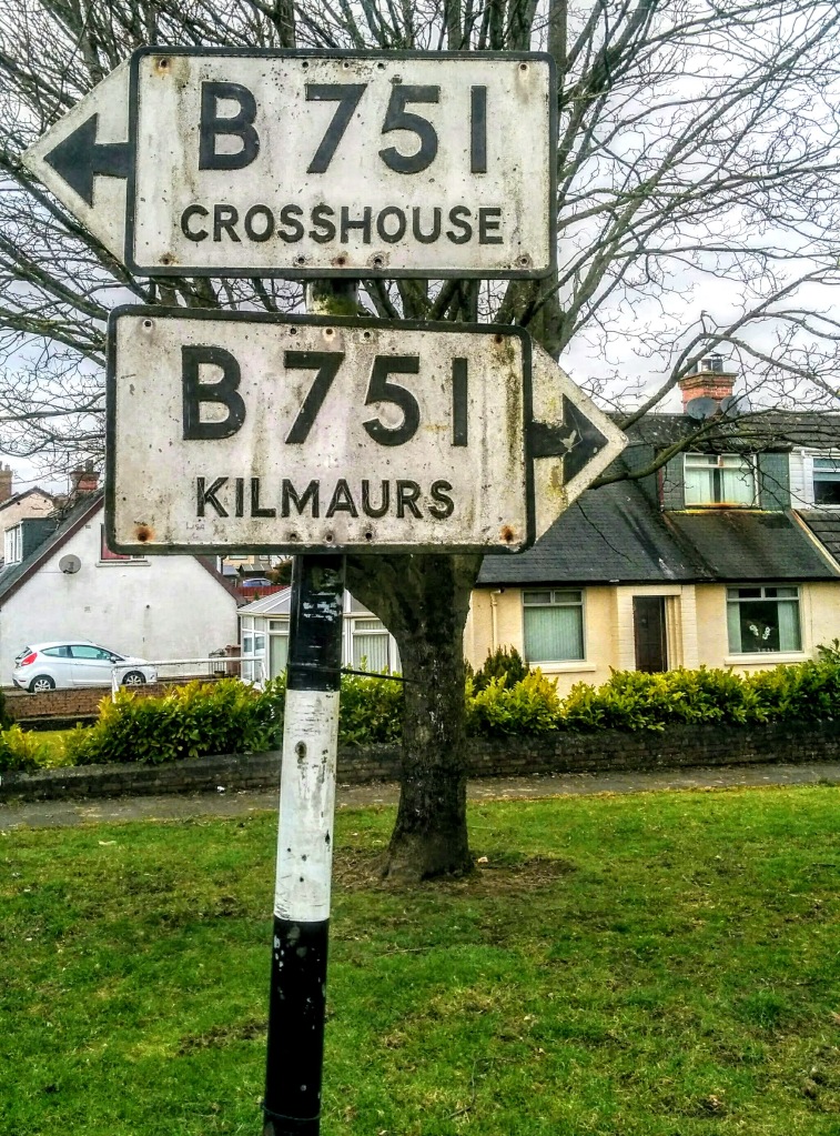
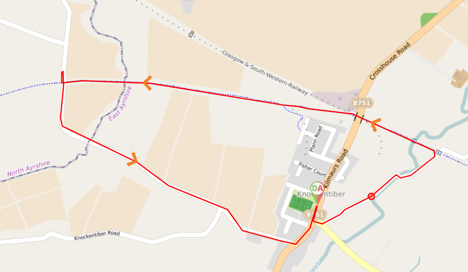
Facing Kilmaurs Rd, with the play area behind you, turn right (South West) and walk along Kilmaurs Rd. After a short 50m turn left (South East), crossing over Kilmaurs Rd onto Bonnyton Rd. Almost immediately turn left (North East) onto a single track road. Continue along this road for 600m, crossing the Carmel Water and then heading towards a railway bridge. Just before reaching the railway bridge, look out for a footpath going up the embankment on your left. It is a short, steep earth track leading onto the cycle track above [options to avoid the embankment detailed in Walk Review section below]. Go up the embankment and turn left (North West) to walk along the cycle track. Continue along the cycle path for approx 1.7km. Along the way you will cross the Carmel Water again, go through a tunnel, cross the Garrier Burn and walk beneath a road bridge. When you arrive at the road bridge, turn right (North) along a track, emerging onto a minor road. Turn right (South) and follow this road for 1.4km back into Knockentiber. At the end of the road, next to the Tiber Tavern, turn left (North East) and walk along B751, arriving back at the play area after 200m.
WALK REPORT: 27TH AUGUST 2022
I used to lead this route regularly when I was a volunteer health walk leader with the Active Travel Hub in Kilmarnock. It’s a great route if you’re looking for something short and not too strenuous. Once you’ve done it a couple of times and know the route, it has the added benefit of being one of those walks you can just plod along, chatting to your walking buddy, not having to pay too much attention to what way you’re going.
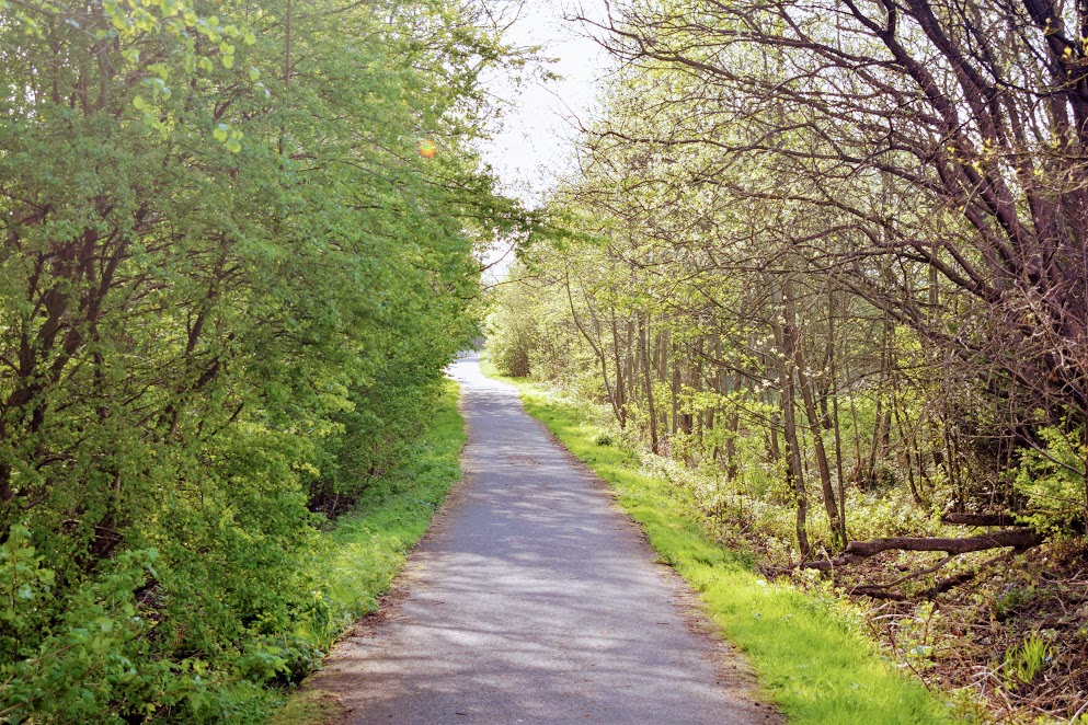
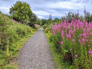
I particularly enjoy this one in the spring and summer months when the cycle path becomes a rainbow of colours from the vegetation growing along the sides.
There is only one section which some people might find challenging and there are options to avoid it if you decide you fit into that category. To get up onto the cycle track from the road, there is a path which has been worn into the embankment and it is fairly steep towards the top (see photos below). People have been along before you and attached rope to the trees acting like a banister so there is that to help you if you need it, or I like the old fashioned option of the person behind you giving you a wee push :-D. Ideally there would be steps built here but it’s a super short section and in all the times I’ve led groups here nobody has ever had to turn back.
If you have a buggy or bike with you or you take a look at it and decide it’s not for you, then you can continue along the road a bit further until you reach South Woodhill Farm. Turn right down the farm track and through the gate at the bottom and voila – you are on the cycle track. Turn right to continue the route as above. This will add 1 mile (1.7km) onto the total route distance, making it 3.5 miles (5.6km).
Another option is to decide from the beginning of the walk that it doesn’t sound like the embankment path is for you and in this case from the play area turn left along Kilmaurs Rd instead of right. You’ll arrive at an access path to the cycle track approx 400m along. Turn left once on the cycle track and continue the route as detailed above. This will reduce the walk length to 2 miles (3.4km).
