Extend the walk by combining it with the Commoncraig & Wee Glen route, creating a 5 mile figure-of-eight.
TERRAIN: mixture of surfaced pavements, roads, woodland trails and gravel tracks. Paths through Millenium Woods can be very muddy. Some steep hilly sections and two kissing gates.
![]() Dog-friendly route – responsible dog owners are welcome on the Dunlop trails (note: chance of encountering livestock on this route)
Dog-friendly route – responsible dog owners are welcome on the Dunlop trails (note: chance of encountering livestock on this route)
![]() Dunlop is easily accessible by train on the Glasgow to Kilmarnock line. The walk begins from the train station. There are also local bus services to Dunlop which stop on Stewarton Rd/A735, a couple of minutes walk from the start point. Car parking available at the train station and on-street around the village.
Dunlop is easily accessible by train on the Glasgow to Kilmarnock line. The walk begins from the train station. There are also local bus services to Dunlop which stop on Stewarton Rd/A735, a couple of minutes walk from the start point. Car parking available at the train station and on-street around the village.
View Full Route Description
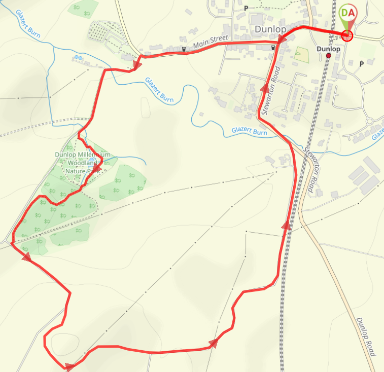
From the top of the ramp at the entrance to Dunlop Train Station just off Glazert Road, turn left (W) to walk along Newmill Road. At the mini roundabout continue straight ahead onto Main Street/A735. Turn first right (W) onto Main Street/B706. When you arrive in front of Dunlop Kirk turn left (SW) to go downhill onto a single track road. Approx 300m along this road you’ll reach the entrance to the Millennium Woodland Nature Park. Go through the gate and keep left (SE) to cross two small bridges. You’ll see the Dunlop cairn and weather vane on the hill ahead – it is worth a short de-tour to see it if you have the energy to climb up the embankment – then continue along the path to a kissing gate on your left (the ground here can get very muddy). Go through the kissing gate then turn right (SE), following the gap in the trees uphill, turning left (SW) at the top to walk parallel to the road. You’ll arrive at a metal gate leading out onto a single track road. Go through it and turn left (SW). Approx 150m along this road you will reach the remains of Templehouse on your right. Have a look around if you wish then return to the road and continue along. Just around the corner come off the road and head up the grassy hill on your left on a narrow earth footpath. Keep right (SW) at the fork to walk along the edge of the hillside, admiring the views to Arran, and Ben Lomond on a clear day. The path takes a left turn after approx 50m, heading into the woods. When you emerge out the trees at the other side, turn left (NE). Go through the kissing gate 100m along and follow the farm tracks downhill to a single track road. Turn left (E) and walk along the road for 600m, passing some cottages along the way, as well as the former cricket lawn on your left. When you emerge out onto the Stewarton Road/A735, take care crossing over then turn left (NW) to walk along the roadside pavement for approx 600m, arriving back at the mini roundabout from earlier with the train station a short distance further along.
WALK REVIEW: 23rd May 2022
Considering that Dunlop is so easy to get to from Kilmarnock by train (only 3 stops) it’s a wonder I’d only been there once before, when I did the Stewarton to Dunlop walk. The village did make a good first impression and I always said I’d be back to explore more.
A post on my Facebook page asking my followers to complete the sentence “I wish Gillian’s Walks would…..” was answered by the page Visit Dunlop. They simply wrote “I wish Gillian’s Walks would Visit Dunlop!” And so I did! And I invited Ruth Wilson, owner of the Visit Dunlop Facebook page to be my tour guide.
Ruth took me on two walks: this 2 mile one and the 2.8 mile Commoncraig & The Wee Glen.
First up was a walk through the beautiful conservation area of Dunlop village. Lined with pretty cottages, “Main Street” has quite possibly the narrowest pavements I’ve ever seen! I imagined what it might have looked like back in the olden days: cobbled street, traffic-free, horse and cart the transport of choice. Nice! I learned that this very street was used as a film location for the Channel 4 drama series Deadwater Fell (which admittedly is still on my “to-watch” list).
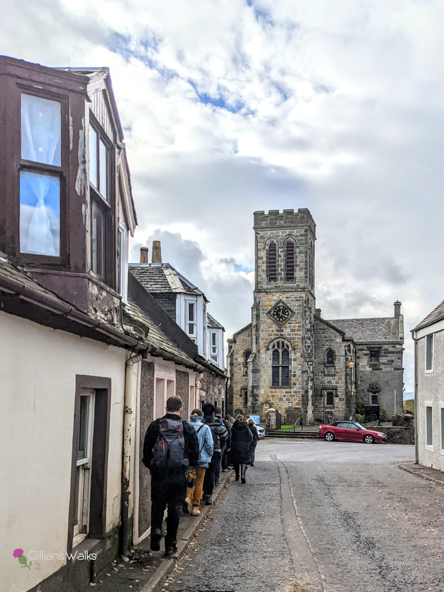
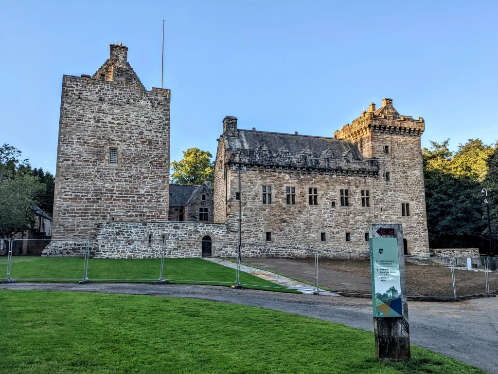
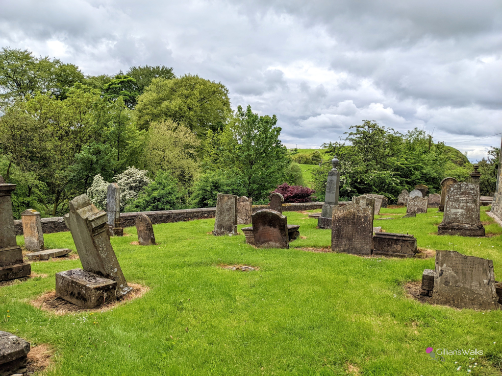
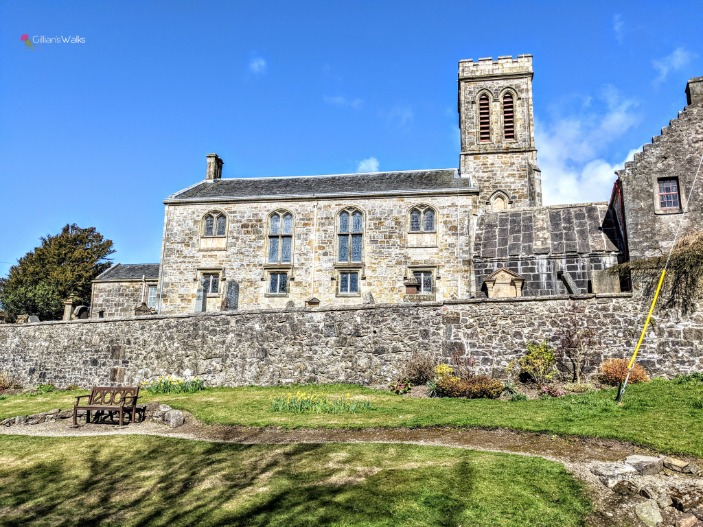
At the end of this street sits Dunlop Kirk and Ruth took me in to the graveyard to see the historically significant Hans Hamilton tomb, as well as many ancient gravestones including those of the Gemmell family, after whom this walk is named. Had I been here alone I would most likely have walked right past, not knowing any of this was here. So I highly recommend taking some time to look around before continuing on with the route.
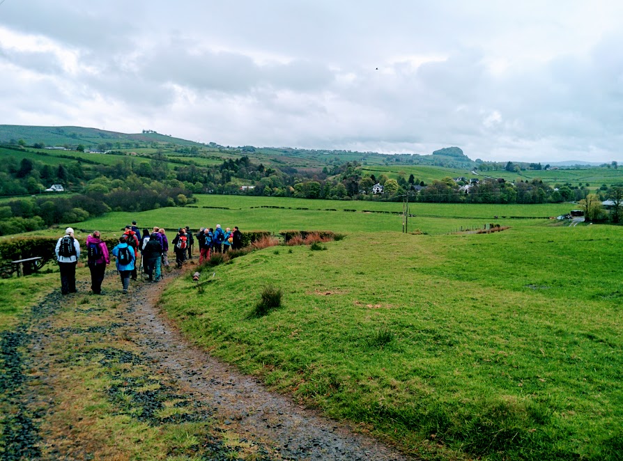
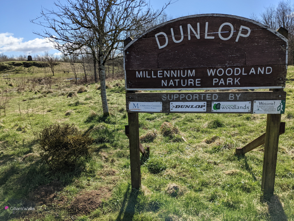
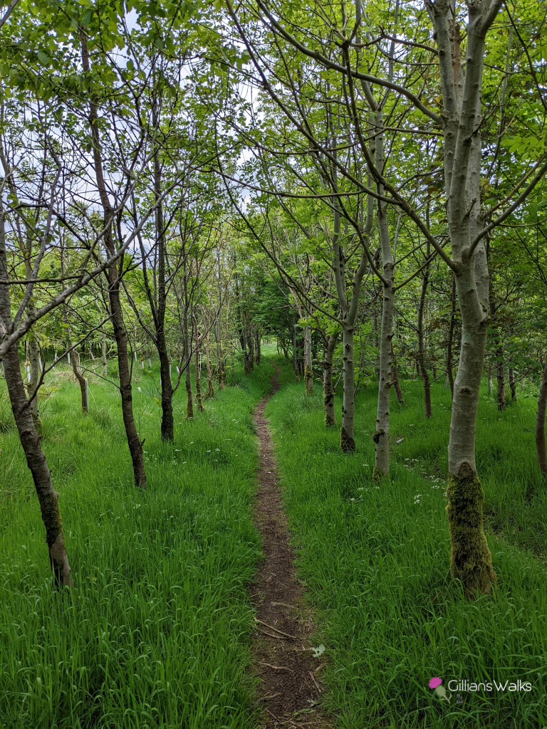
We were now out in the countryside and approaching the Millennium Woods. This was one of many Dunlop projects carried out in celebration of the year 2000. We visited one area of the woods where lots of trees had been planted, each one numbered and sponsored by a local family. An information board beside it contained a map identifying the location of each tree number and which family it belongs to. What a lovely idea! We tried to find Ruth’s grandparents and parents’ trees but sadly many of the ID numbers had come off the trees so it was quite difficult to pinpoint them. We commented that it might be a good project for the local school or other interested group to take on – re-numbering all the trees and tidying the area up a bit.
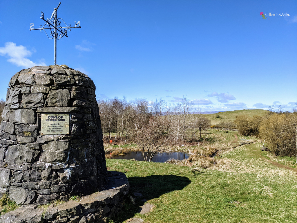
The Millenium Woodland Nature Park – also known as Templehouse Woodland – is also home to a small pond, some picnic benches and a stone cairn with a weather vane on top. It is criss-crossed with various informal footpaths, many of which become very boggy after any rain. It’s a lovely peaceful spot just outside the village.
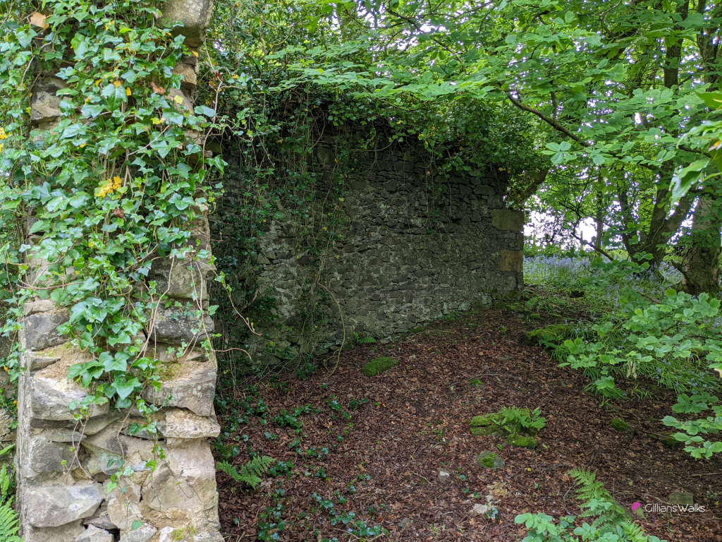
It wasn’t long until the next (the main??) attraction on the route: the remains of Templehouse. Located right next to the road, these ruins are known locally as Minnie Gemmell’s, since she was the last resident of the building. According to Wikipedia, Minnie lived here until she died in 1962 and had no mains electricity or water! 1962 doesn’t seem like that long ago….. It always amazes me how quickly nature takes over buildings. It was really interesting exploring the grounds.
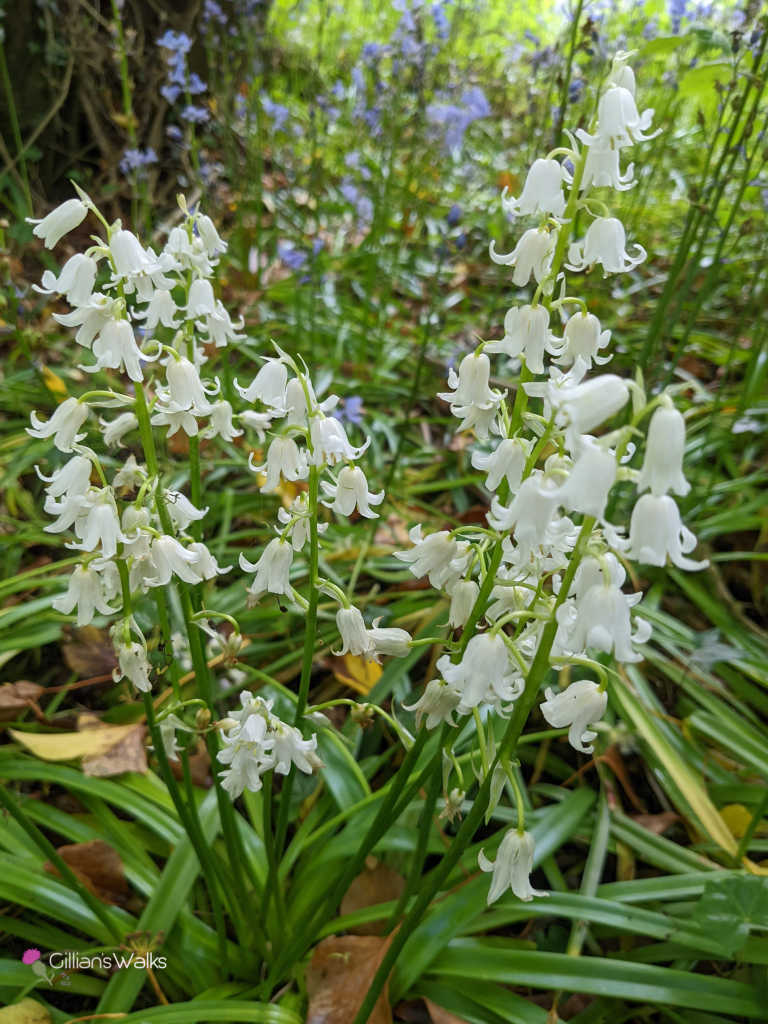
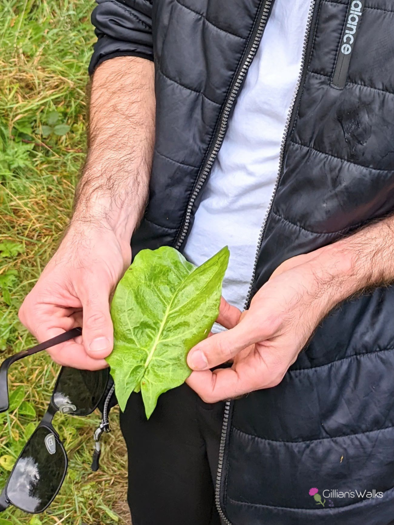
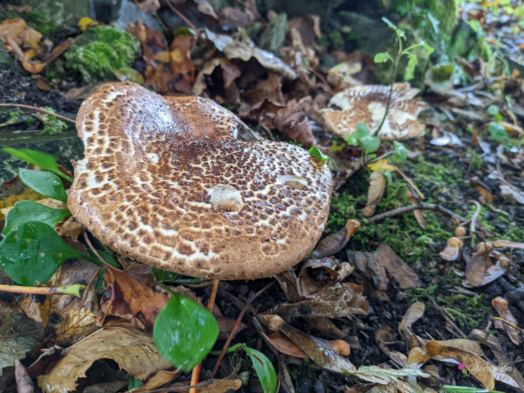
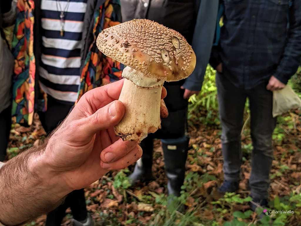
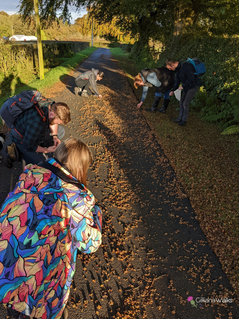
At the time of my visit in late May there were lots of bluebells growing. Blue ones, pink ones, white ones…. I recognised that there was a mix of native and non-native species which was interesting: native British bluebells tend to “droop” to one side because the flowers all grow on one side of the stem, pulling them over. The non-native species has a more evenly distributed spread of flowers all around the stem and therefore stands taller. I have since been back here in Autumn delivering a guided fungi and berries foraging walk and we came across some nice species of fungi and some highly-sought-after culinary plants in and around the grounds! Definitely an interesting little spot!
Ruth explained to me that there are old photos which suggest that the field opposite this ruin (“Minnie’s Meadow”) used to flood with water in winter which froze and became the village curling pond!
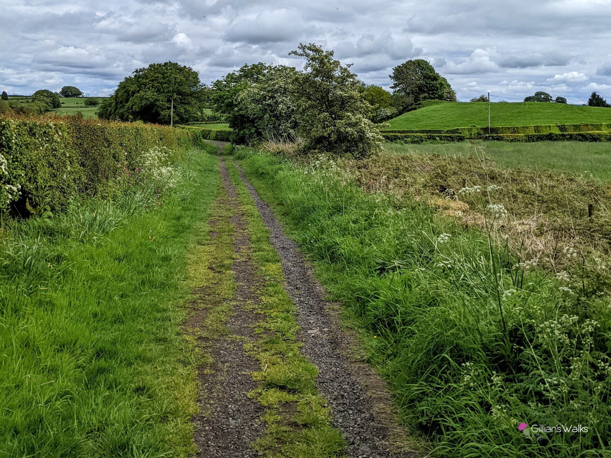
Leaving Minnie Gemmell’s behind, we soon found ourselves on high ground with a very unexpected view – we could see the Isle of Arran to the west and even as far as Ben Lomond to the north! Does Dunlop have it all?? A short walk through the woods up on this hillside took us to a kissing gate leading to a farm track (see cover photo) and the return route to the village.
The single track road leading back to the village took us past what Ruth explained was the former cricket lawn. Nowadays it just looks like a field so I would easily have walked past it without realising its significance if I hadn’t had my local tour guide with me. All that remains is the foundations of the old clubhouse, if you know where to look!
No walk is quite the same without cake and a coffee at the end, and Dunlop boasts TWO excellent options both very close to this route: be sure to check out Struther Farmhouse Cafe & Shop and Idle Hands shop & Bakery.