Want something longer? On reaching Sorn Parish Church, cross the old bridge and continue onto nearby Catrine via one of the best riverside trails in Ayrshire, with views of a 600 year old castle and a historic weir and voes system which once powered cotton mills. Just follow the River Ayr Way marker posts. Adds approx 1.7 miles.
 Start point: The Boswell Centre, Auchinleck, KA18 2LA
 End point: Sorn Village
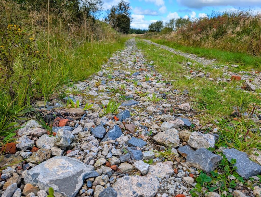
TERRAIN: Graded easy. Expect a combination of surfaced roads and pavements, earth woodland trails (can be muddy/ a bit overgrown), farm tracks, and rough gravel/rubble forestry tracks. A small amount of gentle ascent/descent but mostly flat. No stiles or steps. Note: if there has been a lot of rain beforehand the trails can become saturated/boggy with some flooding in places.
 Dog-friendly route (note that there are usually sheep in the fields beside the route around Berryhill Farm – please be a responsible dog owner)
 Auchinleck train station is only a few mins walk from the route start point and there are regular bus services to/from Auchinleck. Parking is available at The Boswell Centre in Auchinleck (please check opening times on their website so you don’t get locked in!) or across the road at the Indoor Bowling Club. In Sorn on-street parking is available on the Main Street, however please note that there are no bus or train services to/from Sorn village so you will either need to leave a car at each end or continue on to Catrine (adds 1.7 miles – see info at the top of this page), from where there are frequent bus services back to Auchinleck.
 There are toilet facilities at The Boswell Centre in Auchinleck during opening times.
View full route description
This route description is designed to be used in conjunction with the digital map which I have created on Visorando for the walk.
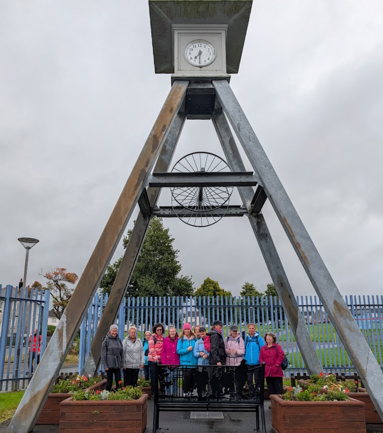
Begin your walk at The Boswell Centre, Auchinleck, where there is an excellent exhibition about the Lost Villages of East Ayrshire – well worth a visit before you set off.
Exit the car park from the A-Frame clock tower and walk up the lane towards a row of shops on Well Road. Turn left onto Church Street. Take the fourth right onto Stoner Crescent, at the end of which you can access the woodland trails.
Once on the woodland trail, continue ahead/keep left at three forks. The route then splits (waypoint 4) – take the higher option onto what looks like an old railway track bed.
After only approx 100m (at waypoint 5) turn right off this main path onto a less distinct trail through a clearing in the trees.
You will reach a small ford on the Dippol Burn – if the water is too high to cross, turn left along the edge of the burn for approx 250m where you can cross more easily via a small bridge (waypoint 7).
The trail takes you up towards some overhead cables and onto a more well-used trail. Turn left along this trail, go through a tall metal gate then turn left along the road (waypoint 12). At the end of the road turn left then immediately right.
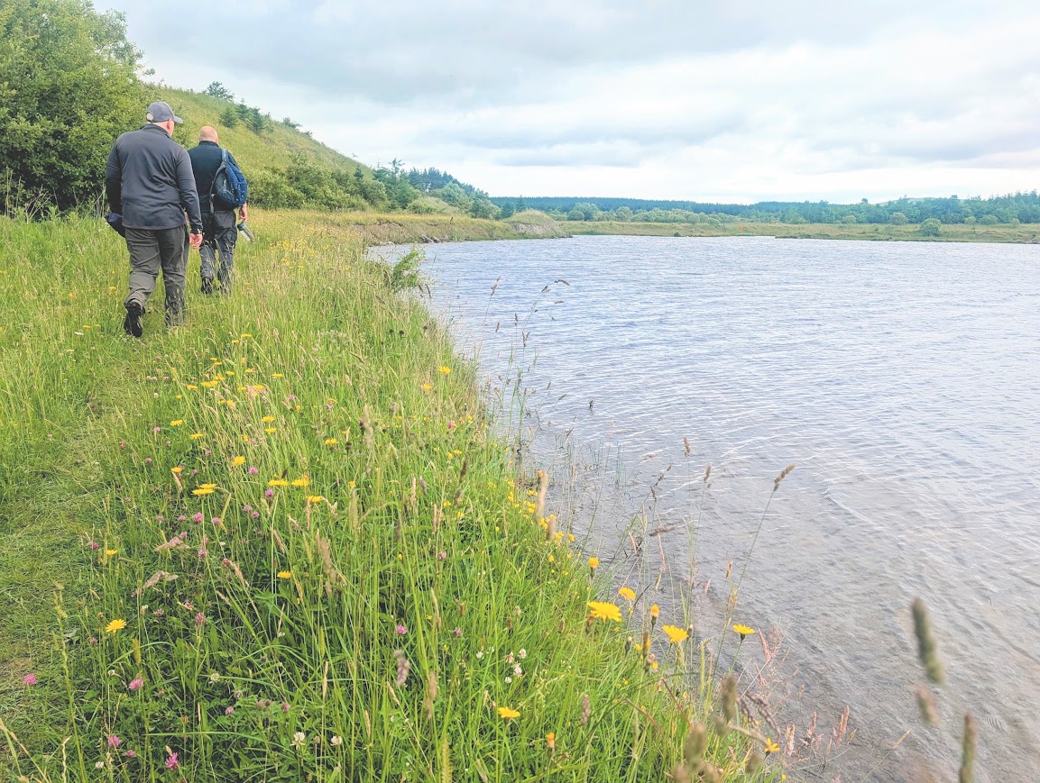
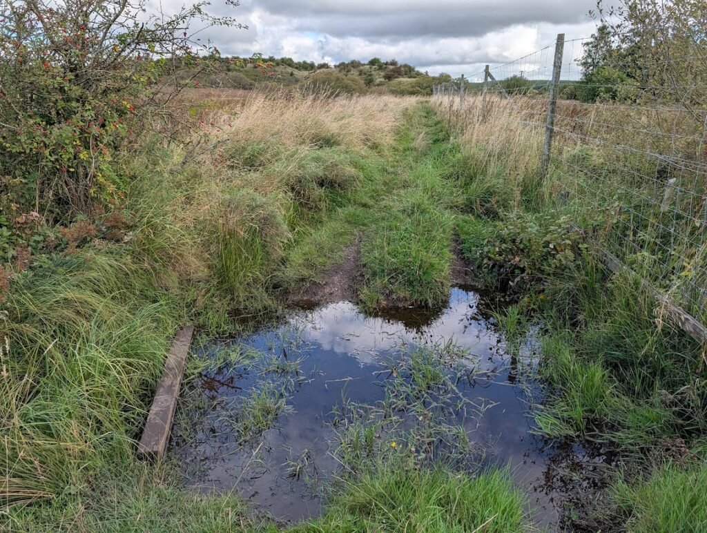
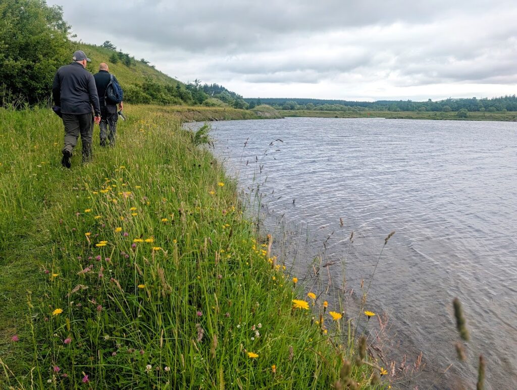
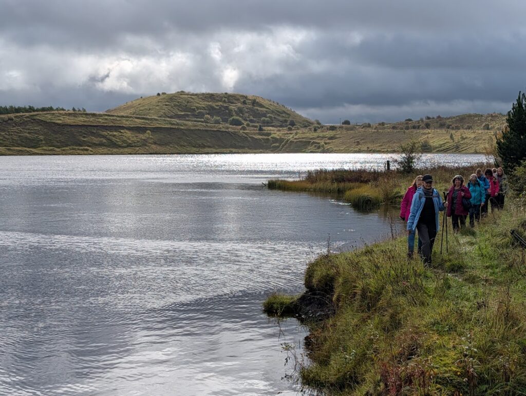
Approx 200m beyond Roundshaw Cottage turn left to walk along the edge of a deer fence. Caution: there is a dip on this track which often gets flooded. Continue ahead until you reach the banks of a large loch (waypoint 17).
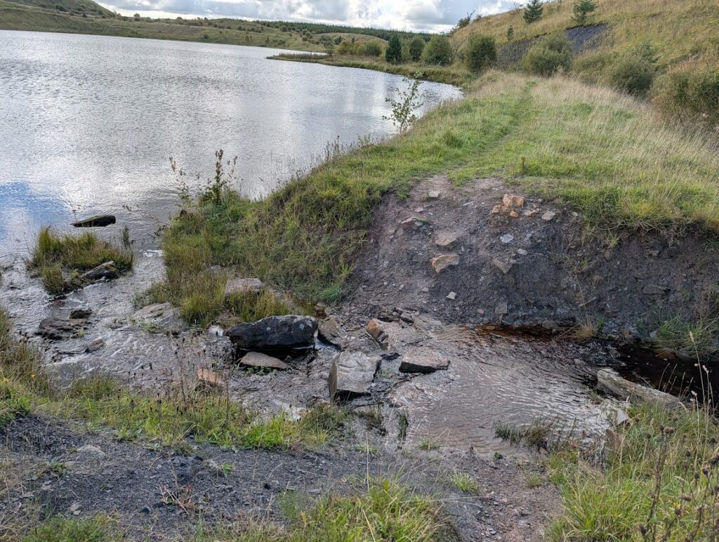
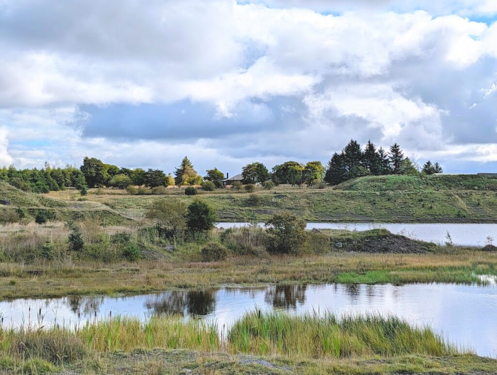
Turn left along a narrow trail which takes you round to the northern edge of the loch (via another ford). When you reach a small bing the path splits (waypoint 19) – keep right to go around the bottom of it. The track leads you away from the loch.
At the end of the trail (waypoint 20) turn left along a forestry track.
After approx 800m this emerges onto a rough gravel track – continue ahead here and eventually through two gates leading to Glenshiel House (waypoint 25). Go past the house then turn left along the minor road for a short distance to the Shiel Farm access road – here turn right onto a track (waypoint 26).
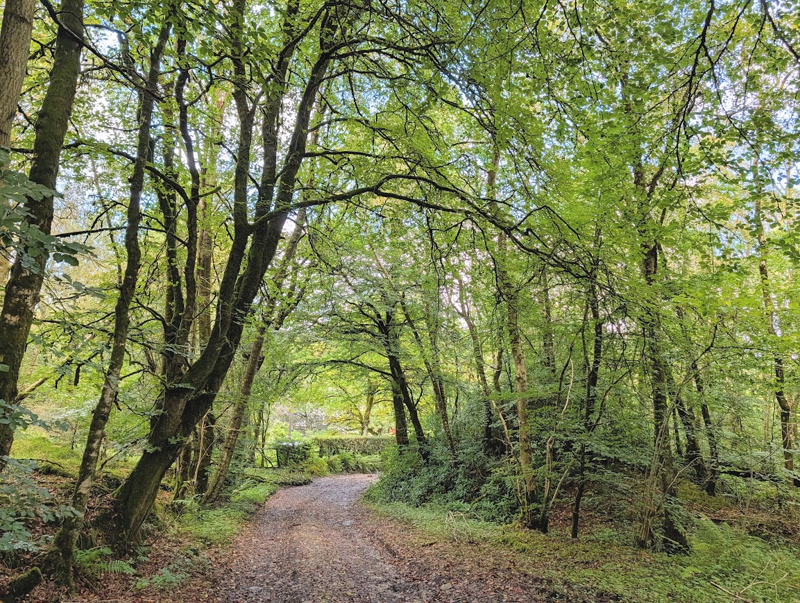
This winds downhill through pleasant woodland. Continue ahead towards a large out-building at the bottom of the hill, then turn left past Waterside cottage. Turn right at the end of the road onto a tree-lined track which takes you across the River Ayr and past a farm to reach the main road at Sorn.
Cross carefully then turn left to walk through the village. Sorn Old Bridge / Sorn Parish Church is reached after approx 1km, which is where this walk ends unless you are continuing on to Catrine for bus services back to Auchinleck. If that is the case, cross the old bridge and follow the River Ayr Way marker posts along a scenic riverside woodland trail to Catrine. Adds approx 1.7 miles.
Walk Report: 15th September 2026
I included this walk as part of my ‘Hidden Gems of East Ayrshire’ programme in the summer of 2026, commissioned and funded through The Outdoor Partnership Ayrshire. It was a route unfamiliar to me until this year, when I made contact with David Gibson of the Auchinleck Community Development Initiative (ACDI), who I had met by chance on a Teams call we were both attendees on. David had given a short presentation about the aspiration of the ACDI to transform a disused railway line in the area into a walking route. I was in the early stages of putting together a programme for my Hidden Gems walks and reached out to David to ask him if he could suggest a suitable walk starting in Auchinleck. And this was it!
David and his colleague Chris Stakim met up with me one rainy Tuesday in June and walked the whole route with me (there and back!), telling me about points of interest along the way. I found the whole route fascinating, with many of the trails not even shown on my map, and since I had never walked here before it was all very exciting! And so the Auchinleck to Sorn walk made it into the programme, with the slight extension on to Catrine so that we could use the local bus service to get back to the start point.
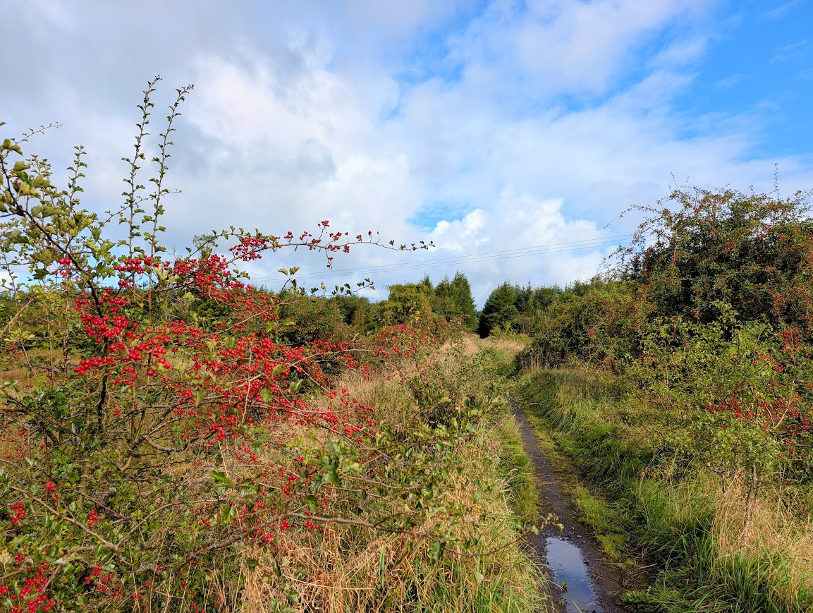
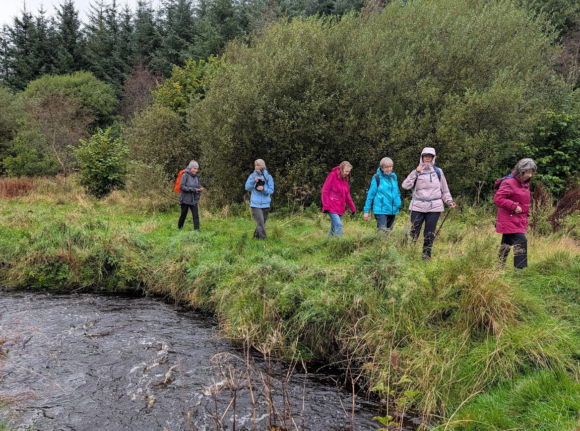
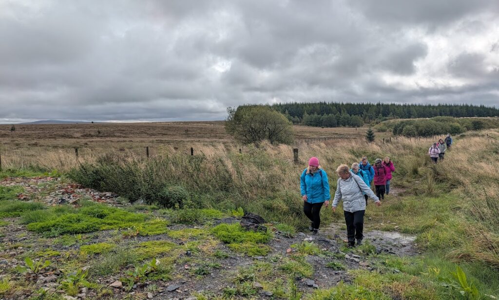
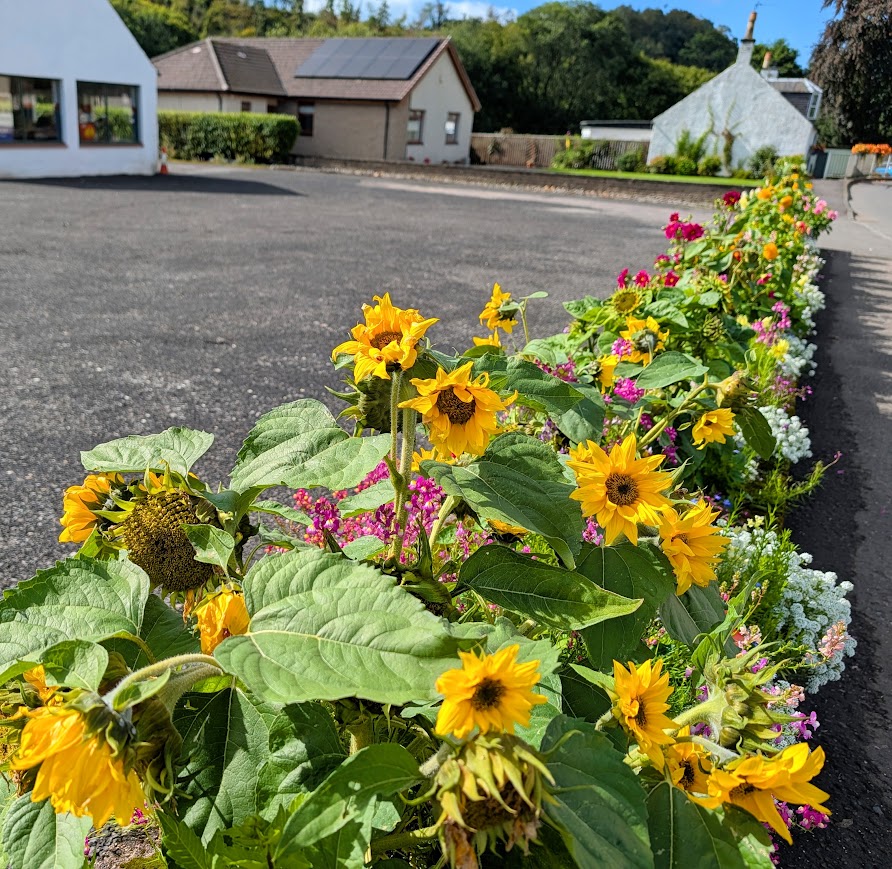
I walked the route again with my mum on 9th September, all the way to Catrine this time, and then finally with the group the following week. The photos below are from a combination of all three days meaning you can see how it transforms from summer to early autumn.
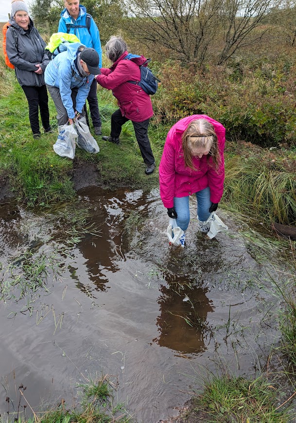
At first, the ladies were looking at me with scepticism, thinking that I was joking…. until they watched me put a bag on each foot and successfully cross to the other side. Then came the realisation, “Ok, she is serious, we are actually doing this!” The water was so wide that I couldn’t reach to pass the bags back to the next person, so I had to hook them onto the end of my Nordic walking poles and stretch across. One by one we made our way over. Success! And now they all carry a couple of plastic shopping bags in their kit just in case! “Go on one of Gillian’s Walks” they said, “It’ll be fun….” 😀
In 1680 it was also the site of a famous battle involving local Covenanters. Reverend Richard Cameron and about 30 Covenanters were ambushed by 112 elite government soldiers on horseback. A number of the Covenanters died, including Cameron and his brother. What I found really interesting about this story was that the survivors went on to form the Cameronians, becoming one of the most famous and long-standing rifle regiments in the British Army!
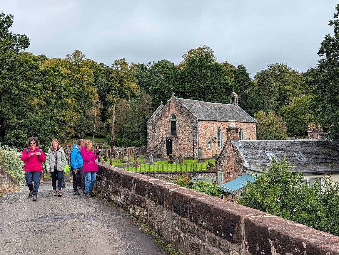
A true hidden gem of a walk, I hope you’ll agree!