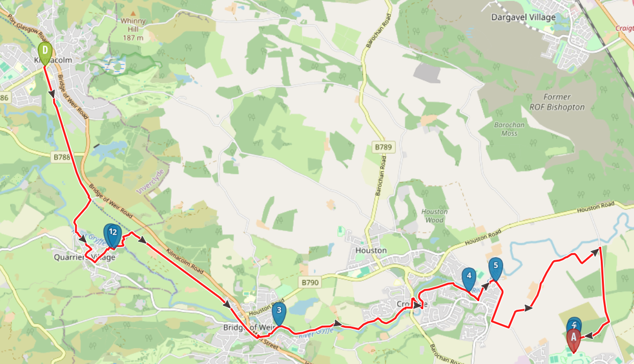
Looking for a shorter option? This route can be split at several points. One recommendation is to split in two as follows: Kilmacolm to Crosslee 6 miles / Crosslee to Linwood 4.5 miles.
 Start point: Carriages Bar & Restaurant, Kilmacolm
 End point: ON-X Sports Centre, Linwood
TERRAIN: Graded easy. Cycle track, surfaced roads and pavements, gravel and earth woodland trails. No steep ascents/descents.
 There is free parking at Kilmacolm Community Centre close to the walk start point, and at the ON-X Sports Centre, Linwood, at the walk end point. When we did this walk we parked at the ON-X and then used the local bus service to reach Kilmacolm. The bus stop is on Clippens Rd, outside Linwood Parish Church, which is approx half a mile from the ON-X.
 There are toilet facilities at Kilmacolm Community Centre close to where the walk starts (check opening times – at time of writing it was closed on Sundays) and at the ON-X Sports Centre in Linwood where the walk ends. There are also customer toilets (and refreshments available) at the River Inn, Crosslee, which is a little over halfway through the walk.
View full route description
Begin your walk at Carriages Bar & Restaurant, Kilmacolm – to the south of which you’ll find the entrance to the cycle track. Walk along the cycle track for the first 1.3 miles, coming off to the right at a set of gates opposite a National Cycle Network signpost (NS 362 677).
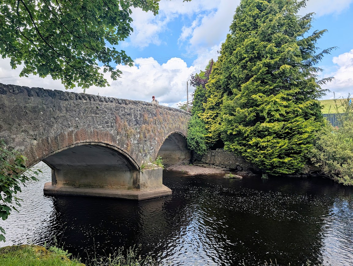
Go up the ramp and turn right onto Craigends Rd (signposted ‘Gryffe Valley Way’). After crossing the bridge over the River Gryffe, go down a set of steps immediately to the left (signposted ‘Quarriers Village’) and onto a grassy trail leading to a large open area. Head towards Mount Zion Church and follow the road around its right-side to emerge onto Love Avenue.
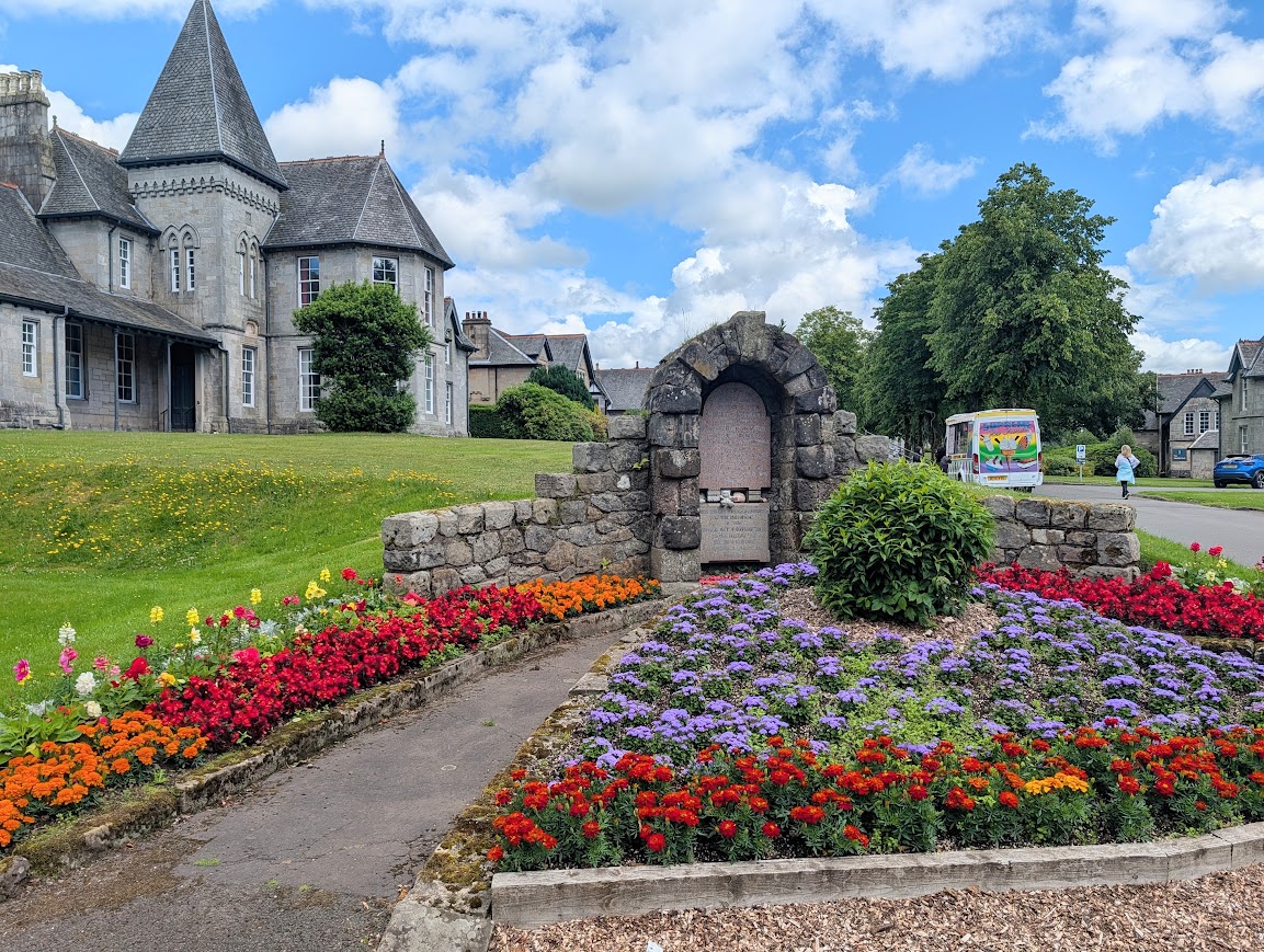
Turn right and follow Love Avenue past several large villas. The road naturally curves to the left and eventually meets with Faith Avenue at a small memorial. Turn left here and follow Faith Avenue to the very end, turning left behind a building marked ‘three sisters bake’, and turning right at a fork (signposted ‘Bridge of Weir’) to where the street meets with a footbridge over the River Gryffe. There is a picnic bench and some interpretation boards here. Cross the bridge and follow the lane, lined with information boards, as it zig zags back uphill towards the cycle track.
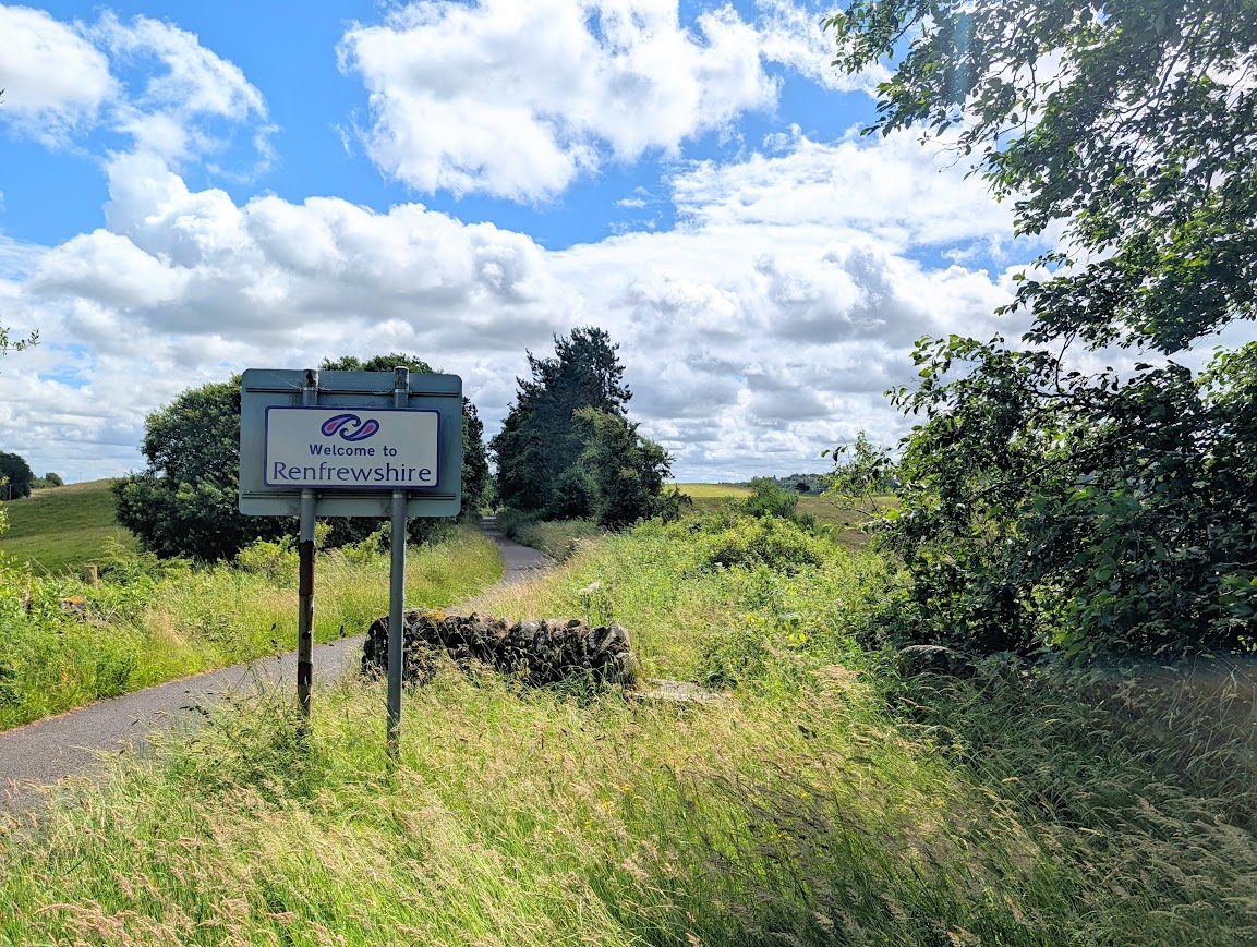
Turn right on the cycle track, and pass into Renfrewshire! You will be on the cycle track for around 1.5 miles. Turn left off the cycle track at Amaretto restaurant (signposted ‘Gryffe Valley Way’ and ‘Bridge of Weir Village Centre’ – NS 387 655).
Walk through the car park and down onto Main Street / A751. Carefully cross the road, turn right then first left onto Mill Brae. At the end of the road continue onto a gravel footpath. Cross the river then turn right onto the Mill Lade Path. Continue along the Mill Lade Path, with the river to your right, for approx 1 mile, emerging at a large grassy area close to Brierie Hill Road. Turn right to follow grassy tracks across the open space, keeping left at the fork and heading uphill at the other side and onto Whirlie Rd.
Turn right to reach Houstoun Rd. Cross carefully and turn left along Houstoun Rd /B789. Take the first street on your right Crosslee Park. About halfway along look out for a lane on the left which takes you between houses 8 and 10 and across the river.
Turn left at the fork to walk through a wooded area in the Craigends Estate. After approx half a mile you’ll come to a bridge on your left – don’t cross it, instead continue to the right through the woods. Look out for the ancient Craigends Yew tree just off the path (see waypoint 4 on the digital map)!
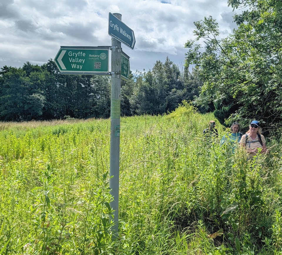
The path emerges onto Gryfebank Avenue, where you turn left along a residential street. Where the street starts to bend to the right, look out for a lane straight ahead – this will lead you onto a (sometimes overgrown) riverside trail for a short distance, de-touring around the back of the houses. Where it meets with Craigends Rd can become badly flooded, in which case turn right along the fence-edge and down onto the road wherever possible.
Turn right on Craigends Rd – a quiet country lane. A little more than half a mile along, take the first road on your left (small green Gryffe Valley Way marker discs on the trees here, can be easily missed) – Clippens Rd. Take the first left again onto Auchans Rd.
You’ll eventually come to a crossroads – turn right towards a metal gate and along Moss Rd for half a mile. Look out for two metal gates on the right, beside a bin, giving you access to the woodland trails of Linwood Moss. Continue ahead and after approx 400m at a fork keep left – the sports pitch of the ON-X should come into view ahead – walk past it with the sports pitch on your right-hand-side to reach the ON-X car park, where this walk ends.
Walk Report: 28th June 2026
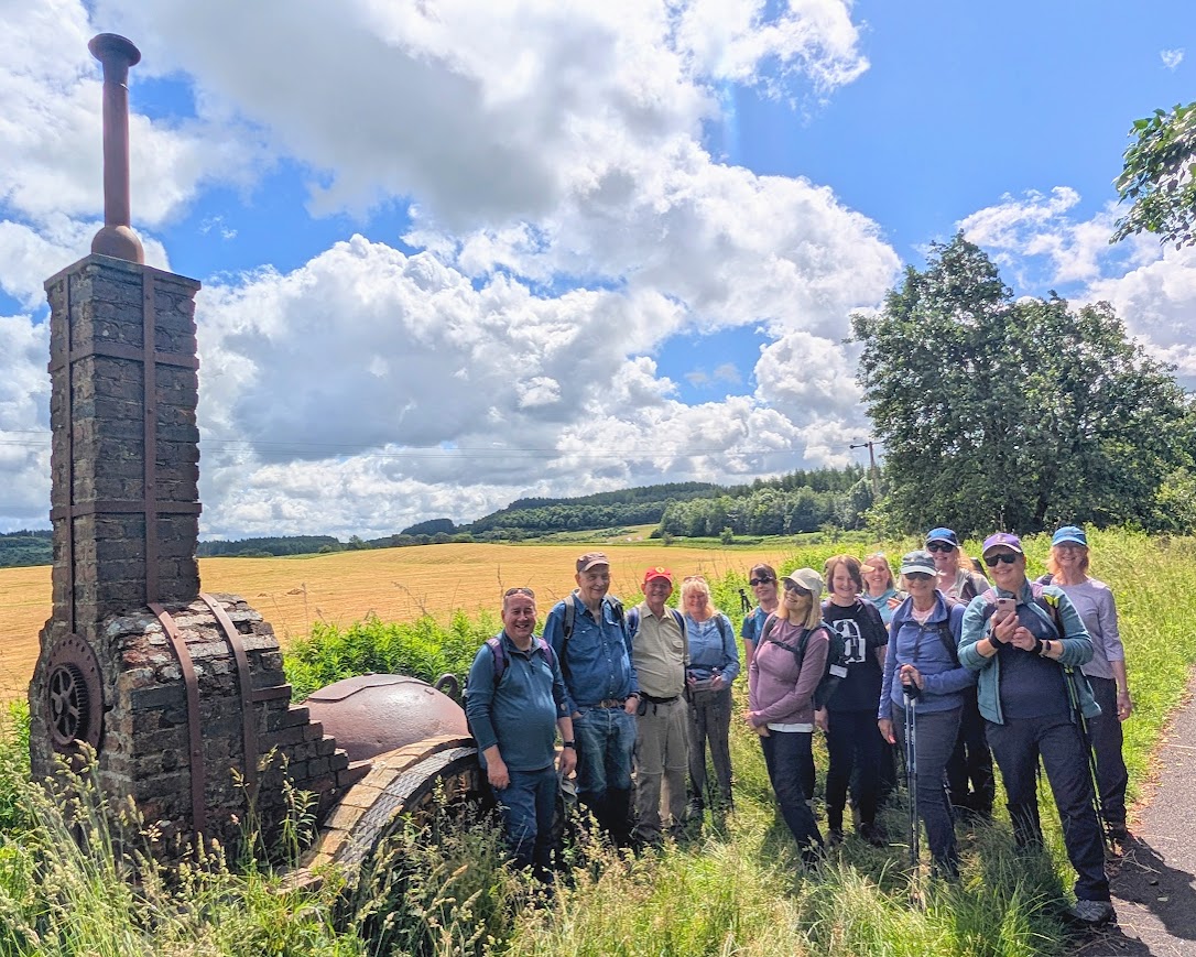
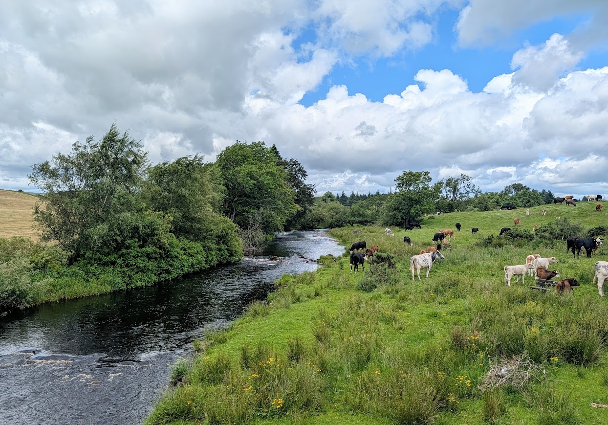
Part two of the Gryffe Valley Way for us! We split into two groups – one group doing the whole 10.5 miles and the other doing the first part between Kilmacolm and Crosslee, approx 6 miles. The group doing the whole walk parked at the ON-X in Linwood and walked approx 10-15 mins to the main road for the bus to Kilmacolm. En route, the group doing the shorter walk jumped on the same bus outside the River Inn, Crosslee, having parked there. We all disembarked in Kilmacolm and enjoyed the first 6 miles of the walk together.
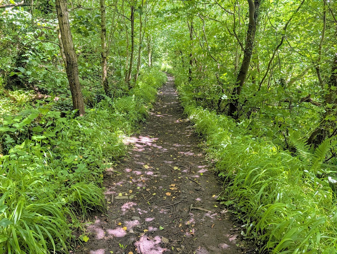
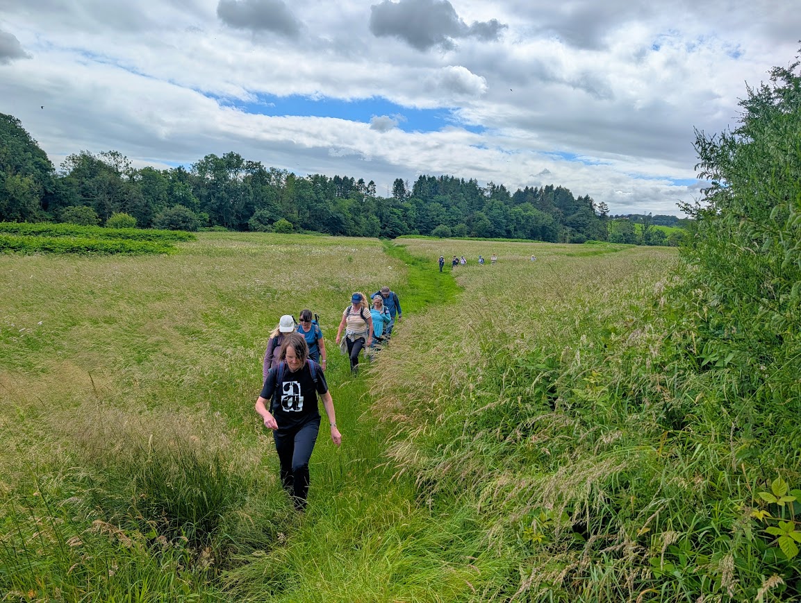
Between the open grassland and the next photo of the Yew tree, the group doing the shorter walk reached the end of their adventure, and before saying cheerio we all enjoyed a refreshment at the River Inn, Crosslee. We were out in the beer garden, and unfortunately my lasting memory is going to be the awful smell of sewage which was being blown over from somewhere south of us. Yuk! No wonder we were the only ones sitting outside….
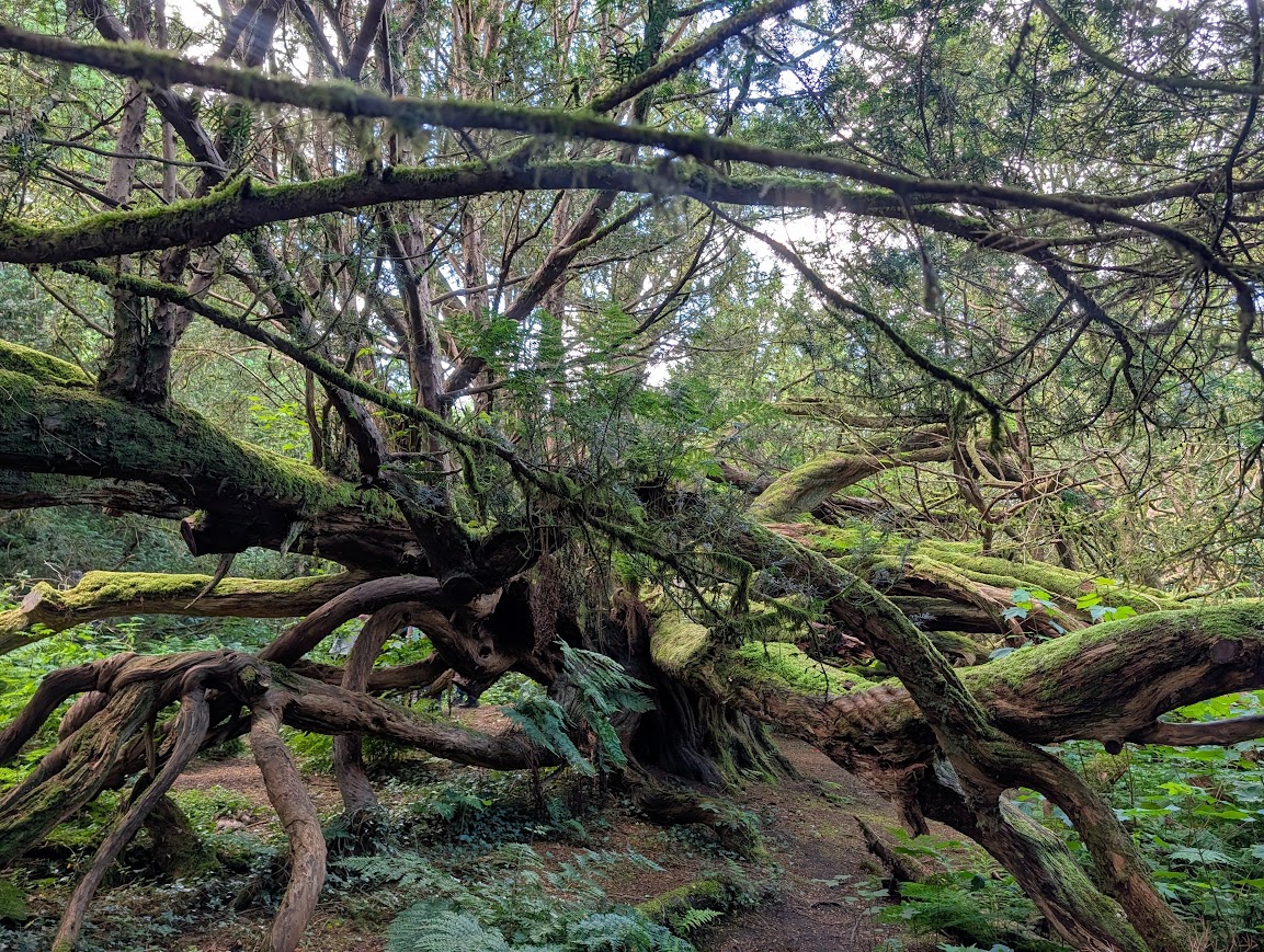
Just beyond the Yew Tree, the route emerges out of Craigends Estate onto Craigends Rd. Well…. on our visit the access down onto the road was completely flooded, even though there hadn’t been a great deal of rain lately. There would have been no way through it, but we noticed a lady out walking her dog who had taken a right turn along the very edge of a wooden fence, and had managed to keep going, so we followed her and got down onto the road further along. Access still wasn’t easy, with some of the group needing a hand down over the mud. It looked as though there had once been steps, but not any more. Someone had placed a car wheel trim in the mud to act as a ‘landing spot’ or stepping stone between the fence path and the dry road. Something to be aware of!
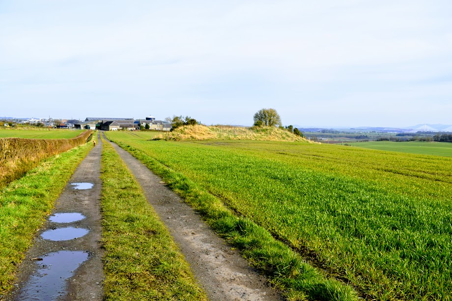
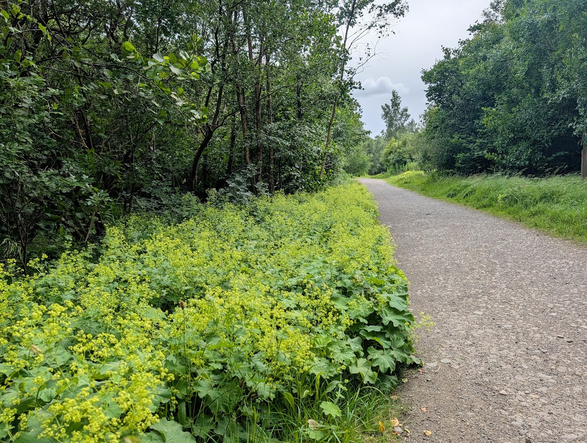
Between Craigends and Linwood the route followed a series of quiet roads in open countryside. It is quite amazing, that until the very last few minutes of the walk, we had absolutely no sign or sense of being close to a large town! The map told me that we’d be finishing within the next mile – but all around us was farmland, trees, and quiet spaces. Linwood is very well hidden from this angle!
Other posts in the Gryffe Valley Way series
Part 1 – Loch Thom to Kilmacolm
Complete guide to the Gryffe Valley Way
The Gryffe Valley Way was created by Gryffe Valley Rotary and opened in 2024. You can download the official Gryffe Valley Way brochure here.