 Start point: Cafe and Visitor Centre Courtyard, Eglinton Country Park, KA12 8TA
 End point: Cafe and Visitor Centre Courtyard, Eglinton Country Park, KA12 8TA
TERRAIN: Graded easy. A mixture of natural earth and rough stony paths plus compacted earth and grass. Much of this path network can be muddy and/or waterlogged in places after heavy rainfall. The majority of the trail is level to gently undulating, with one moderate slope before and after the Cairnmount Hill standing stones. Two gates (usually always open). No steps or stiles.
 Dog-friendly route (note that there are usually sheep, cows or horses in the fields beside the route and Eglinton Country Park in general is popular for horse riding – please be a responsible dog owner)
 Buggy-friendly route (assuming your’s can cope with the terrain described)
 The easiest way to travel to Eglinton Country Park is by car. There are two free car parks on site. If using public transport the closest train station is in Kilwinning, 2 miles away. From there it is possible to cycle (approx 10 mins) or walk (approx 40 mins) or take a bus to Irvine Road/A737. From the bus stop the start point is approx half a mile /15 minutes away on foot. Eglinton Country Park is accessible by bike with good cycle parking onsite. It is located close to the National Cycle Network routes 7 and 73.
 There are toilet facilities at the Tournament Cafe and Visitor Centre during opening times.
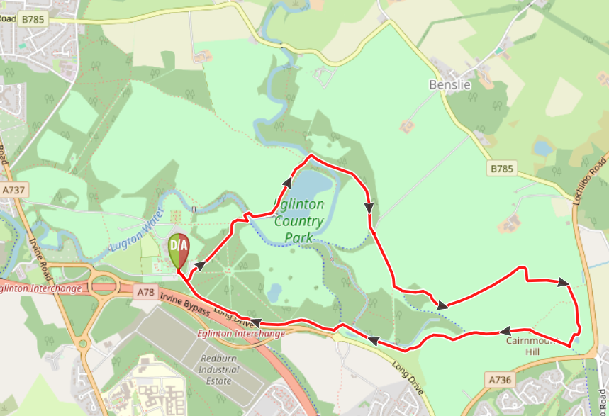
View full route description
From the information/map board located just outside the cafe courtyard, walk through the wooden pergola towards the park’s main access road facing car park 1. Cross the road and head towards a footpath beside the coach parking. Take the first left through an open gate onto a compacted stony path. Along the way look out for the ruins of Eglinton Castle to the left through the trees!
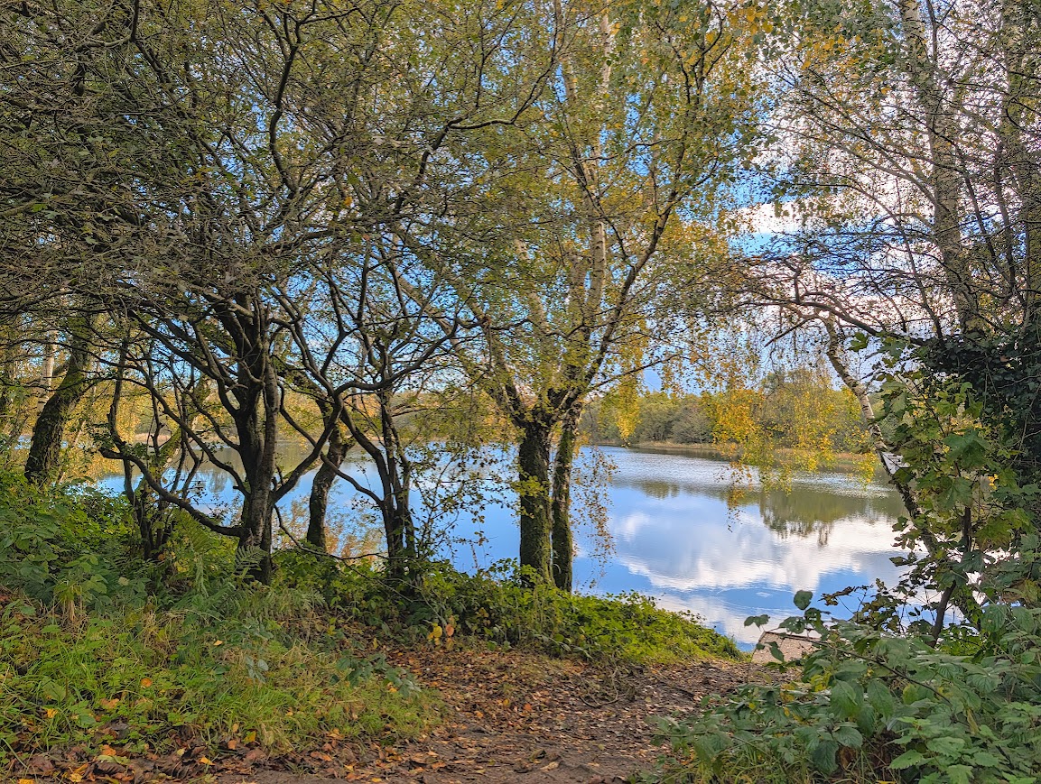
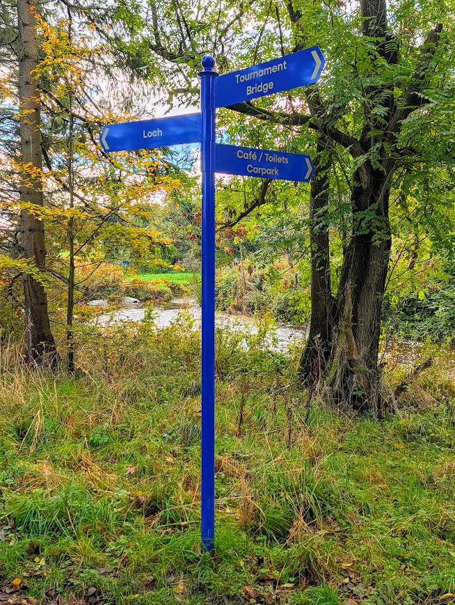
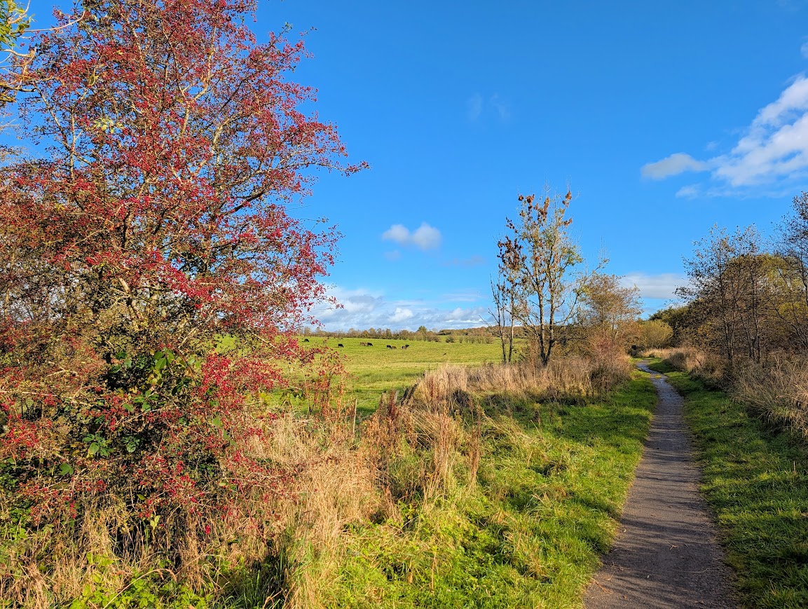
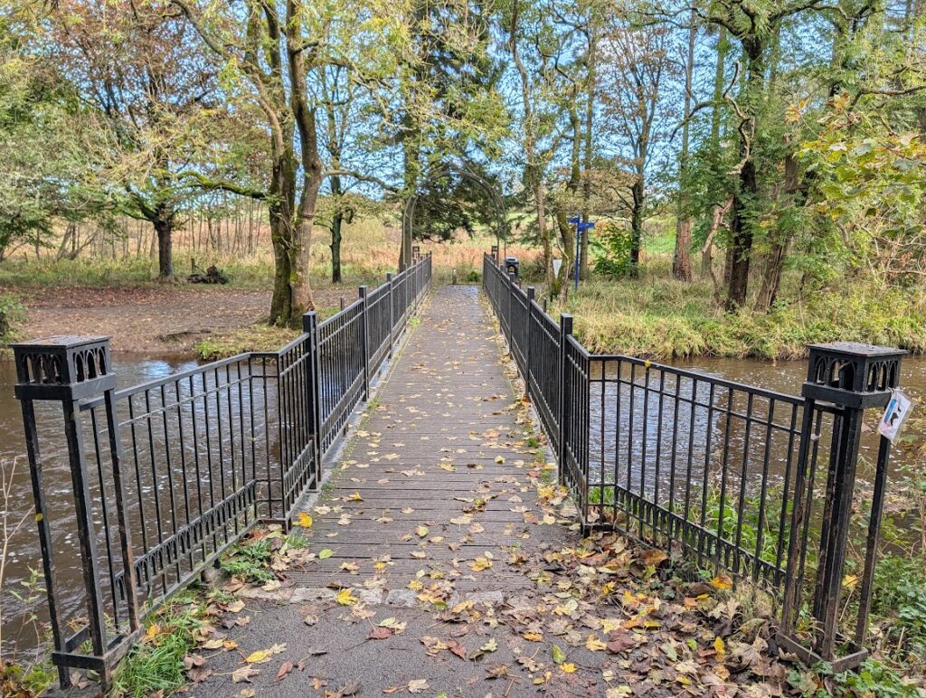
When you reach the riverside, turn left and then cross ‘Castle Bridge’ (Laundry Bridge) over the Lugton Water. Turn right at the other side of the bridge then veer left, signposted ‘Loch’. The path climbs gently uphill beside Eglinton Loch, with open views across the surrounding farmland. The path surface becomes more uneven here.
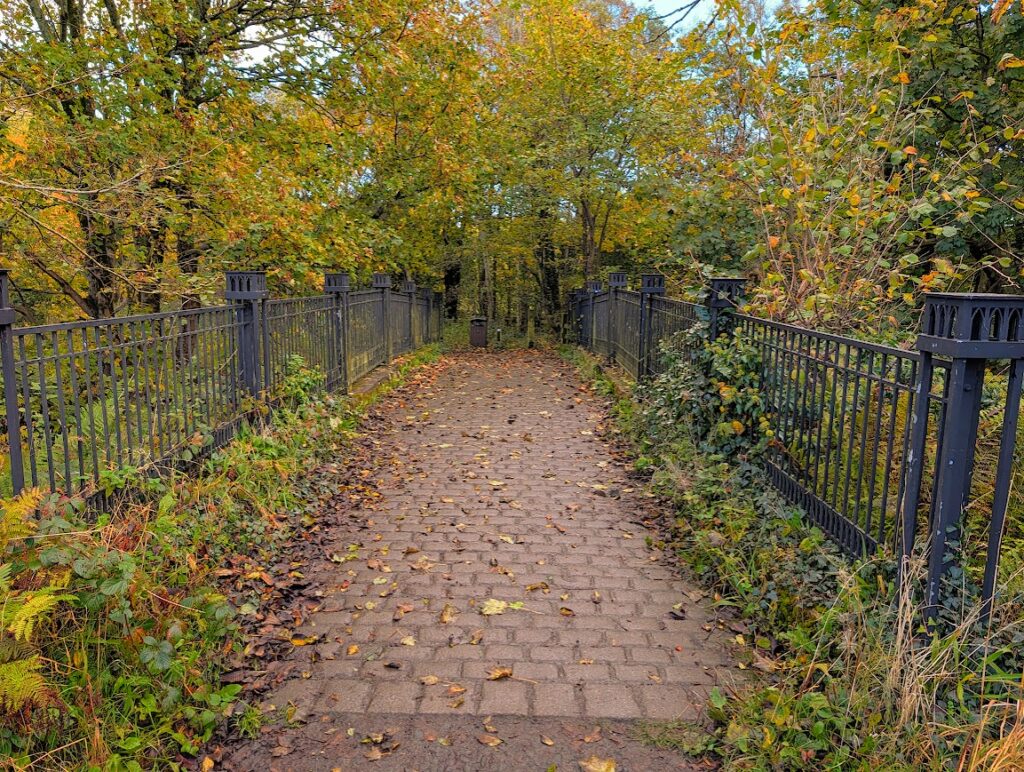
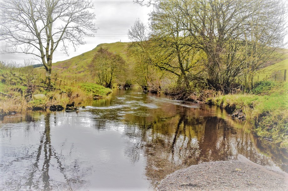
You will reach a cobblestone bridge over the Lugton Water. Cross the bridge then turn right. Enjoy walking along the banks of the Lugton Water.
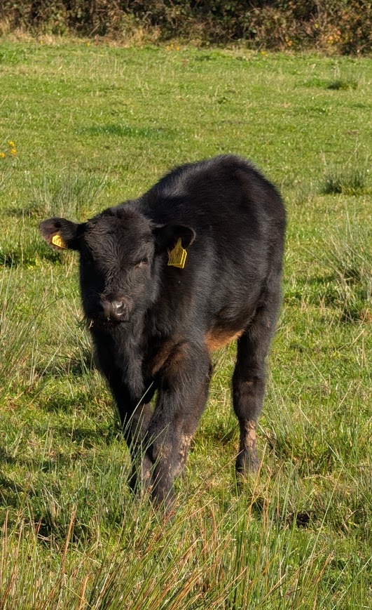
When you arrive at a crossroads, continue straight ahead, signposted ‘Standing Stones’. There are often cows grazing in the fields around this area. Note that the path surface here is uneven and has a tendency to become waterlogged after heavy rain.
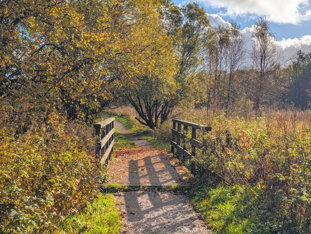
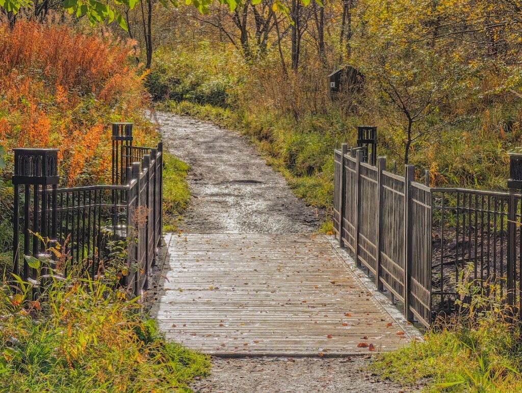
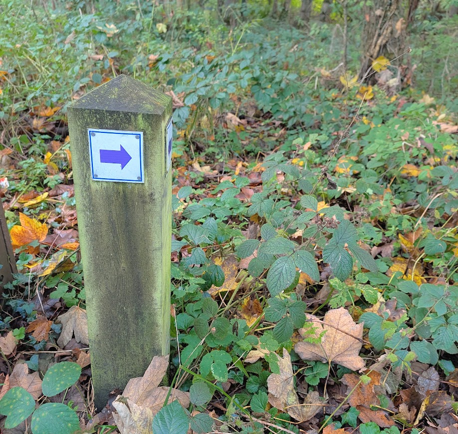
Where the path forks at a bench, keep left. Soon after there is another fork – keep left again, following the blue arrow and that of the New Town Trail. You will soon arrive at a wooden footbridge. After crossing, the path heads out into open countryside and begins to narrow before becoming more like vehicle tracks with grass growing through the middle.
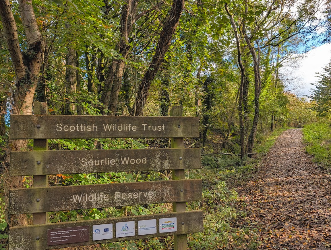
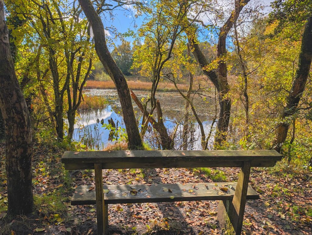
You will cross another wooden footbridge. A Scottish Wildlife Trust sign soon indicates that you are now entering Sourlie Wood Nature Reserve! The path slopes uphill and along to a small pond with a well-positioned bench allowing you to stop a while and perhaps spot some wildlife.
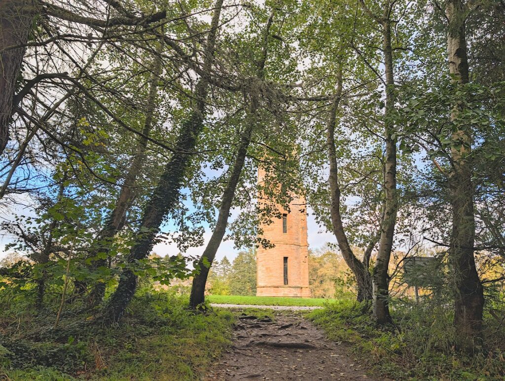
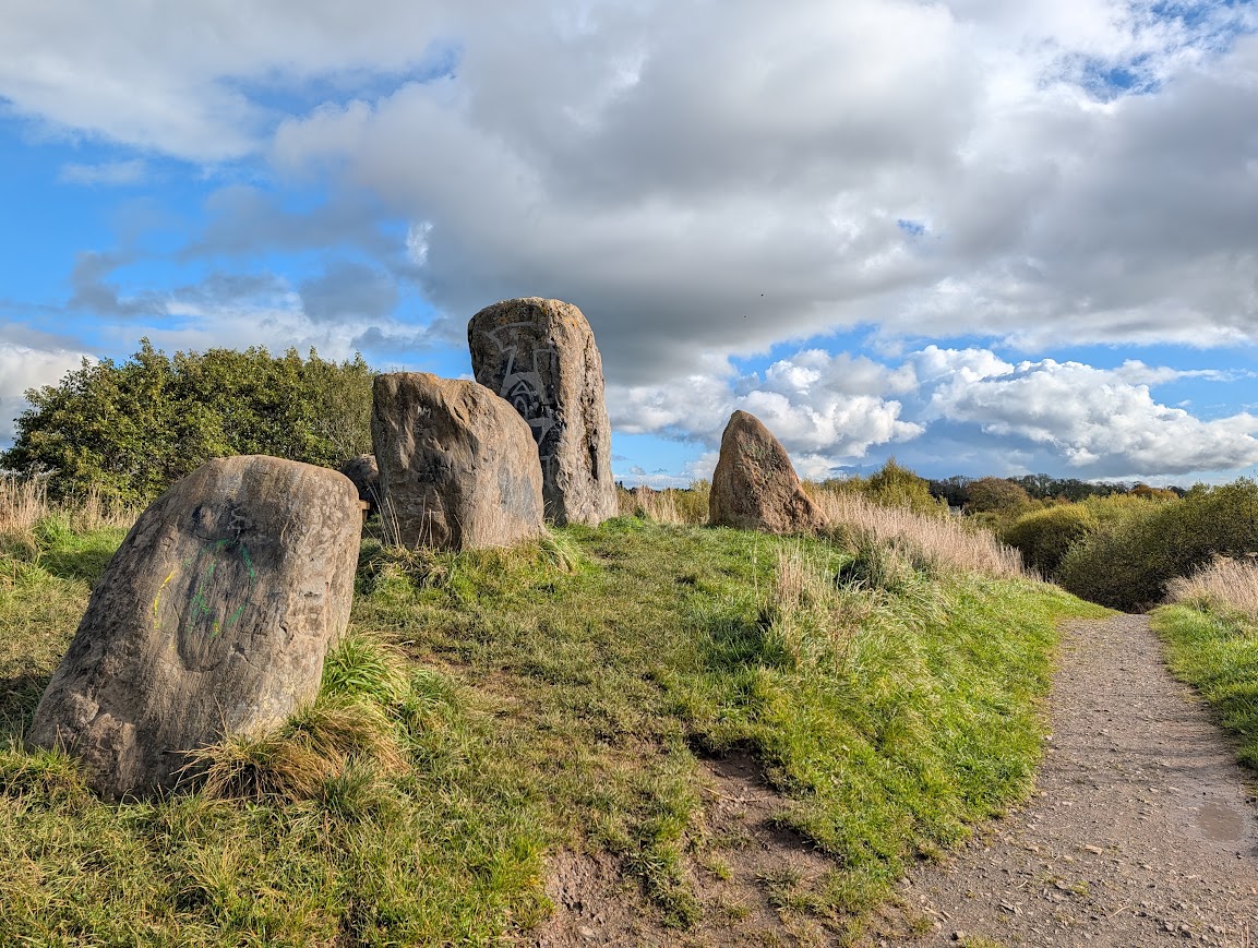
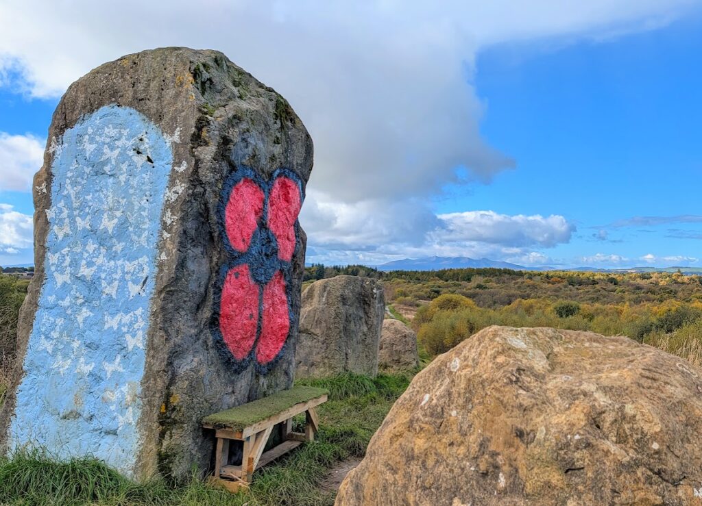
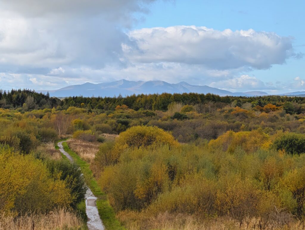
Continuing on, you will arrive at a triangular path junction with lots of signs at it. Turn right to pass between the Eglinton Park welcome sign and the map board (have a look as it will show you that you are now at the eastern-most point in the country park!). A long uphill slope on an uneven stony path leads you to the top of Carinmount Hill where you will find the infamous standing stones as well as an excellent viewpoint west towards the Isle of Arran. Note that the standing stones themselves are positioned just off the path and the ground around them can be very muddy.
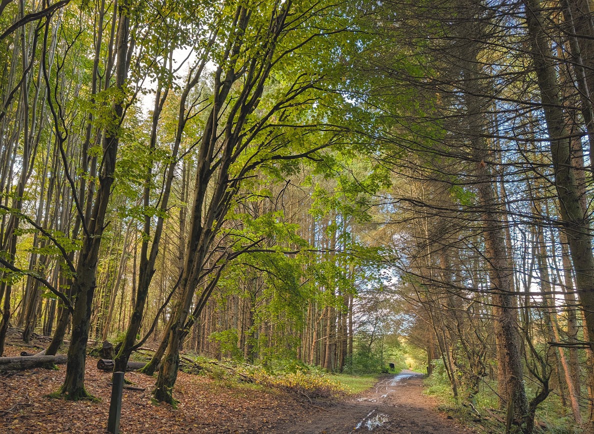
There is now a long downhill slope – beware loose stones – before the path levels out. At a fork keep left. You will soon pass through a small rather lovely patch of forestry, where the path surface can be particularly muddy. Emerging out of that, keep left at a fork, signposted ‘Castle/Playpark’. You will begin to hear the traffic from the main road on your left – an indication that you are returning to civilisation!
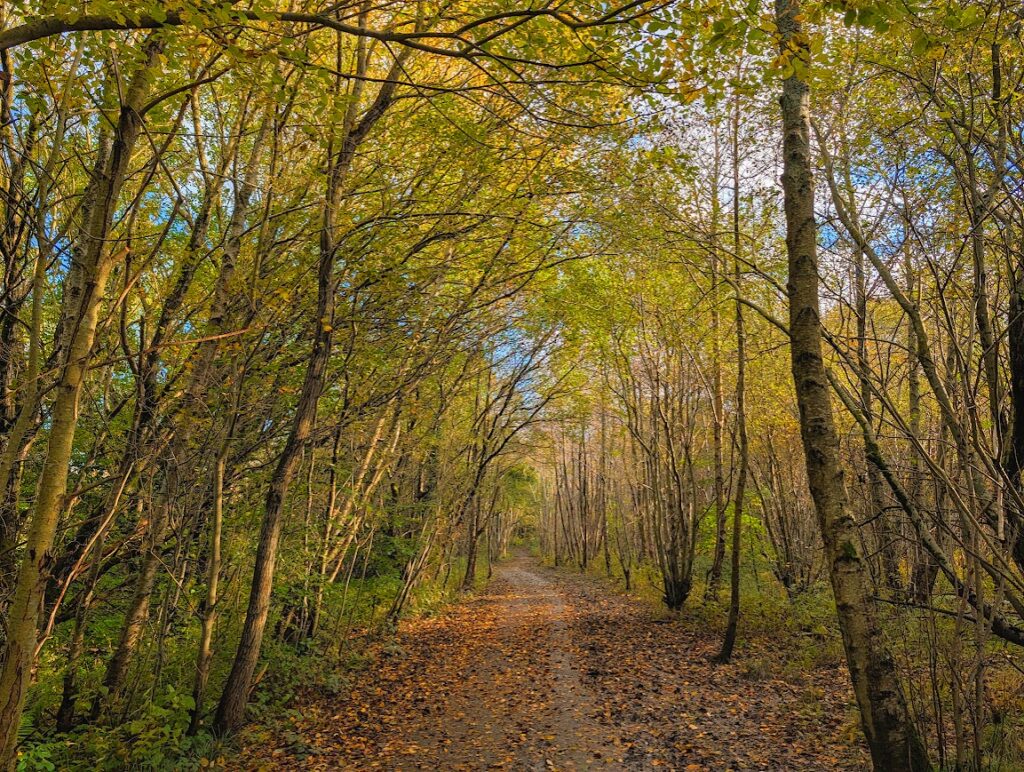
You will reach a crossroads with an old rectangular stone building with a sloped roof visible to the left (a dovecot) – head towards that then follow the path to round to the right to continue parallel to the main road. You’ll pass through an atmospheric channel of Beech and Sycamore trees, past another route map, and then through an open metal gate, beyond which you can enjoy a hard path surface for the final 300m to the car parks, where this walk ends.
Walk Report: 22nd October 2026
I loved the variety on this walk and also the feeling that I was getting to explore the quieter parts of the country park reserved only for those willing to take on a bit of extra distance. You get all the way over to the eastern edge of the park and also up to its highest point, and at times can feel a million miles away from civilisation.
Castle ruins, loch, wildlife reserve, a secluded pond, woodland trails and forestry, a hilltop viewpoint, standing stones, grazing cattle, mushrooms, riverside trails and a dovecot. Just some of the highlights for me on this walk!
Walks near water are always a hit and on this one I counted 4 river/burn crossings all with very picturesque bridge settings. Add to that catching glimpses of Eglinton Loch and the unexpected little natural pond I discovered in Sourlie Wood Wildlife Reserve, and this route definitely ticks the water box!
Although it was a lovely sunny day, there had been a lot of rainfall in the hours prior to me surveying this route and as a result a lot of the paths had big muddy puddles on them. Nothing that couldn’t be avoided (I didn’t get wet feet), but it crossed my mind that it would make things more challenging if attempting this walk with a buggy.