![]() Buggy-friendly walk but can be very muddy at times
Buggy-friendly walk but can be very muddy at times
![]() Dog-friendly route (Note short section next to A77 and proximity to golf course at times)
Dog-friendly route (Note short section next to A77 and proximity to golf course at times)
![]() Parking available for a few cars on Holmston Road, Ayr, opposite the cemetery. There are also bus stops on Holmston Road close to the start point. Ayr train station is half a mile away.
Parking available for a few cars on Holmston Road, Ayr, opposite the cemetery. There are also bus stops on Holmston Road close to the start point. Ayr train station is half a mile away.
View full route description
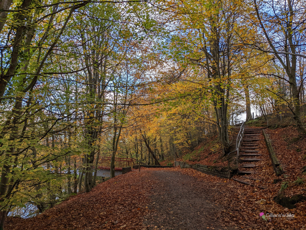
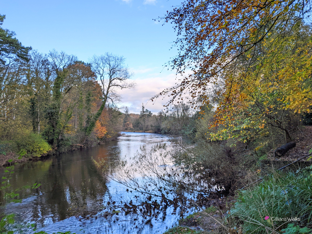
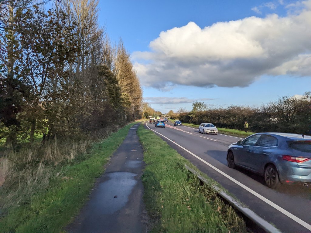
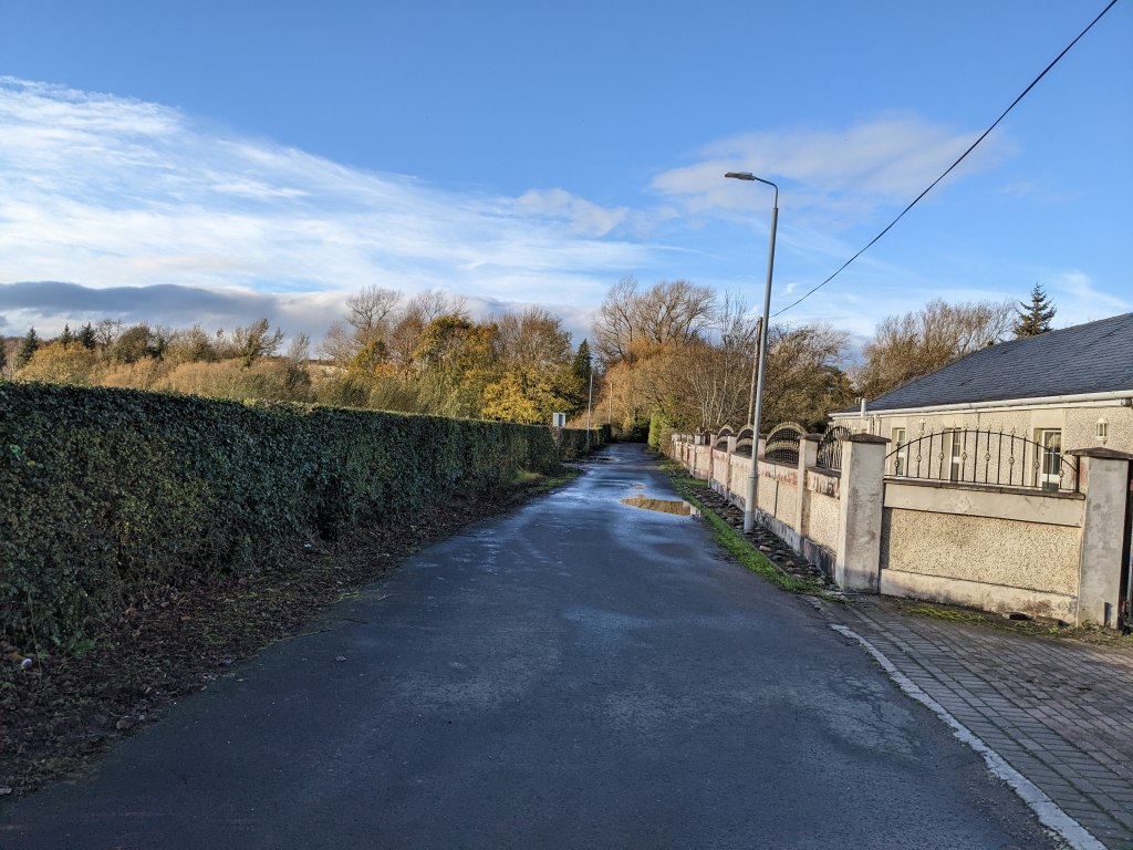
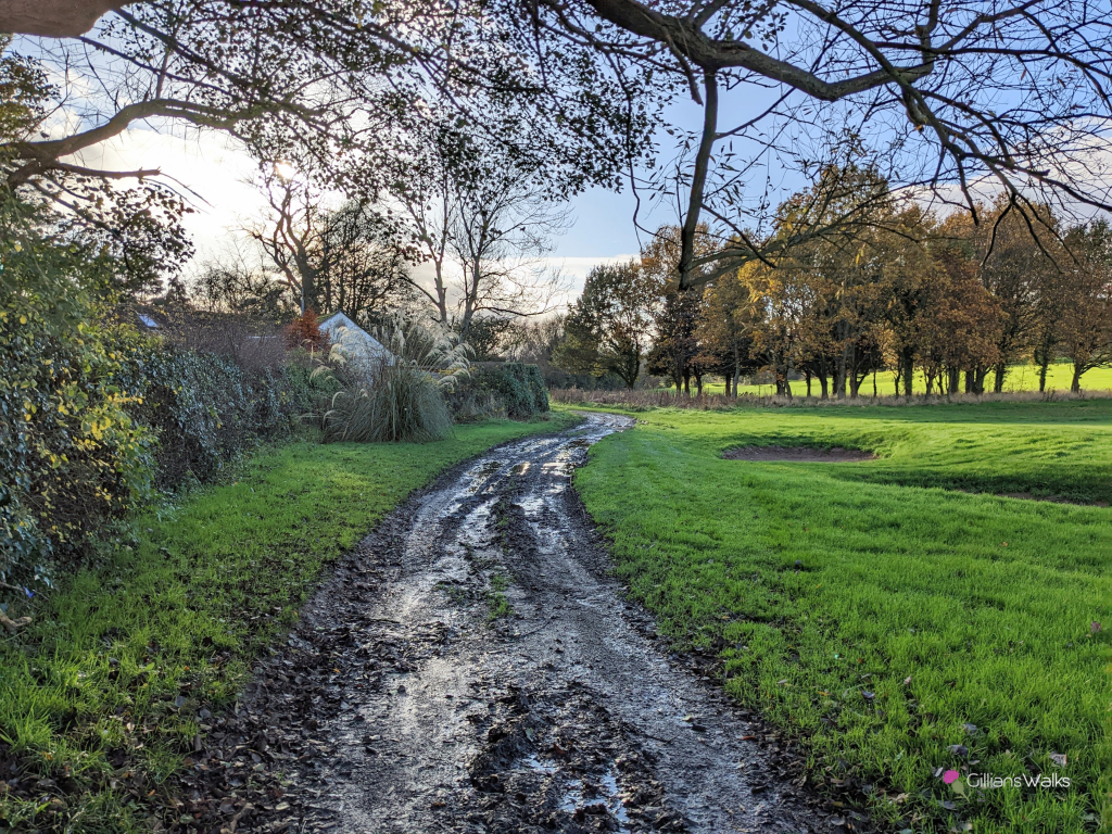
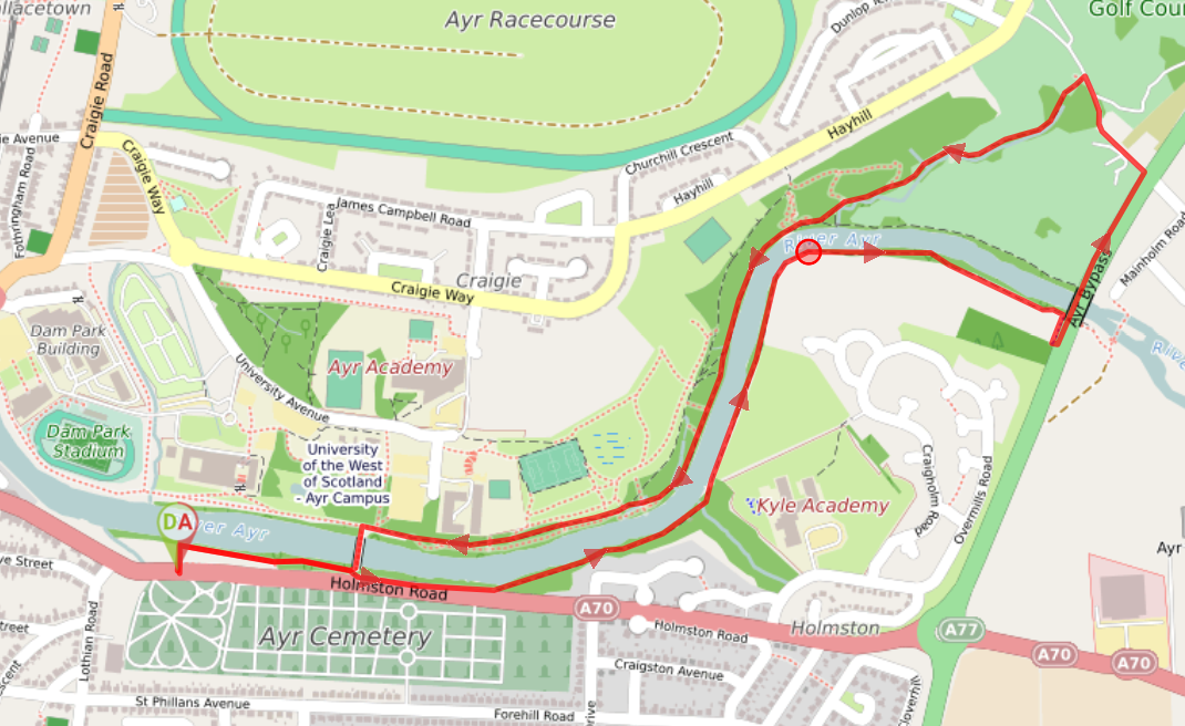
Enter the walled grassy area off Holmston Road and turn right (E) to follow the path along the river, going up the steps when you reach a fork near the bridge. [There is a handrail at the steps but to avoid them completely, follow the path along the wall at Holmston Road, instead of the path along the river]. Continue through the woodland with the river on your left-hand side all the way to a road bridge. Don’t go under the bridge – instead go up the steps or ramp on your right to emerge onto the pavement running along the busy A77. Turn left (NE) here and walk along the pavement for approx 300m. When you reach the large “Mainholm Smallholdings” sign, turn left (NW) onto a single track road. Follow this road along for approx 200m and shortly after it bends to the right look out for a gap in the hedge on your left. Turn left onto the muddy track beside the golf course. The track follows a small burn across the golf course and into some pleasant woodland, meeting up with the River Ayr on the opposite bank from before. Walk along the river to the footbridge opposite the college. Cross the bridge and retrace your steps to Holmston Road.
WALK REPORT: 1st February 2016 & 12th November 2022
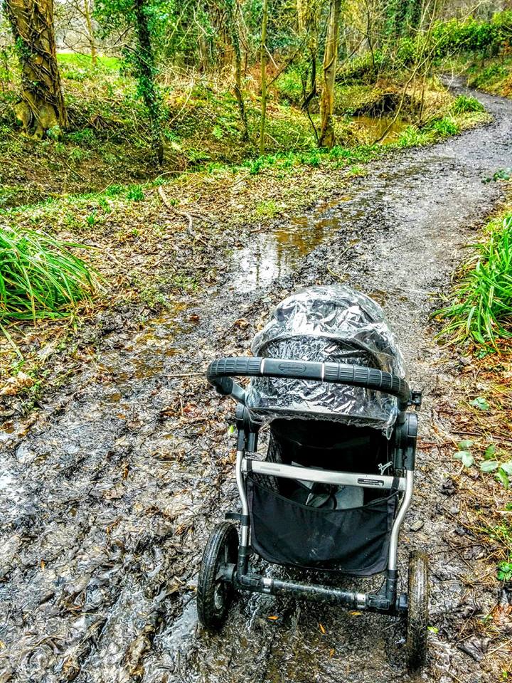
As you can see from the photo below, the paths on this walk can get extremely muddy if there has been heavy rain so be prepared with suitable footwear. I actually had the buggy with me first time around and to be honest I wasn’t expecting so much mud. I did manage to push the buggy along but I will admit it was quite an effort at times. Definitely a good workout though!
I actually completed a similar route only a few days prior but I wanted to return to do it the “correct” way and also go a little further along. Things didn’t quite go to plan as at the point where I wanted to continue on further than last time I found I was unable to cross the main road (A77) due to traffic flow. I was a little disappointed and headed back via the golf course pretty much meaning I did the same walk again in reverse… not what I had intended. I felt a little silly when I explained this to my hubby and he suggested that if I had stayed on the path and walked underneath the A77 before going up onto the road bridge, it would have brought me up to the other side…. Doh!
Most people would not have ventured out today with storm Henry in full swing! Although it was extremely windy and I was pretty frightened at times with the trees swaying & creaking (very eerie!), it actually stayed dry for our entire walk. And another plus point was that we had the place pretty much to ourselves 😉
Re-tracing my steps from a previous walk gave me the opportunity to try out the ‘Follow’ function on my mobile mapping app and I loved having visibility of where I was walking vs last time. I now knew how this function worked for others wishing to follow my routes and I was really excited about sharing this and all my previous outings with everyone. To follow in my footsteps and be able to see where you are at all times on a map, click the purple “download” button above! It will prompt you to download the Visorando app if you don’t already have it and then you’ll be all set to try the follow function on any of my 200+ walking routes.
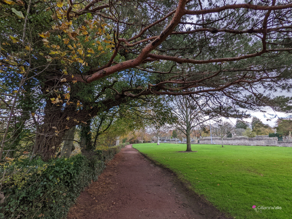
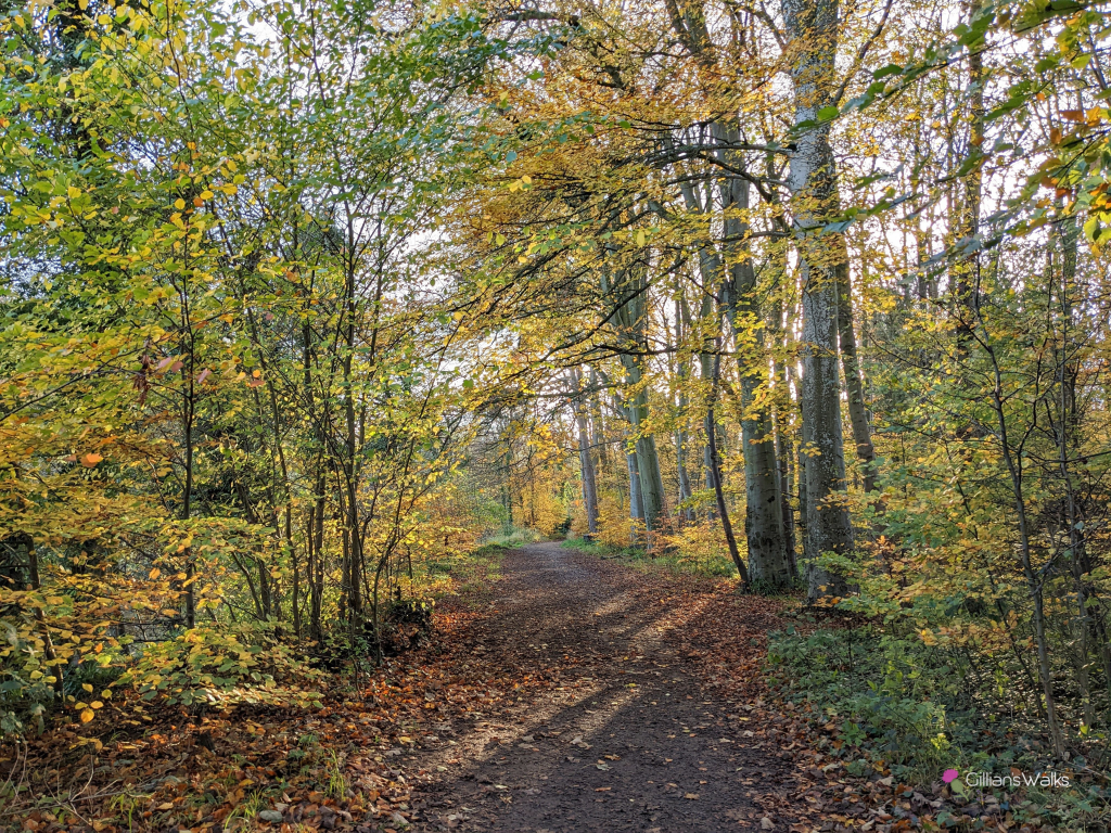
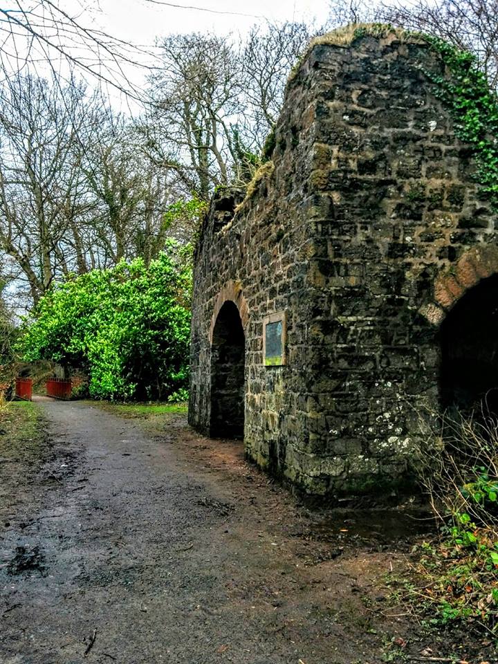
Returning to do this route again in November 2022, 6 years later (!!) my main goal was to take some photos to add to this post. It was a beautiful autumnal day – still very muddy! – and the River Ayr was in spate thanks to a lot of recent rainfall. The colour of the leaves was spectacular. And here are the photos I took of the route 🙂
