![]() Craigmead Car Park (KY15 7AE). No public transport to start point.
Craigmead Car Park (KY15 7AE). No public transport to start point.
View full route description
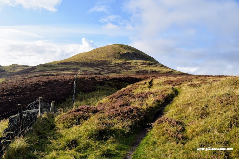
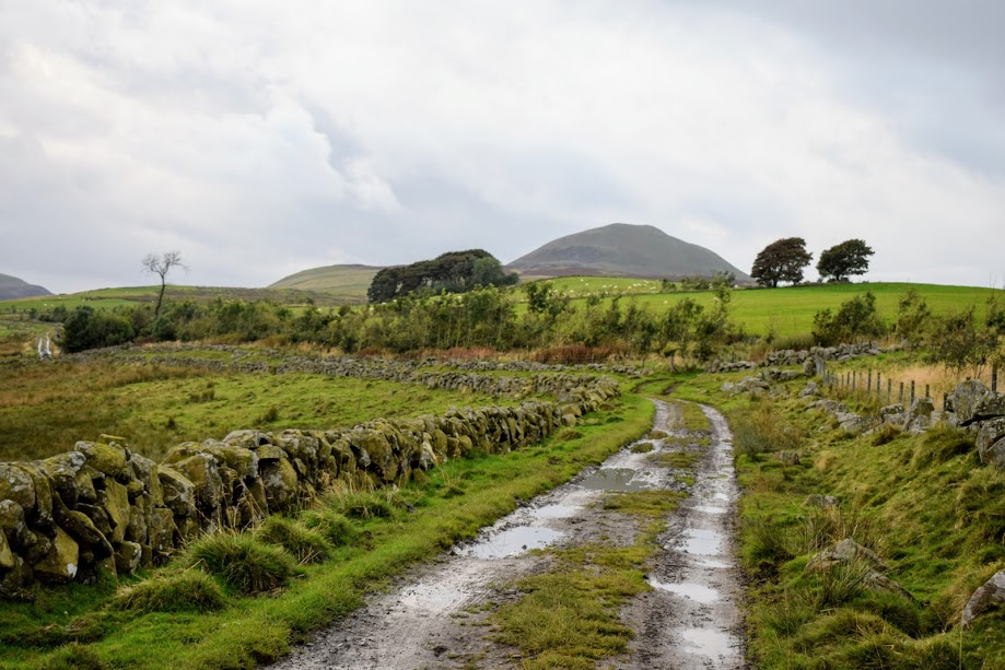
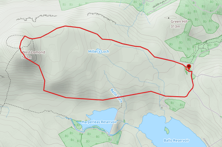
From the back of the car park follow signage for West Lomond. At a fork keep left. This path soon merges with a wider track which heads almost in a straight line towards West Lomond. On reaching the base of the hill, a steep path zigzags it’s way to the summit where there is a trig point and remains of an iron age fort. Descend South on a very steep and somewhat eroded footpath. As it levels out, continue on this heather-lined path to a stile. After crossing the stile follow a faint grassy path downhill to the right towards a footbridge & gate. Tempting as it is to go through the gate, the route actually turns left here to head East along a vague grassy footpath skirting the bottom of the hillside. Follow this across the fields to join up with a gravel farm track. There are several gates and stiles on this section of the walk, and it can be very muddy at times. Eventually you will reach a minor road which you should follow downhill and back to Craigmead car park.
WALK REPORT: 17th Sept 2017
We first came across Craigmead Car Park the day we walked East Lomond and Maspie Den. There is an information board onsite which houses leaflets about walks in the area, West Lomond being one of them. So that was it decided, we’d be back soon to climb it and use this car park as our base.
We typically don’t seem to have much luck when it comes to weather on the Lomond Hills, and today was no exception. On the drive in we could see the tops shrouded in cloud. It seemed as though someone was playing a prank on us though, because everywhere else around about was basking in glorious sunshine….. Ever the optimist, I felt pretty sure that it would blow over for us reaching the summit! :-/
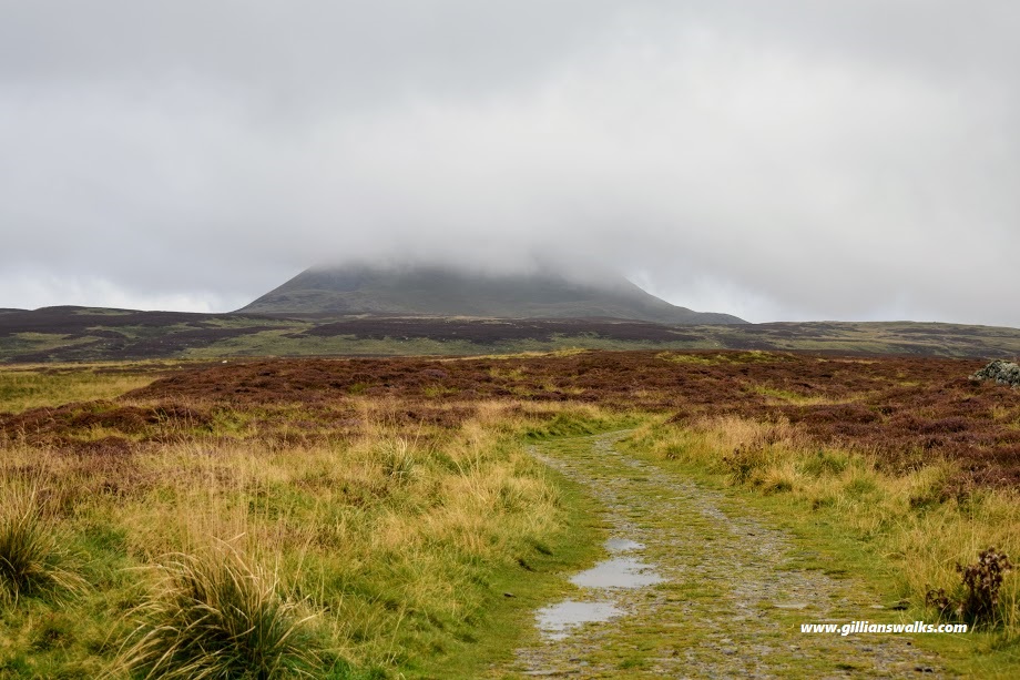
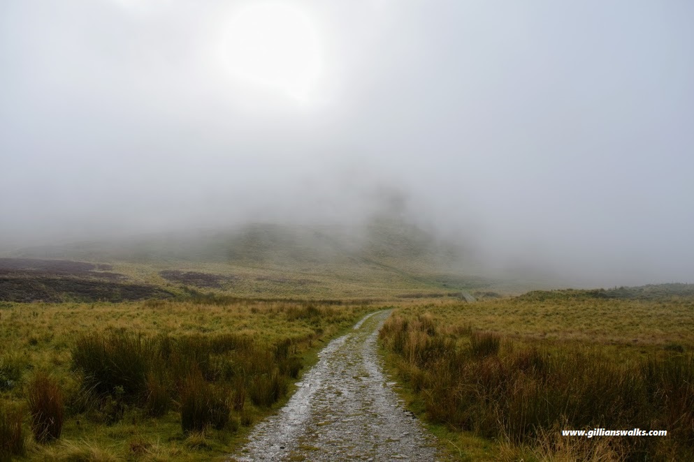
The route between the car park and the base of the hill was nice to start with, but I did become bored with it after a while. It was just so looooong and straight and the sort of track where the destination is in view the entire time and you feel like you are never getting there. The cloud over the summit got lower and lower the closer we got and my hopes for panoramic views started to fade.
A really weird thing happened next: as we approached the bottom of the hill we walked into fog, or low hill cloud. I fully expected to get soaked and preemptively put my camera safely away in my backpack. It wasn’t rain I was anticipating, but rather a fine wet mist. Bizarrely though, we stayed completely dry!! It was so strange! I had done my fair share of hillwalking and never had I ever been dry when walking through cloud, fog or mist!
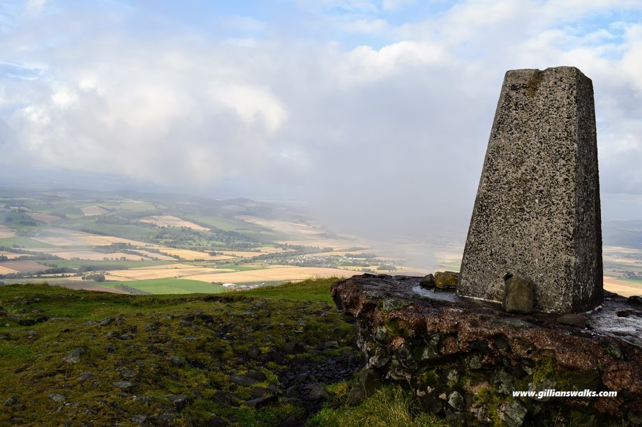
We decided to take the direct, steep route to the top. The wind wasn’t long in picking up so it got pretty cold but on the plus side it allowed the cloud to clear a little and give us enough of a view to permit a few summit photos. “Lesley, you are standing on the highest point in Fife!” I exclaimed excitedly to my friend, a resident of Fife for all of her 36 years. We didn’t hang around there for long: after the wind blew Lesley’s Capri Sun straw clean out of her hand we figured it was time to move swiftly on!
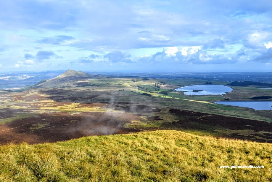
The descent was every bit as steep as the ascent. However the parting clouds distracted us and we stopped to admire the absolutely stunning views of the countryside below! East Lomond looked so far away now, and the land in between so flat and wide (the part I hadn’t enjoyed walking across earlier!)
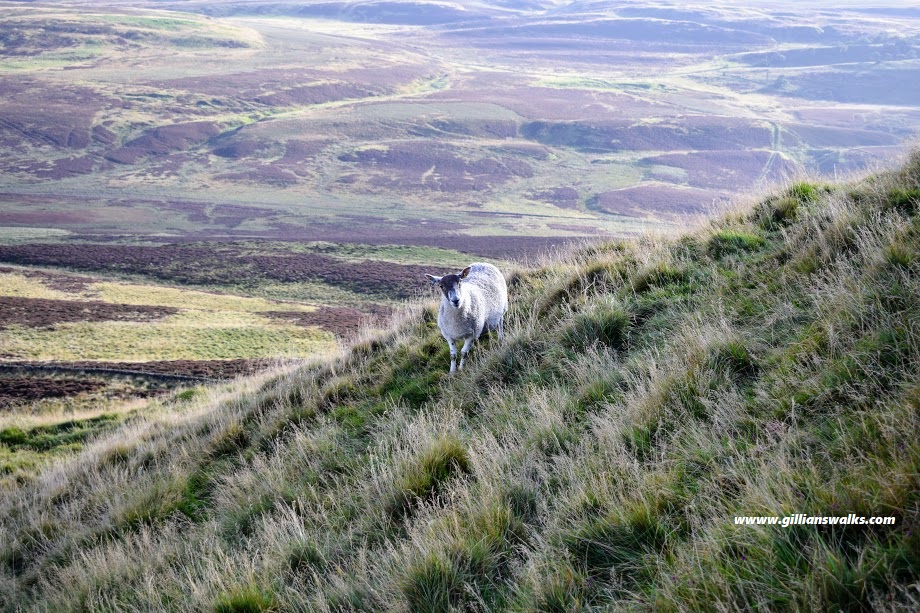
The sun stayed with us for the rest of the afternoon and I have to say that the second half of the walk – from the summit back to the car was most definitely my favourite. It could of course be related to the weather, I’d have to return on a good day to say for sure. But I just found the whole trail so scenic with varied underfoot conditions and plenty to keep the eyes busy. It was particularly muddy today though, but I am not one to be put off by that as you may well be aware!
