![]() Dog-friendly walk (some livestock possible at Brisbane Mains Farm and on the open hillside, please be a responsible dog owner)
Dog-friendly walk (some livestock possible at Brisbane Mains Farm and on the open hillside, please be a responsible dog owner)
![]() Public car park at Largs seafront, just off A78/Gallowgate Street (KA30 8BG) – chargeable. Regular bus and train services to Largs. Largs train station is a 500m walk from the start point of the walk.
Public car park at Largs seafront, just off A78/Gallowgate Street (KA30 8BG) – chargeable. Regular bus and train services to Largs. Largs train station is a 500m walk from the start point of the walk.
View full route description
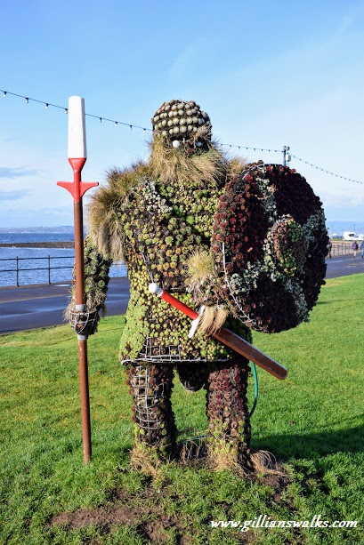
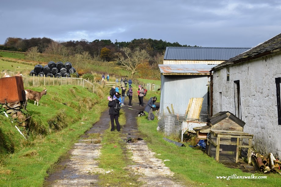
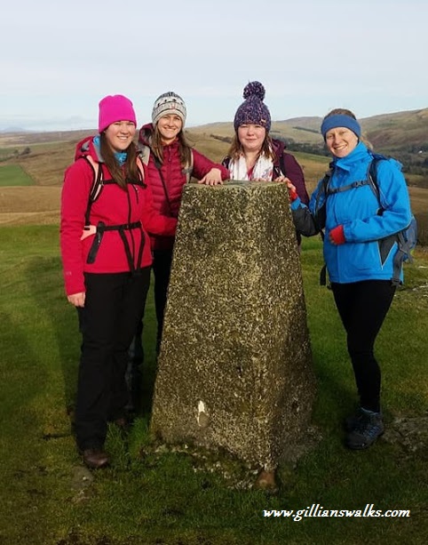
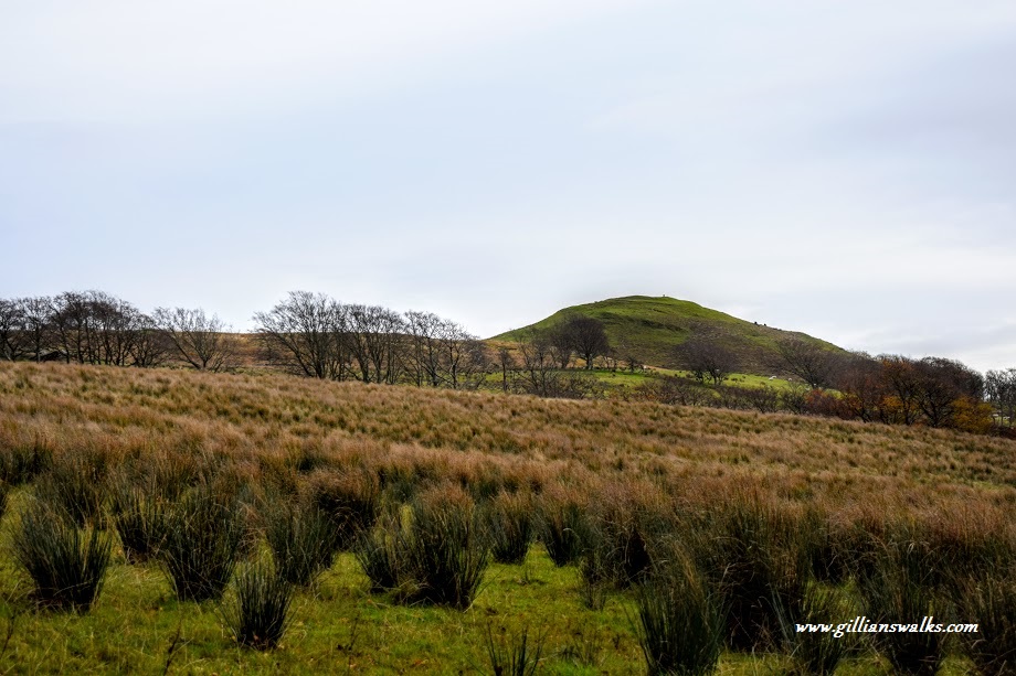
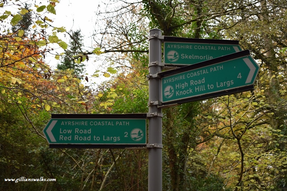
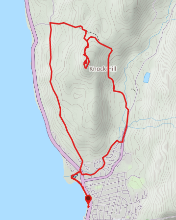
From the Viking statue near the ferry terminal on Largs shorefront, head North for approx 1km to reach Aubery Park and it’s pond. Cut across Aubery Park and turn right (North East) to follow the Noddsdale Water onto the A78. Turn right (South) onto the A78 then first left (East) onto Barr Crescent. This residential street becomes Noddleburn Road. Where it starts to bend away from the burn look out for a footpath to the left (North) and follow it along the edge of the burn for 800m. The footpath leads onto Glen Avenue. Turn left (North East) and follow Glen Avenue to emerge onto Brisbane Glen Road. Turn left (North) and walk along Brisbane Glen Road for 640m to a fork. Turn left (North) to follow the way-marked track to Brisbane Mains Farm. The route passes through the farmyard and through a gate. Head North from the farmyard. After 1km the rough path bends to the left (North West). 300m further along look out for an Ayrshire Coastal Path marker post – turn left (North West) for the Knock Hill path. The path heads South and circles around Knock Hill up to the summit trig point. From the summit descend via the same route. Instead of returning to the marker post, look out for a minor path on your left-hand side approx 400m along the path from the base of the hill. Turn onto the path (North West) to head down towards a wall. When you meet up with the wall, turn right (North) to follow it along to a gate. Go through the gate and follow the field boundary fence downhill – fence on your right-hand side. You will pass through a small woodland area with some steep, tricky uneven ground, to emerge onto Routenburn Road. Turn left (South) as indicated by the Ayrshire Coastal Path signage “Low Road/ Red Road to Largs”. Stay on this minor road for approx 3.2km, passing behind Knock Castle, to reach A78/Greenock Road. Turn left (South East) then and at the other side of the bridge cross the road and turn right (West) to go back into Aubery Park. Retrace your steps along Largs esplanade back to the Viking statue.
WALK REPORT: 11th November 2017
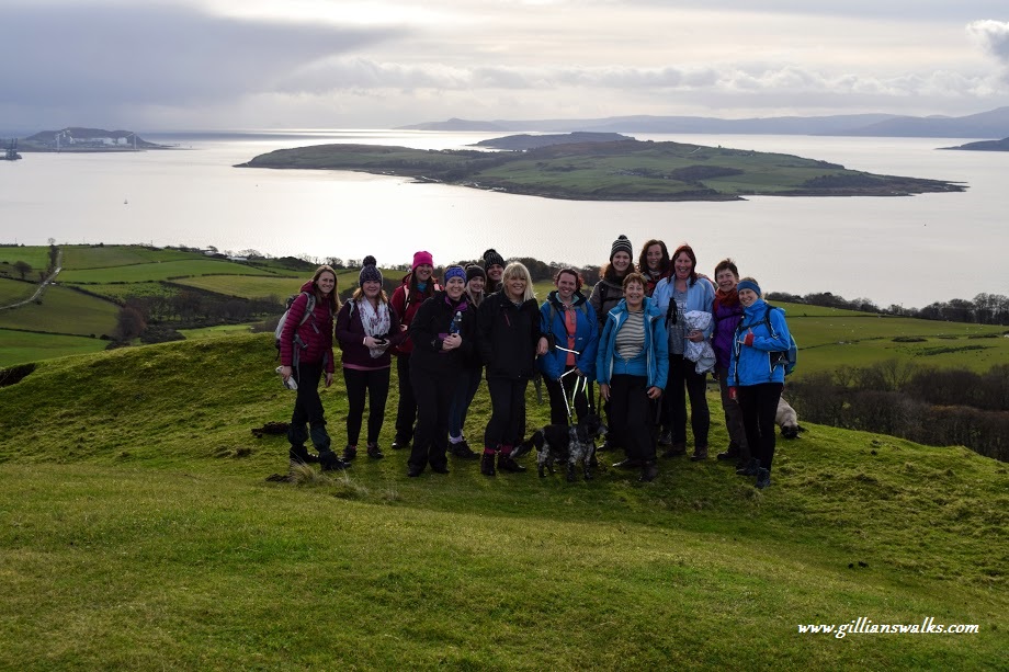
My first (and so far only) walk with the Scottish Women’s Hiking and Hill Walking Facebook group. Unsurprisingly only open to women, is a very active and friendly informal group with regular group walks happening all over Scotland. Whether you are a beginner, looking to take the next step in your walking journey or already have bags of experience you will be made very welcome.
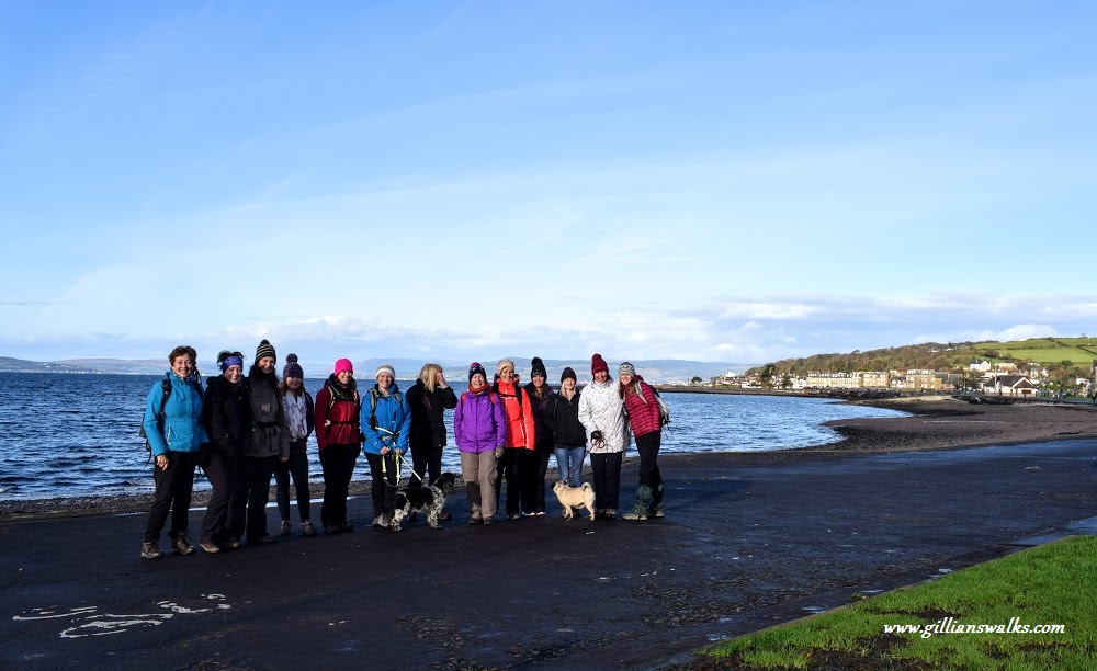
What a great turnout with 14 of us eager to see what Largs had to offer the hill walker! I had done parts of this route before a couple of times: the first many years ago when I distinctly remember getting lost on the way back down with my friend Kirsty, and more recently with my mum when I completed the final stage of the 100 mile Ayrshire Coastal Path. The bit I was keen to check out was the ‘Low Route’ since as far as I could recall this was the section I had yet to discover.
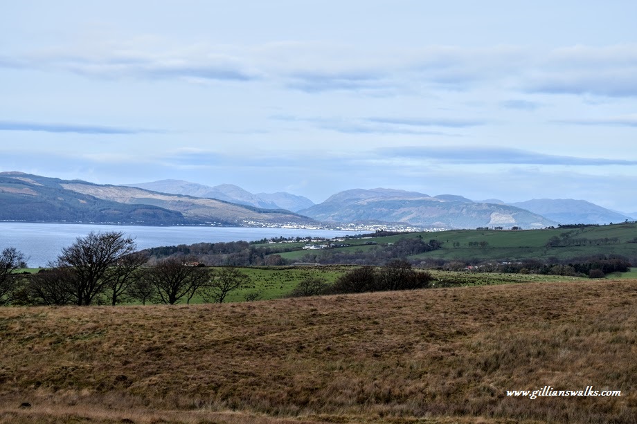
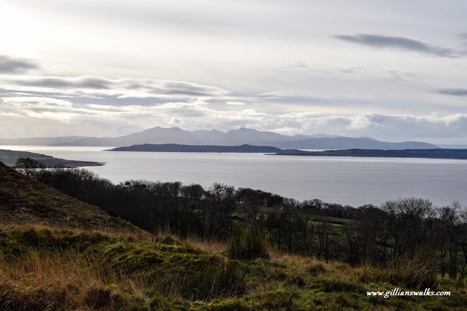
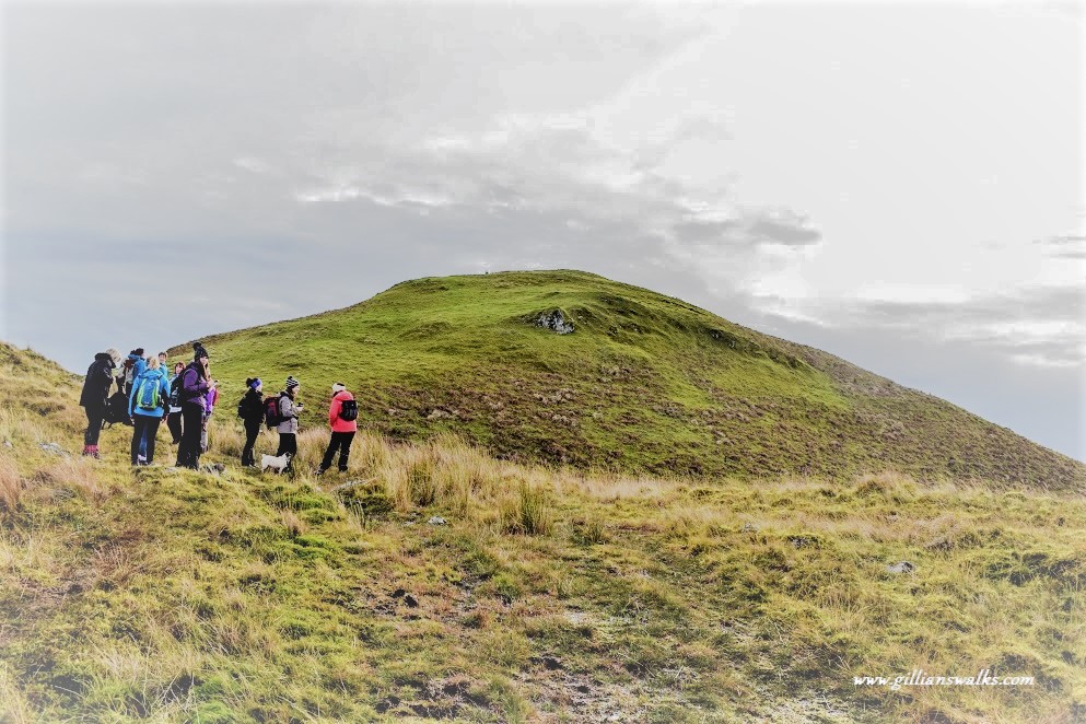
The event went really well and I met some amazing like-minded women. Who knew that there were so many crazy outdoorsy types like me out there?! The fact that I was familiar with the route came in very handy and the group started to look to me for navigation help when we reached the more remote section out on the open hillside. I was also chief photographer having taken along my trusty Nikon, and the self-timer was put to good use for some group shots! Only one minor mishap I can recall was one lady going knee-deep into a bog…. We even managed to have lunch at the summit whilst taking in the gorgeous panoramic views.
