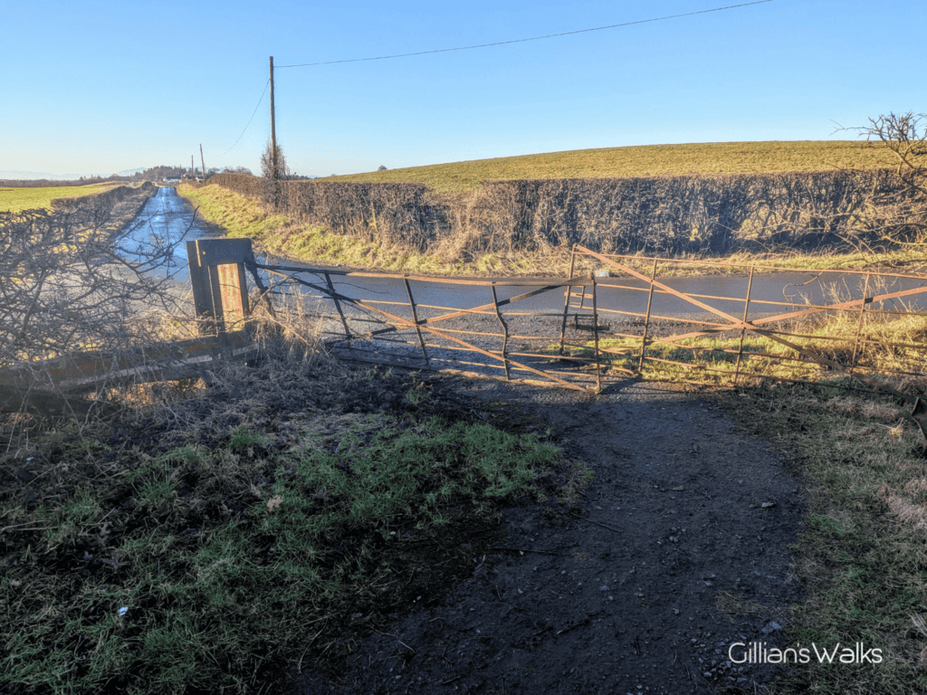
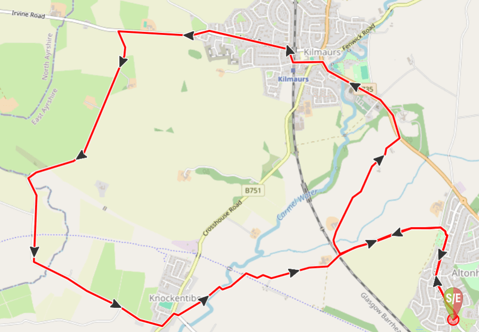
Terrain: This walk is graded easy. Mostly pavements and quiet country roads. One small patch of grass to cross at the back of the John Walker Drive play area, which can sometimes be muddy and leads to a gate which is permanently ajar, just enough to walk through. There is also a field crossing between North Woodhill farm and Kilmaurs, which has several gates on it.
![]() Small car park just off John Walker Drive, Kilmarnock (KA3 1NE) near the entrance to the recycling centre. Local bus service stops on Western Rd or Hill Street, a short walk from the start point. Kilmarnock bus and train stations are approx 1 mile away.
Small car park just off John Walker Drive, Kilmarnock (KA3 1NE) near the entrance to the recycling centre. Local bus service stops on Western Rd or Hill Street, a short walk from the start point. Kilmarnock bus and train stations are approx 1 mile away.
View full route description
Start by walking along John Walker Drive looking out for a large play park on your left. Turn into it and go through an open gate onto a quiet country road.
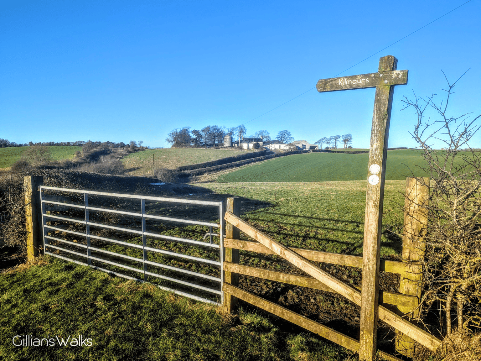
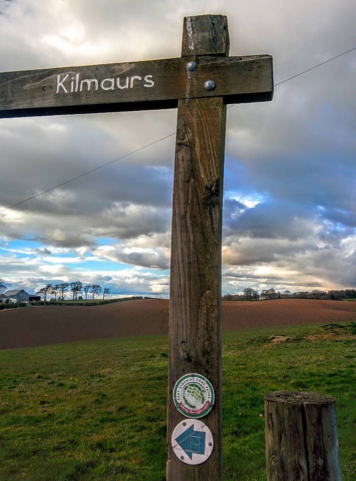
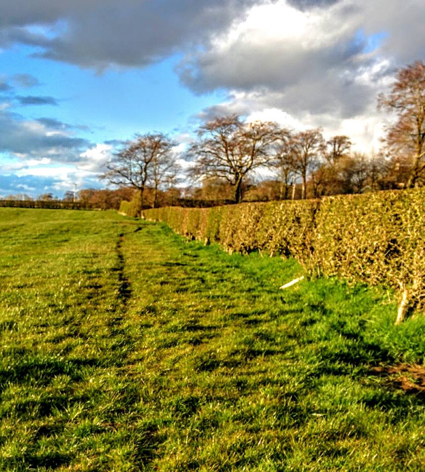
Walk left and follow the road along until the access road to North Woodhill farm, where you will see a way marker directing you turn right towards Kilmaurs. The road goes uphill towards the farm where it ends and continues across a grassy field accessed via a kissing gate.
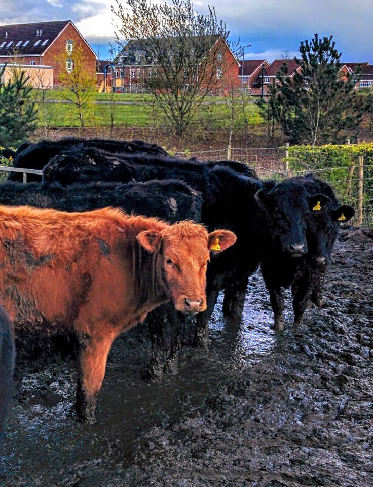
Cross the fields keeping to the right-edge and you will eventually emerge onto A735 Kilmarnock Road. Turn left and continue into Kilmaurs.
On reaching the main street in the village, cross over onto Sunnyside and walk past Kilmaurs Primary School.
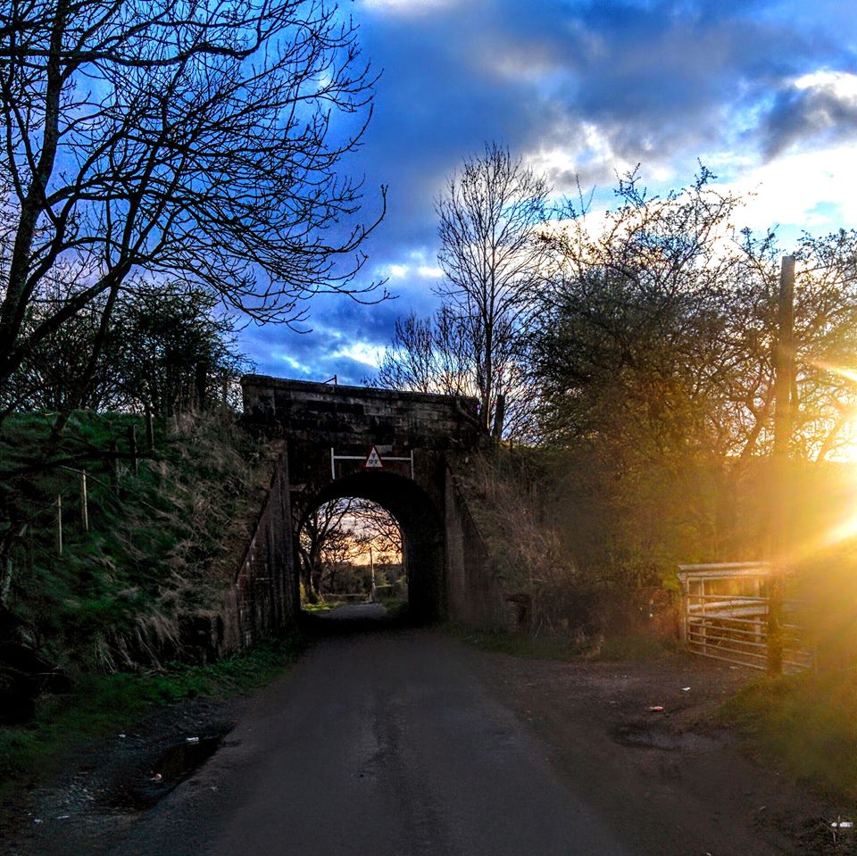
Turn right after the railway bridge then left onto Irvine Road. Follow Irvine Road along until you are leaving Kilmaurs and once you are past all the houses take the minor road on your left. This crosses over a burn and then under the National Cycle Route #73 and eventually veers left onto Kilmaurs Road, Knockentiber.
Turn left here and cross over. On your right there will be 2 roads – take the smaller one on the left.
Staying on this road will lead you back to the access road for North Woodhill farm, and then to the gates for the John Walker Drive playpark.
Retrace your steps from the park back to where you started the walk.
WALK REPORT: 26th April 2016
Last week while doing the Shanks Pony walk with my friend Lynsey, we noticed a way-marker for Kilmaurs and I have been keen to try out the route ever since. Tonight was the night!
Before setting off I calculated a loop we could do at approx 7 miles, although I wasn’t entirely sure where the ‘Kilmaurs’ sign was going to lead us exactly in the village, because according to my maps the road didn’t exist at all…..
We certainly didn’t expect to be crossing farmland! When we reached the end of the road at the farm we saw a track leading into a field and were both very unsure. But after checking around there didn’t appear to be any other way to go past so we decided to give it a bash knowing we could always turn back if it didn’t seem right.
When we got to the other side of the field and there was a kissing gate I knew we had gone the right way. Apart from the fact that there is little in the way of a path, the other reason I believe this isn’t a commonly used track is that there were very jaggy bushes growing into the kissing gate, which made for an uncomfortable passing through it! For me anyway…. Lynsey decided to climb over the metal gate instead (I do have a photo but that wouldn’t be nice!)
This definitely felt like a much longer walk than the one we did together the week before. I guess partly because it was…. 3.5 miles longer to be exact! But also because it was so bitterly cold!! Despite having full length thermals on top and bottom plus a t shirt, a fleece and a hoodie, it took me a couple of hours to heat up after I got home. My sister would tell me we obviously weren’t walking fast enough, but at an average speed of 3.3 mph (according to my tracker), I’d say we had a pretty good pace going!