Feeling like a challenge? Try my Wellwood to Glenbuck Loch via Cairn Table walk
TERRAIN: Graded Easy. Mostly on a disused railway track bed, so flat and grassy, sometimes boggy. No steep ascents or descents. A couple of sets of steps, and several kissing gates. Sheep often on the route.
![]() Parking for this walk is at Kames, just outside Muirkirk, where there is a small walkers car park right at the start point of the route. Local bus services stop in Muirkirk approx 15 mins walk from Kames. At Glenbuck, the only parking is approx 3/4 of a mile from the official Trailhead, at Glenbuck Heritage Village (free, plenty of space). No public transport to/from Glenbuck.
Parking for this walk is at Kames, just outside Muirkirk, where there is a small walkers car park right at the start point of the route. Local bus services stop in Muirkirk approx 15 mins walk from Kames. At Glenbuck, the only parking is approx 3/4 of a mile from the official Trailhead, at Glenbuck Heritage Village (free, plenty of space). No public transport to/from Glenbuck.
![]() There are no public toilets on this route. The Clubhouse at Muirkirk Caravan site is walker-friendly and located a few mins walk from Kames walkers car park. Check their opening times by contacting Gwen on 07930187858.
There are no public toilets on this route. The Clubhouse at Muirkirk Caravan site is walker-friendly and located a few mins walk from Kames walkers car park. Check their opening times by contacting Gwen on 07930187858.

View full route description
At the road-side entrance to the walkers car park at Kames, go through a gate onto a track which runs alongside a dry stone wall.
Turn left (N) at a fork 300m along. This takes you onto a narrower trail then down some steps and through a kissing gate, to follow an old railway track bed between two fences. You’ll reach another kissing gate approx 150m along, after which you should veer left (coming off the railway track) to go through another kissing gate and follow a trail along the edge of some trees, again between two fences.
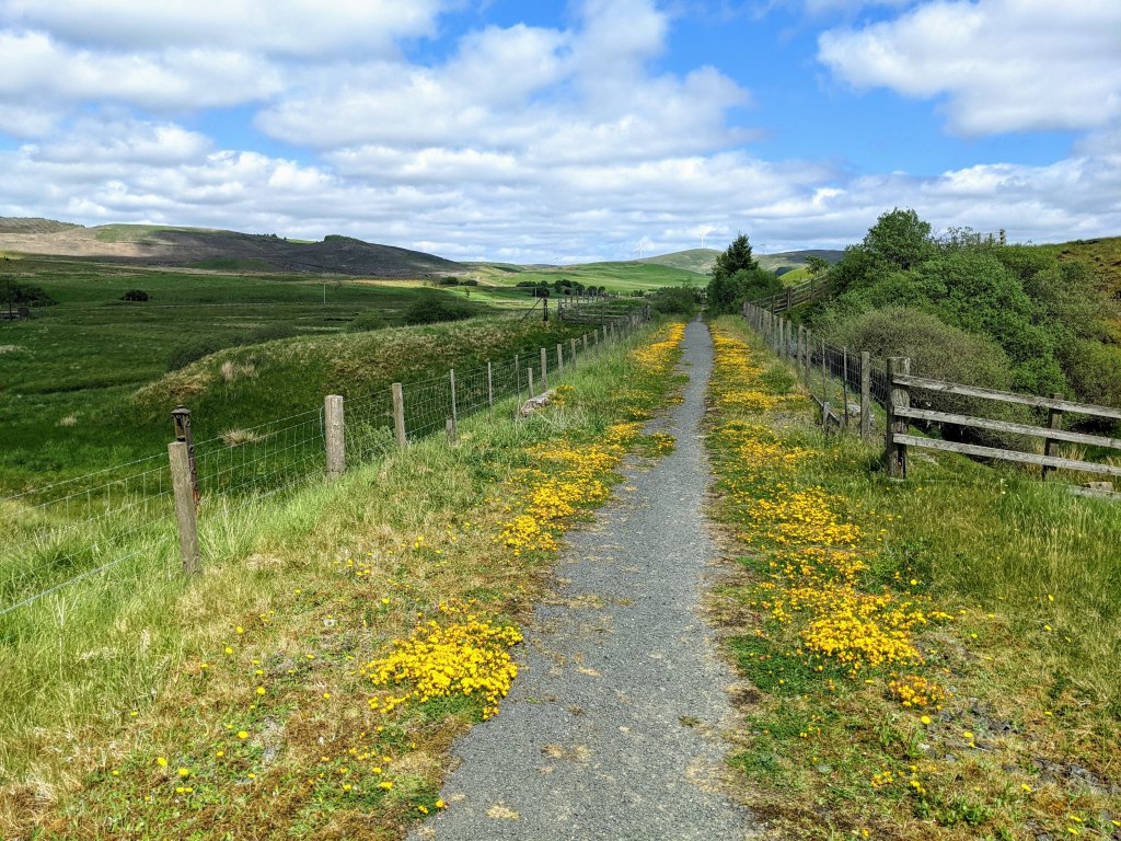
Approx 1km along you will reach a minor road. Turn left (N) and at the end of the road turn right (SE) onto another road. 100m along this road look out for a River Ayr Way marker post on your left. Go through the gate and follow grass and gravel footpaths along a disused railway track bed for 4.7km, eventually emerging onto the A70 at a gate.
Cross the A70 carefully to another gate directly across the road and turn right (E) along a path running parallel to the A70 behind a row of trees. The path ends on the minor road at Glenbuck Loch.
Turn left (N) along the road. After 160m turn right (NE) onto another road leading towards a cottage. Go through the pedestrian gate to the right (ignore the “Private Property” signs – this is the official River Ayr Way route) and continue along this road gently uphill to arrive at the Glenbuck Sculpture and information board marking the official River Ayr Way trail-head.
If you have time, I recommend exploring the woods here and the path which heads down to the banks of Glenbuck Loch where there is a bird hide and information centre.
If you are parked at Glenbuck Heritage Village, retrace your steps to the cottage/gates with the private property signs and turn right (N) onto the road. Follow this road uphill for approx half a mile / 700m to the car park at Glenbuck Heritage Village.
Walk Report: 24th May 2025
It had been the sunniest Spring since records began in 1910. No rain had fallen over Ayrshire for 35 consecutive days: quite unprecedented and certainly not what we’re used to on the west coast of Scotland! But of course, today would see the end of that fine weather spell, because our walking group was heading out to complete our final stage of the River Ayr Way. Sod’s Law, as they say!

We’re well used to walking in the rain though. Having walked the Ayrshire Coastal Path together over a period of 12 months, we suffered every type of weather possible. At least today, on this inland walk, we were sheltered from any wind. Damp conditions after a month-long drought…. not much of a breeze…. That can only mean one thing: the midges were out to play! Thankfully they didn’t bother us too much as long as we kept moving.
In spite of the conditions, everyone was in good spirits. This was to be a short walk to finish our River Ayr Way experience – at only 5 miles and with barely any incline, that should be no bother at all. We’d arranged ourselves so that some cars would be waiting for us at Glenbuck Heritage Village when we finished, and set off around 10.15am.
This section of the River Ayr Way is fairly well signposted, with the usual caveat of the directional arrows being aimed at walkers going in the other direction which is not always helpful. We did manage to miss a turn quite near the start, not realising until we arrived at a minor road and there were no RAW signs at all. A quick check of the map revealed that we had stayed on the disused railway track bed when we should, at some earlier point, have come off to the left to by-pass a small quarry site. I say “we” – to be honest I think only myself and the person walking with me at the front had any idea of this little mistake, and it was an easy fix, so before anyone else could raise any eyebrows we were back on track!

Apart from the first set of steps which had a dodgy handrail, I’d say the infrastructure on this section was in pretty good condition compared to some earlier stages. I’m pretty sure I’m right in saying that they (East Ayrshire Leisure) have replaced some kissing gates with self-closing pedestrian gates in some places since I last walked the route back in 2021.
To my delight, one of the group members – Hywel – had been researching the old railway line and gave a brilliant talk about the remains of an old viaduct on the route and the rivalry between the railway companies! How fascinating to hear about the history of a place whilst stood right there… and to think how easy it would have been to just walk past without even noticing the structure! Hywel was also able to point out the remains of the former Glenbuck Train Station when we got there – the platform clearly visible beside the path. I immediately spotted a group photo opportunity of course! The surrounding area feels so remote nowadays that it’s hard to believe such a large train platform was ever required. However it appears that back in the early 1900s, three different railways ran through Glenbuck, some serving the mining industry and another bringing leisure passengers day-tripping to the village to play or watch football with renowned local team the Glenbuck Cherrypickers, of whom footballing legend Bill Shankly was one!


The rather dreich conditions were fairly brightened up by a number of yellow-flowering plants spotted along the way. All along the old railway line for example, were these gorgeous low-growing plants, I believe ‘Common bird’s-foot-trefoil’. I took a close up photo to help with ID, but I also found a photo from my 2021 jaunt along this same walk which shows how the flowers brighten up the ground.

Close to where the route crosses the A70 we also saw two big clusters of Iris. Interestingly, each cluster was predominantly still just leaves, but each had one Iris flower in bloom! How wonderful the displays will look in a couple of weeks’ time when they are all in bloom!
We also spotted some Welsh Poppies close to the end of the walk – rather apt since Hywel’s wife had baked the group some delicious welsh cakes as a celebratory treat! We were course celebrating reaching the end of the River Ayr Way (more on that later!), and since these little cakes had been very popular on a previous walk back in March which happened to coincide with St David’s Day, the group had been hinting that another round of them would be very welcome any time 😉
There were lots of sheep and cute lambs on the trail. Always a slight concern at this time of year when passing with a group, however these just moved out our way, obviously well used to dealing with humans crossing their home. And on reaching Glenbuck Loch we were delighted to see a swan on her nest with some fluffy newborn cygnets. It looked as though there were maybe three cygnets however on passing later in the car they were having a swim and we were able to count six!

Considering the weather and relatively short walk distance, we decided to wait until Glenbuck Loch before having lunch. A 1.30pm arrival meant perfect timing, and the bird hide provided the perfect shelter for us from the several heavy showers which came down during our time there. Glenbuck Loch is such a peaceful spot. Sitting here today, watching the swans and other bird life, it’s strange to think that a train line once crossed the loch, only closing in the 1960s! And that the whole area around here used to be a hive of activity with coal mining and iron works. It is also crazy to think that Glenbuck Loch was built to supply water to fuel the cotton mills along the River Ayr, including the large mill at Catrine, some 16 miles downstream!
Back to our celebration though: we had reached the end of the River Ayr Way! Or the start, depending on how you look at things. We had been walking it from sea to source – against the norm – because that is how I walked it first time around and therefore how all my Route Guides were written. Since part of the reason for walking the route again this year was to update those Route Guides, it was necessary to do the route from west to east. A downside to that is that it is generally uphill most of the way! However a big plus side, in my opinion, is the anticipation of experiencing what we all know as a mighty river gradually becoming smaller and smaller, until it is unrecognisable – a mere stream. Leaving the unknown for the end…. And that happened today. As we approached a footbridge over a small burn, I thought to myself, “That can’t be the River Ayr“. A quick look at the map revealed that in fact yes, that cute little stream was indeed the River Ayr! This was the moment I’d been waiting for since November 🙂

And so we found ourselves at the Trail-head, surrounded by midges, where I handed out personalised completion certificates to a delighted group and Alex, stood on a log pile, recited a poem he had penned in admiration of Gillian’s Walks. What a bunch 😉

So there you have it, enrol directly with Gillian’s Walks! And this is the sort of fun you could be having 😉
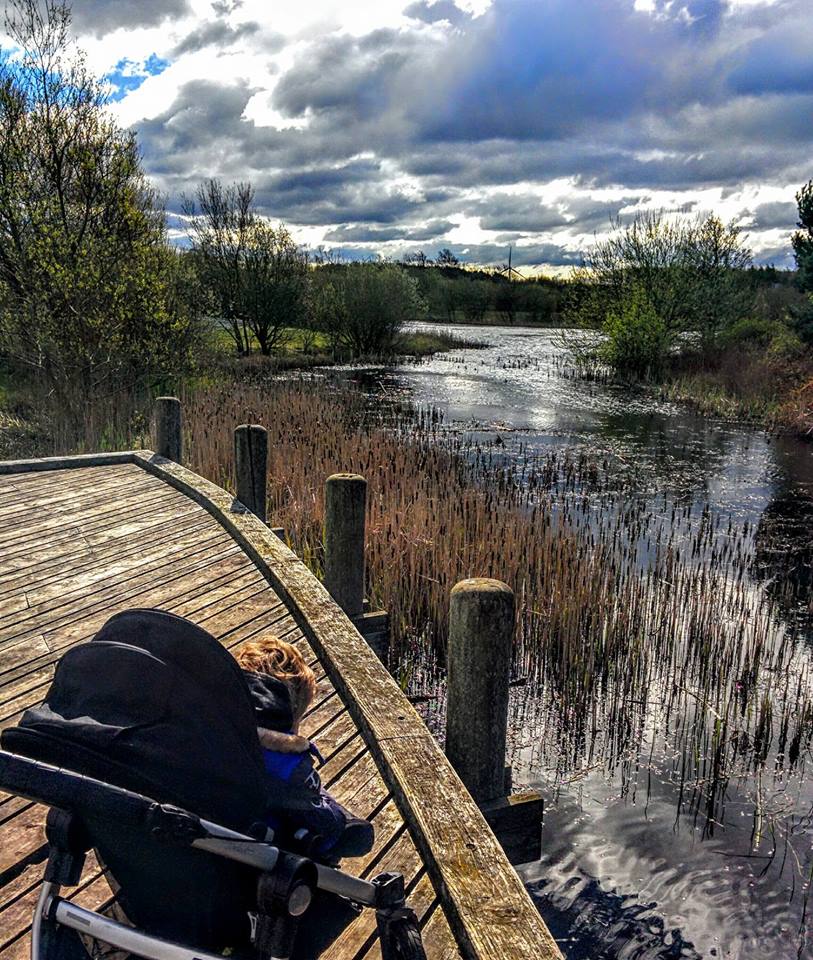
Boardwalk, steps and gates on this walk:


Previous section: Limmerhaugh to Muirkirk
Whole route: River Ayr Way