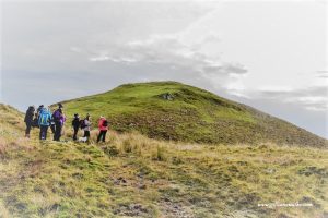
9+ miles Walk 226 – Ayrshire Coastal Path – Glenapp to Ballantrae via clifftops (9.5 miles) Read More » April 14, 2023
6-9 miles Walk 129 – Ayrshire Coastal Path: Ardrossan to Portencross (6.5 miles) Read More » April 23, 2017
6-9 miles Walk 130 – Ayrshire Coastal Path: Portencross to Largs (7 miles) Read More » April 23, 2017
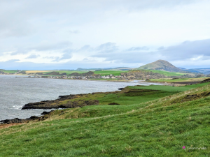
9+ miles Walk 131 – Ayrshire Coastal Path: Largs to Skelmorlie via Knock Hill (10.5 miles) Read More » April 22, 2017
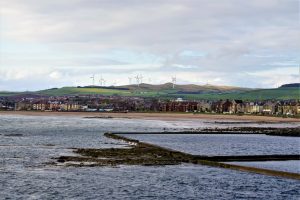
9+ miles Walk 126 – Ayrshire Coastal Path: Ayr – Prestwick – Troon (9.6 miles) Read More » April 15, 2017
6-9 miles Walk 127 – Ayrshire Coastal Path: Troon – Barassie – Irvine (6.5 miles) Read More » April 15, 2017
9+ miles Walk 128 – Ayrshire Coastal Path: Irvine – Stevenston – Saltcoats – Ardrossan (9.3 miles) Read More » April 14, 2017
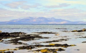
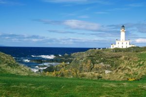
9+ miles Walk 124 – Ayrshire Coastal Path: Girvan -Turnberry – Maidens (10 miles) Read More » April 10, 2017
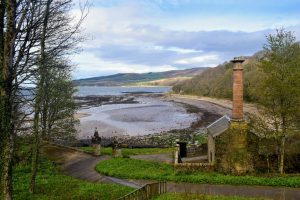
6-9 miles Walk 125 – Ayrshire Coastal Path: Maidens – Culzean – Dunure (7 miles) Read More » April 10, 2017
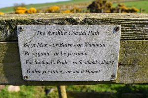
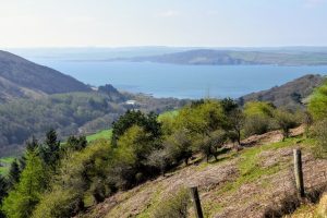
6-9 miles Walk 121 – Ayrshire Coastal Path: Glenapp to Ballantrae (9.3 miles) Read More » April 8, 2017